NVNevada rankings

Most walkable towns in Nevada

Ranked by street connectivity: intersections per square mile, the standard walkability measure the EPA uses. 42 towns with 2,500+ residents.
U.S. Census ACS 2020–2024 5-year

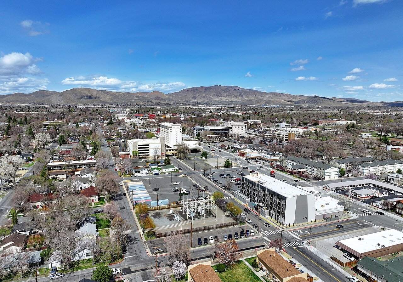
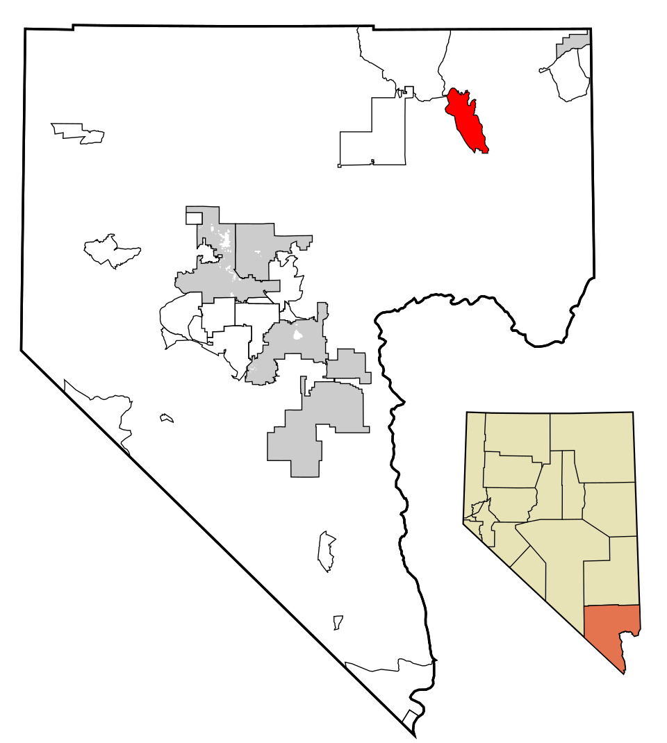
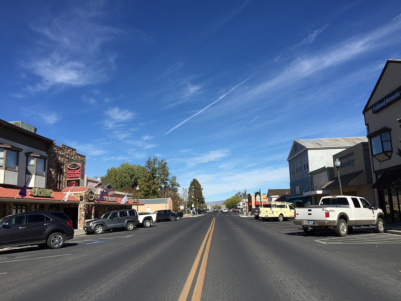
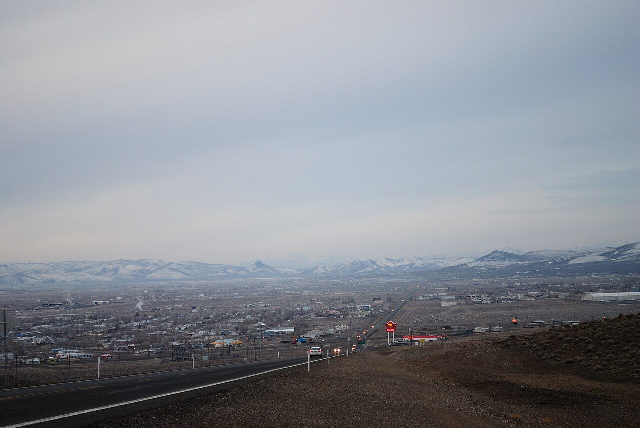
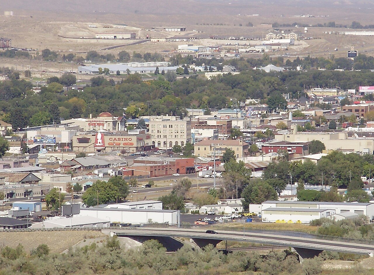
Elko
Nevada · Most walkable

Where Elko lands: #19 of 42

42.9 / sq mi street intersections per square mile · Visit Elko →
#TownIntersections per sq miDead endsStreet miles
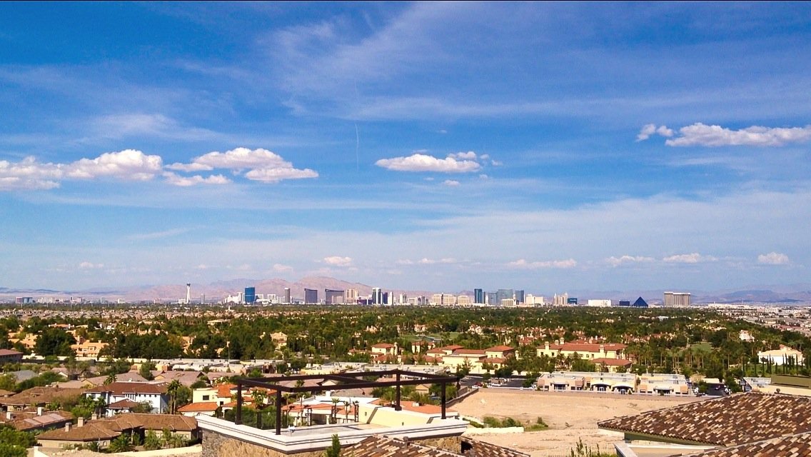
1 Spring Valley Spring Valley219,187 people 172 / sq mi 28.6% 721.3 mi
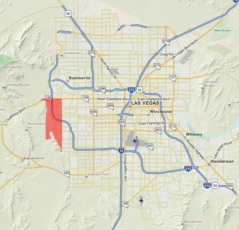
2 Map of Summerlin South Summerlin South31,354 people 166 / sq mi 20.2% 193.5 mi
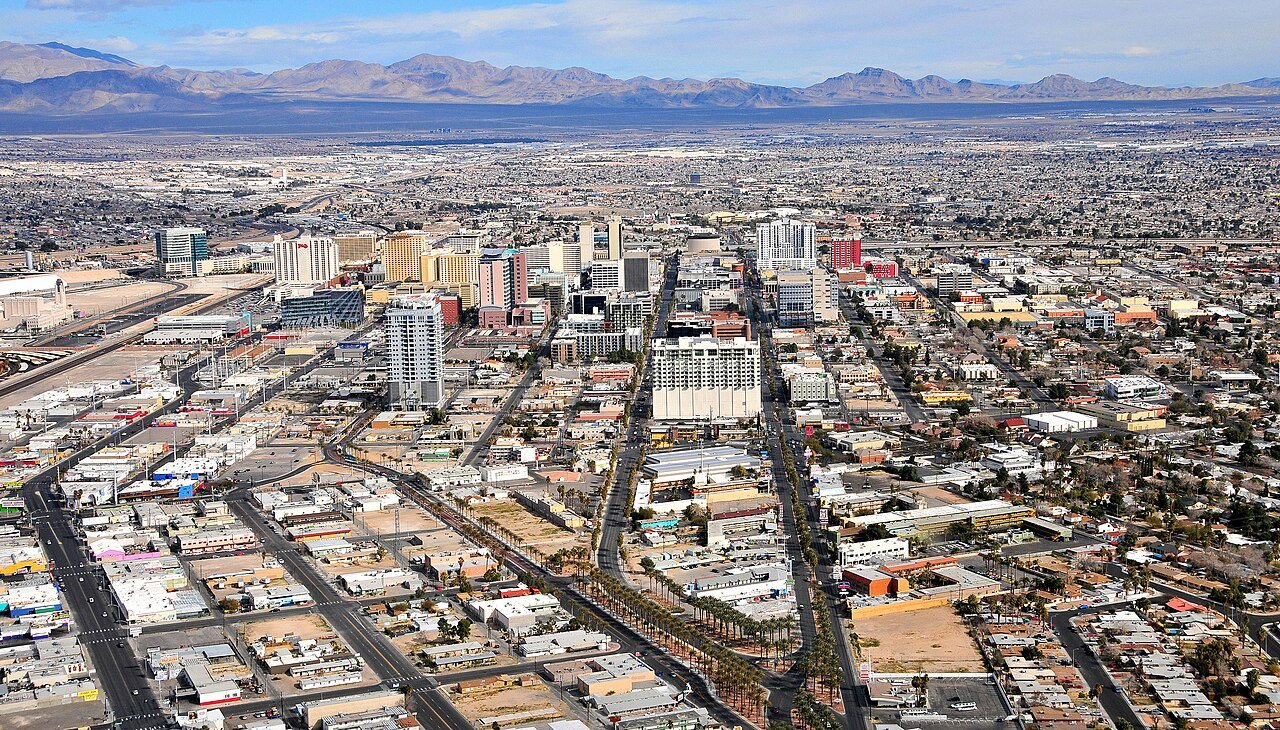
3 Las Vegas Las Vegas660,400 people 140 / sq mi 22.9% 2,437.3 mi
4 Whitney Whitney47,221 people 137 / sq mi 26.3% 108.5 mi
5 Winchester Winchester37,081 people 135 / sq mi 9.8% 90.5 mi
6 Sunrise Manor Sunrise Manor200,218 people 124 / sq mi 21.3% 543.2 mi
7 Hawthorne Hawthorne2,809 people 124 / sq mi 2.3% 33.8 mi
8 Enterprise Enterprise240,464 people 123 / sq mi 33.7% 949.4 mi
9 Paradise Paradise185,913 people 120 / sq mi 20.3% 684.1 mi
10 Henderson Henderson332,141 people 100 / sq mi 20.3% 1,596.3 mi
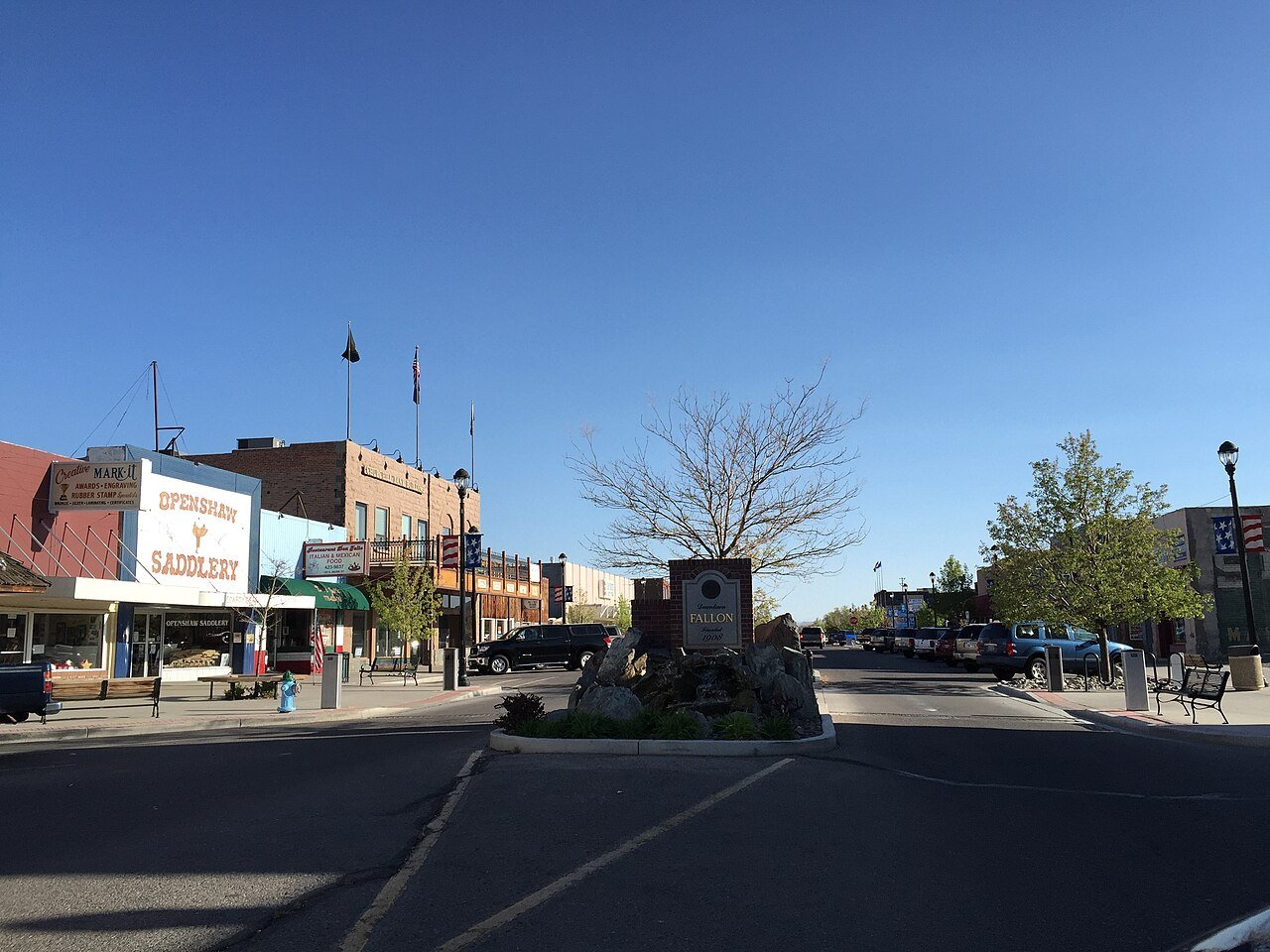
11 Fallon Fallon9,463 people 99.6 / sq mi 15.6% 51.6 mi
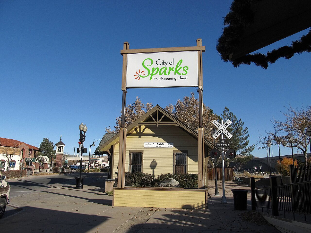
12 Sparks Sparks110,024 people 92.8 / sq mi 21.1% 480.2 mi
13 Minden Minden3,707 people 82.9 / sq mi 21.5% 38.2 mi
14 North Las Vegas North Las Vegas278,595 people 76.6 / sq mi 23.8% 1,029.2 mi
15 Nellis AFB5,087 people 72.1 / sq mi 22.1% 31.8 mi
16 Gardnerville Gardnerville5,486 people 67.4 / sq mi 20.3% 41.1 mi
17 Reno Reno273,212 people 64.9 / sq mi 19.8% 1,089.5 mi
18 Winnemucca Winnemucca8,361 people 48.7 / sq mi 17% 75.6 mi
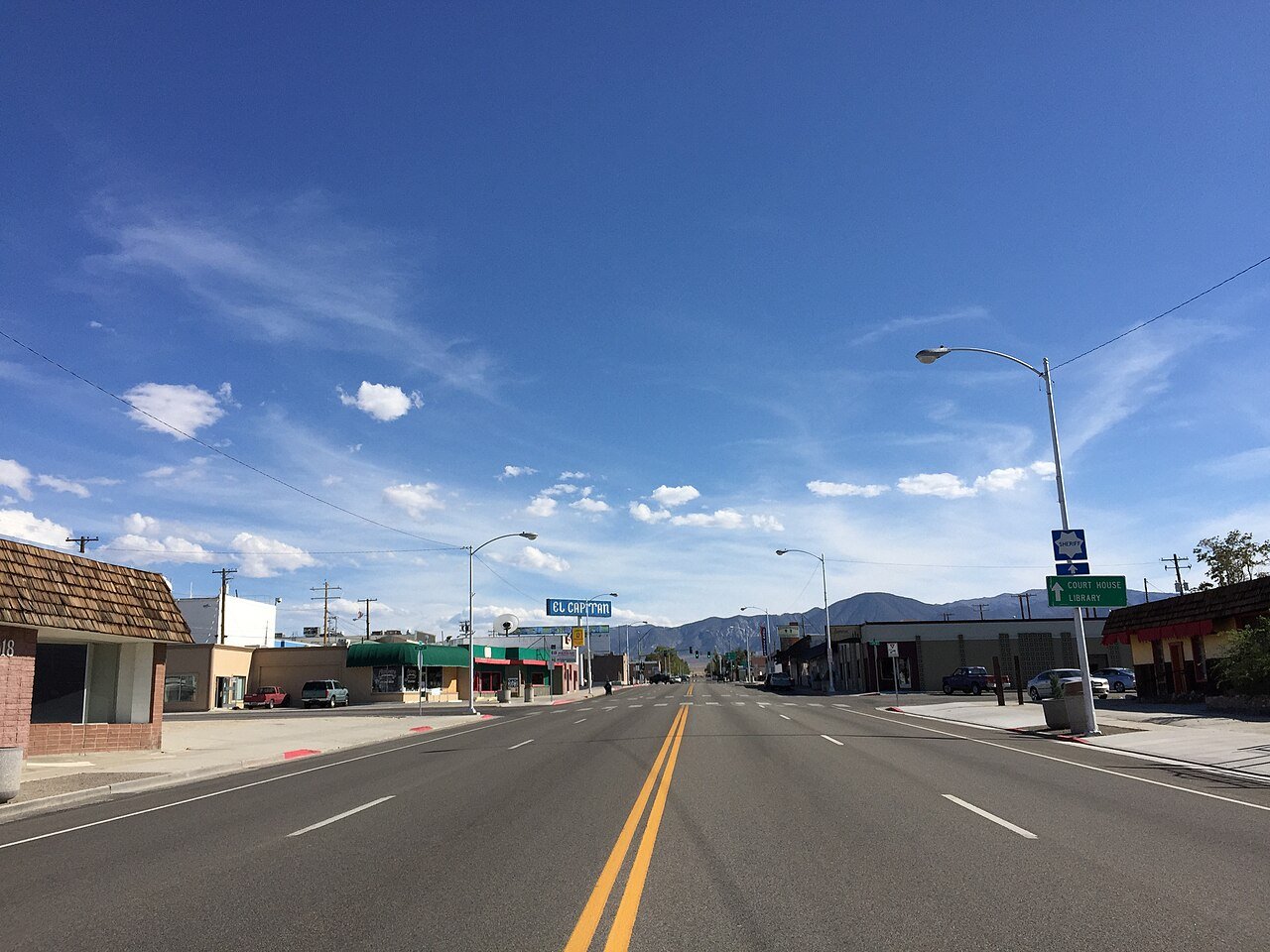
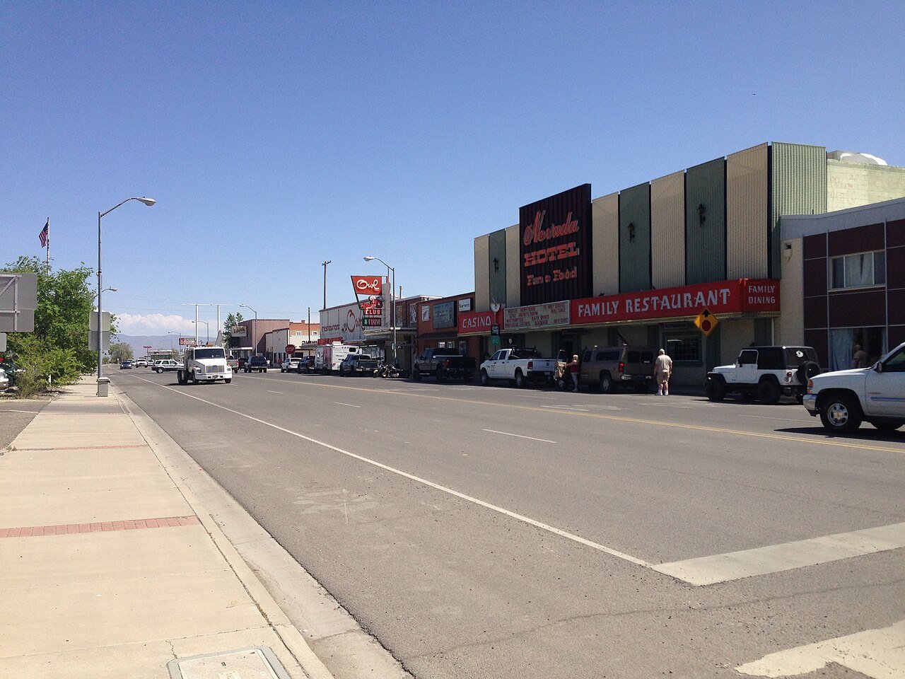
19 Elko Elko20,696 people 42.9 / sq mi 17.7% 127.2 mi
20 Ely Ely3,929 people 42.4 / sq mi 12.1% 50.0 mi
21 Sun Valley Sun Valley22,228 people 34.0 / sq mi 40.4% 83.2 mi
22 Map of Gardnerville Ranchos Gardnerville Ranchos12,114 people 33.1 / sq mi 24.3% 73.7 mi
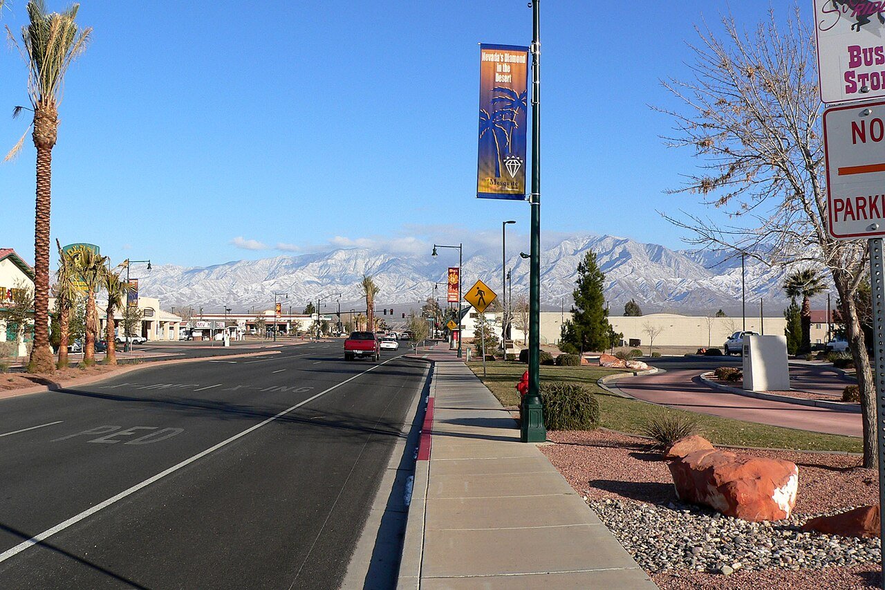
23 Mesquite Mesquite22,059 people 32.1 / sq mi 21% 181.0 mi
24 Battle Mountain Battle Mountain3,518 people 32.0 / sq mi 21.7% 40.2 mi
25 Cold Springs Cold Springs11,321 people 28.9 / sq mi 43.8% 50.6 mi
26 Washoe Valley Washoe Valley3,315 people 26.9 / sq mi 29.3% 42.3 mi
27 Map of Laughlin Laughlin8,789 people 18.5 / sq mi 31.5% 50.1 mi
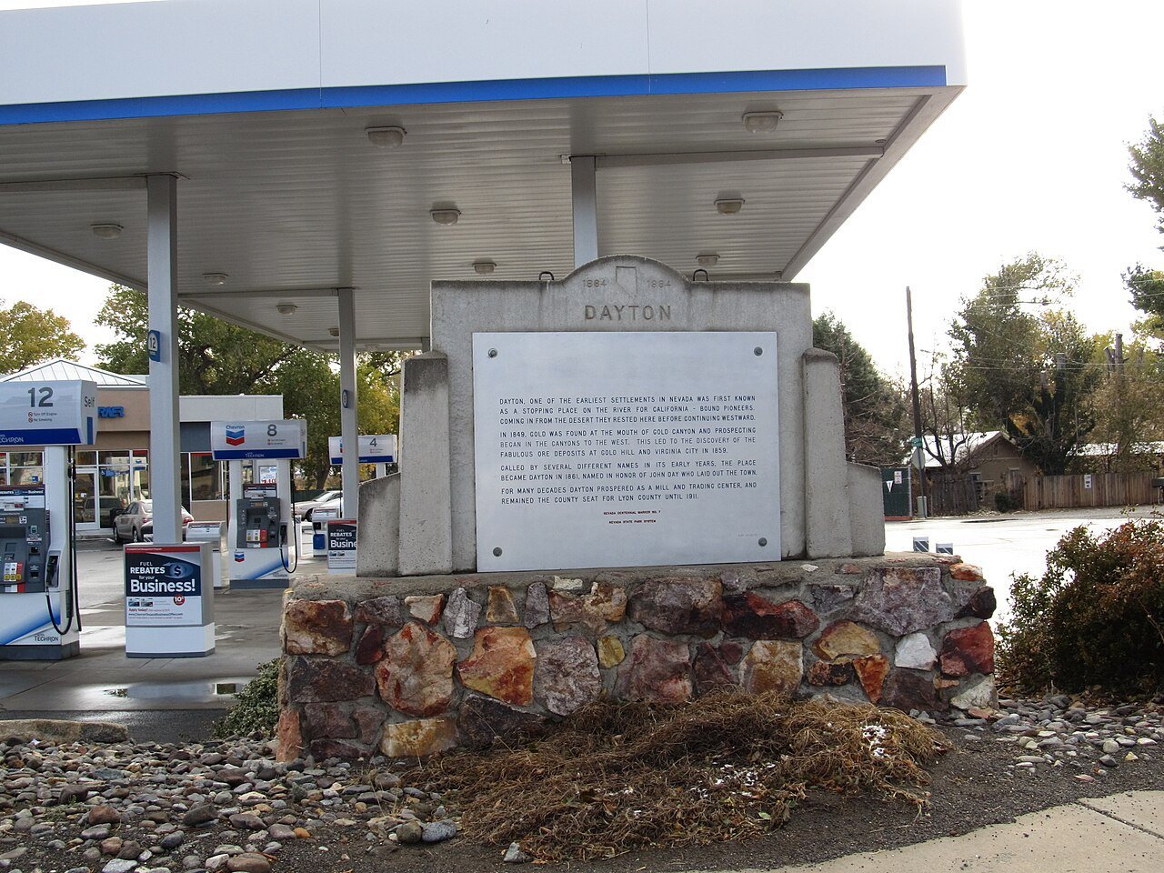
28 Dayton Dayton15,781 people 17.4 / sq mi 27.1% 122.9 mi
29 West Wendover West Wendover4,514 people 17.2 / sq mi 25.1% 25.2 mi
30 Map of Indian Hills Indian Hills5,527 people 16.7 / sq mi 29.2% 61.5 mi
31 Incline Village Incline Village9,272 people 16.2 / sq mi 30% 85.1 mi
32 Carson Carson58,384 people 14.2 / sq mi 20.8% 384.7 mi
33 Spanish Springs Spanish Springs17,980 people 11.5 / sq mi 31.6% 148.9 mi
34 Lemmon Valley4,412 people 10.7 / sq mi 23.2% 57.6 mi
35 Map of Johnson Lane Johnson Lane6,467 people 10.1 / sq mi 32.2% 62.4 mi
36 Pahrump Pahrump47,347 people 9.9 / sq mi 20.3% 944.2 mi
37 Spring Creek Spring Creek14,739 people 9.1 / sq mi 29.3% 220.9 mi
38 Map of Moapa Valley Moapa Valley6,684 people 8.8 / sq mi 30% 101.3 mi
39 Yerington Yerington3,150 people 6.3 / sq mi 17% 46.8 mi
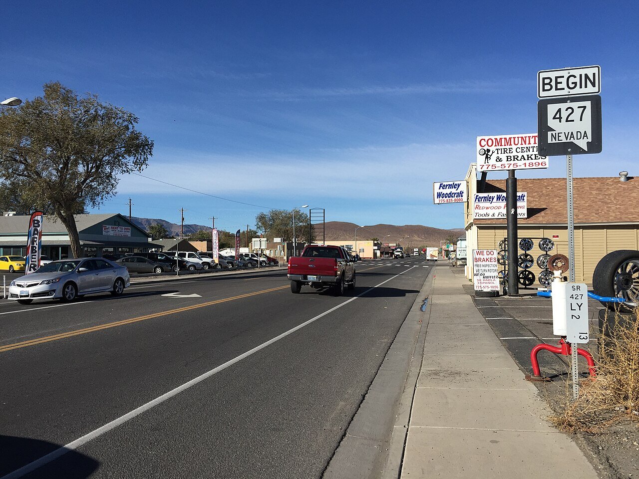
40 Fernley Fernley24,225 people 5.7 / sq mi 26.8% 185.7 mi
41 Silver Springs Silver Springs5,060 people 4.5 / sq mi 24.5% 169.0 mi
42 Boulder City Boulder City14,919 people 3.6 / sq mi 21.3% 155.7 mi

How this ranking works

We rank every town by street connectivity: intersections per square mile, the standard walkability measure the EPA uses. More intersections mean shorter, more direct walks, while cul-de-sac layouts with long dead ends rank lower. Sidewalks are not mapped consistently enough to rank, so this measures the street grid itself. The town with the highest figure ranks #1.

Only towns with at least 2,500 residents are ranked; Census estimates for smaller places are too uncertain. Population and income: U.S. Census Bureau American Community Survey 5-year estimates. Trails, streets and parks: © OpenStreetMap contributors (ODbL). Conserved land: USGS PAD-US. Measured within each town's Census boundary. Town photos: Wikimedia Commons, credited on each town’s page.

Same ranking in other states