NENebraska rankings

Most walkable towns in Nebraska

Ranked by street connectivity: intersections per square mile, the standard walkability measure the EPA uses. 55 towns with 2,500+ residents.
U.S. Census ACS 2020–2024 5-year

#TownIntersections per sq miDead endsStreet miles
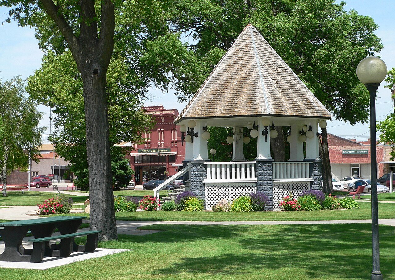
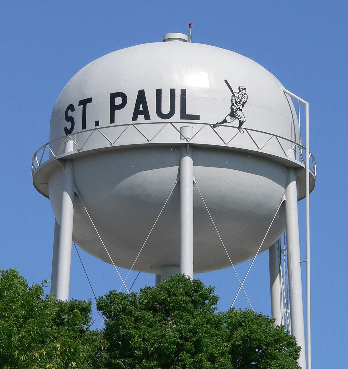
1 St. Paul St. Paul2,758 people 160 / sq mi 13% 26.5 mi
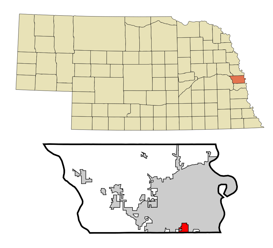
2 Map of Ralston Ralston6,472 people 147 / sq mi 17.8% 34.2 mi
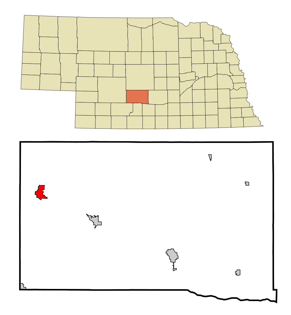
3 Broken Bow Broken Bow3,502 people 132 / sq mi 10.8% 36.6 mi
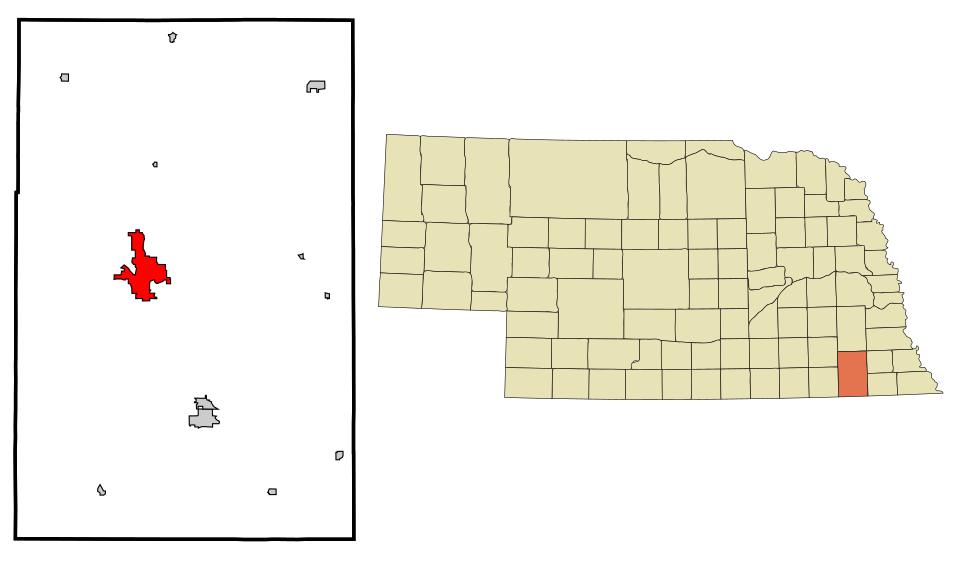
4 Map of Ashland Ashland3,071 people 130 / sq mi 12.5% 24.7 mi
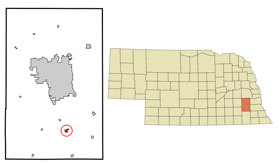
5 Map of Hickman Hickman3,004 people 128 / sq mi 20.9% 17.4 mi
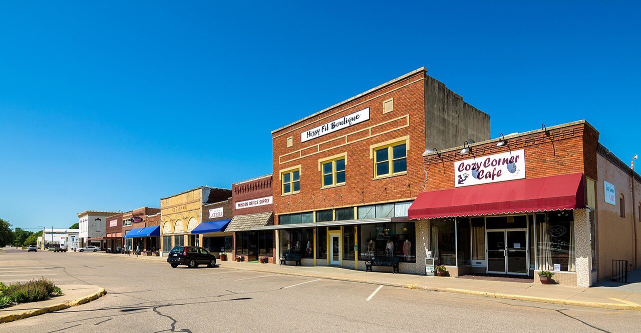
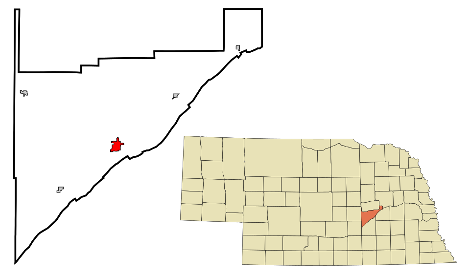
6 Minden Minden3,108 people 119 / sq mi 8.5% 33.7 mi
7 Map of Central City Central City3,061 people 114 / sq mi 9.2% 37.6 mi
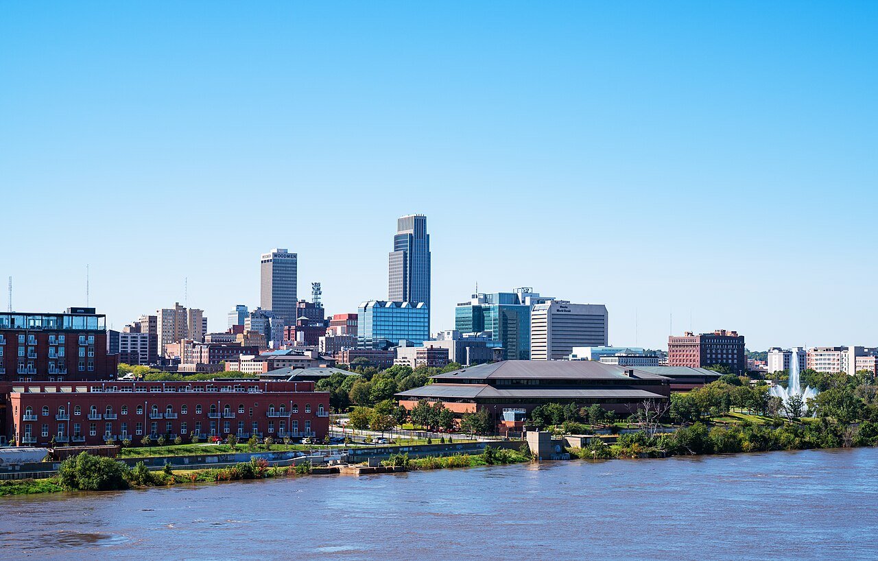
8 Omaha Omaha488,837 people 114 / sq mi 13.1% 2,356.2 mi
9 Fairbury Fairbury3,888 people 114 / sq mi 8.9% 43.9 mi
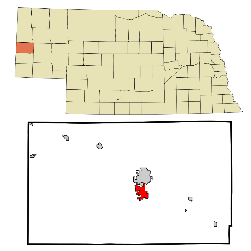
10 Scottsbluff Scottsbluff14,376 people 113 / sq mi 9.8% 112.4 mi
11 La Vista La Vista16,563 people 112 / sq mi 14.6% 94.6 mi
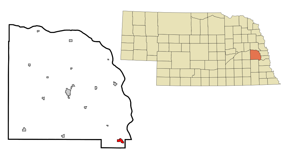
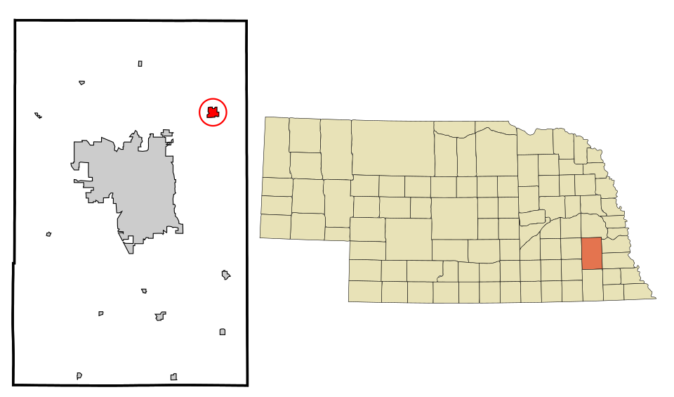
12 Map of Milford Milford2,565 people 112 / sq mi 19.1% 12.6 mi
13 Map of Schuyler Schuyler6,578 people 108 / sq mi 12.4% 43.3 mi
14 Map of Auburn Auburn3,470 people 107 / sq mi 9.4% 34.0 mi
15 O'Neill O'Neill3,570 people 106 / sq mi 7.1% 38.1 mi
16 Columbus Columbus24,488 people 104 / sq mi 11.3% 171.5 mi
17 Map of Fremont Fremont27,567 people 102 / sq mi 9.4% 173.6 mi
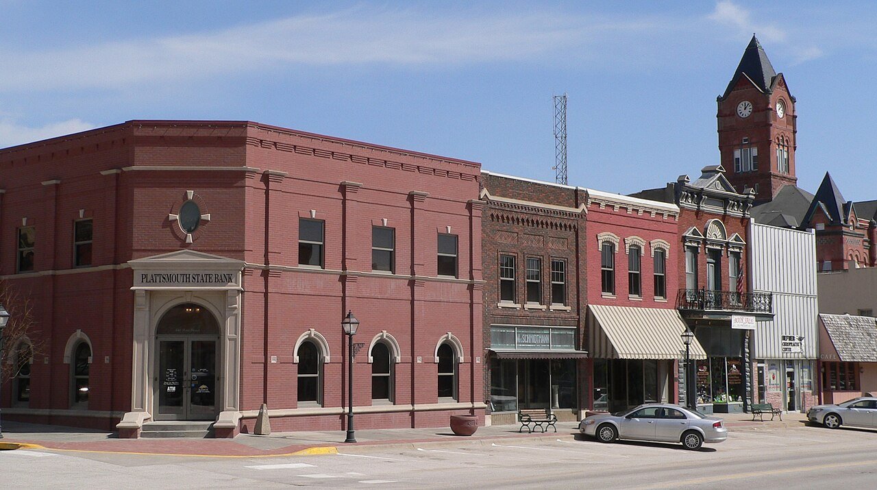
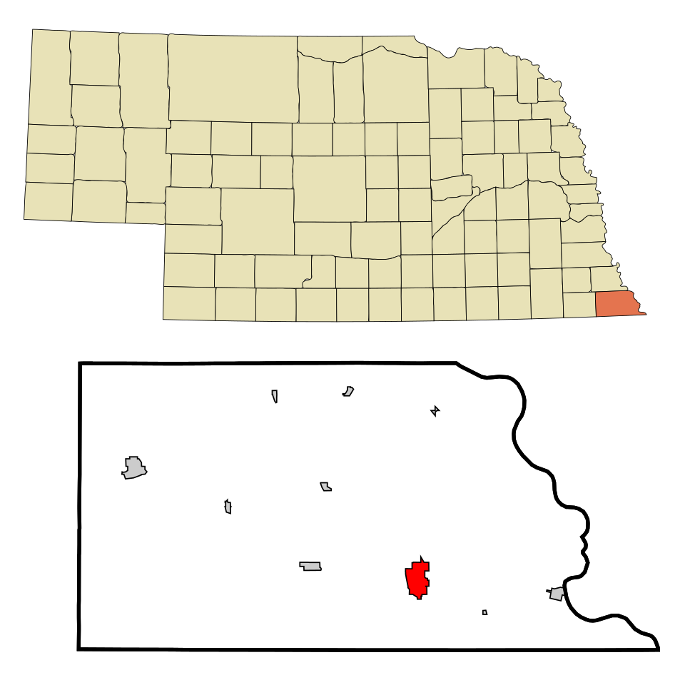
18 Plattsmouth Plattsmouth6,731 people 101 / sq mi 12.2% 45.8 mi
19 Map of Falls City Falls City4,077 people 98.6 / sq mi 8.6% 45.4 mi
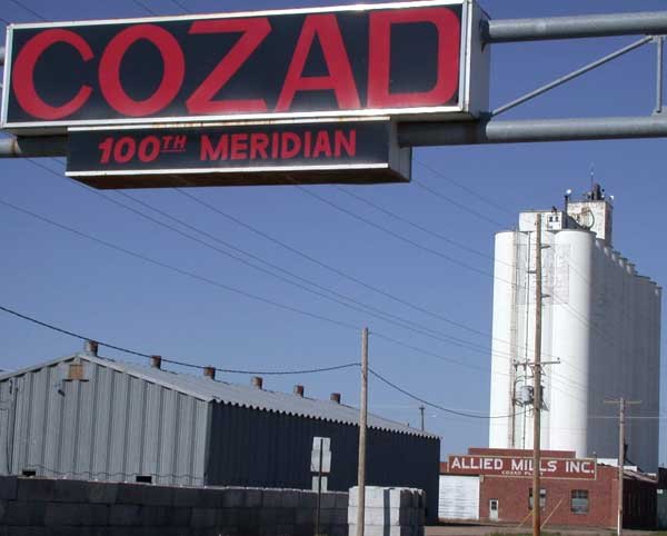
20 Cozad Cozad3,937 people 97.1 / sq mi 10.9% 37.5 mi
21 Kearney Kearney34,246 people 94.8 / sq mi 15.8% 221.9 mi
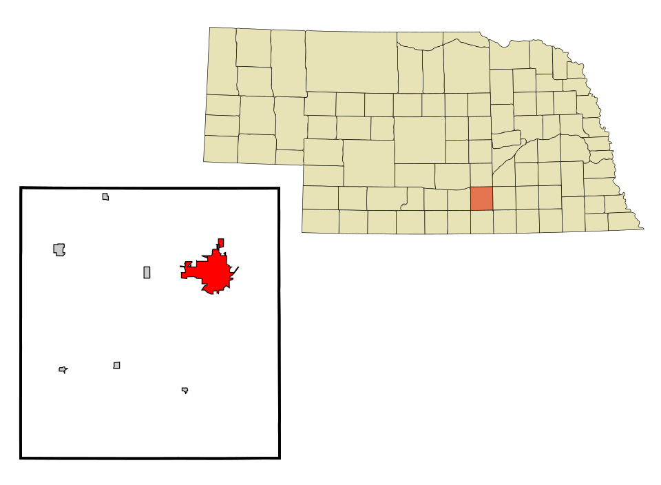
22 Map of Wahoo Wahoo4,929 people 94.7 / sq mi 12.7% 42.8 mi
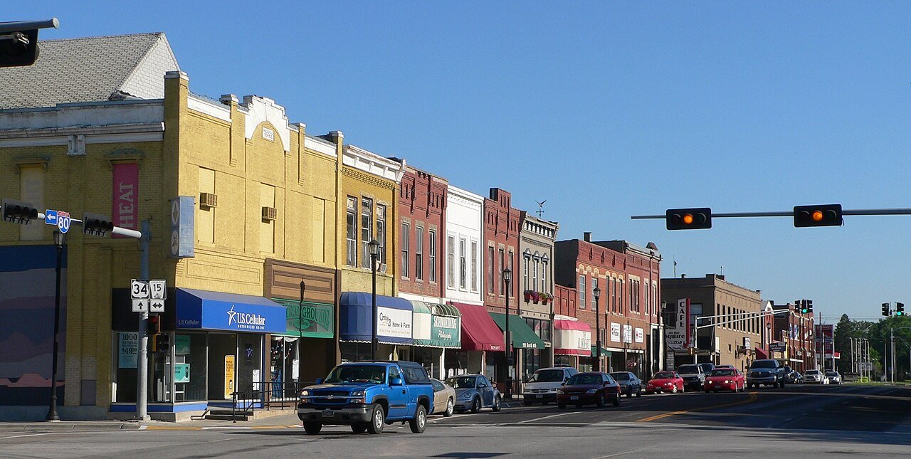
23 Lincoln Lincoln294,856 people 92.7 / sq mi 13.4% 1,377.0 mi
24 Nebraska City Nebraska City7,369 people 90.5 / sq mi 12.9% 67.3 mi
25 Map of Alliance Alliance8,075 people 89.6 / sq mi 11.2% 64.2 mi
26 Bellevue Bellevue64,510 people 87.4 / sq mi 19.4% 323.3 mi
27 Map of Crete Crete7,527 people 86.4 / sq mi 16.9% 50.0 mi
28 Aurora Aurora4,664 people 85.9 / sq mi 14.1% 44.0 mi
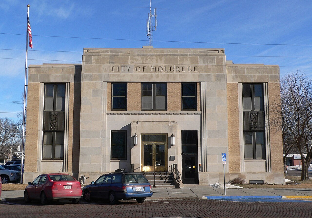
29 Holdrege Holdrege5,546 people 84.5 / sq mi 8.5% 57.3 mi
30 Map of Dakota City Dakota City2,675 people 83.5 / sq mi 5.3% 19.7 mi
31 Lexington Lexington10,862 people 82.7 / sq mi 9.5% 66.6 mi
32 Map of West Point West Point3,471 people 80.0 / sq mi 12.9% 33.5 mi
33 McCook McCook7,314 people 78.5 / sq mi 8.6% 70.4 mi
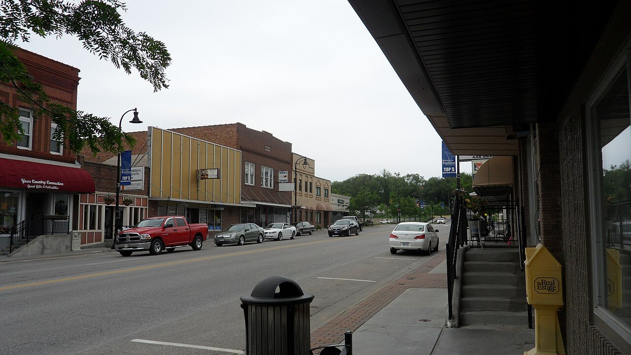
34 Papillion Papillion25,244 people 77.8 / sq mi 14.9% 156.5 mi
35 Map of York York8,141 people 76.1 / sq mi 9.8% 81.4 mi
36 Grand Island Grand Island52,884 people 74.7 / sq mi 12.3% 348.0 mi
37 Map of Beatrice Beatrice12,225 people 74.4 / sq mi 13.5% 118.6 mi
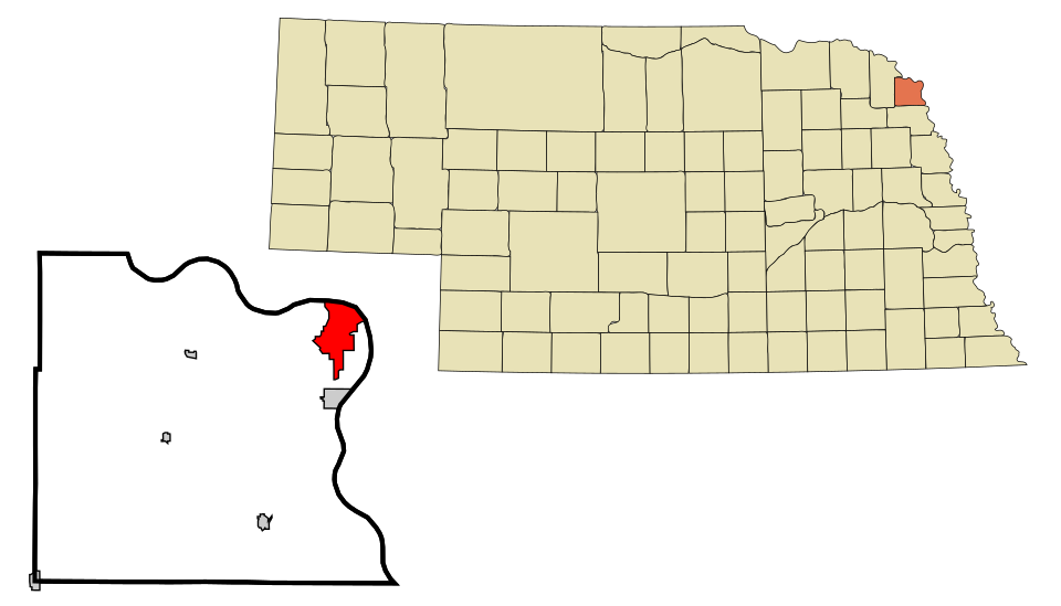
38 Map of South Sioux City South Sioux City13,907 people 73.7 / sq mi 16.5% 83.8 mi
39 Wayne Wayne6,121 people 72.4 / sq mi 11.3% 34.5 mi
40 Map of Gering Gering8,550 people 72.3 / sq mi 18.8% 63.8 mi
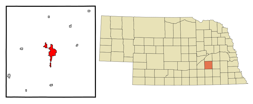
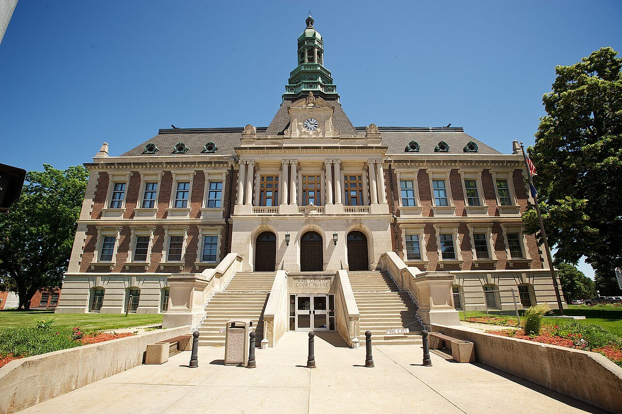
41 Map of Hastings Hastings25,008 people 71.4 / sq mi 10.1% 180.9 mi
42 Seward Seward7,678 people 69.8 / sq mi 12.3% 51.1 mi
43 Ogallala Ogallala4,777 people 68.7 / sq mi 10.2% 53.6 mi
44 Map of North Platte North Platte22,831 people 66.2 / sq mi 10.5% 185.3 mi
45 Blair Blair7,914 people 65.6 / sq mi 17.6% 60.8 mi
46 Map of Waverly Waverly4,440 people 64.1 / sq mi 22% 28.4 mi
47 Map of Gothenburg Gothenburg3,452 people 60.6 / sq mi 9.4% 35.0 mi
48 Norfolk Norfolk26,054 people 60.3 / sq mi 14.9% 188.2 mi
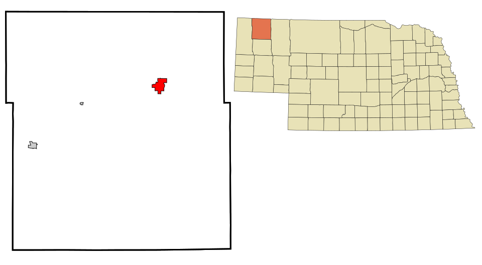
49 Map of Chadron Chadron5,160 people 58.3 / sq mi 11.4% 40.9 mi
50 Map of Valentine Valentine2,633 people 57.0 / sq mi 12.2% 29.7 mi
51 Sidney Sidney6,419 people 55.7 / sq mi 16.2% 70.3 mi
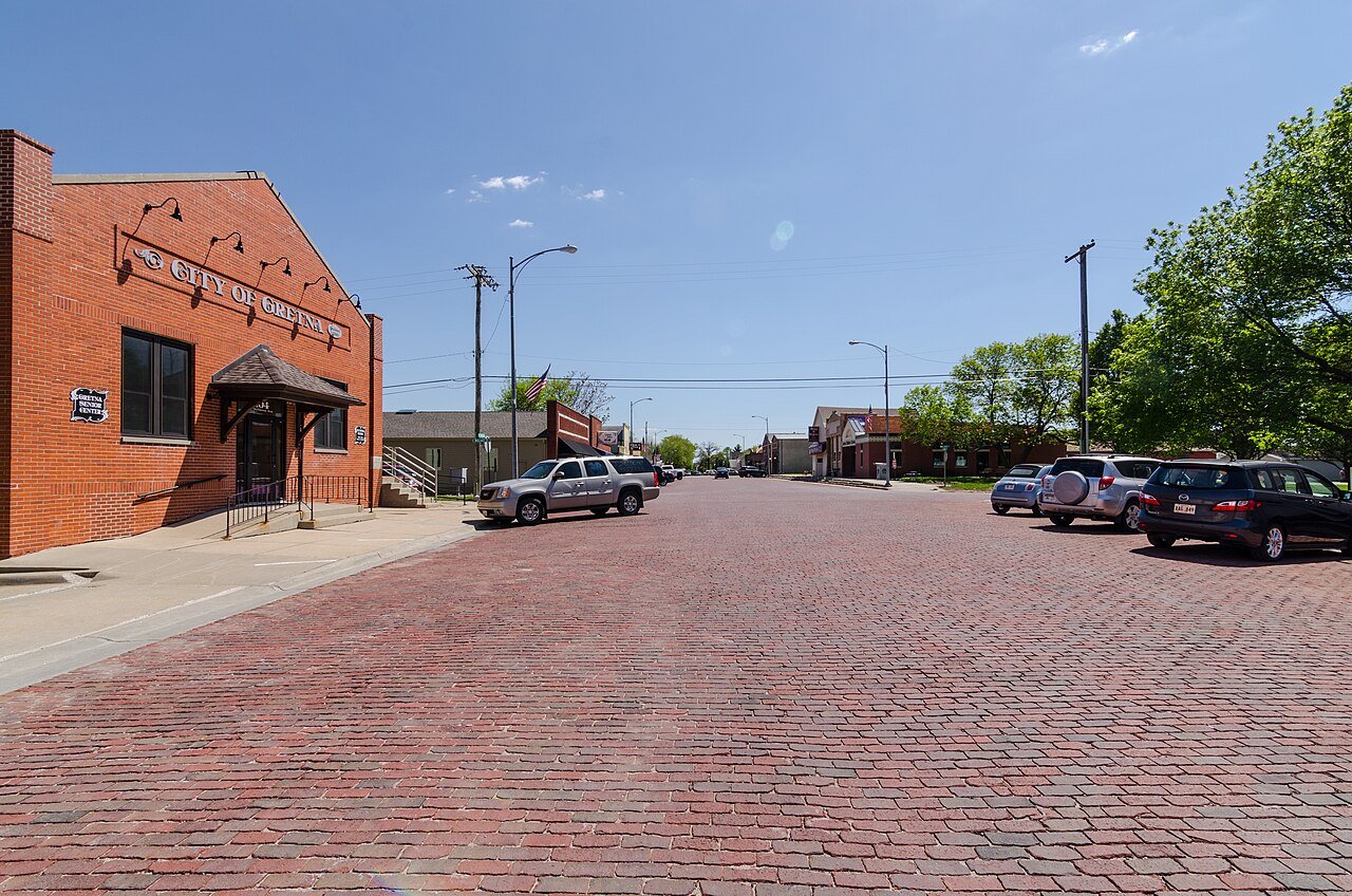
52 Gretna Gretna9,193 people 55.4 / sq mi 17.4% 72.2 mi
53 David City David City3,017 people 52.4 / sq mi 13.7% 60.2 mi
54 Map of Valley Valley3,174 people 26.6 / sq mi 21.6% 46.7 mi
55 Columbus ColumbusPlatte County · 3,313 people 3.9 / sq mi 26.7% 122.2 mi

How this ranking works

We rank every town by street connectivity: intersections per square mile, the standard walkability measure the EPA uses. More intersections mean shorter, more direct walks, while cul-de-sac layouts with long dead ends rank lower. Sidewalks are not mapped consistently enough to rank, so this measures the street grid itself. The town with the highest figure ranks #1.

Only towns with at least 2,500 residents are ranked; Census estimates for smaller places are too uncertain. Population and income: U.S. Census Bureau American Community Survey 5-year estimates. Trails, streets and parks: © OpenStreetMap contributors (ODbL). Conserved land: USGS PAD-US. Measured within each town's Census boundary. Town photos: Wikimedia Commons, credited on each town’s page.

Same ranking in other states