GAGeorgia rankings

Most walkable towns in Georgia

Ranked by street connectivity: intersections per square mile, the standard walkability measure the EPA uses. 21 towns with 2,500+ residents.
U.S. Census ACS 2020–2024 5-year

#TownIntersections per sq miDead endsStreet miles
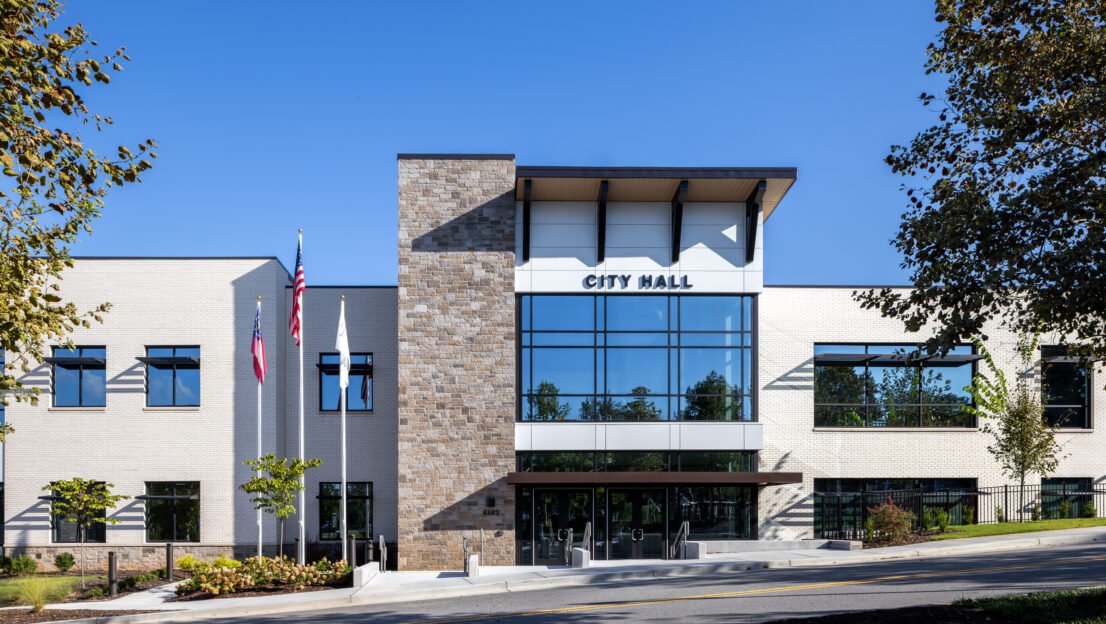
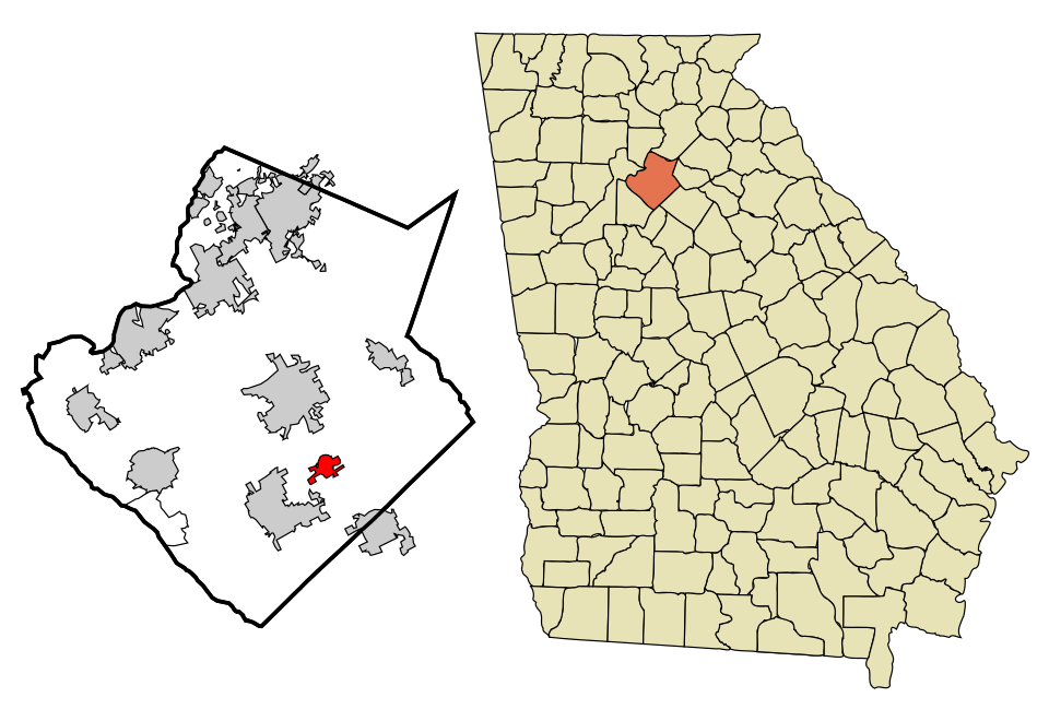
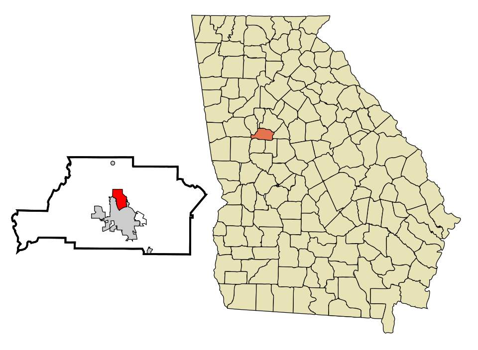
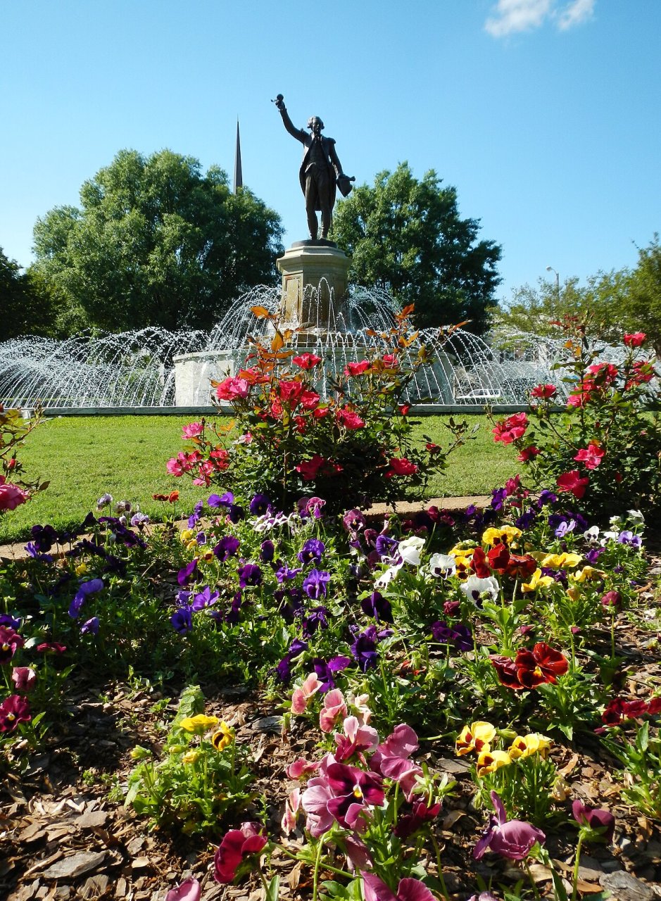
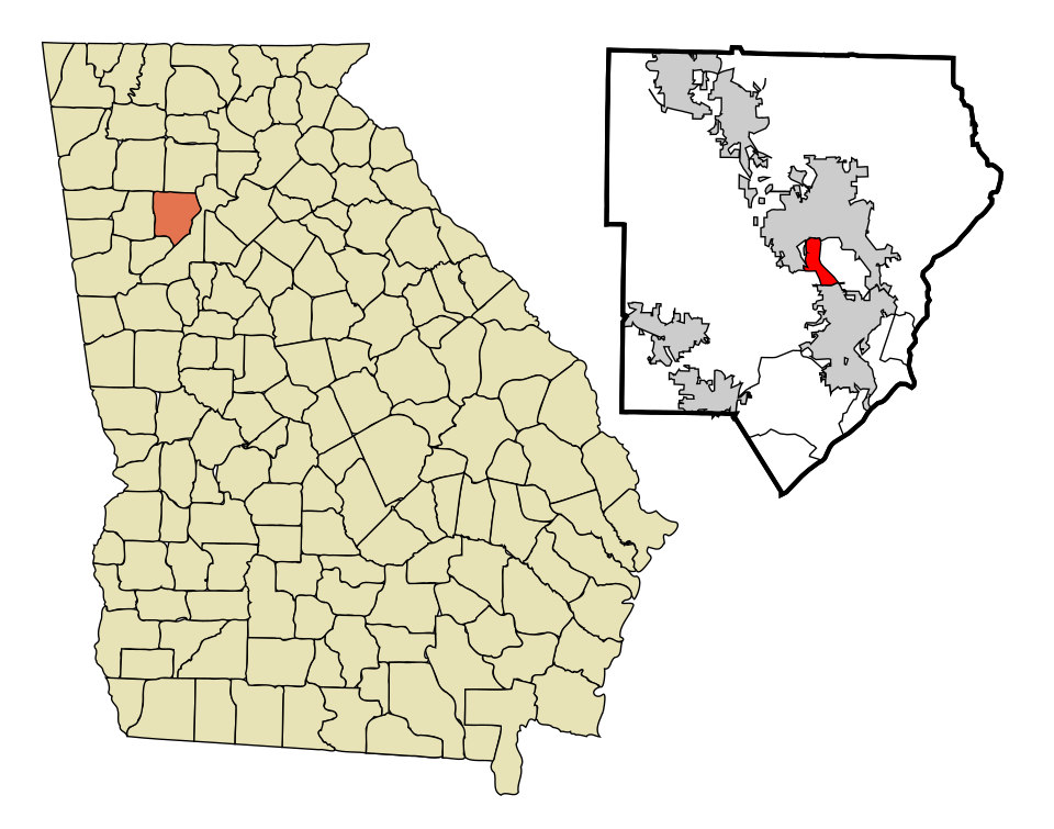
1 Map of Fair Oaks Fair Oaks9,014 people 123 / sq mi 24% 33.0 mi
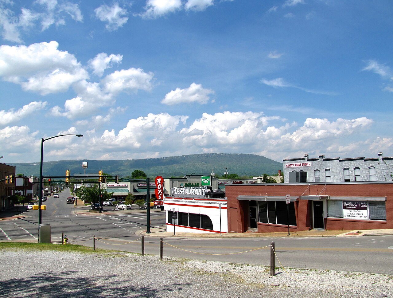
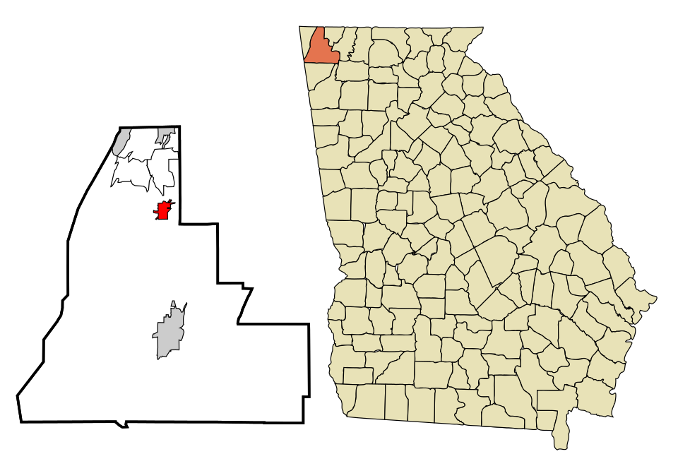
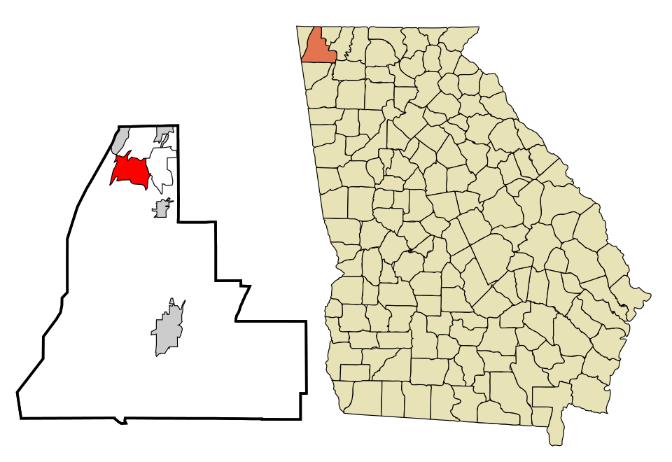
2 Rossville Rossville3,978 people 112 / sq mi 15.2% 30.0 mi
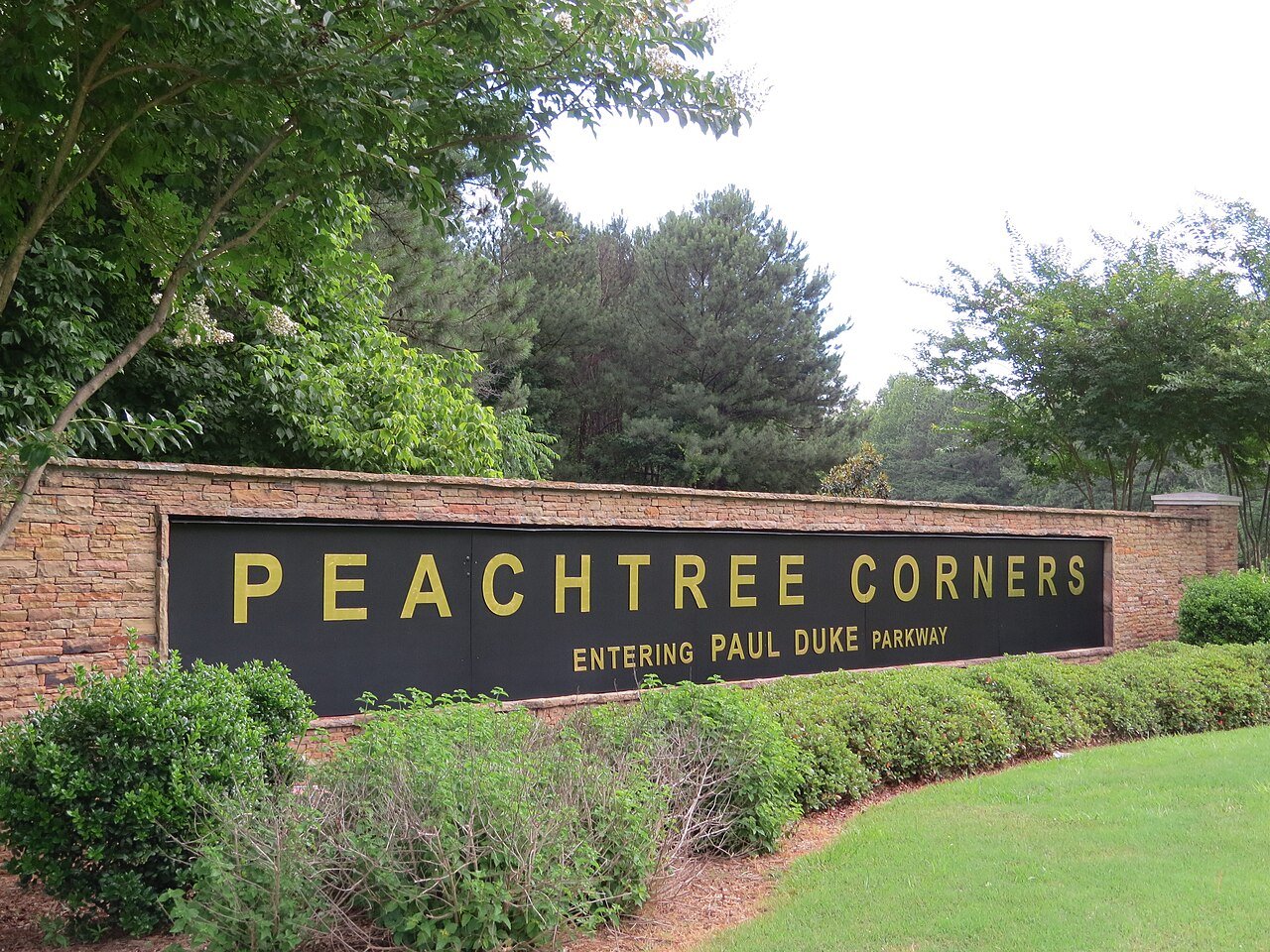
3 Peachtree Corners Peachtree Corners42,373 people 84.1 / sq mi 30.2% 199.8 mi
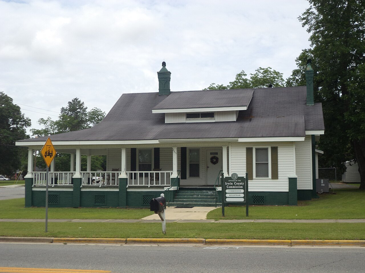
4 Ocilla Ocilla3,100 people 78.9 / sq mi 13% 44.8 mi
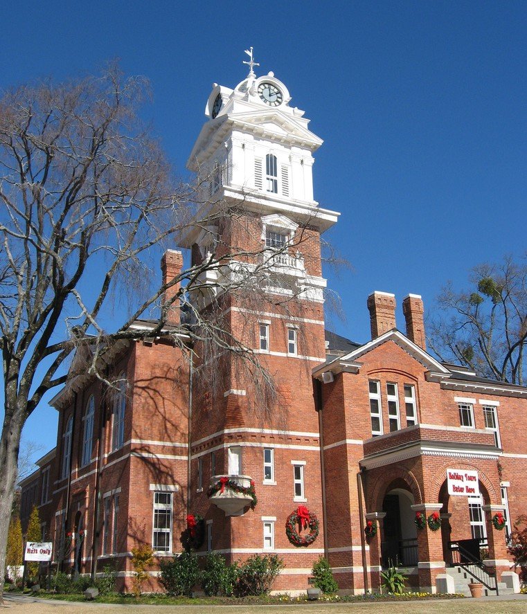
5 Lawrenceville Lawrenceville30,954 people 71.1 / sq mi 27.1% 160.2 mi
6 Powder Springs Powder Springs18,009 people 69.8 / sq mi 31.5% 102.3 mi
7 Map of Grayson Grayson4,858 people 63.2 / sq mi 31.6% 28.1 mi
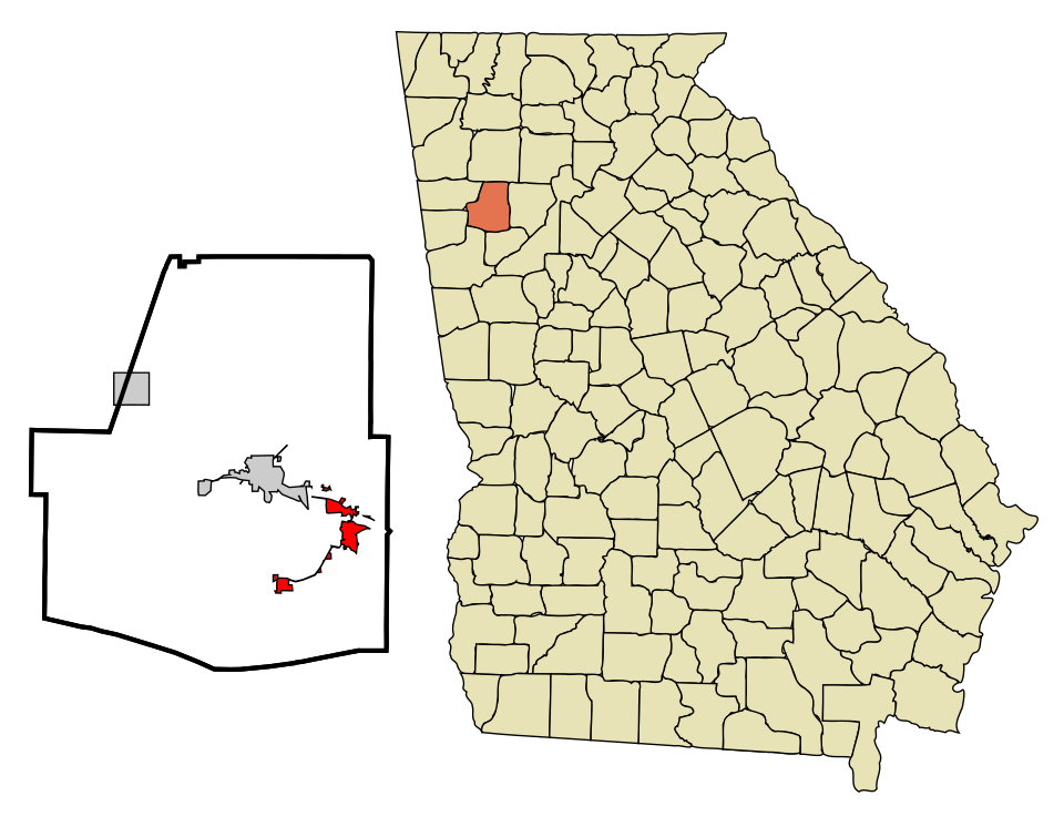
8 Map of Hiram Hiram5,231 people 56.6 / sq mi 21.8% 43.8 mi
9 Map of Chickamauga Chickamauga3,014 people 55.6 / sq mi 23.7% 27.8 mi
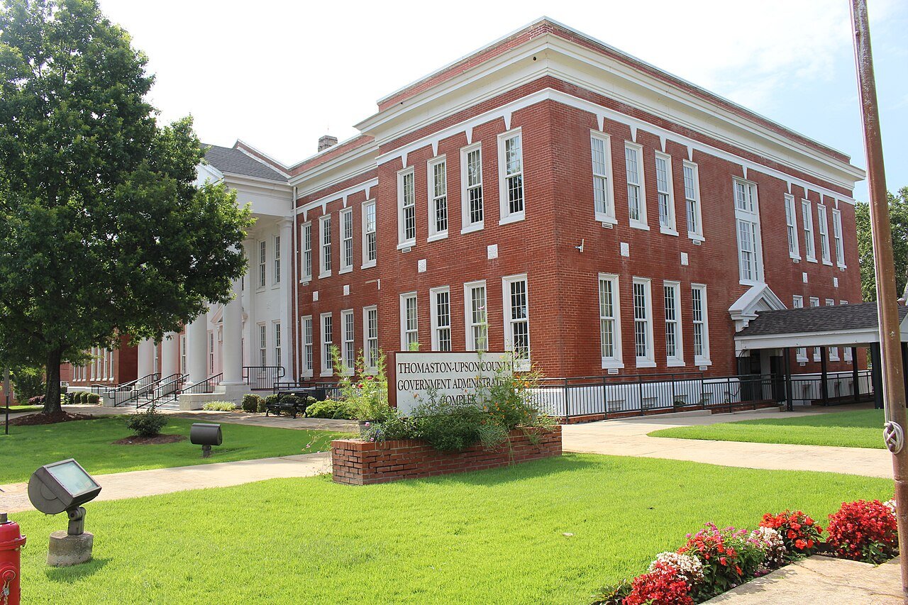
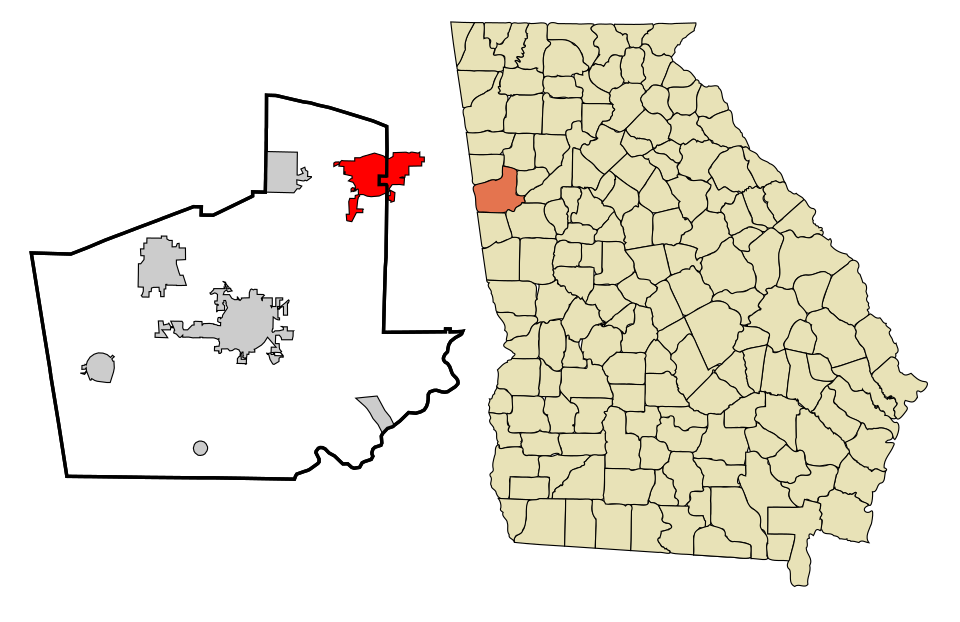
10 Thomaston Thomaston9,831 people 53.6 / sq mi 12.9% 84.1 mi
11 Map of Villa Rica Villa Rica18,551 people 48.0 / sq mi 31.6% 116.2 mi
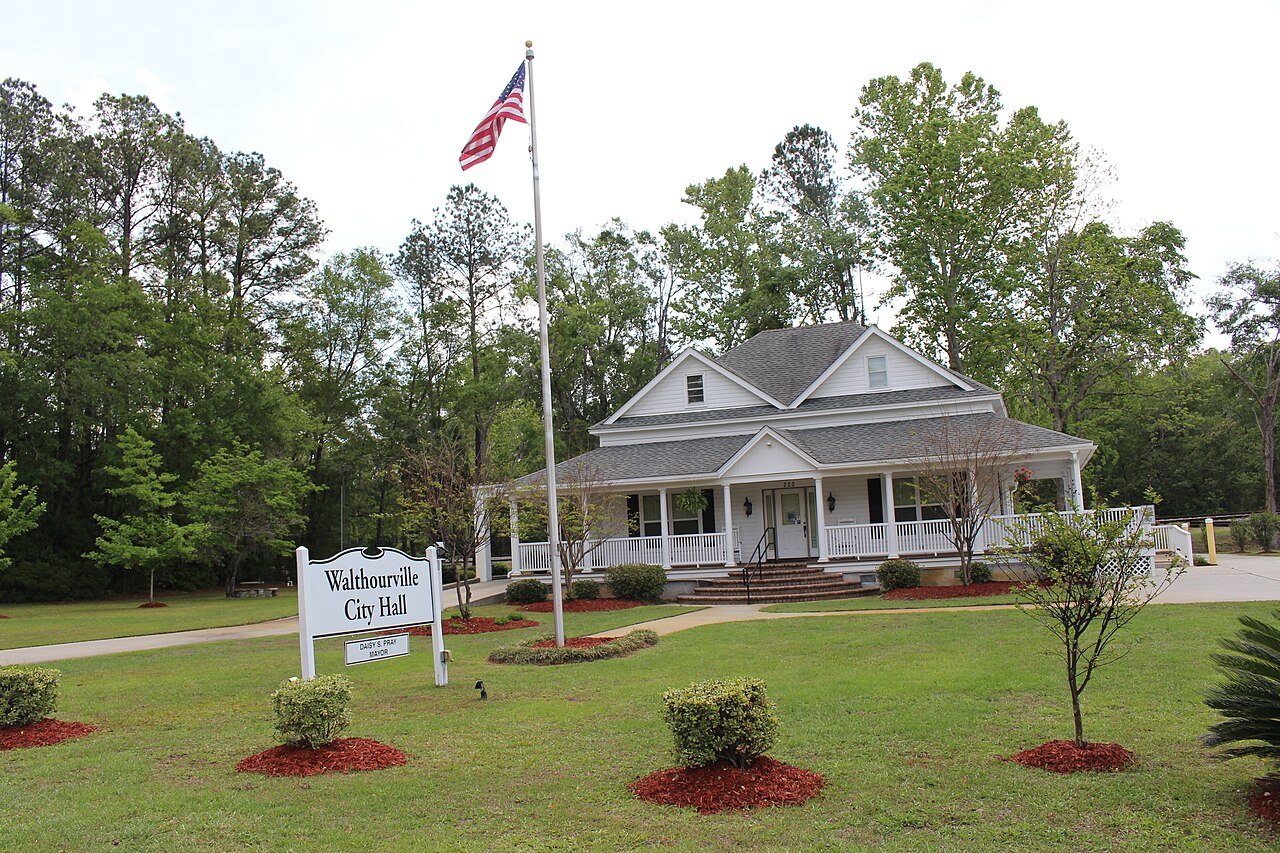
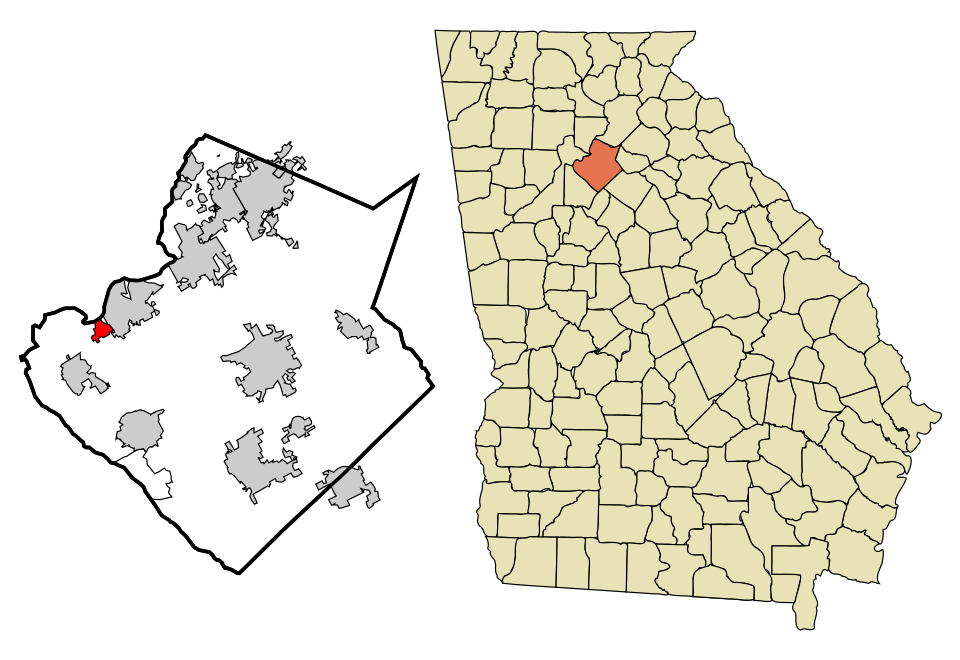
12 Walthourville Walthourville3,823 people 43.6 / sq mi 29.8% 33.8 mi
13 Map of Berkeley Lake Berkeley Lake2,597 people 42.9 / sq mi 27.5% 18.0 mi
14 South Fulton South Fulton110,471 people 36.6 / sq mi 28.3% 682.5 mi
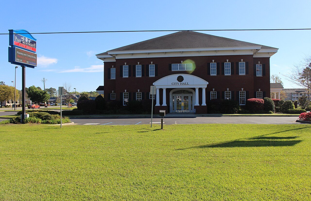
15 Port Wentworth Port Wentworth12,892 people 36.6 / sq mi 15.6% 99.2 mi
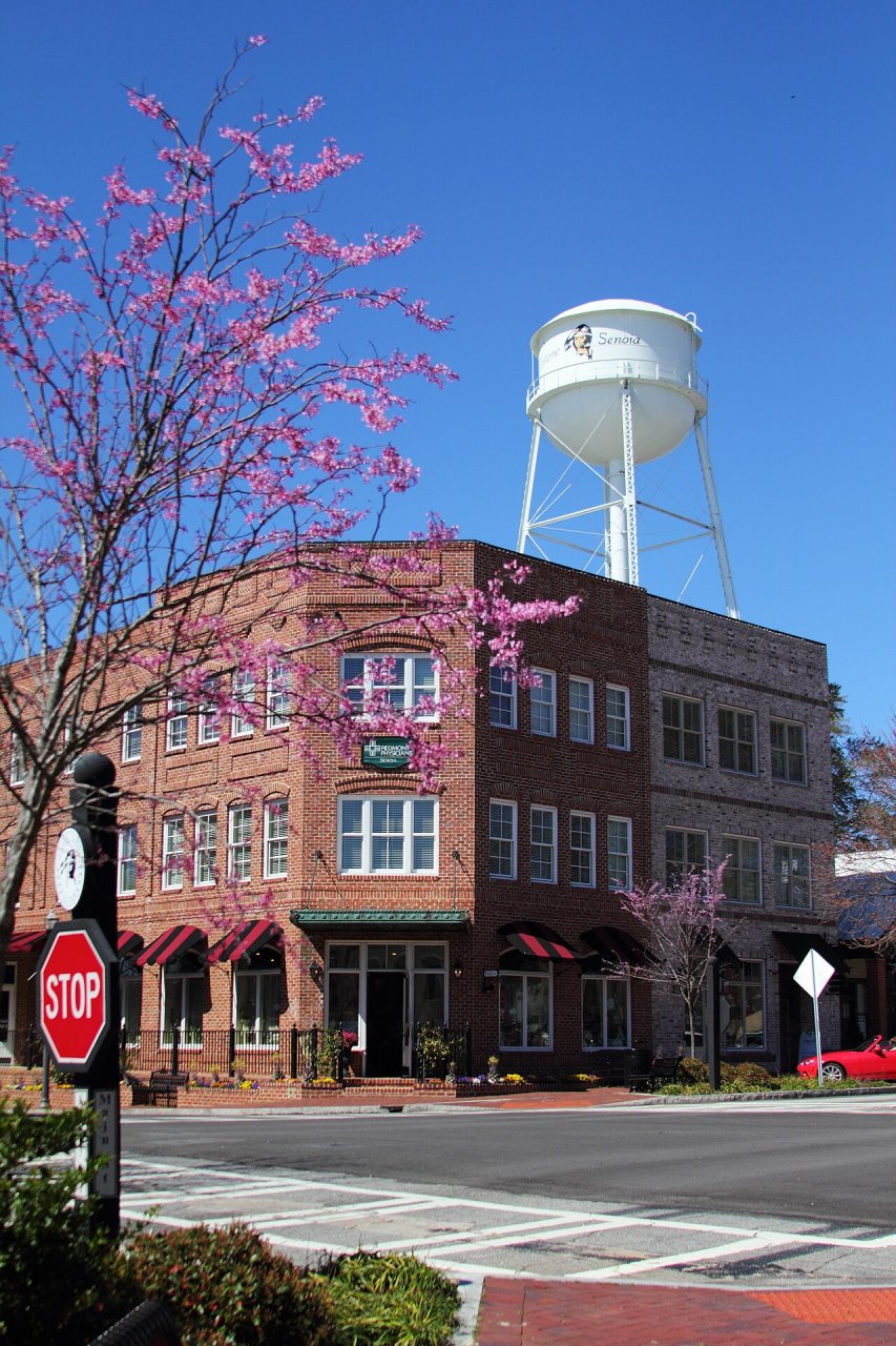
16 Senoia Senoia5,589 people 36.5 / sq mi 28.2% 47.2 mi
17 Map of Experiment Experiment3,387 people 32.7 / sq mi 20.5% 19.5 mi
18 LaGrange LaGrange32,078 people 30.6 / sq mi 19.4% 262.5 mi
19 Map of Chattanooga Valley Chattanooga Valley4,601 people 26.9 / sq mi 27.4% 45.8 mi
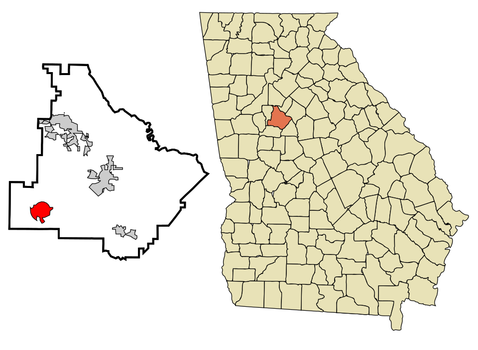
20 Map of Hampton Hampton8,687 people 25.3 / sq mi 30.2% 70.5 mi
21 West Point West Point3,403 people 24.5 / sq mi 12.6% 59.6 mi

How this ranking works

We rank every town by street connectivity: intersections per square mile, the standard walkability measure the EPA uses. More intersections mean shorter, more direct walks, while cul-de-sac layouts with long dead ends rank lower. Sidewalks are not mapped consistently enough to rank, so this measures the street grid itself. The town with the highest figure ranks #1.

Only towns with at least 2,500 residents are ranked; Census estimates for smaller places are too uncertain. Population and income: U.S. Census Bureau American Community Survey 5-year estimates. Trails, streets and parks: © OpenStreetMap contributors (ODbL). Conserved land: USGS PAD-US. Measured within each town's Census boundary. Town photos: Wikimedia Commons, credited on each town’s page.

Same ranking in other states