MTMontana rankings

Most walkable towns in Montana

Ranked by street connectivity: intersections per square mile, the standard walkability measure the EPA uses. 36 towns with 2,500+ residents.
U.S. Census ACS 2020–2024 5-year

#TownIntersections per sq miDead endsStreet miles
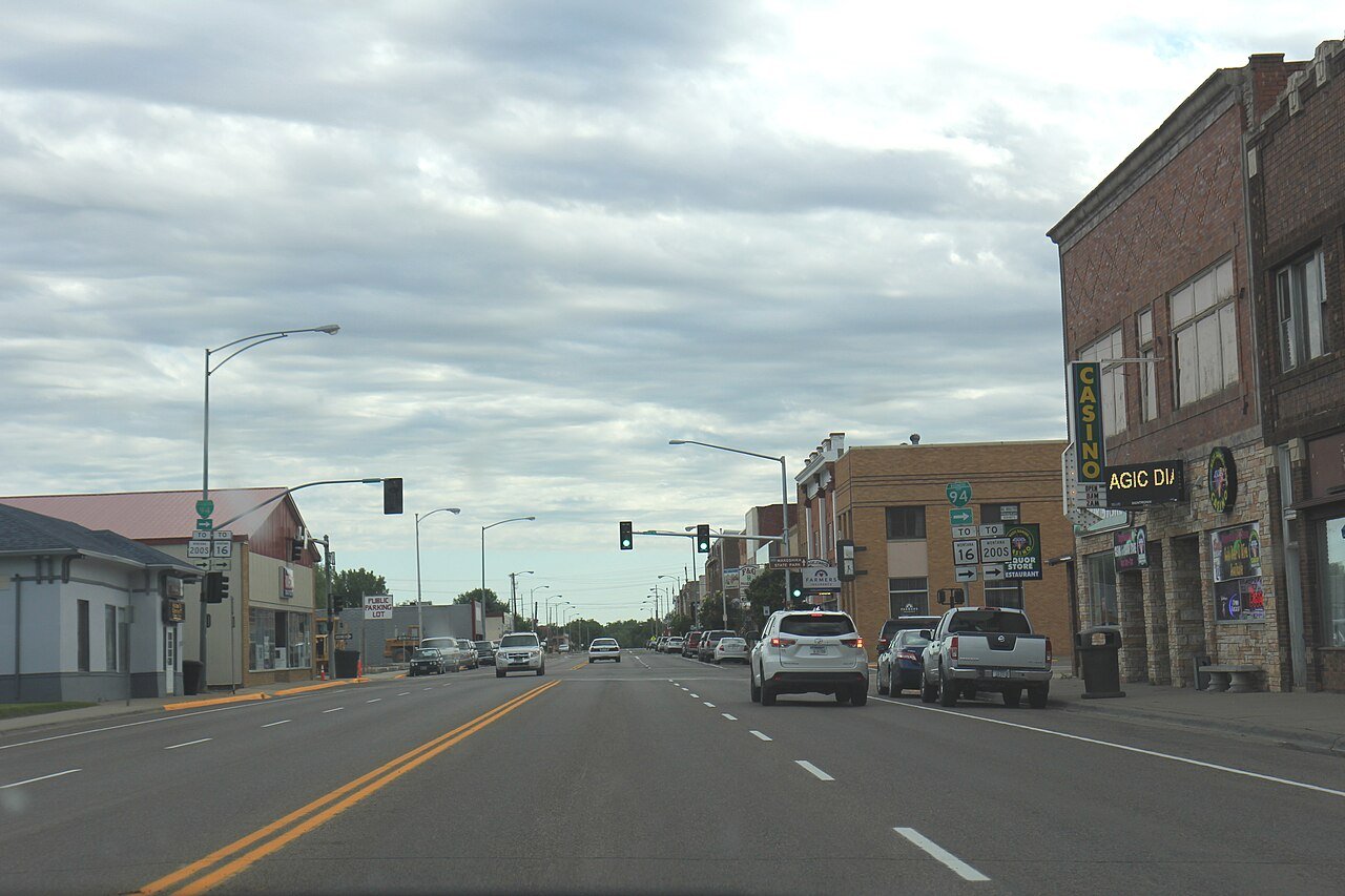
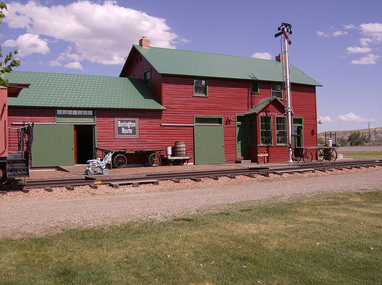
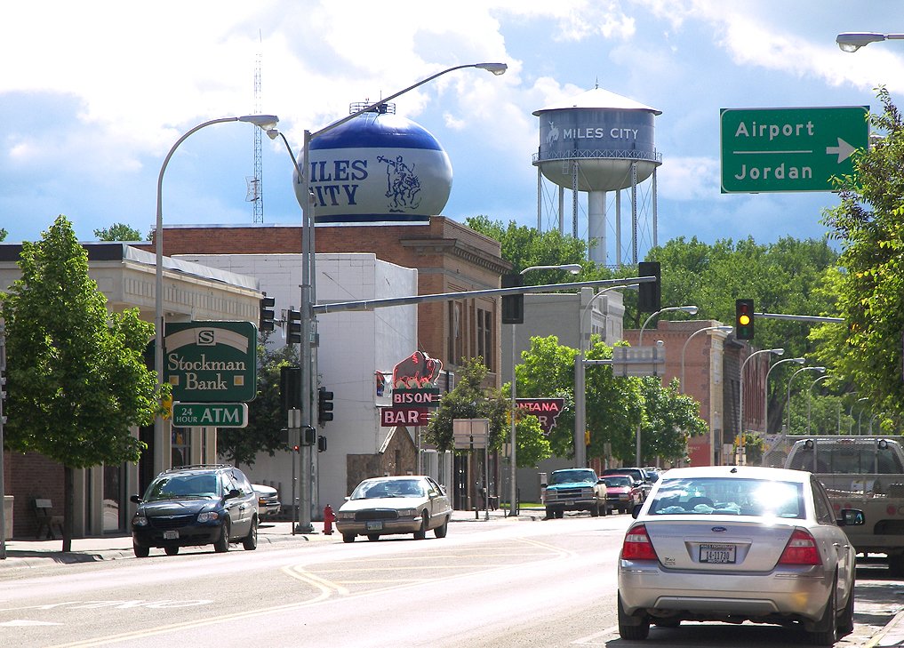
1 Miles City Miles City8,407 people 170 / sq mi 8.7% 71.1 mi
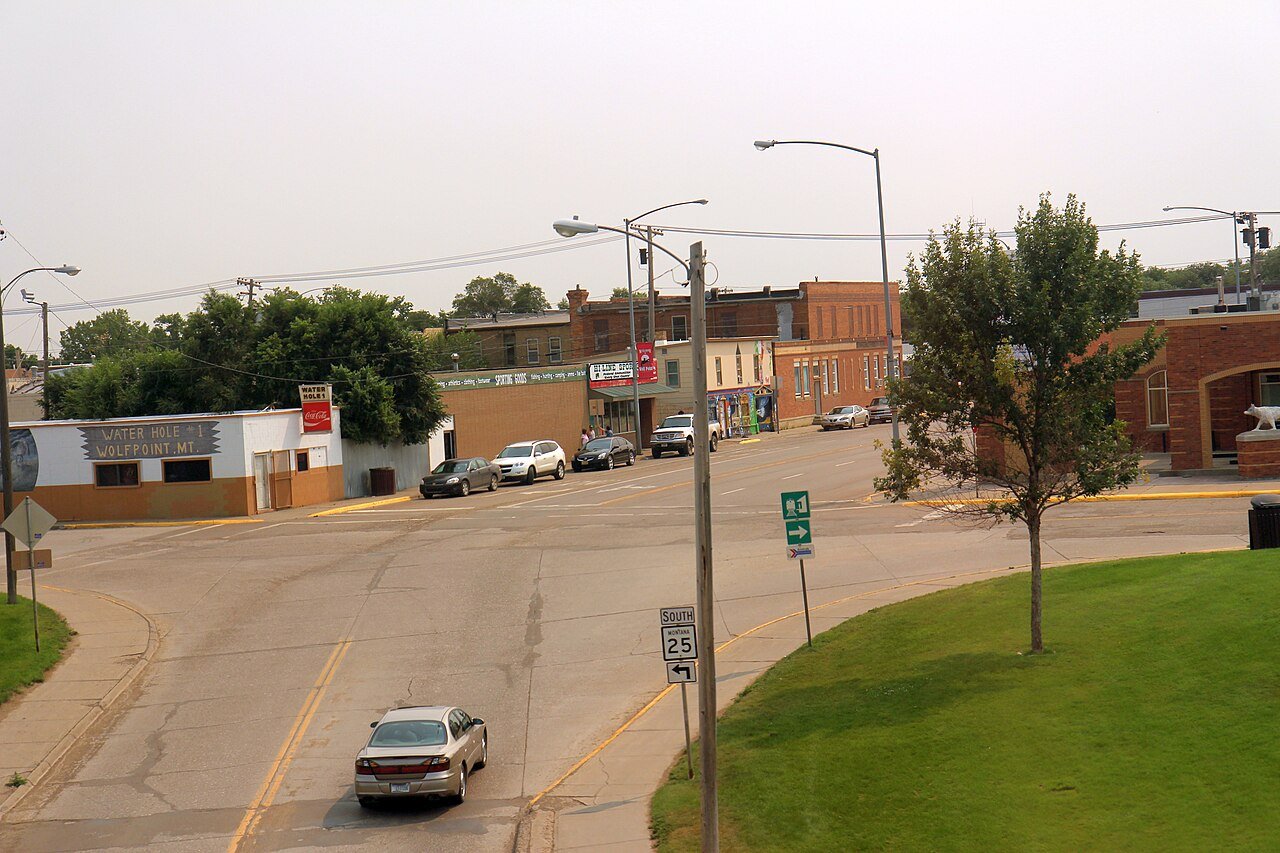
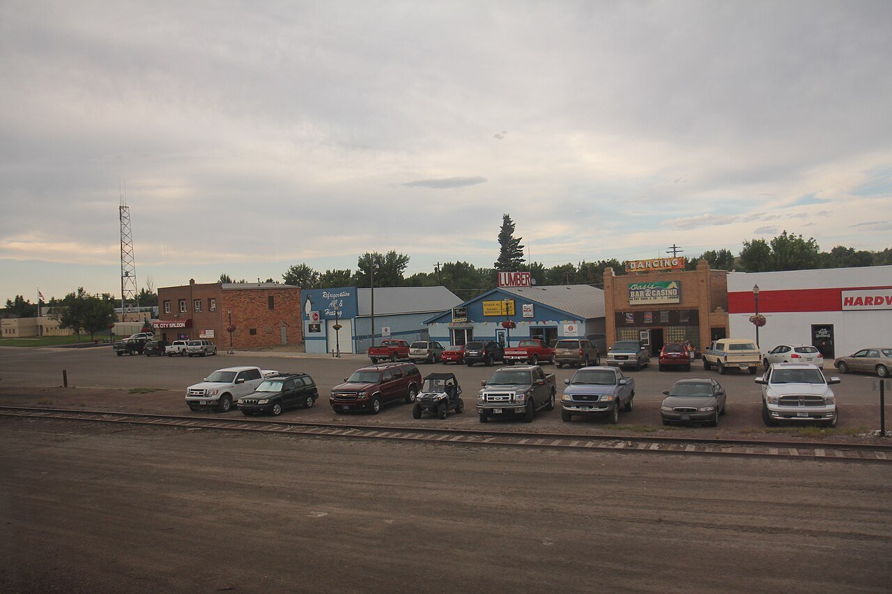
2 Wolf Point Wolf Point2,602 people 152 / sq mi 8.9% 20.0 mi
3 Dillon Dillon4,085 people 139 / sq mi 12.7% 33.1 mi
4 Glasgow Glasgow3,190 people 139 / sq mi 16.4% 26.6 mi
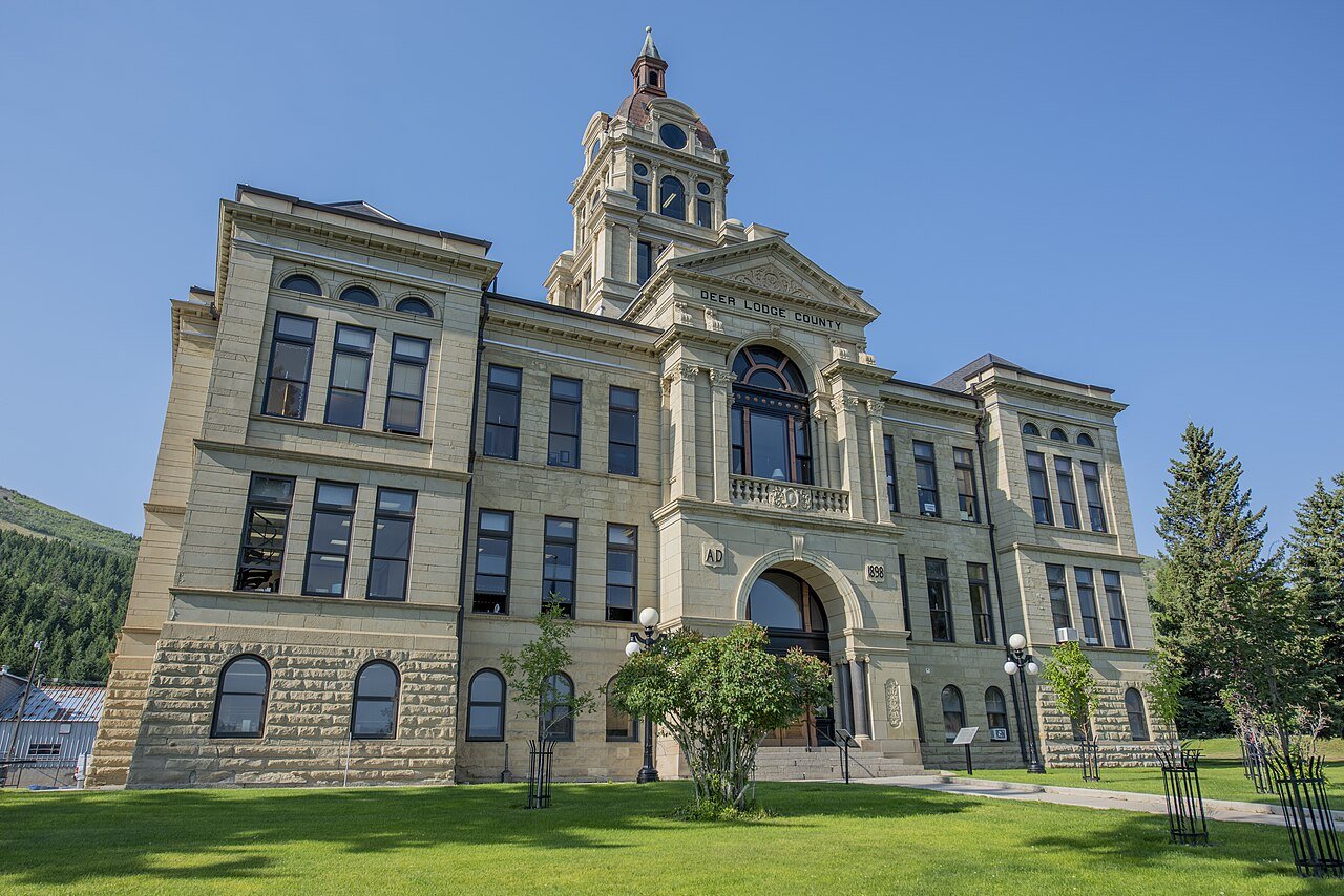
5 Deer Lodge Deer Lodge3,021 people 130 / sq mi 18.1% 29.2 mi
6 Columbia Falls Columbia Falls5,615 people 128 / sq mi 9.7% 39.5 mi
7 Laurel Laurel7,215 people 123 / sq mi 10.9% 45.6 mi
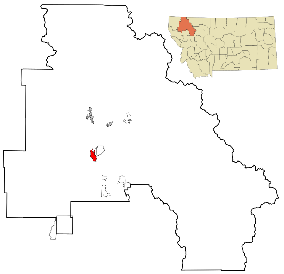
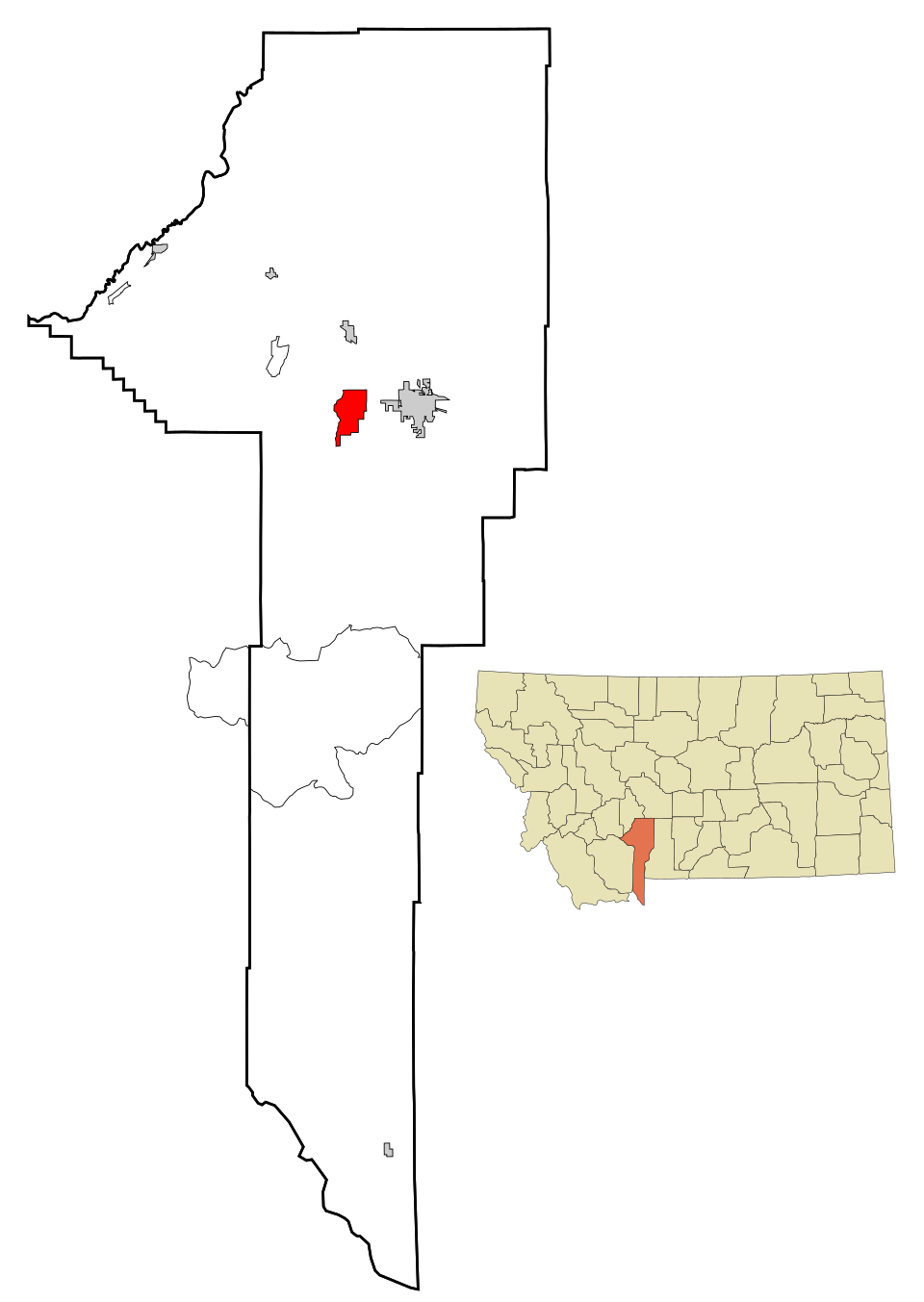
8 Map of Cut Bank Cut Bank3,028 people 122 / sq mi 6% 24.4 mi
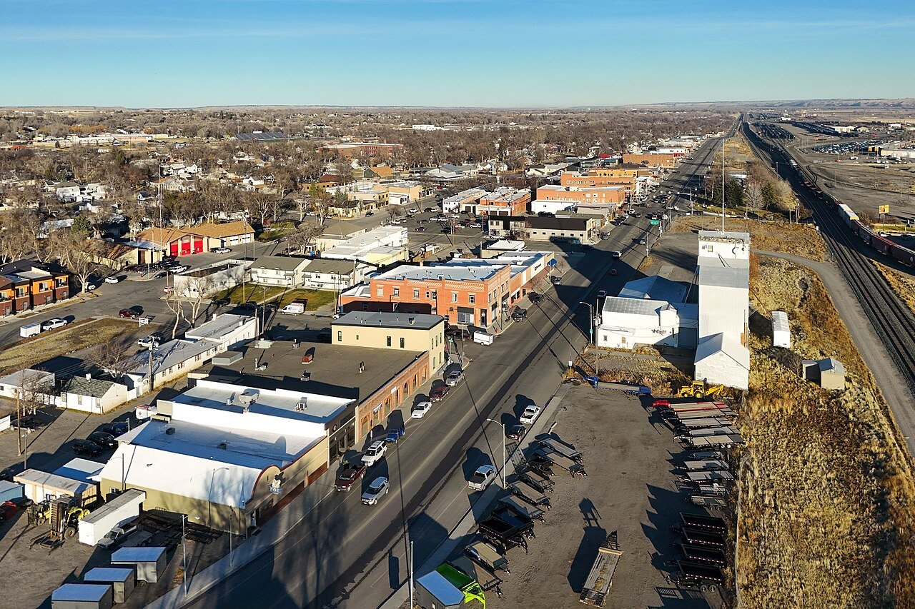
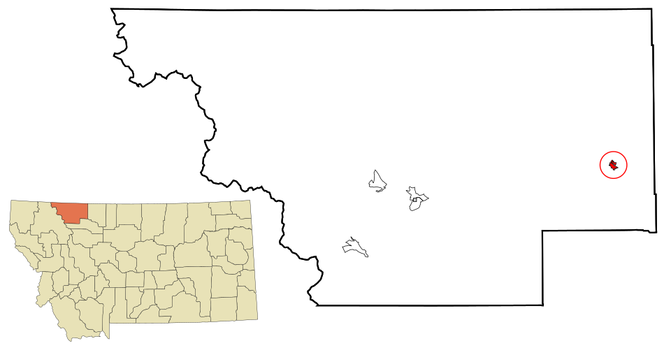
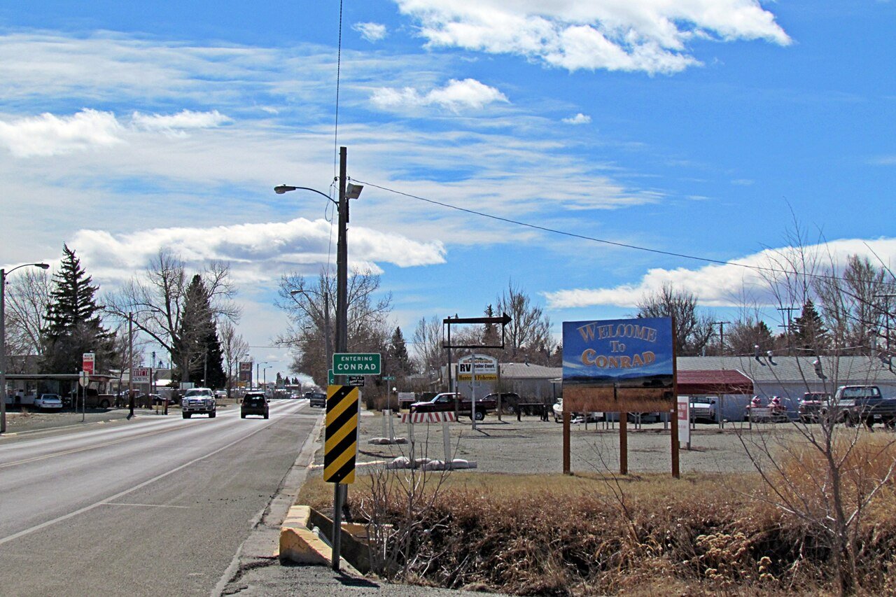
9 Conrad Conrad2,618 people 115 / sq mi 11% 24.6 mi
10 Libby Libby3,042 people 110 / sq mi 13.9% 29.1 mi
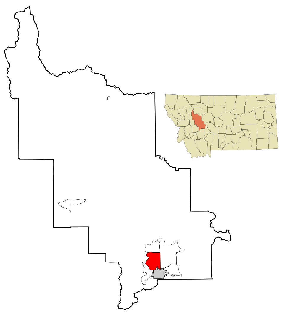
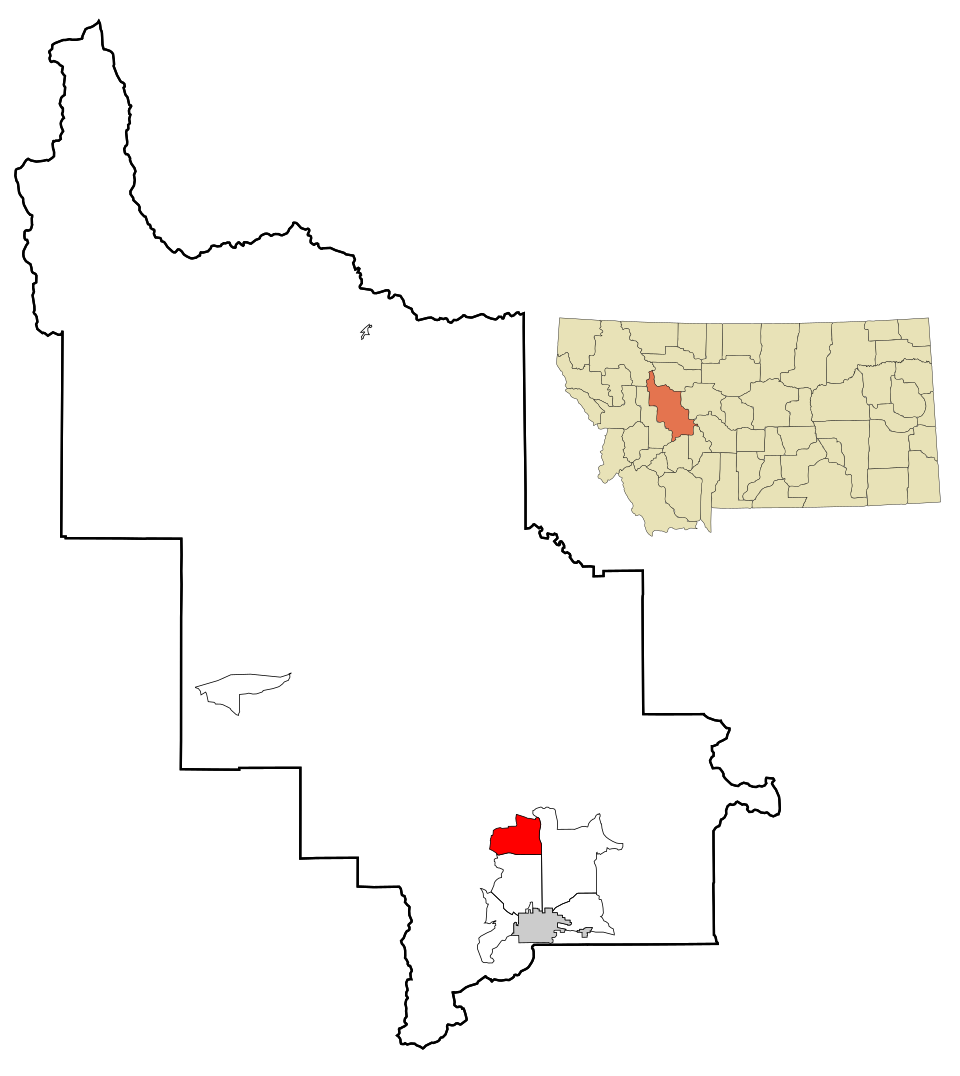
11 Map of Havre Havre9,258 people 106 / sq mi 15.4% 57.4 mi
12 Bozeman Bozeman56,114 people 98.0 / sq mi 12.1% 303.2 mi
13 Helena Helena33,639 people 95.5 / sq mi 14.3% 236.9 mi
14 Hamilton Hamilton5,101 people 94.1 / sq mi 17.7% 36.8 mi
15 Billings Billings119,434 people 93.5 / sq mi 17.5% 660.6 mi
16 Great Falls Great Falls60,329 people 88.3 / sq mi 10.2% 346.1 mi
17 Red Lodge Red Lodge2,502 people 86.9 / sq mi 15.8% 33.3 mi
18 Belgrade11,872 people 84.9 / sq mi 10.4% 80.5 mi
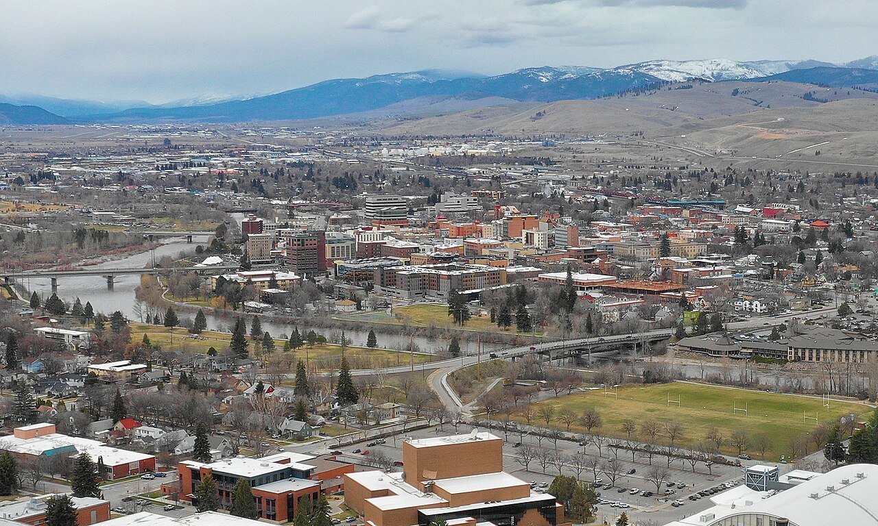
19 Missoula Missoula76,514 people 77.3 / sq mi 18.5% 386.9 mi
20 Lewistown Lewistown6,087 people 77.3 / sq mi 12% 58.3 mi
21 Map of Kalispell Kalispell28,504 people 76.9 / sq mi 13.5% 167.8 mi
22 Glendive Glendive4,810 people 71.5 / sq mi 14.8% 38.9 mi
23 Hardin Hardin3,742 people 65.9 / sq mi 11.7% 29.9 mi
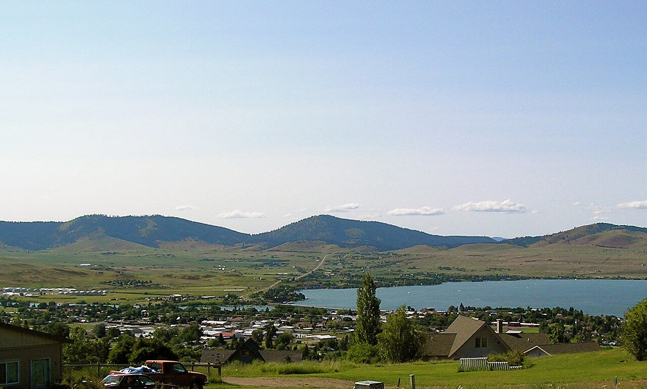
24 Polson Polson5,428 people 60.1 / sq mi 22% 54.6 mi
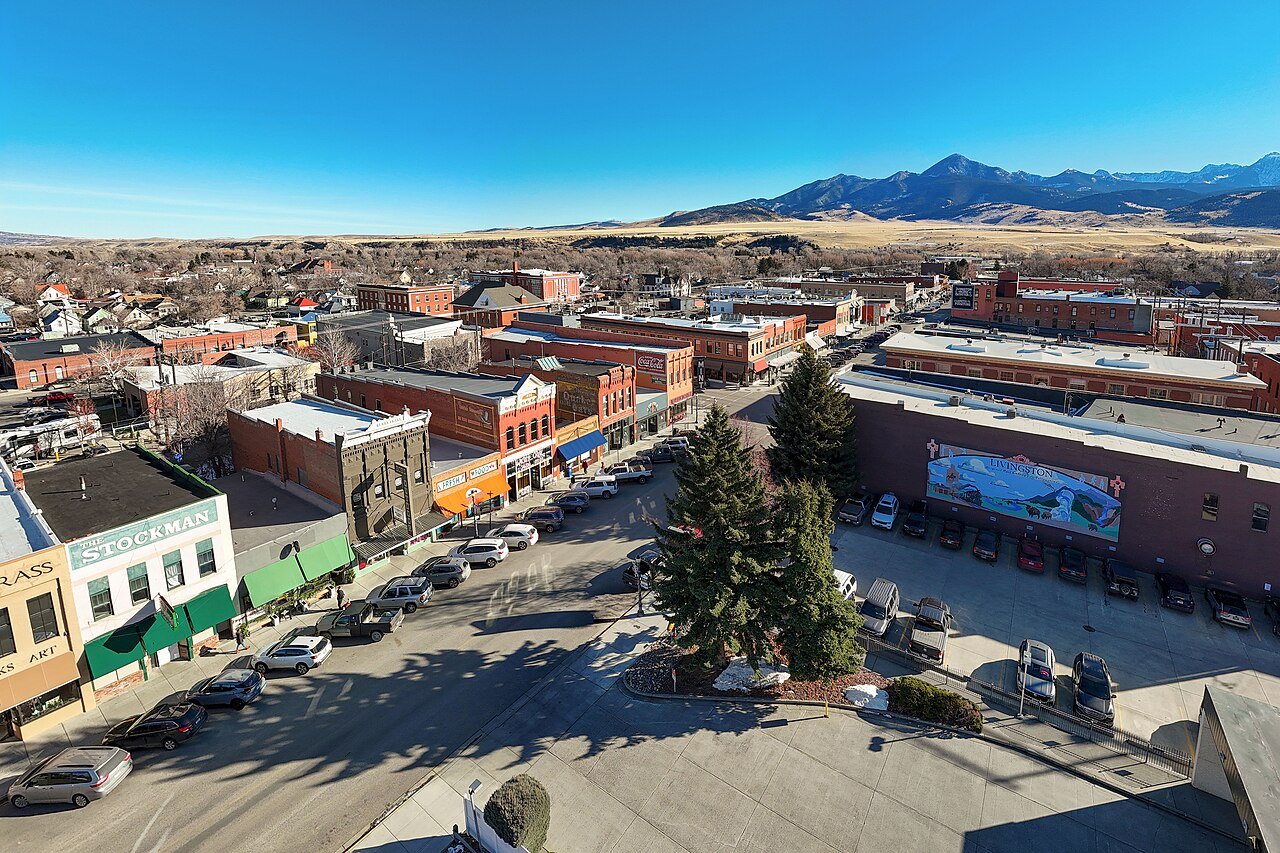
25 Livingston Livingston8,780 people 59.9 / sq mi 17.9% 60.8 mi
26 Shelby Shelby3,216 people 43.5 / sq mi 11.1% 53.1 mi
27 Map of Four Corners Four Corners5,791 people 29.3 / sq mi 22.1% 75.0 mi
28 Malmstrom AFB Malmstrom AFB4,302 people 29.0 / sq mi 14% 33.8 mi
29 Lockwood Lockwood7,181 people 20.7 / sq mi 28.1% 64.7 mi
30 Map of Helena Valley West Central Helena Valley West Central8,056 people 14.4 / sq mi 30.5% 103.8 mi
31 Map of Helena Valley Northwest Helena Valley Northwest5,183 people 13.5 / sq mi 25.5% 65.4 mi
32 Bigfork Bigfork5,565 people 11.3 / sq mi 39.3% 132.2 mi
33 Map of Montana City Montana City3,092 people 7.4 / sq mi 42.3% 87.1 mi
34 Map of Helena Valley Northeast Helena Valley Northeast4,659 people 3.4 / sq mi 29% 115.0 mi
35 Butte-Silver Bow Butte-Silver Bow35,785 people 3.1 / sq mi 19.2% 732.1 mi
36 Anaconda-Deer Lodge County Anaconda-Deer Lodge County9,597 people 0.8 / sq mi 22.7% 460.6 mi

How this ranking works

We rank every town by street connectivity: intersections per square mile, the standard walkability measure the EPA uses. More intersections mean shorter, more direct walks, while cul-de-sac layouts with long dead ends rank lower. Sidewalks are not mapped consistently enough to rank, so this measures the street grid itself. The town with the highest figure ranks #1.

Only towns with at least 2,500 residents are ranked; Census estimates for smaller places are too uncertain. Population and income: U.S. Census Bureau American Community Survey 5-year estimates. Trails, streets and parks: © OpenStreetMap contributors (ODbL). Conserved land: USGS PAD-US. Measured within each town's Census boundary. Town photos: Wikimedia Commons, credited on each town’s page.

Same ranking in other states