WAWashington rankings

Most walkable towns in Washington

Ranked by street connectivity: intersections per square mile, the standard walkability measure the EPA uses. 31 towns with 2,500+ residents.
U.S. Census ACS 2020–2024 5-year

#TownIntersections per sq miDead endsStreet miles
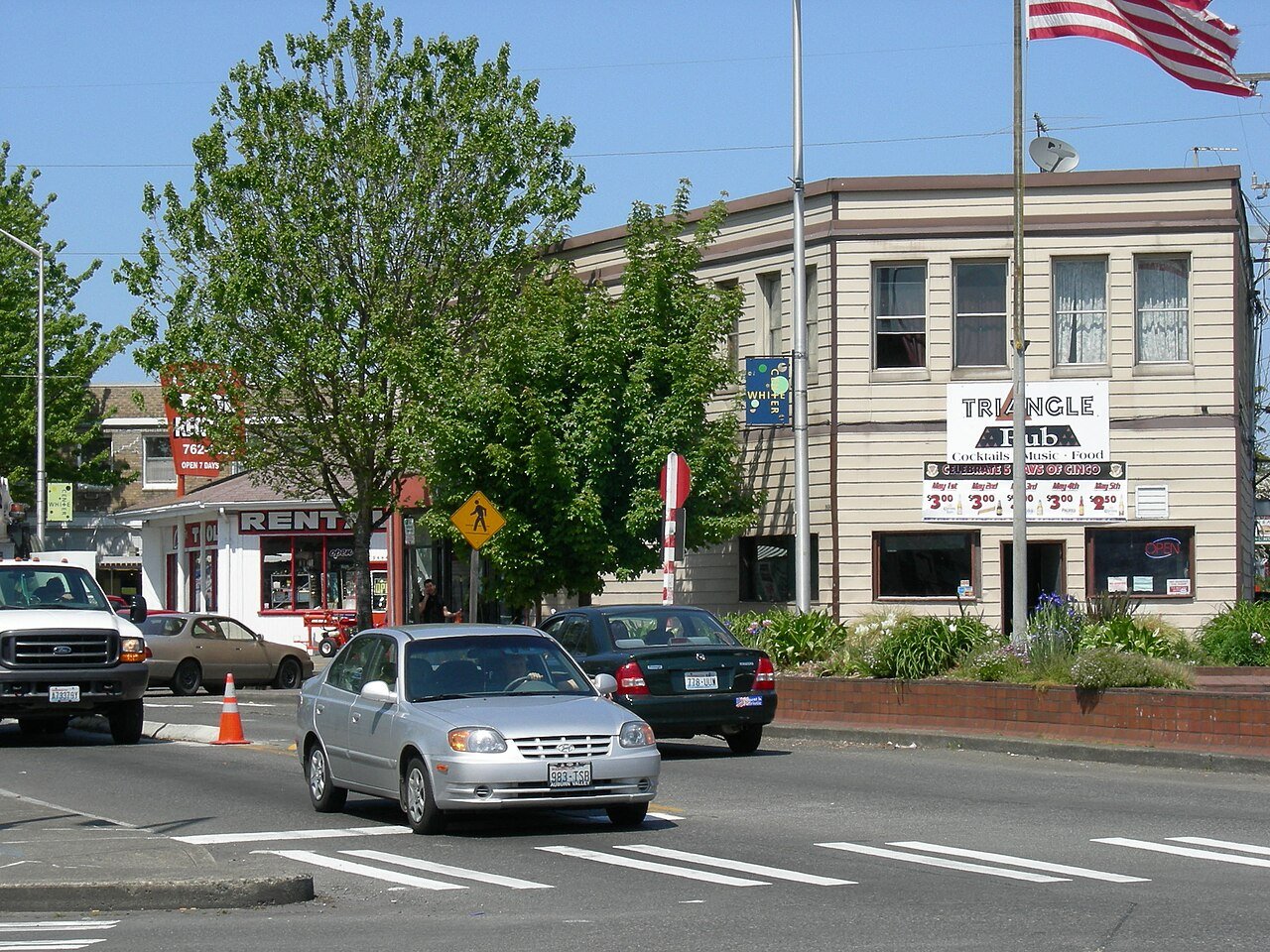
1 White Center White Center14,886 people 167 / sq mi 16.6% 48.5 mi
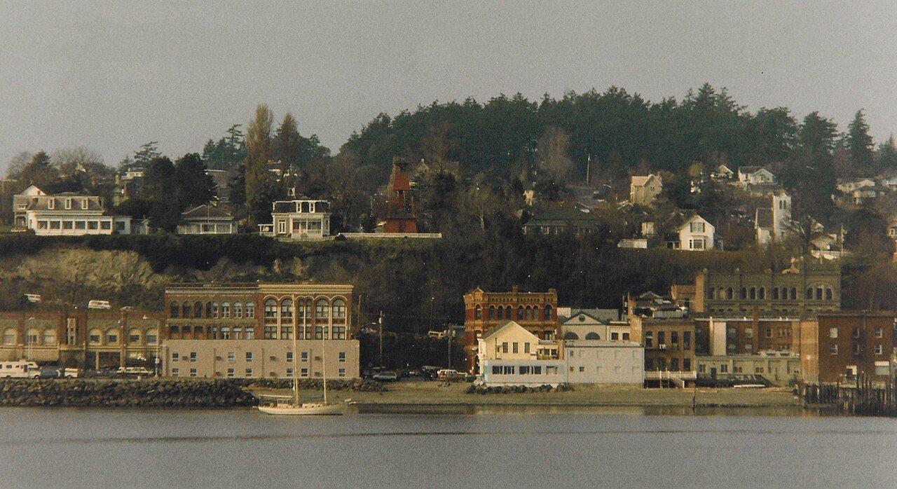
2 Port Townsend Port Townsend10,438 people 119 / sq mi 25.5% 102.8 mi
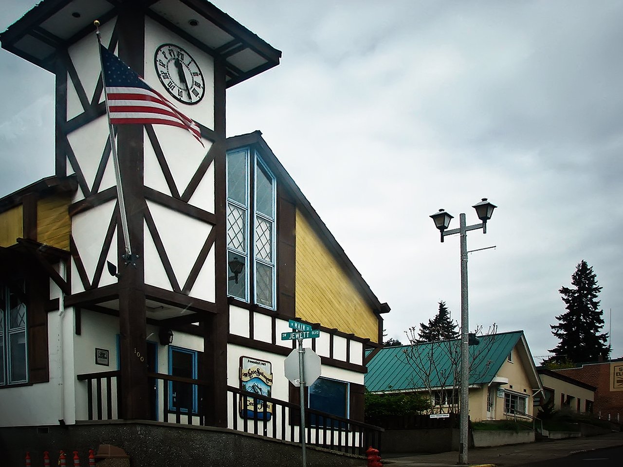
3 White Salmon White Salmon2,548 people 100 / sq mi 22.4% 22.0 mi
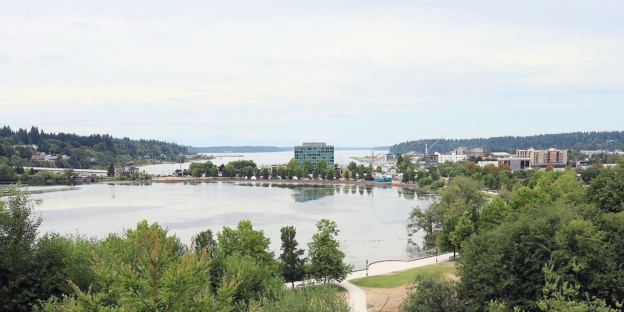
4 Olympia Olympia55,951 people 99.3 / sq mi 22.1% 249.5 mi
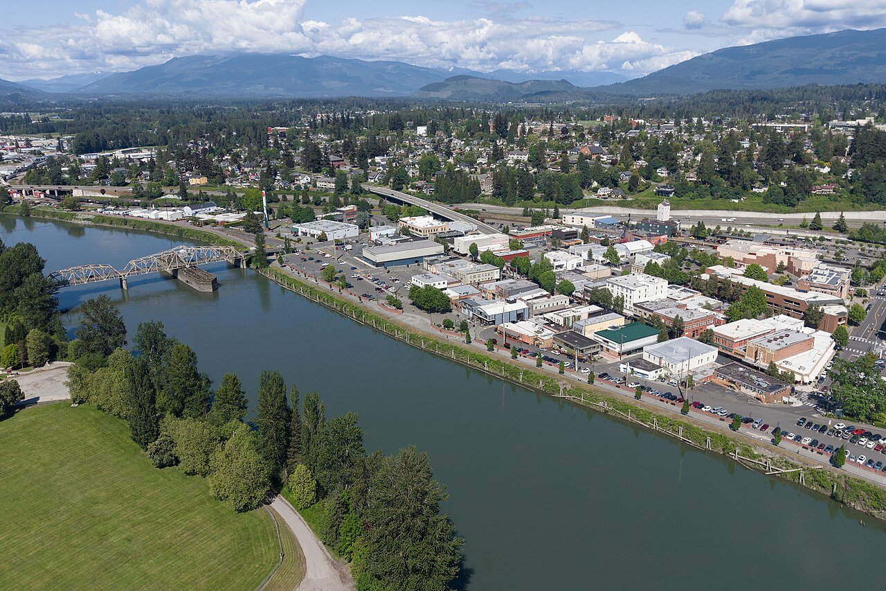
5 Sedro-Woolley Sedro-Woolley12,831 people 95.7 / sq mi 24.7% 57.7 mi
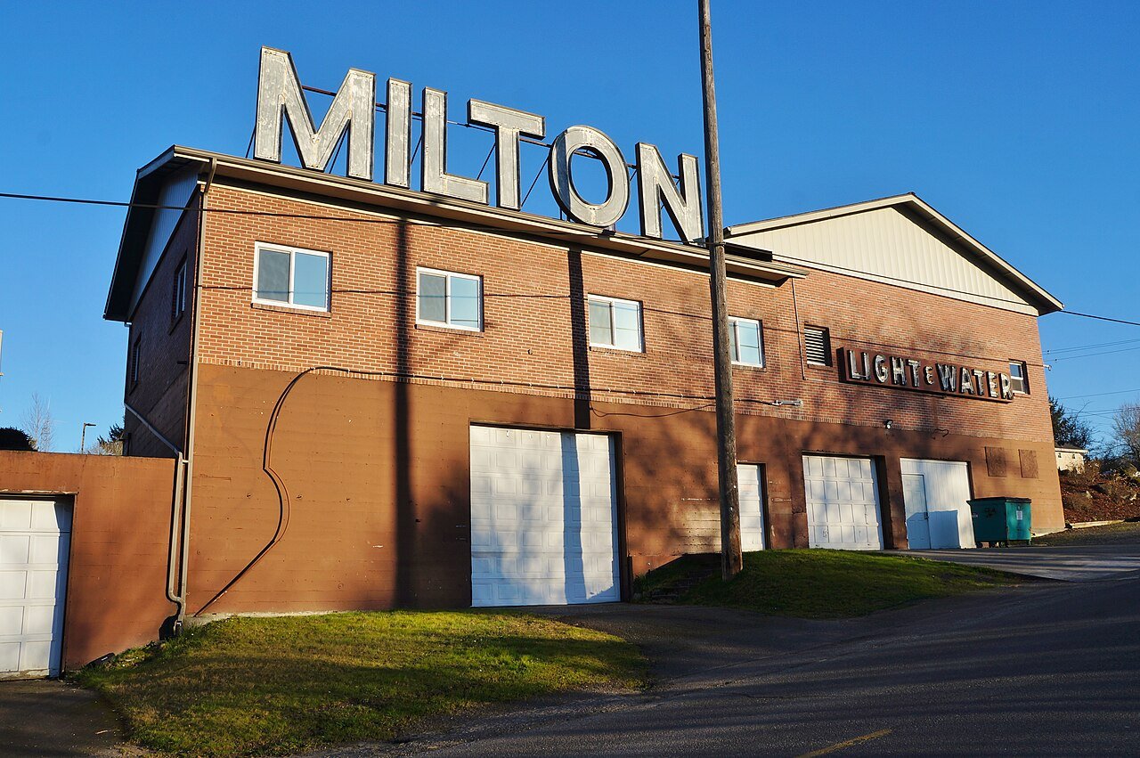
6 Milton Milton8,894 people 85.5 / sq mi 30.7% 37.6 mi
7 Sammamish Sammamish66,463 people 84.7 / sq mi 28.8% 263.6 mi
8 Mount Vernon Mount Vernon35,377 people 83.2 / sq mi 24.7% 145.8 mi
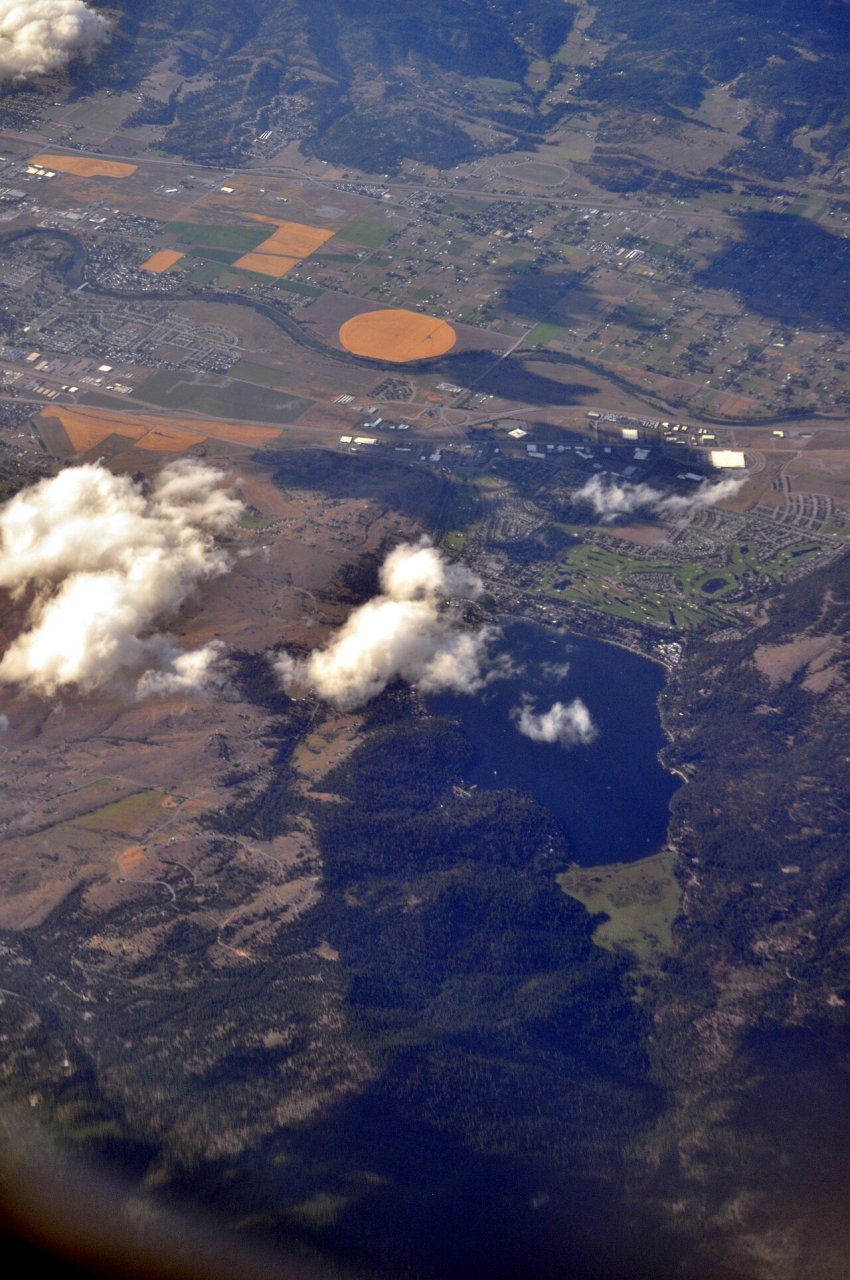
9 Liberty Lake Liberty Lake12,737 people 80.3 / sq mi 20.6% 68.6 mi
10 Mattawa Mattawa3,616 people 79.7 / sq mi 12.5% 13.0 mi
11 Sultan Sultan6,116 people 68.5 / sq mi 31.6% 32.3 mi
12 Navy Yard City Navy Yard City2,672 people 67.4 / sq mi 32.4% 11.0 mi
13 Medical Lake4,950 people 65.7 / sq mi 13.4% 36.8 mi
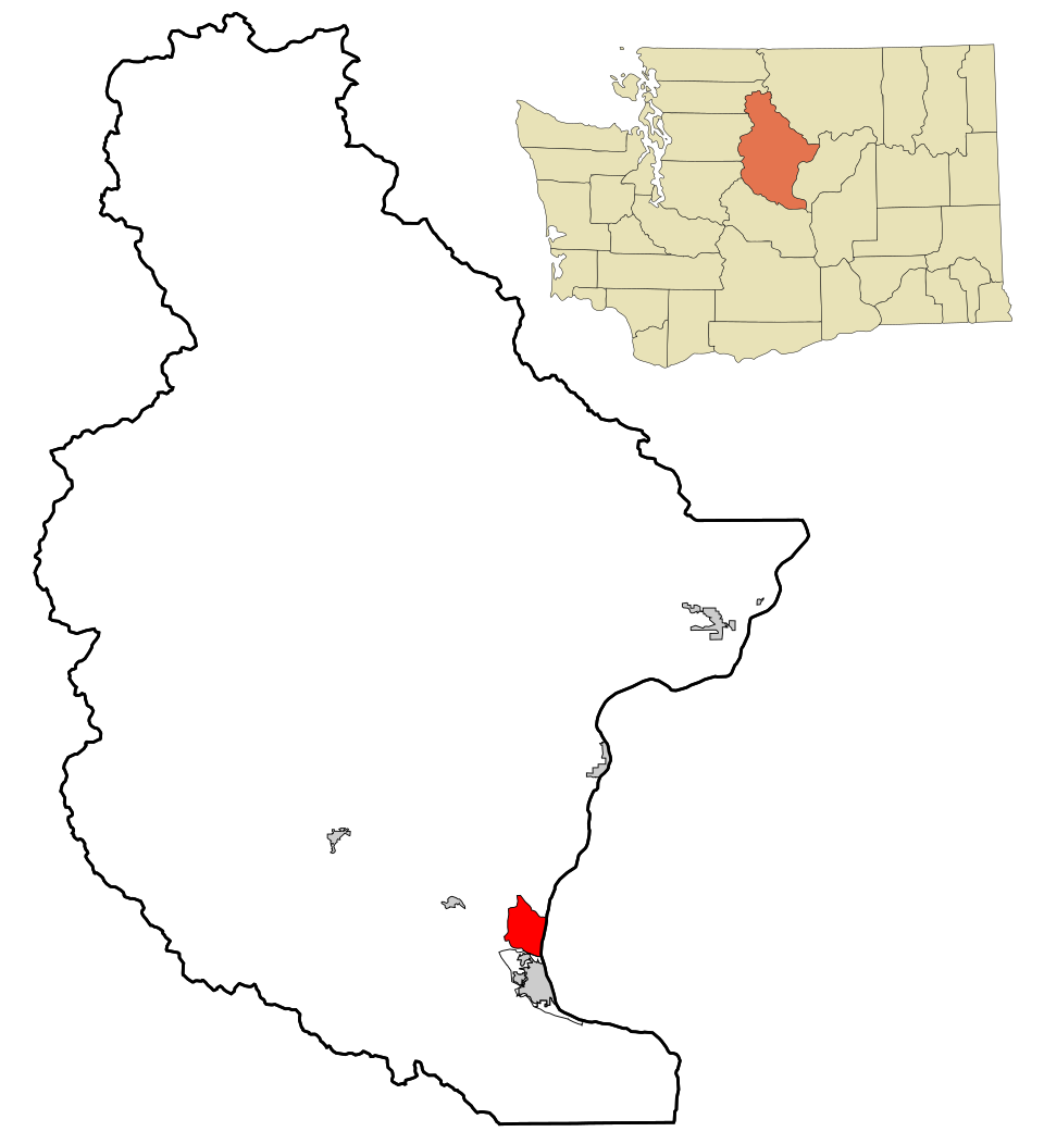
14 Map of Granite Falls Granite Falls4,659 people 63.6 / sq mi 27.5% 22.8 mi
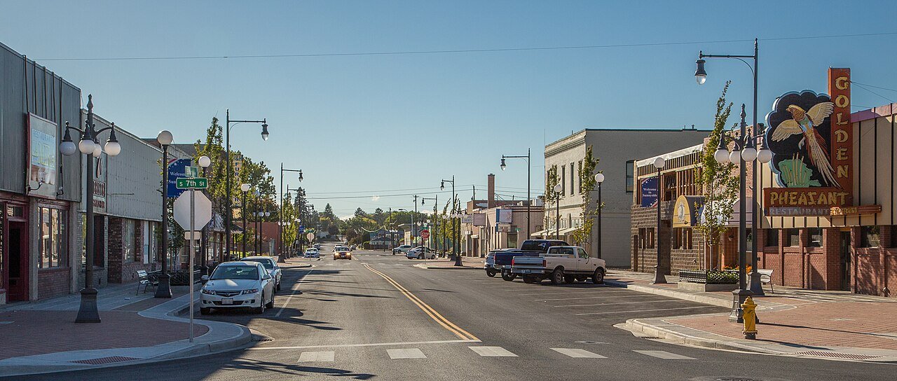
15 Sunnyside Sunnyside16,277 people 61.9 / sq mi 18.5% 78.5 mi
16 Boulevard Park4,575 people 58.2 / sq mi 26.5% 14.6 mi
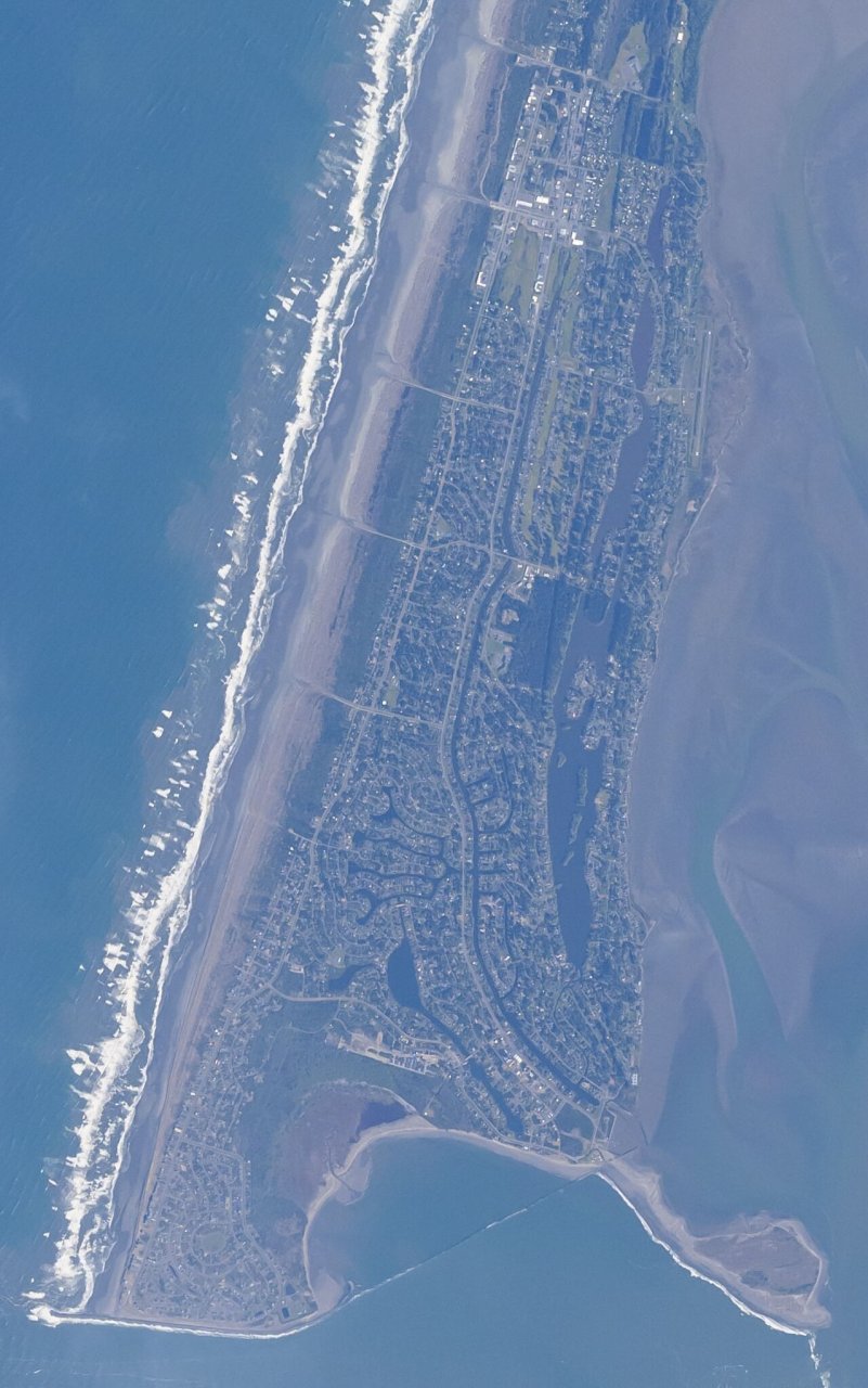
17 Ocean Shores Ocean Shores7,302 people 56.5 / sq mi 23.6% 117.6 mi
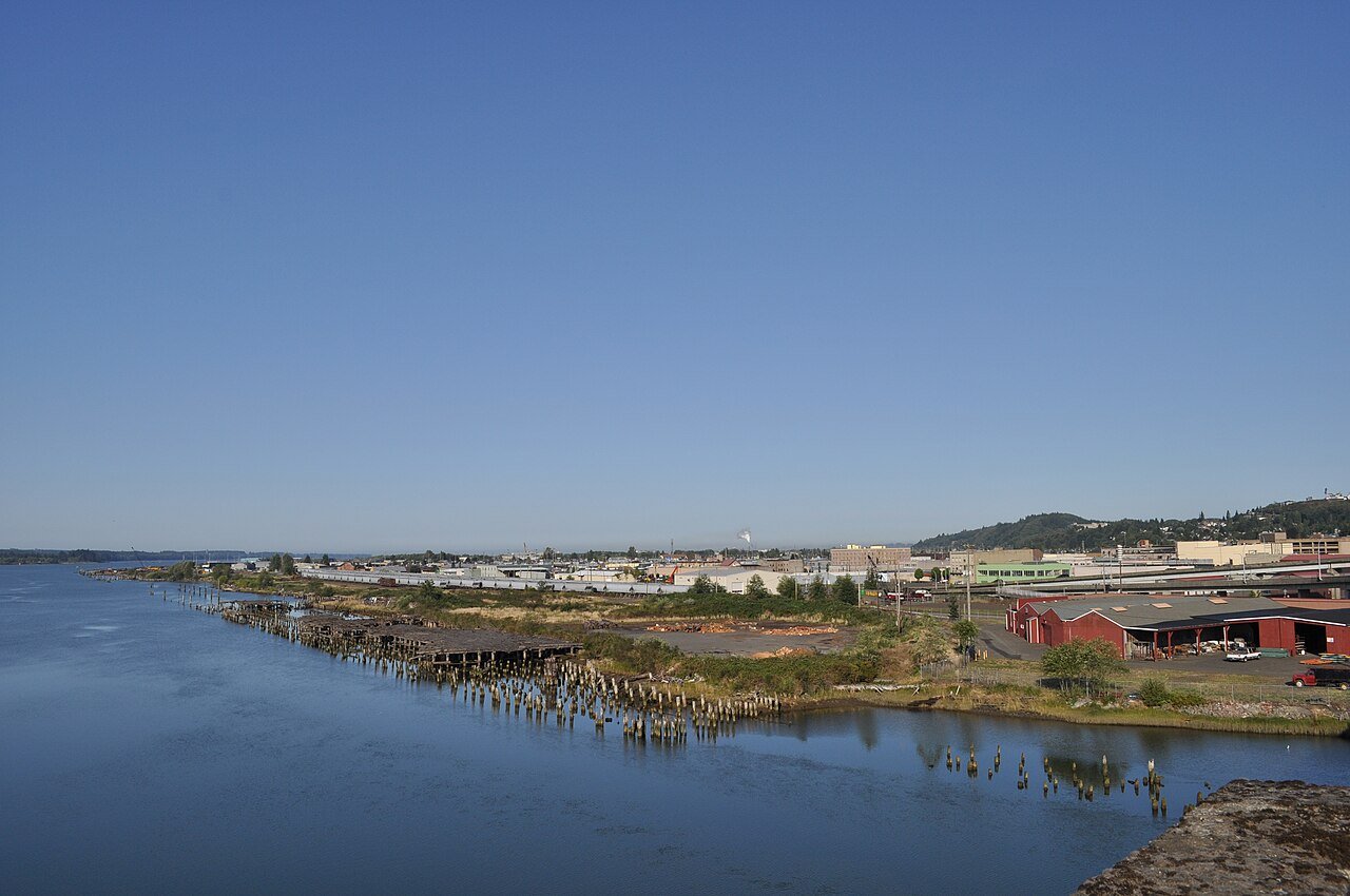
18 Aberdeen Aberdeen17,088 people 56.3 / sq mi 20.6% 108.8 mi
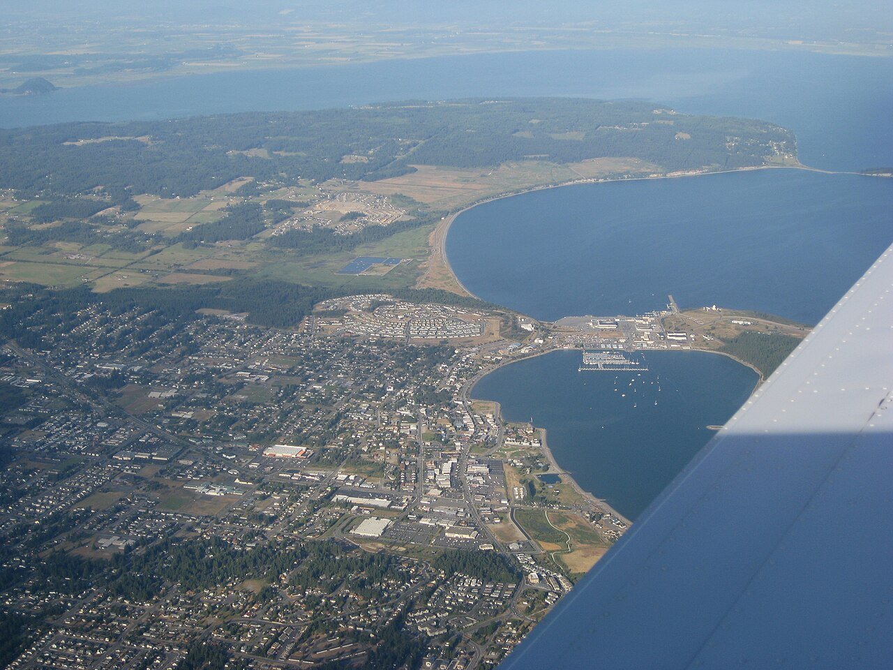
19 Oak Harbor Oak Harbor24,362 people 56.0 / sq mi 20% 106.0 mi
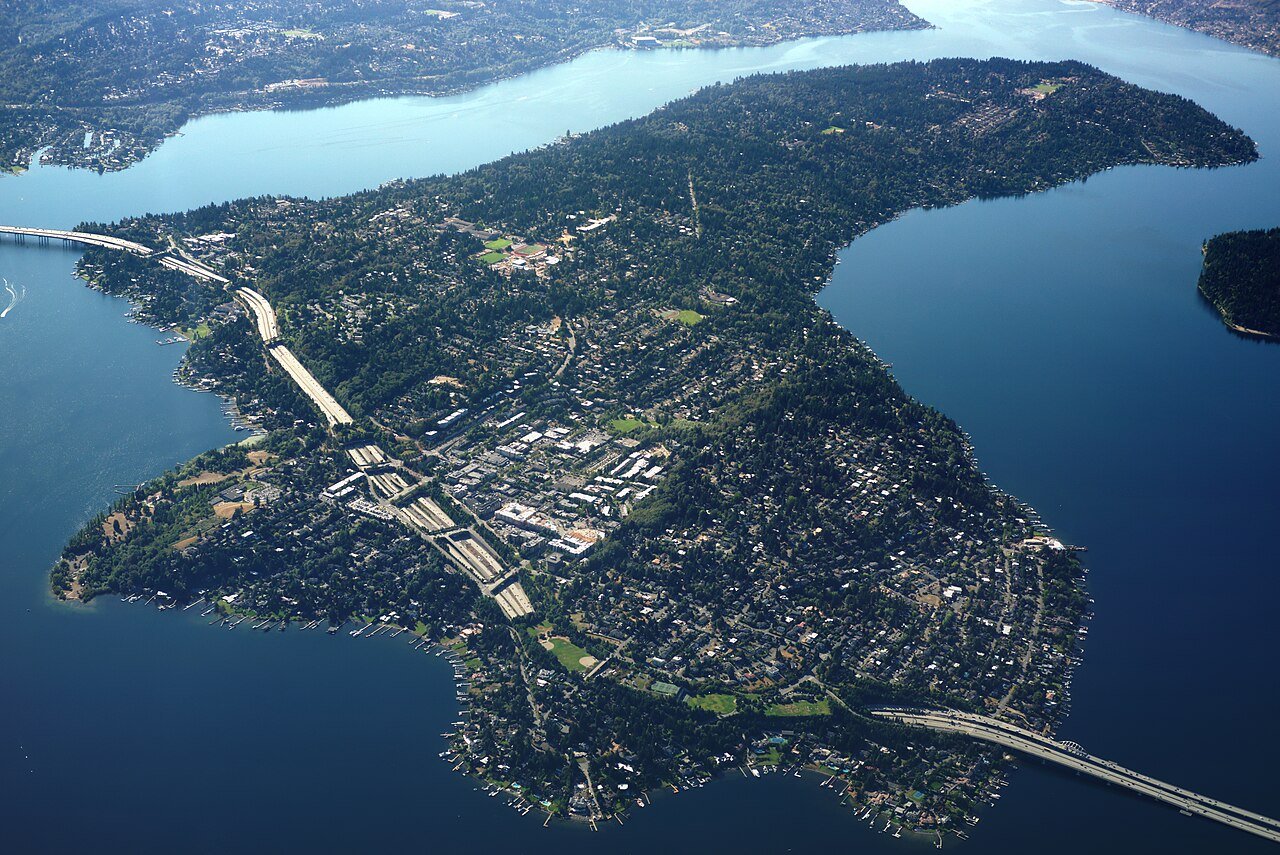
20 Mercer Island Mercer Island25,307 people 50.6 / sq mi 36.3% 101.8 mi
21 Blaine Blaine6,100 people 45.7 / sq mi 22.6% 52.8 mi
22 Raymond Raymond3,210 people 41.5 / sq mi 32.4% 32.7 mi
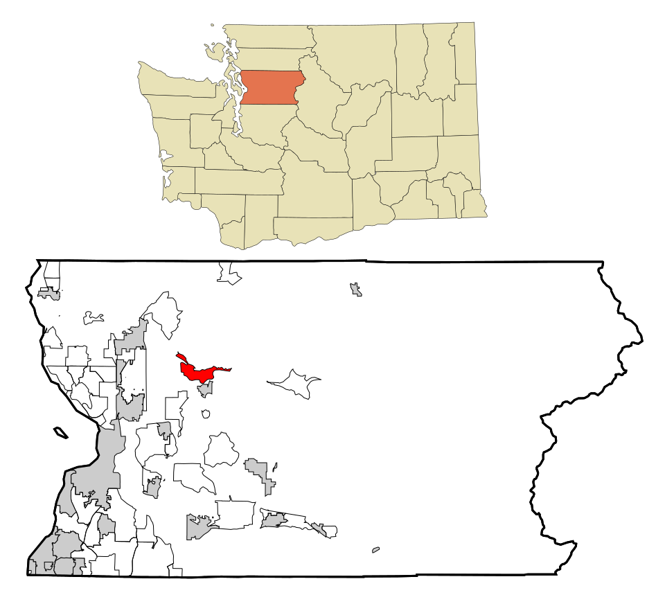
23 Map of Sudden Valley Sudden Valley6,084 people 38.0 / sq mi 32.1% 47.1 mi
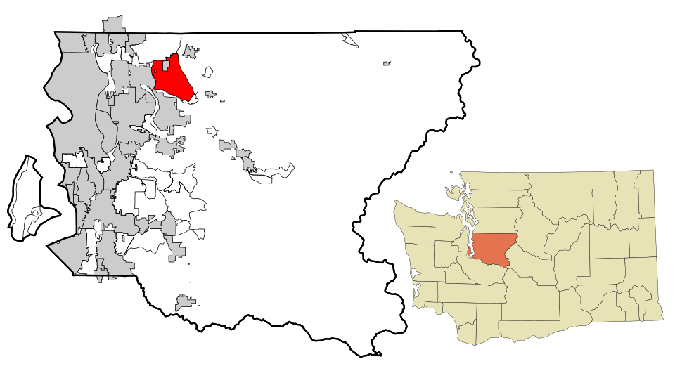
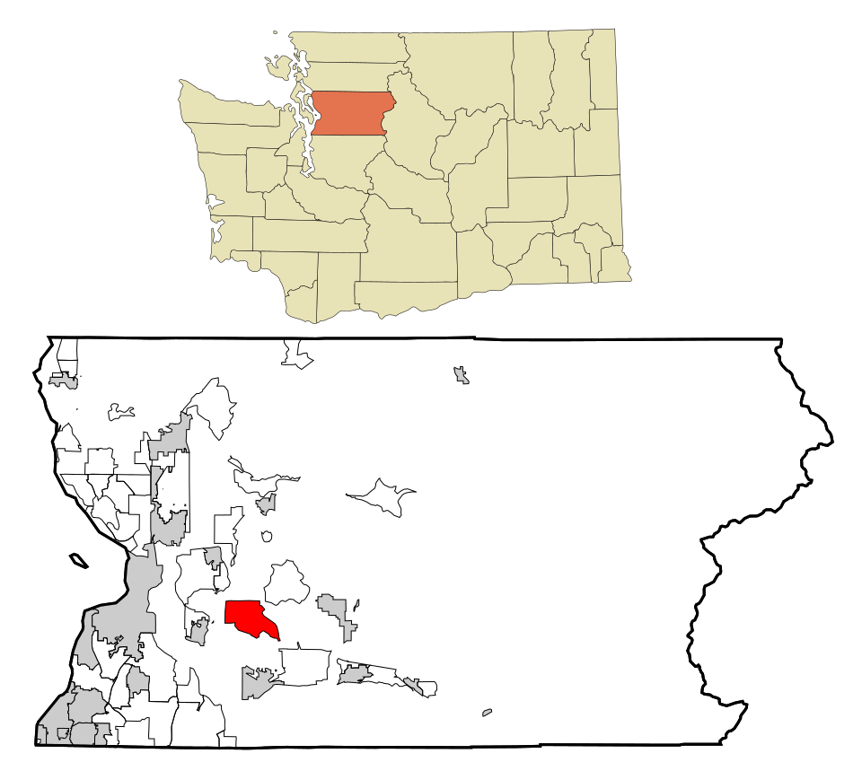
24 Map of Union Hill-Novelty Hill Union Hill-Novelty Hill23,047 people 35.0 / sq mi 30.7% 166.3 mi
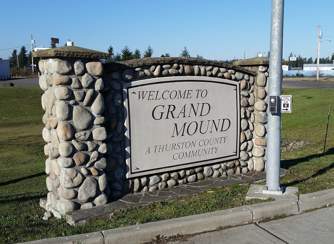
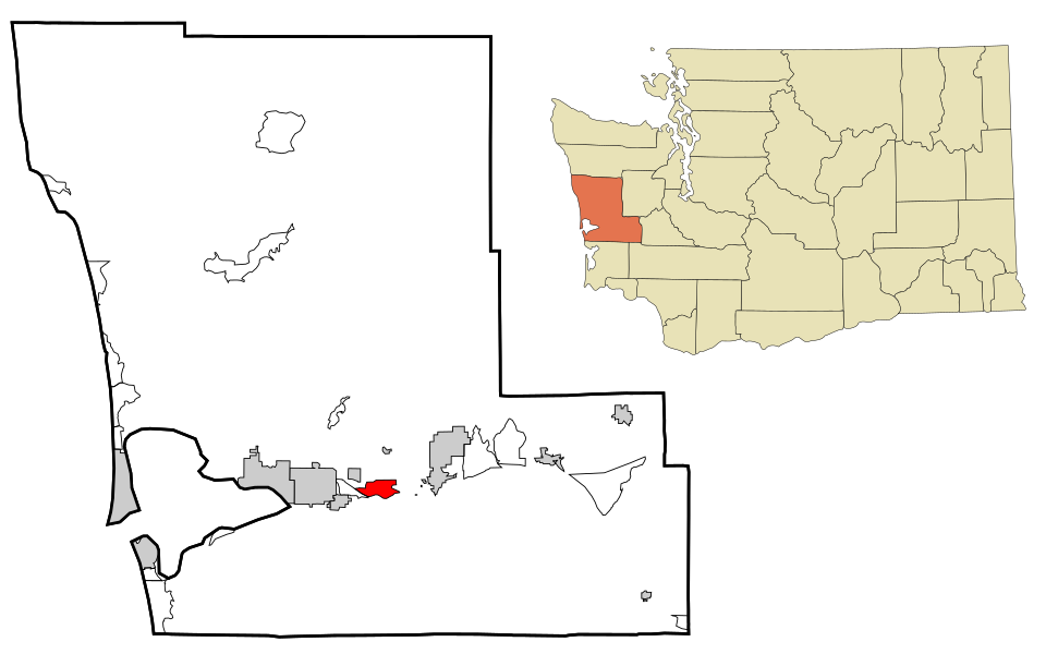
25 Grand Mound Grand Mound3,287 people 34.6 / sq mi 33.2% 29.8 mi
26 Map of Central Park Central Park3,206 people 31.5 / sq mi 39.6% 25.4 mi
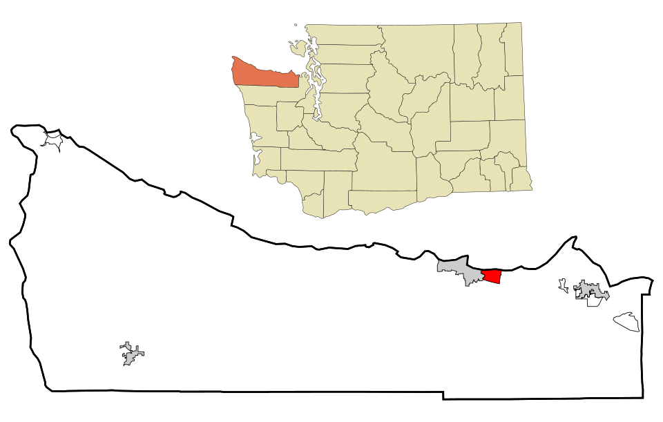
27 Map of Port Angeles East Port Angeles East3,137 people 28.9 / sq mi 38.1% 32.6 mi
28 Map of Sunnyslope Sunnyslope3,706 people 18.8 / sq mi 38.8% 46.4 mi
29 Map of Canyon Creek Canyon Creek3,910 people 15.5 / sq mi 44.8% 30.2 mi
30 Lake Cassidy3,292 people 13.7 / sq mi 39.5% 46.2 mi
31 Map of Three Lakes Three Lakes4,055 people 8.6 / sq mi 48% 48.8 mi

How this ranking works

We rank every town by street connectivity: intersections per square mile, the standard walkability measure the EPA uses. More intersections mean shorter, more direct walks, while cul-de-sac layouts with long dead ends rank lower. Sidewalks are not mapped consistently enough to rank, so this measures the street grid itself. The town with the highest figure ranks #1.

Only towns with at least 2,500 residents are ranked; Census estimates for smaller places are too uncertain. Population and income: U.S. Census Bureau American Community Survey 5-year estimates. Trails, streets and parks: © OpenStreetMap contributors (ODbL). Conserved land: USGS PAD-US. Measured within each town's Census boundary. Town photos: Wikimedia Commons, credited on each town’s page.

Same ranking in other states