CACalifornia rankings

Most walkable towns in California

Ranked by street connectivity: intersections per square mile, the standard walkability measure the EPA uses. 44 towns with 2,500+ residents.
U.S. Census ACS 2020–2024 5-year

#TownIntersections per sq miDead endsStreet miles
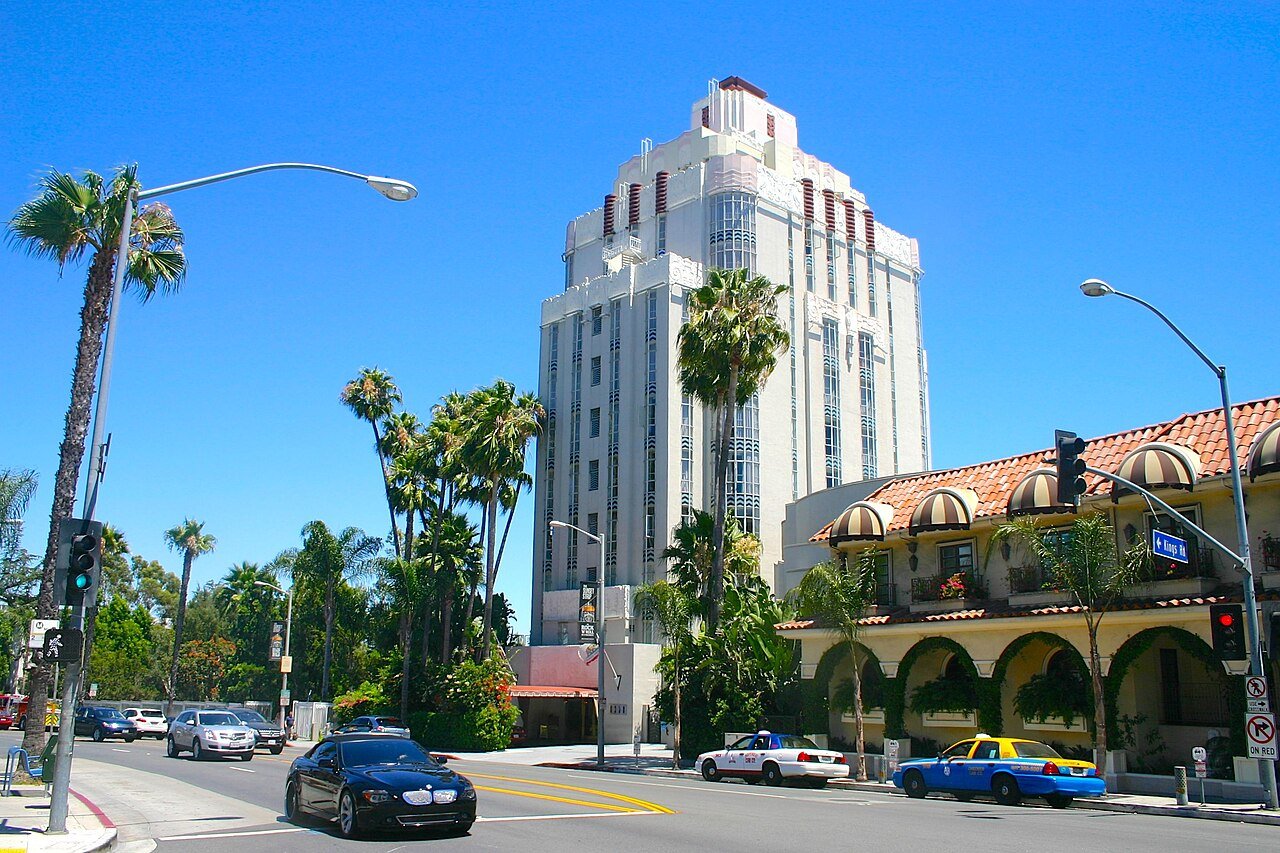
1 West Hollywood West Hollywood34,884 people 221 / sq mi 4.4% 45.1 mi
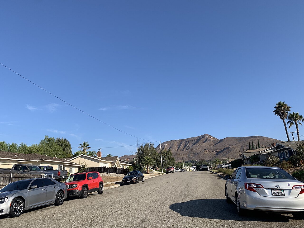
2 La Cresta8,389 people 172 / sq mi 2.7% 25.4 mi
3 Hawaiian Gardens Hawaiian Gardens13,691 people 171 / sq mi 8.4% 21.2 mi
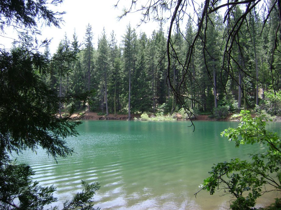
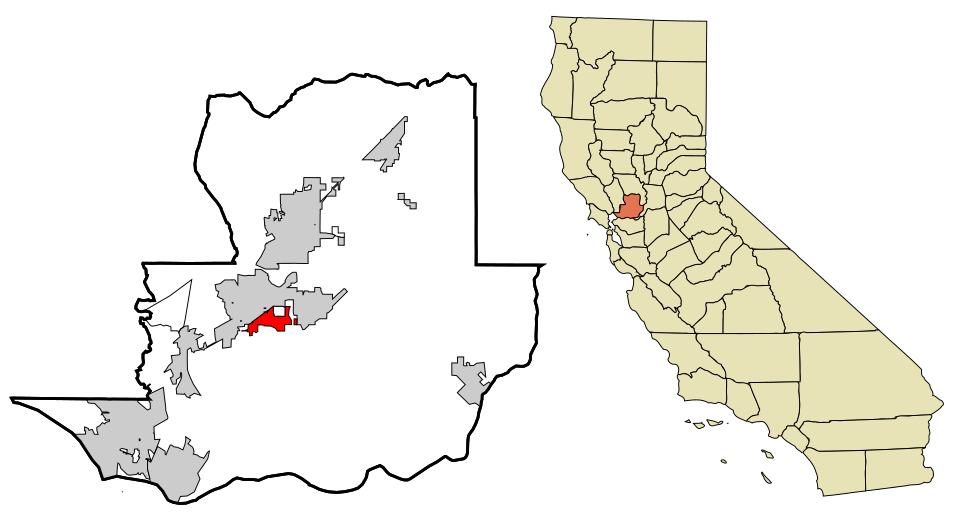
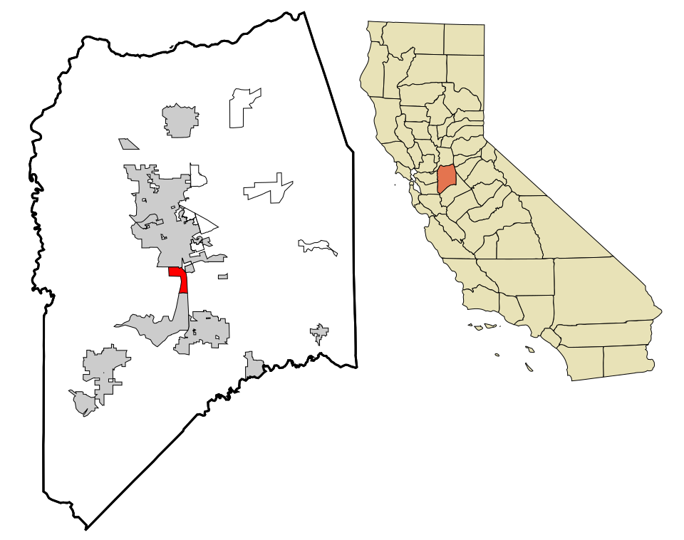
4 Map of Suisun City Suisun City29,286 people 167 / sq mi 19.3% 89.6 mi
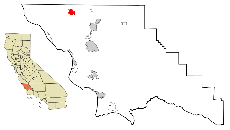
5 Culver City Culver City39,931 people 149 / sq mi 13.2% 98.0 mi
6 Kensington Kensington5,179 people 148 / sq mi 23.5% 17.5 mi
7 Casa Conejo Casa Conejo2,671 people 146 / sq mi 22.5% 10.3 mi
8 Map of South Whittier South Whittier55,650 people 141 / sq mi 22.1% 114.2 mi
9 Map of Brentwood Brentwood65,208 people 129 / sq mi 25.5% 278.1 mi
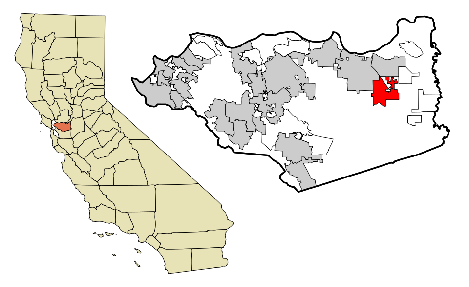
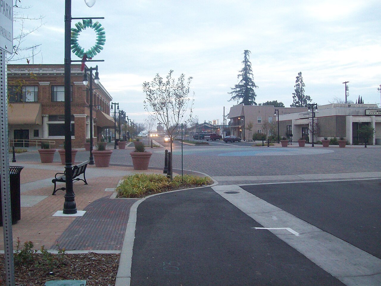
10 Riverbank Riverbank25,166 people 128 / sq mi 25.8% 86.5 mi
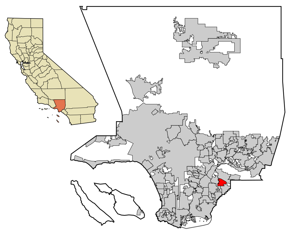
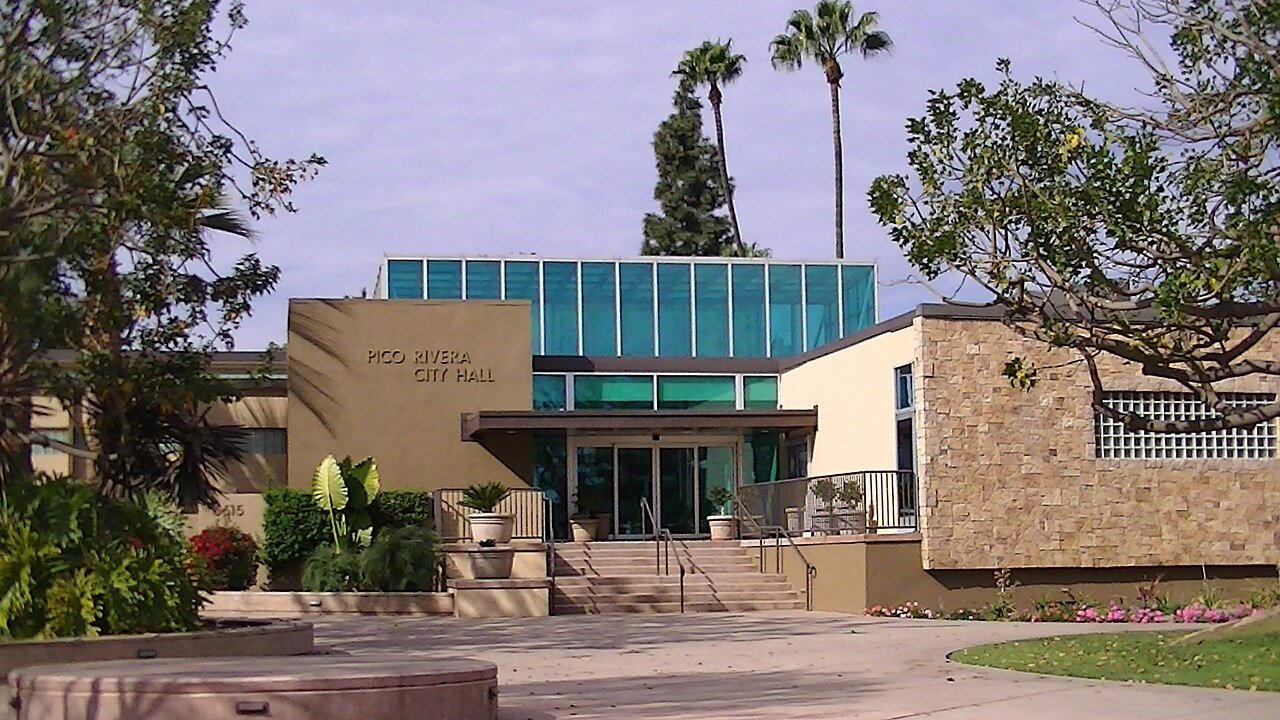
11 Pico Rivera Pico Rivera60,272 people 115 / sq mi 17.2% 148.7 mi
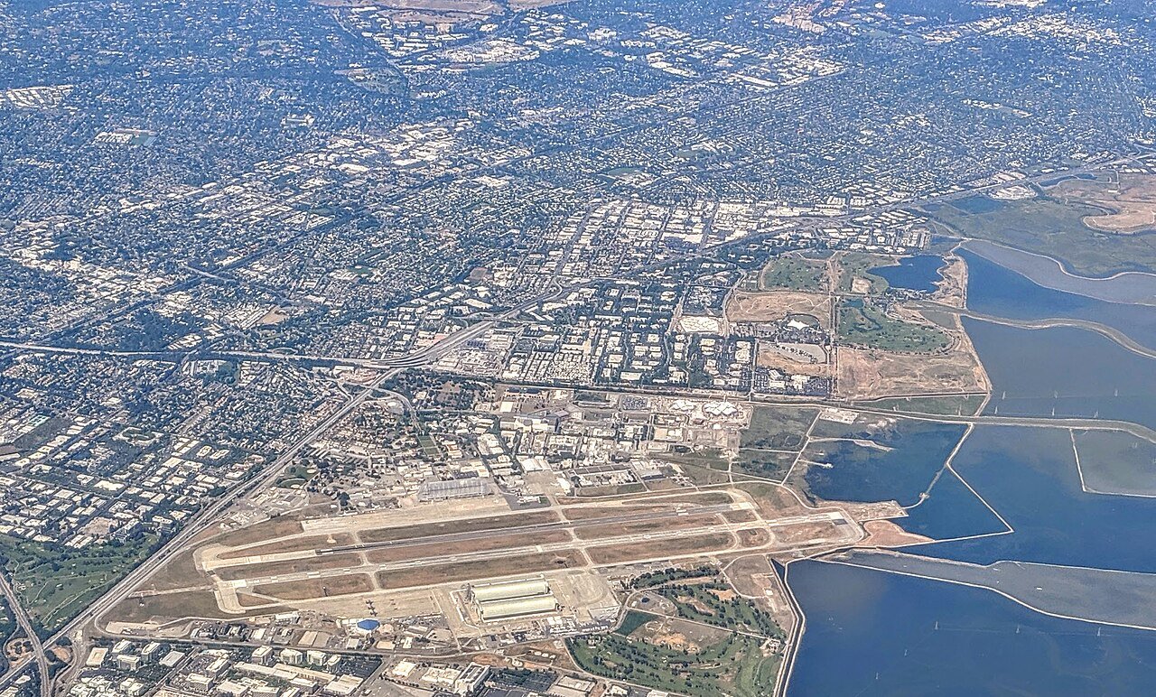
12 Mountain View Mountain View83,732 people 107 / sq mi 16% 189.4 mi
13 Santa Rosa Santa Rosa177,090 people 97.1 / sq mi 26.8% 605.4 mi
14 Map of Nice Nice2,569 people 95.6 / sq mi 27.9% 28.3 mi
15 Map of Santa Maria Santa Maria110,462 people 93.0 / sq mi 15.1% 304.1 mi
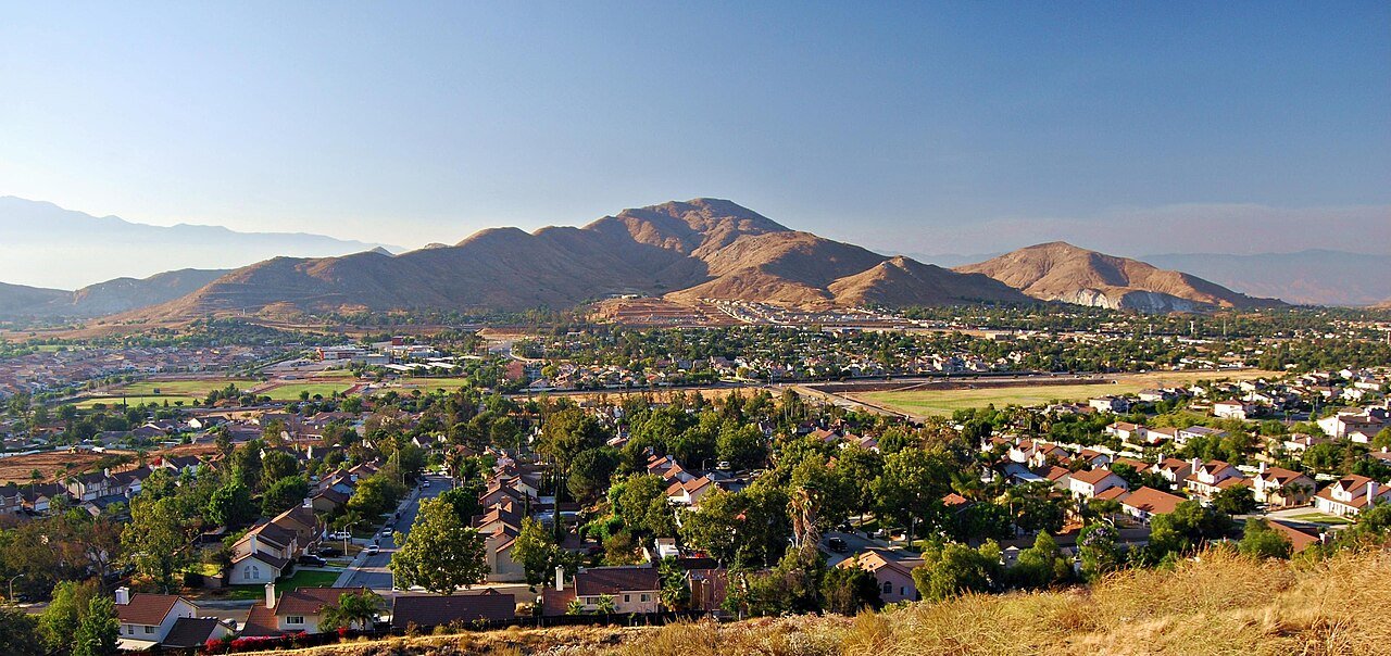
16 Map of Highgrove Highgrove8,366 people 91.8 / sq mi 26.3% 43.5 mi
17 Fontana Fontana214,169 people 91.1 / sq mi 25% 619.2 mi
18 Map of South El Monte South El Monte19,287 people 89.1 / sq mi 26.5% 43.4 mi
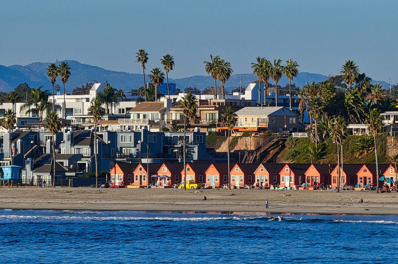
19 Oceanside Oceanside172,242 people 88.8 / sq mi 28.1% 584.2 mi
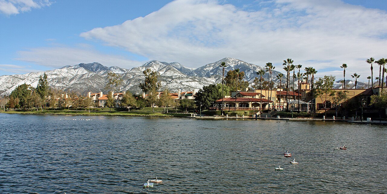
20 Rancho Santa Margarita Rancho Santa Margarita46,990 people 87.9 / sq mi 27.9% 141.0 mi
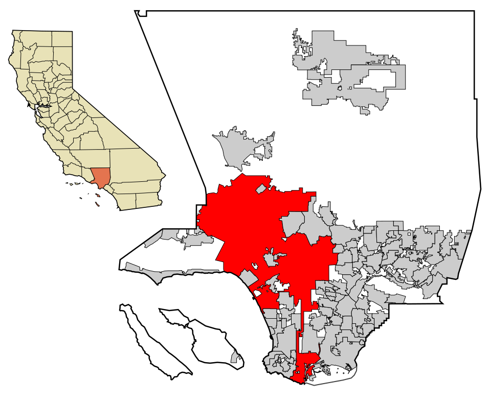
21 Map of Los Angeles Los Angeles3,857,263 people 85.4 / sq mi 17.5% 7,006.9 mi
22 Scotts Valley Scotts Valley12,044 people 84.2 / sq mi 30% 61.3 mi
23 San Joaquin San Joaquin3,708 people 73.3 / sq mi 13.3% 12.8 mi
24 Rancho Mirage Rancho Mirage17,563 people 65.2 / sq mi 21% 248.7 mi
25 University of California-Davis8,696 people 60.0 / sq mi 14.9% 14.2 mi
26 Map of Paradise Paradise7,392 people 59.4 / sq mi 41.2% 188.5 mi
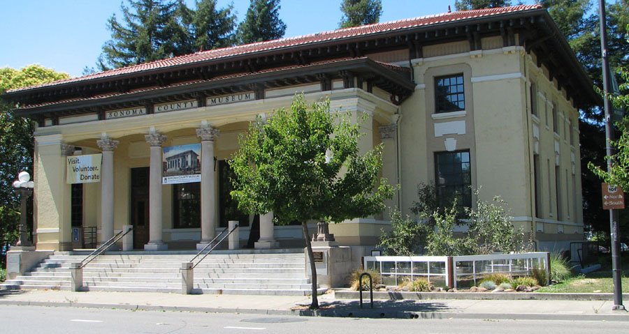
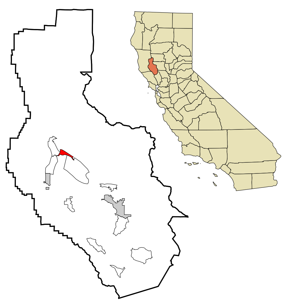
27 Map of Fetters Hot Springs-Agua Caliente Fetters Hot Springs-Agua Caliente3,347 people 55.7 / sq mi 30.8% 12.5 mi
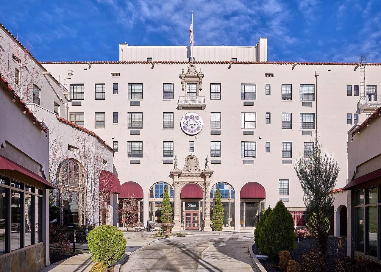
28 Oroville Oroville19,752 people 48.8 / sq mi 19.2% 115.8 mi
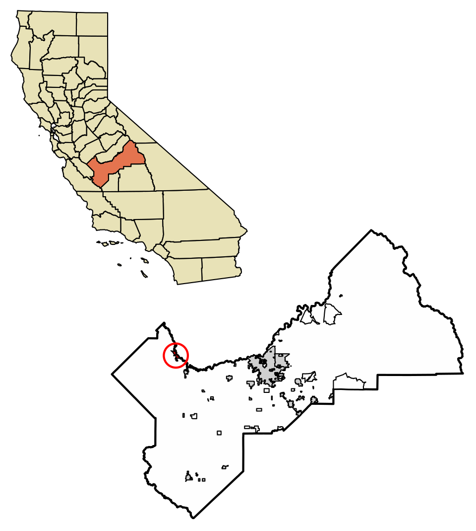
29 Map of Firebaugh Firebaugh8,392 people 48.7 / sq mi 19% 28.1 mi
30 Jurupa Valley Jurupa Valley107,011 people 46.8 / sq mi 26% 415.9 mi
31 Victorville Victorville137,627 people 44.4 / sq mi 22.8% 592.8 mi
32 Cameron Park Cameron Park18,315 people 42.6 / sq mi 29.9% 107.9 mi
33 Map of Albany Albany19,414 people 42.3 / sq mi 7.3% 34.3 mi
34 Map of Camp Pendleton South Camp Pendleton South15,766 people 40.6 / sq mi 27.9% 48.0 mi
35 Map of Kings Beach Kings Beach2,736 people 39.5 / sq mi 25.9% 18.5 mi
36 Map of French Camp French Camp3,264 people 32.2 / sq mi 19.5% 23.4 mi
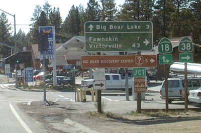
37 Big Bear City Big Bear City11,431 people 29.9 / sq mi 19.6% 162.5 mi
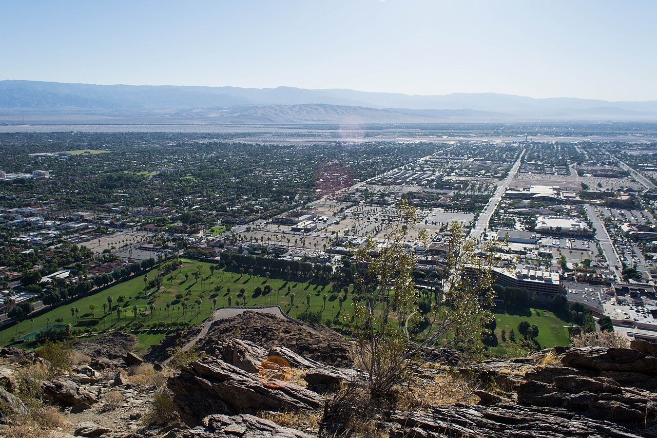
38 Palm Springs Palm Springs45,070 people 28.8 / sq mi 20.8% 392.7 mi
39 Pollock Pines Pollock Pines6,212 people 28.0 / sq mi 37.9% 68.1 mi
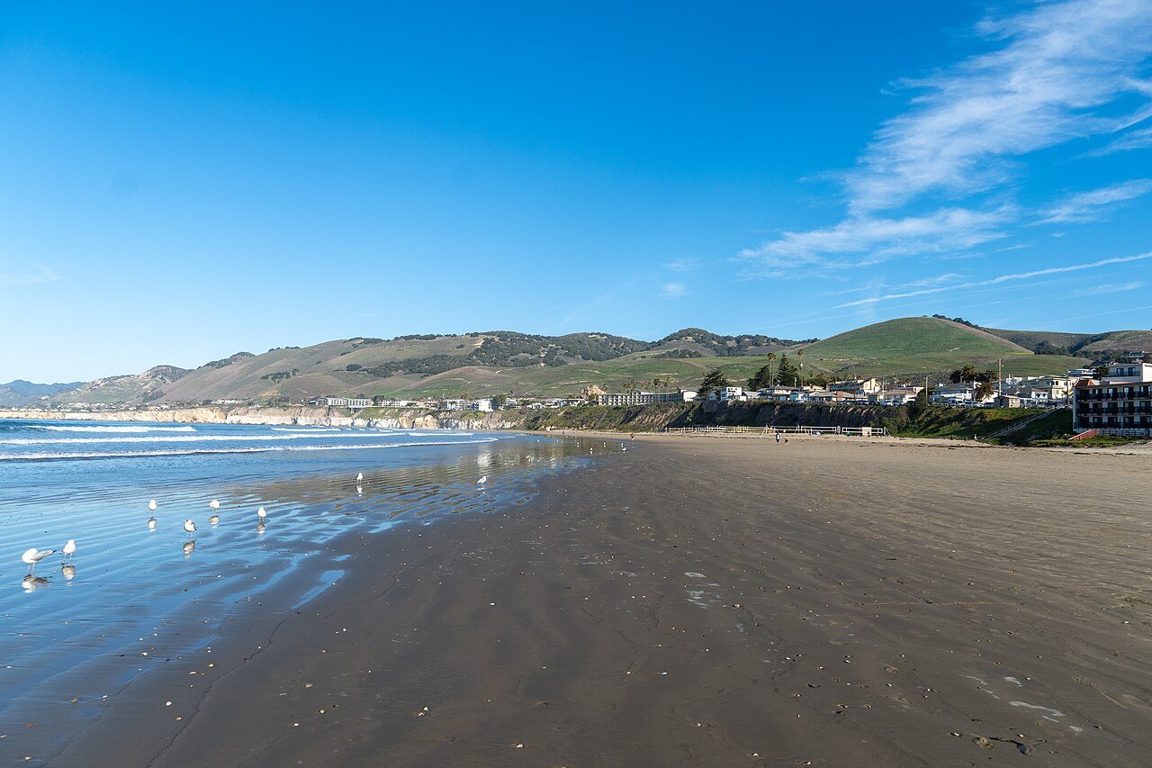
40 Pismo Beach Pismo Beach8,014 people 26.7 / sq mi 25.7% 52.0 mi
41 La Habra Heights La Habra Heights5,478 people 26.6 / sq mi 36.8% 54.6 mi
42 Map of McKinleyville McKinleyville17,113 people 23.2 / sq mi 35.9% 100.8 mi
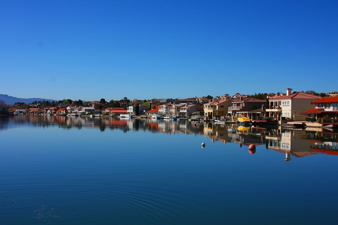
43 Map of Lake Nacimiento Lake Nacimiento3,339 people 15.7 / sq mi 35.2% 35.5 mi
44 Map of Bella Vista Bella Vista4,511 people 9.6 / sq mi 45.5% 87.9 mi

How this ranking works

We rank every town by street connectivity: intersections per square mile, the standard walkability measure the EPA uses. More intersections mean shorter, more direct walks, while cul-de-sac layouts with long dead ends rank lower. Sidewalks are not mapped consistently enough to rank, so this measures the street grid itself. The town with the highest figure ranks #1.

Only towns with at least 2,500 residents are ranked; Census estimates for smaller places are too uncertain. Population and income: U.S. Census Bureau American Community Survey 5-year estimates. Trails, streets and parks: © OpenStreetMap contributors (ODbL). Conserved land: USGS PAD-US. Measured within each town's Census boundary. Town photos: Wikimedia Commons, credited on each town’s page.

Same ranking in other states