NMNew Mexico rankings

Most walkable towns in New Mexico

Ranked by street connectivity: intersections per square mile, the standard walkability measure the EPA uses. 43 towns with 2,500+ residents.
U.S. Census ACS 2020–2024 5-year

#TownIntersections per sq miDead endsStreet miles
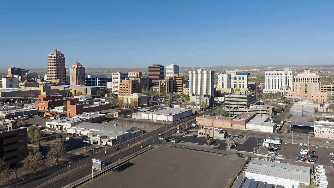
1 Albuquerque Albuquerque562,218 people 103 / sq mi 17.8% 2,574.8 mi
2 Anthony Anthony8,767 people 100 / sq mi 12.3% 38.7 mi
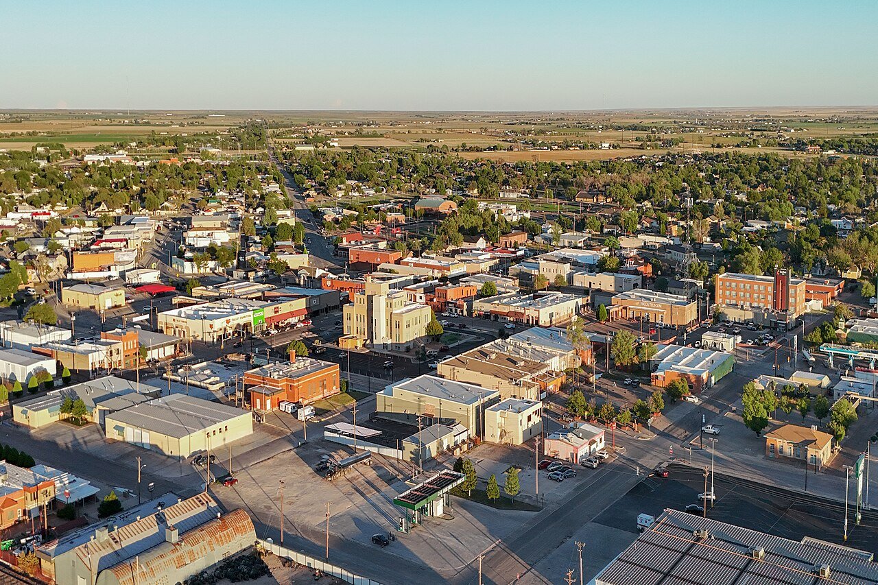
3 Portales Portales11,968 people 92.4 / sq mi 8.5% 99.5 mi
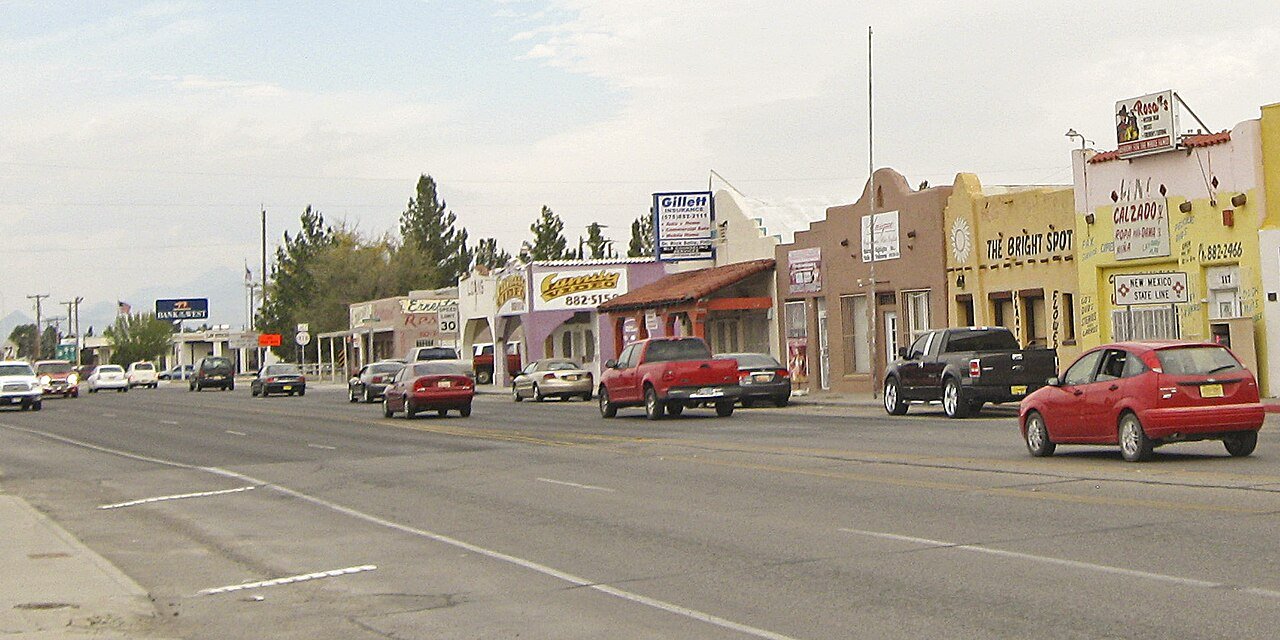
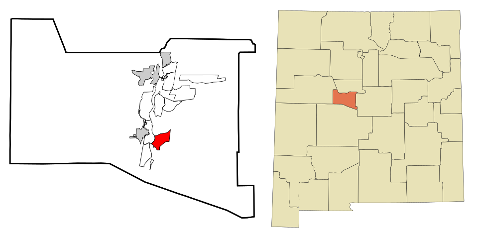
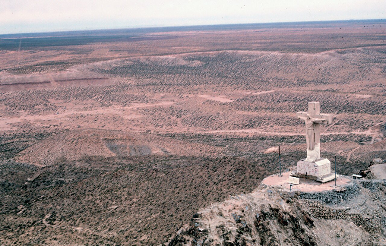
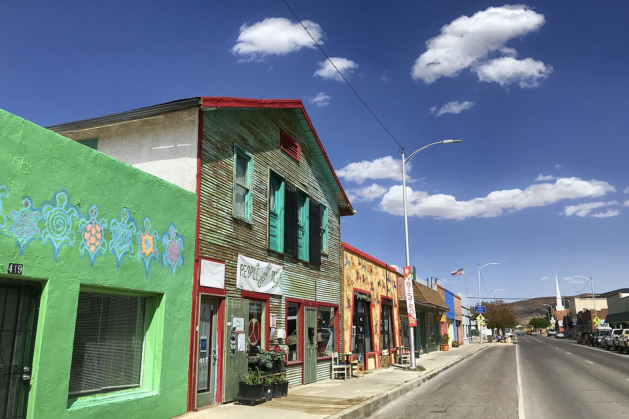
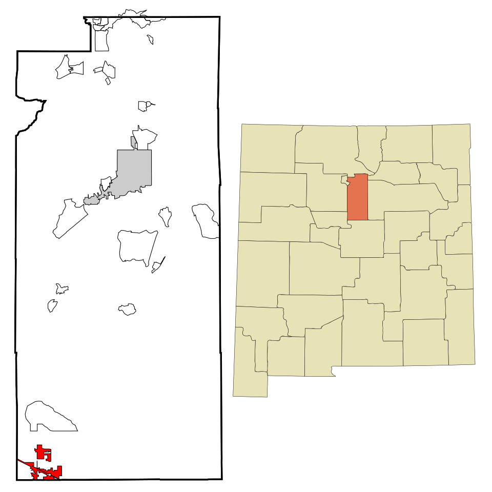
4 Map of Tularosa Tularosa2,597 people 86.2 / sq mi 17.1% 36.0 mi
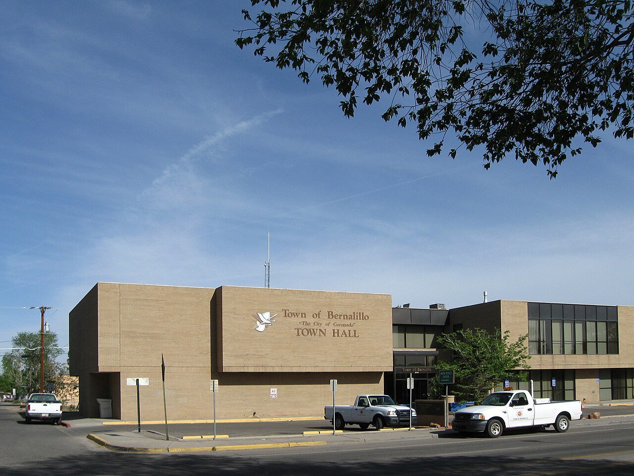
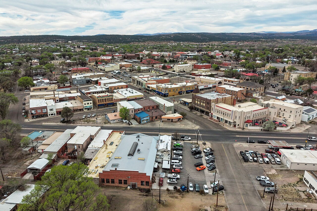
5 Bernalillo Bernalillo9,086 people 82.5 / sq mi 24.5% 71.0 mi
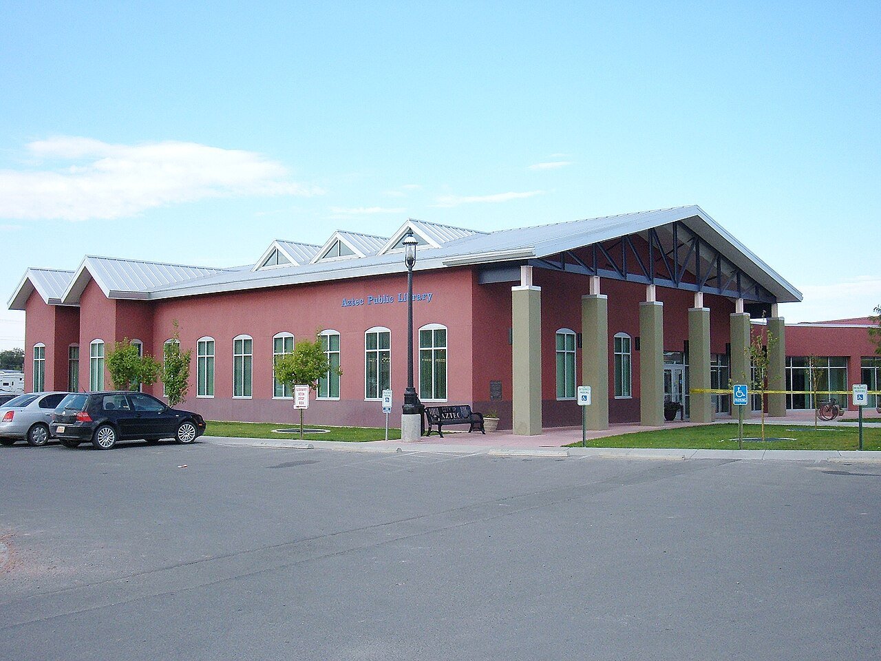
6 Las Vegas Las Vegas13,000 people 81.7 / sq mi 17.5% 104.0 mi
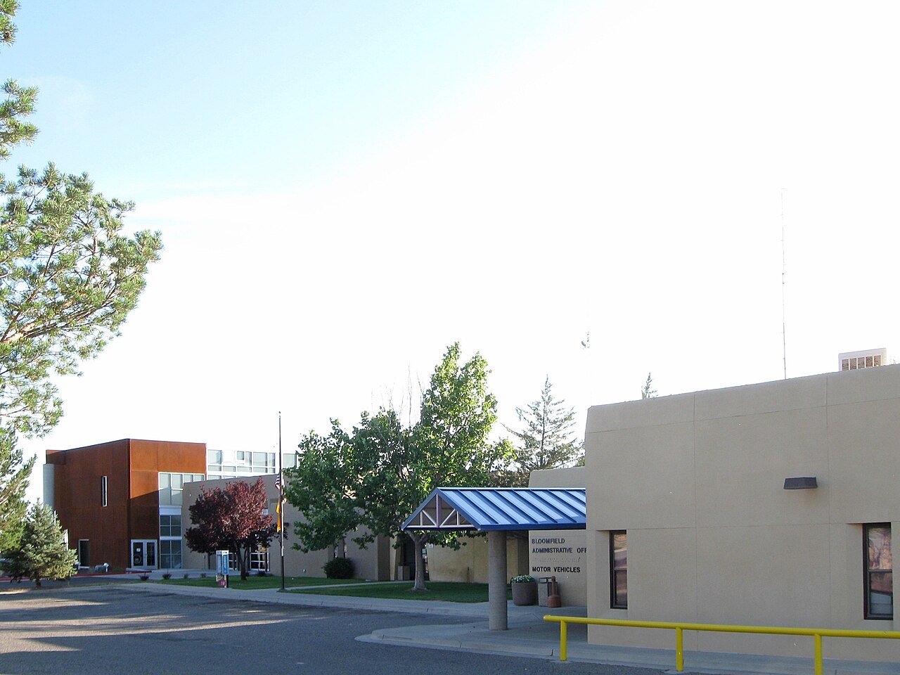
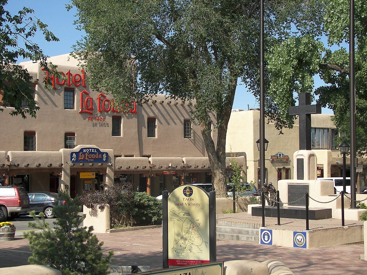
7 Taos Taos6,458 people 75.7 / sq mi 27.8% 74.7 mi
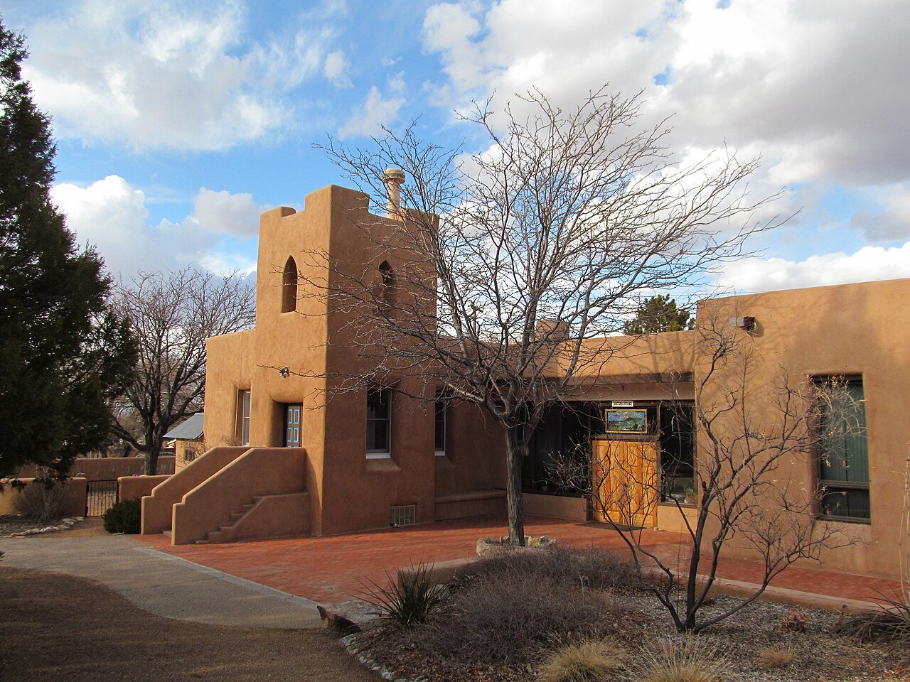
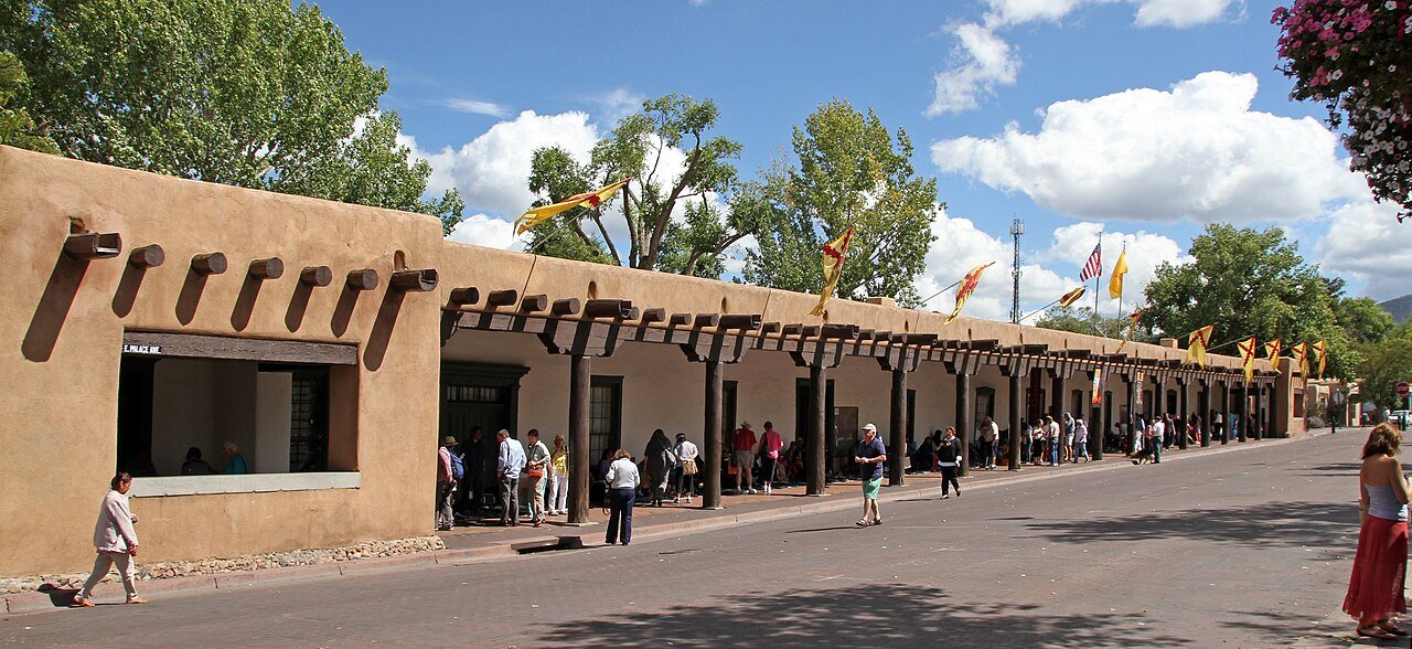
8 Santa Fe Santa Fe89,019 people 74.9 / sq mi 20.4% 590.6 mi
9 Clovis Clovis37,942 people 72.9 / sq mi 12.1% 258.9 mi
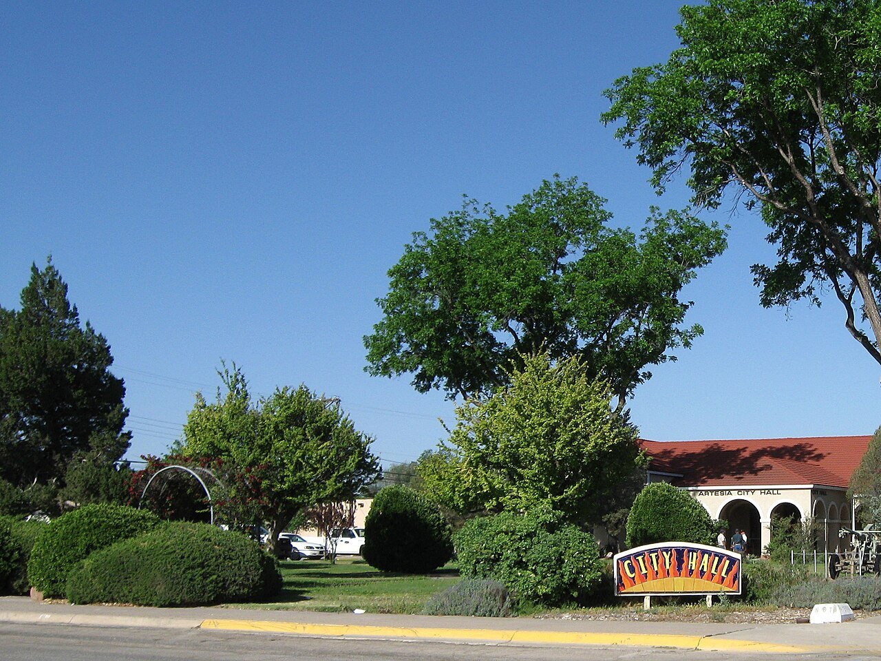
10 Artesia Artesia12,576 people 69.8 / sq mi 9.1% 123.6 mi
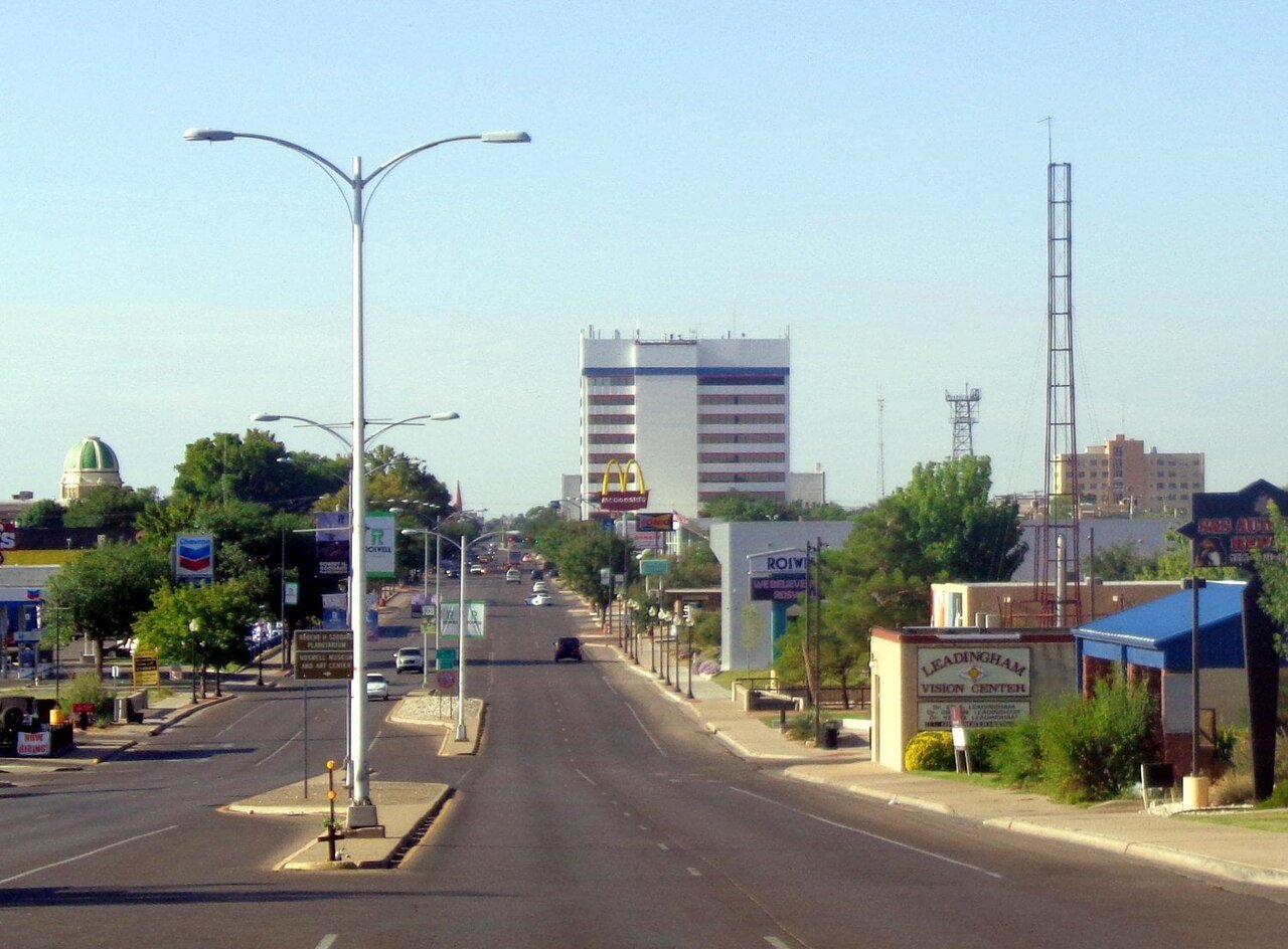
11 Roswell Roswell47,638 people 67.4 / sq mi 11.5% 322.3 mi
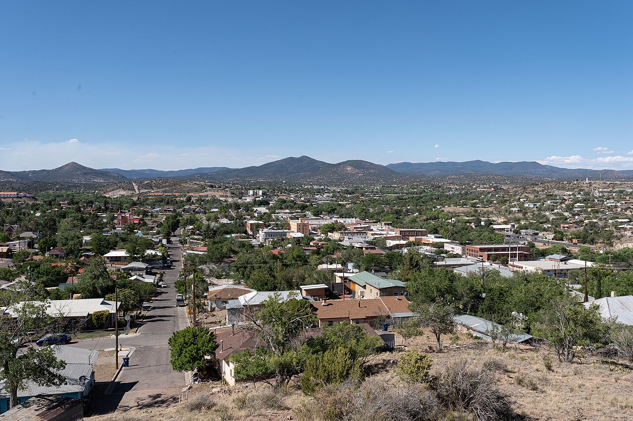
12 Silver City Silver City9,536 people 67.0 / sq mi 23.2% 107.8 mi
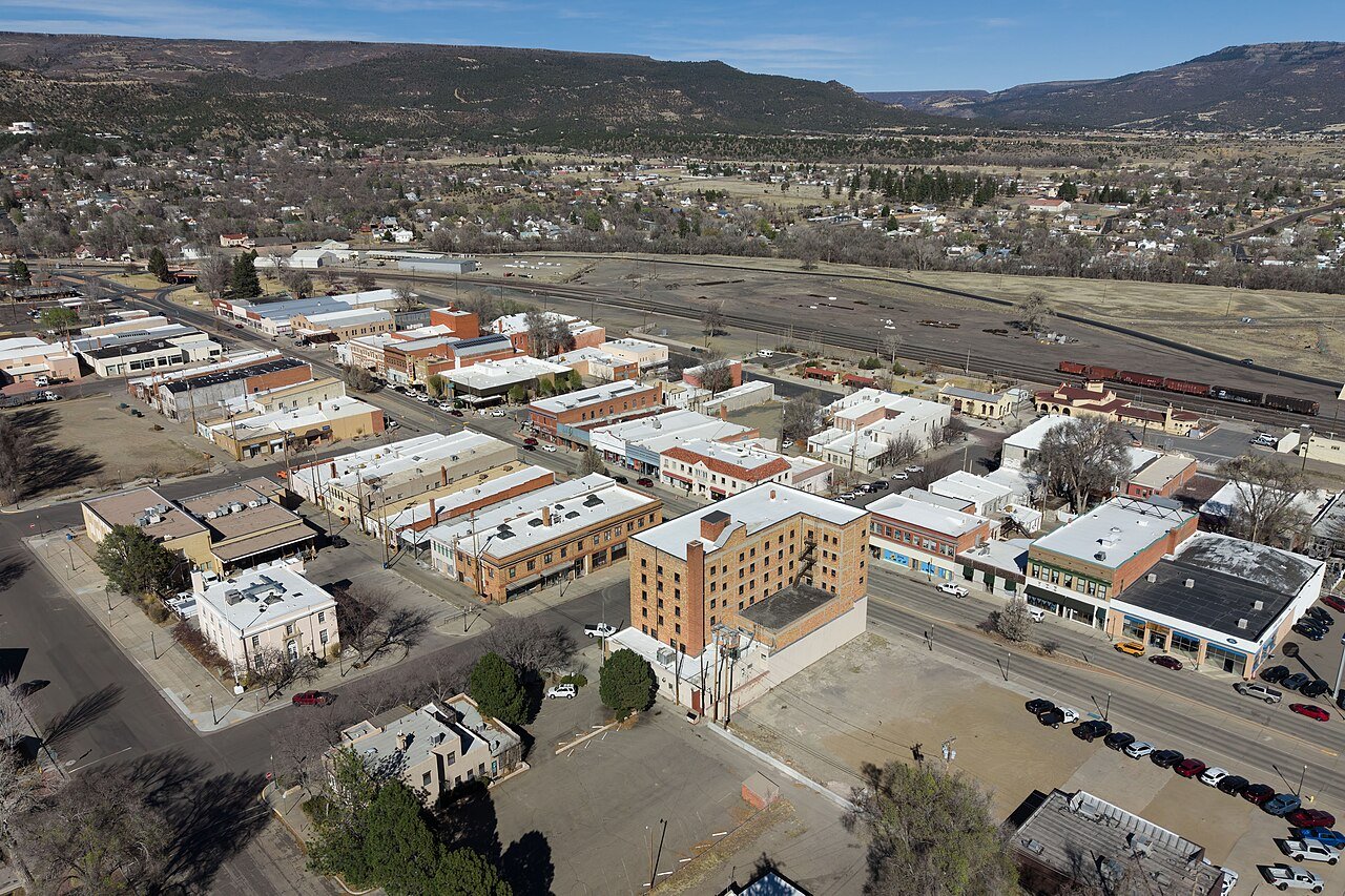
13 Raton Raton6,026 people 66.2 / sq mi 15.2% 79.2 mi
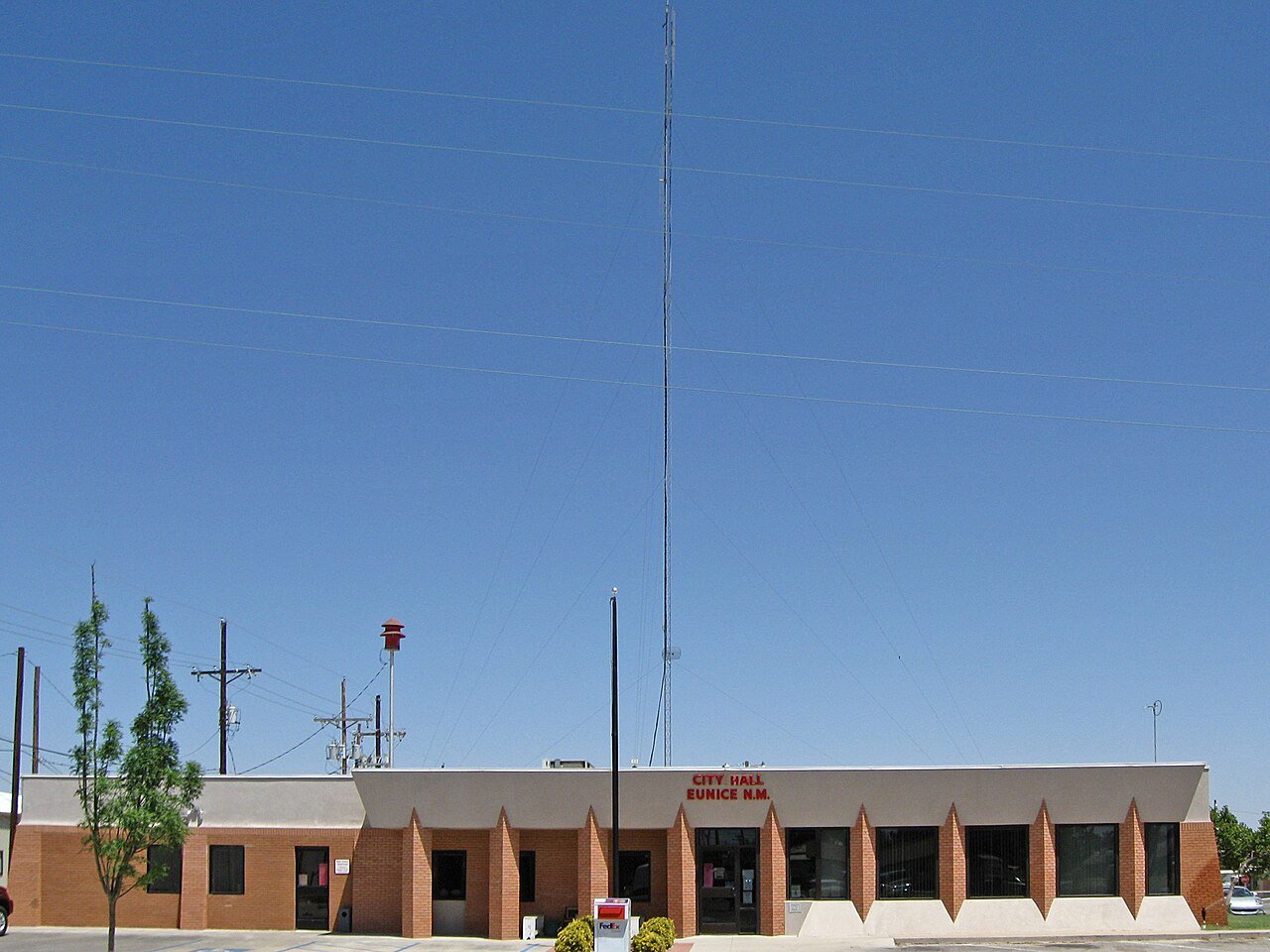
14 Eunice Eunice3,015 people 66.0 / sq mi 8.4% 38.8 mi
15 Española Española10,473 people 65.8 / sq mi 32.2% 90.4 mi
16 Deming Deming15,221 people 64.1 / sq mi 6.2% 166.2 mi
17 Alamogordo Alamogordo31,307 people 61.6 / sq mi 12.7% 221.0 mi
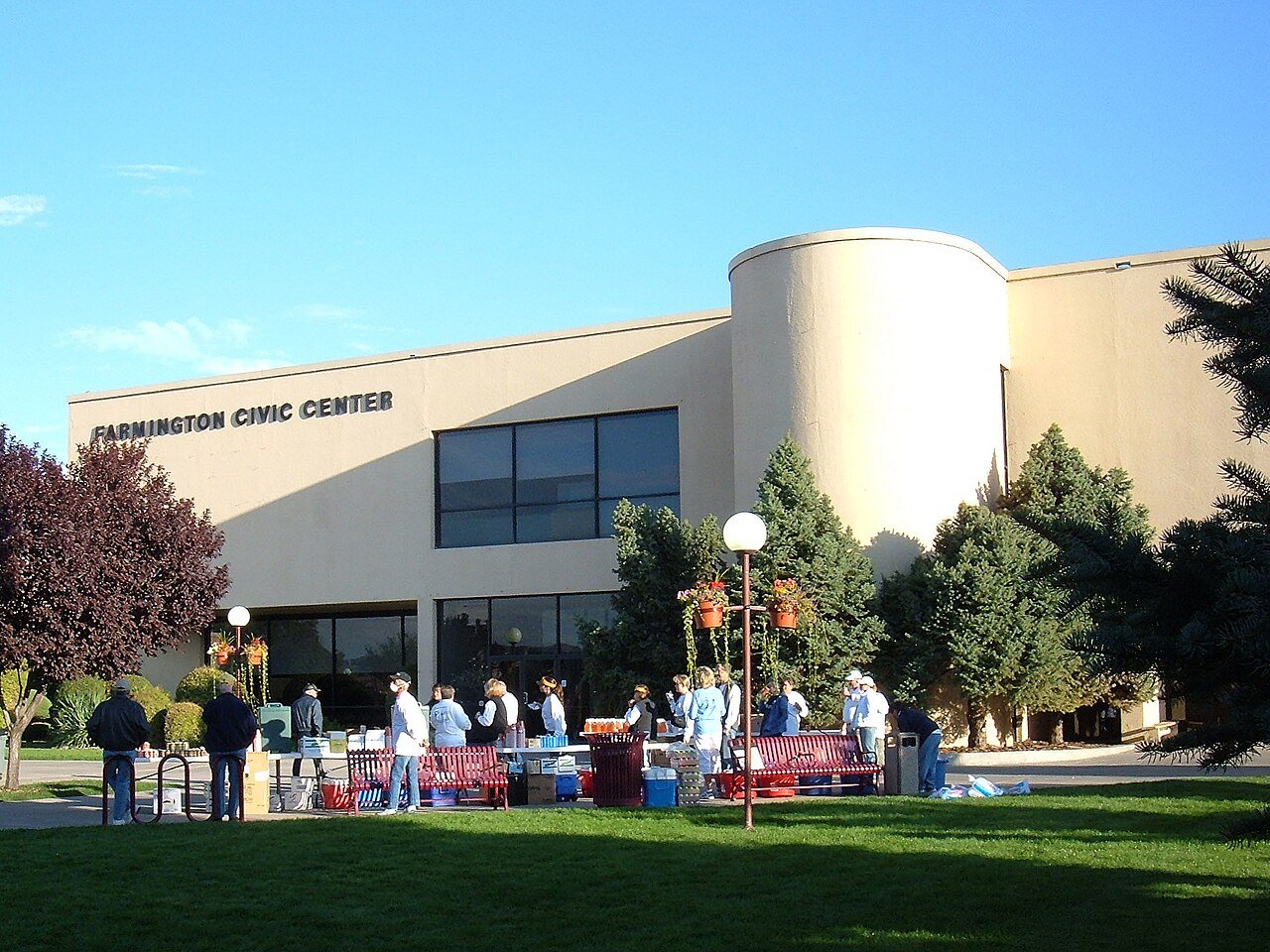
18 Farmington Farmington46,314 people 59.5 / sq mi 20.3% 334.0 mi
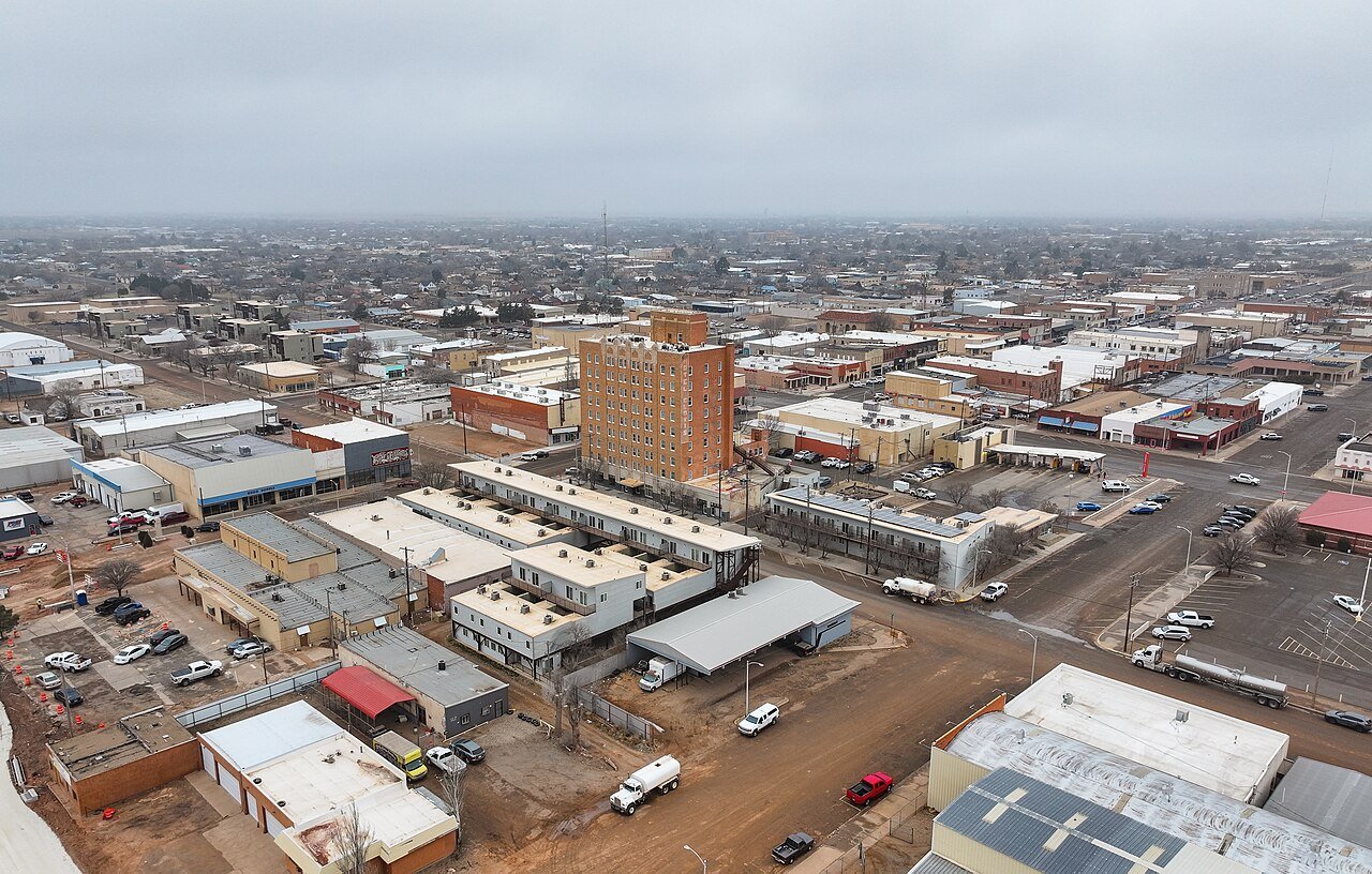
19 Tucumcari Tucumcari5,160 people 58.8 / sq mi 11% 93.5 mi
20 Las Cruces Las Cruces114,197 people 58.7 / sq mi 16.7% 674.9 mi
21 Hobbs Hobbs40,252 people 58.4 / sq mi 10.8% 256.0 mi
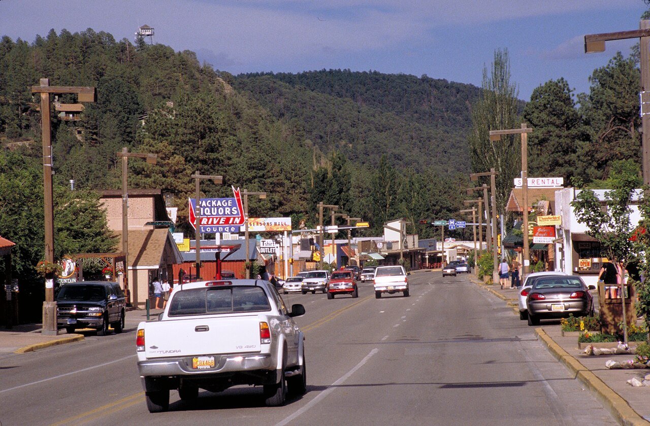
22 Ruidoso Ruidoso7,699 people 55.8 / sq mi 23.7% 175.1 mi
23 Los Ranchos de Albuquerque Los Ranchos de Albuquerque5,857 people 49.8 / sq mi 35.9% 44.9 mi
24 Los Lunas Los Lunas18,618 people 46.8 / sq mi 22.1% 142.1 mi
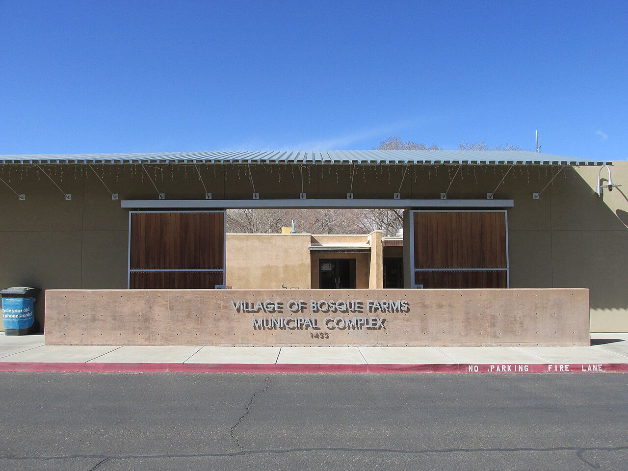
25 Bosque Farms Bosque Farms4,071 people 44.4 / sq mi 36% 38.3 mi
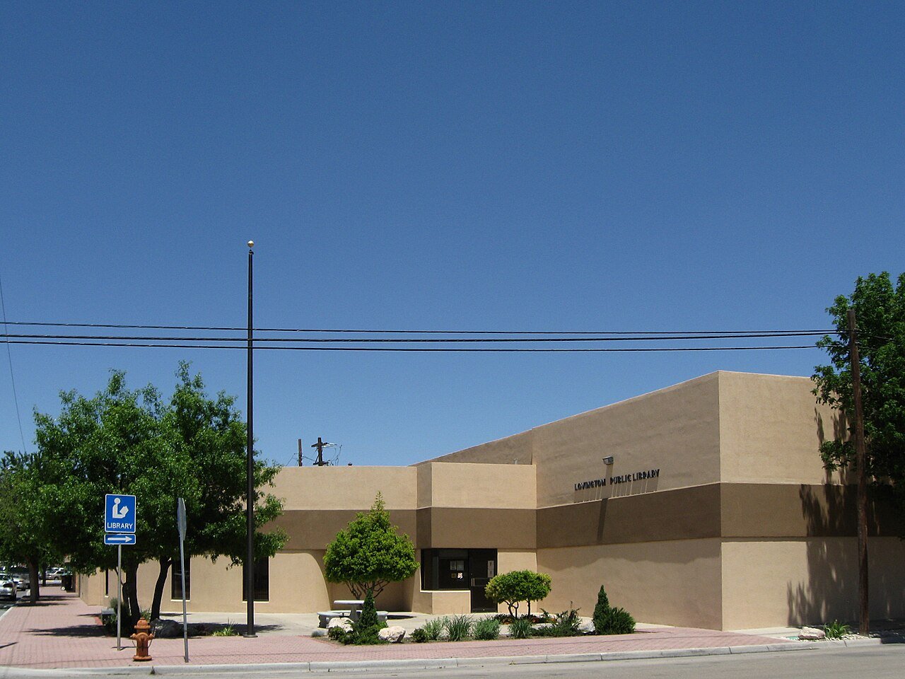
26 Lovington Lovington11,498 people 43.6 / sq mi 9.6% 86.2 mi
27 Rio Rancho Rio Rancho108,515 people 42.5 / sq mi 15.9% 798.9 mi
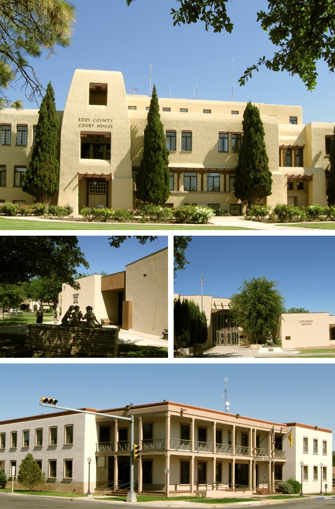
28 Carlsbad Carlsbad31,746 people 42.1 / sq mi 16.5% 263.2 mi
29 Corrales Corrales8,555 people 40.5 / sq mi 43.7% 132.0 mi
30 Ruidoso Downs Ruidoso Downs2,655 people 40.2 / sq mi 19.6% 29.7 mi
31 Peralta Peralta3,404 people 39.5 / sq mi 39.9% 43.3 mi
32 Gallup Gallup21,023 people 38.1 / sq mi 23.7% 146.9 mi
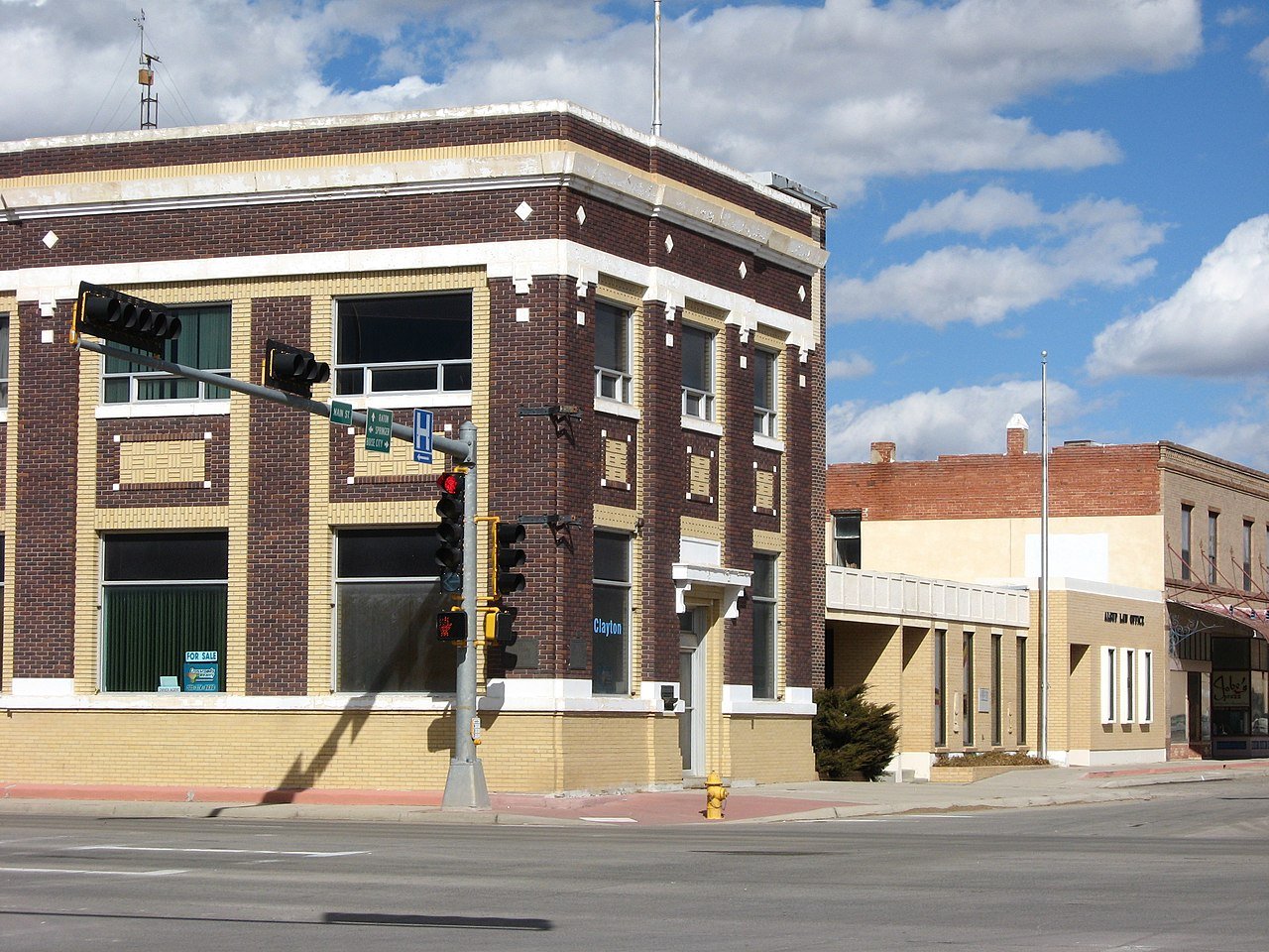
33 Clayton Clayton2,753 people 34.9 / sq mi 9.9% 45.2 mi
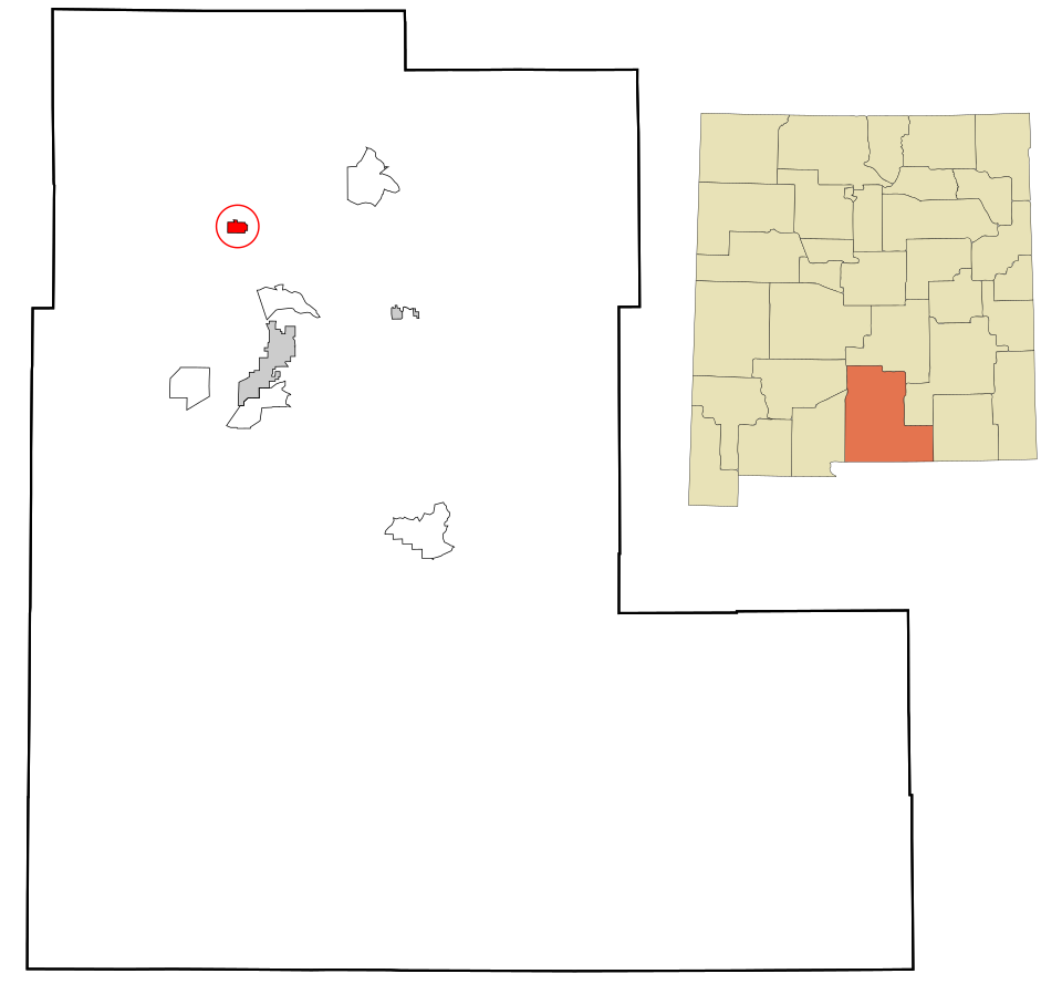
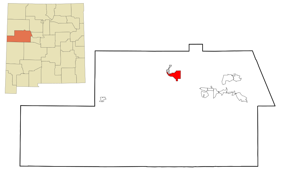
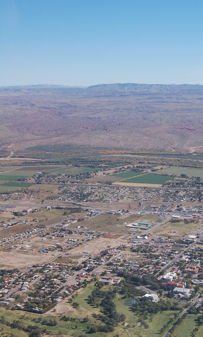
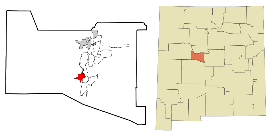
34 Map of Rio Communities Rio Communities4,925 people 34.2 / sq mi 25.8% 51.0 mi
35 Sunland Park Sunland Park17,463 people 33.8 / sq mi 23.4% 97.8 mi
36 Map of Grants Grants8,951 people 33.4 / sq mi 17.9% 79.3 mi
37 Socorro Socorro8,481 people 32.8 / sq mi 16.8% 91.8 mi
38 Map of Belen Belen7,450 people 23.9 / sq mi 20.5% 79.9 mi
39 Truth or Consequences Truth or Consequences6,019 people 20.6 / sq mi 14.8% 101.0 mi
40 Aztec Aztec6,150 people 18.8 / sq mi 24.3% 65.3 mi
41 Bloomfield Bloomfield7,395 people 18.5 / sq mi 26.1% 74.4 mi
42 Placitas Placitas4,223 people 15.3 / sq mi 44.9% 135.9 mi
43 Map of Edgewood Edgewood6,124 people 8.1 / sq mi 35.5% 161.2 mi

How this ranking works

We rank every town by street connectivity: intersections per square mile, the standard walkability measure the EPA uses. More intersections mean shorter, more direct walks, while cul-de-sac layouts with long dead ends rank lower. Sidewalks are not mapped consistently enough to rank, so this measures the street grid itself. The town with the highest figure ranks #1.

Only towns with at least 2,500 residents are ranked; Census estimates for smaller places are too uncertain. Population and income: U.S. Census Bureau American Community Survey 5-year estimates. Trails, streets and parks: © OpenStreetMap contributors (ODbL). Conserved land: USGS PAD-US. Measured within each town's Census boundary. Town photos: Wikimedia Commons, credited on each town’s page.

Same ranking in other states