INIndiana rankings

Most walkable towns in Indiana

Ranked by street connectivity: intersections per square mile, the standard walkability measure the EPA uses. 40 towns with 2,500+ residents.
U.S. Census ACS 2020–2024 5-year

#TownIntersections per sq miDead endsStreet miles
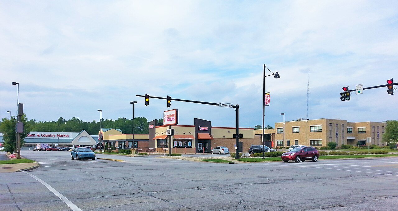
1 Jeffersonville JeffersonvilleClark County · 62,645 people 83.3 / sq mi 21.9% 353.6 mi
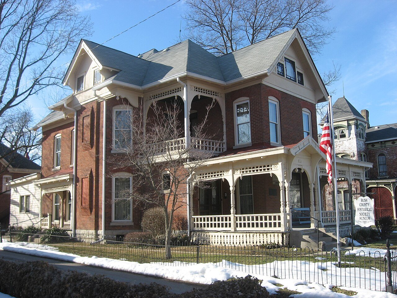
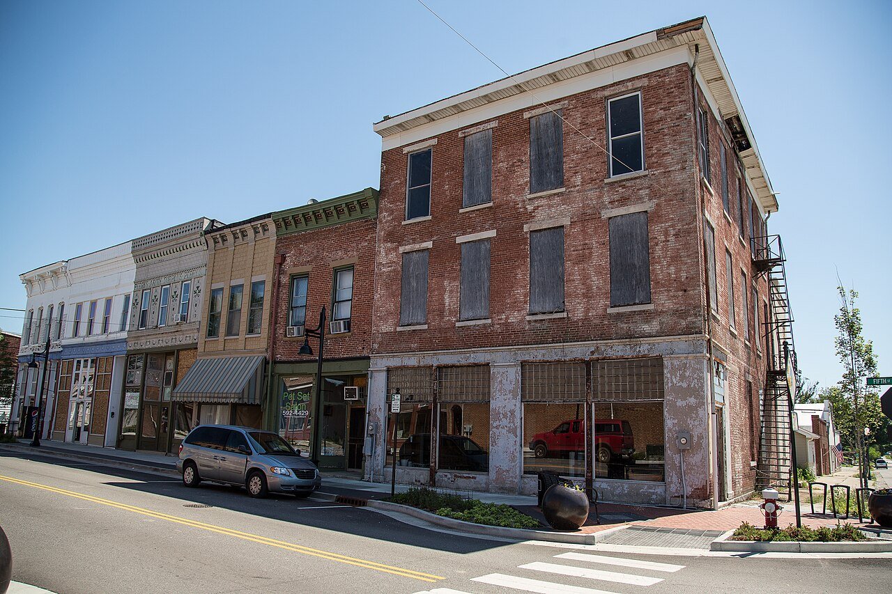
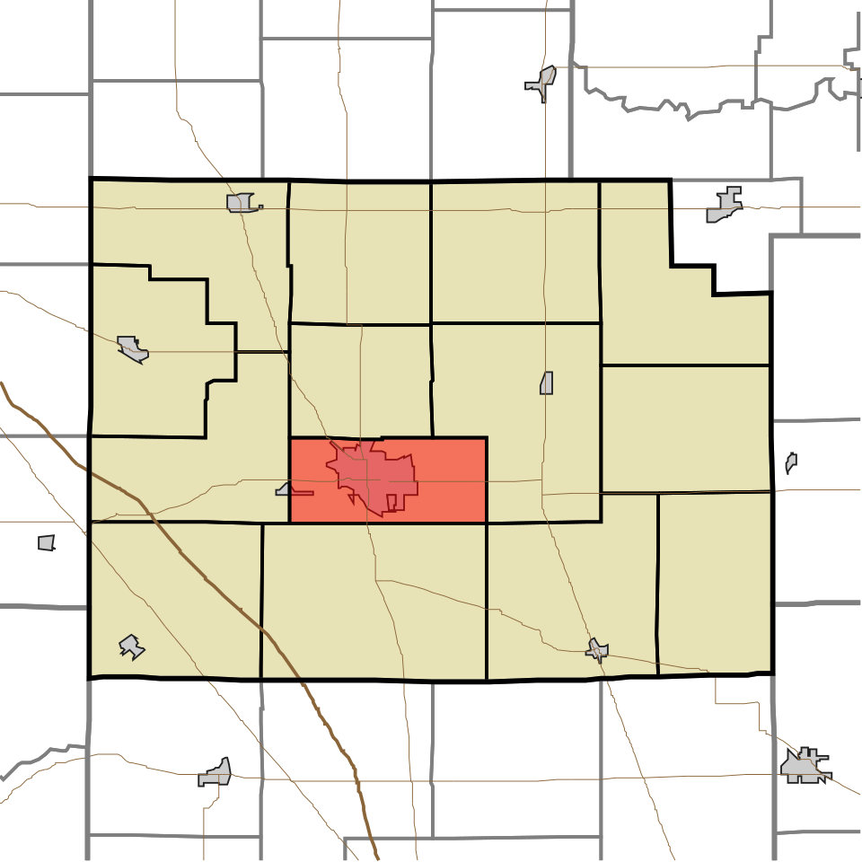
2 Rushville Rushville6,036 people 79.2 / sq mi 13.6% 41.8 mi
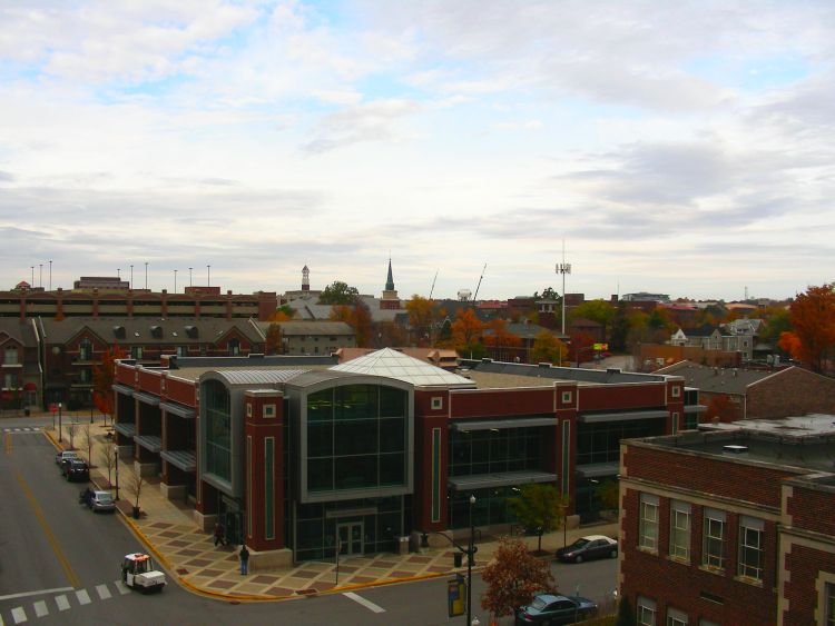
3 West Lafayette West Lafayette45,159 people 64.5 / sq mi 17.1% 141.7 mi
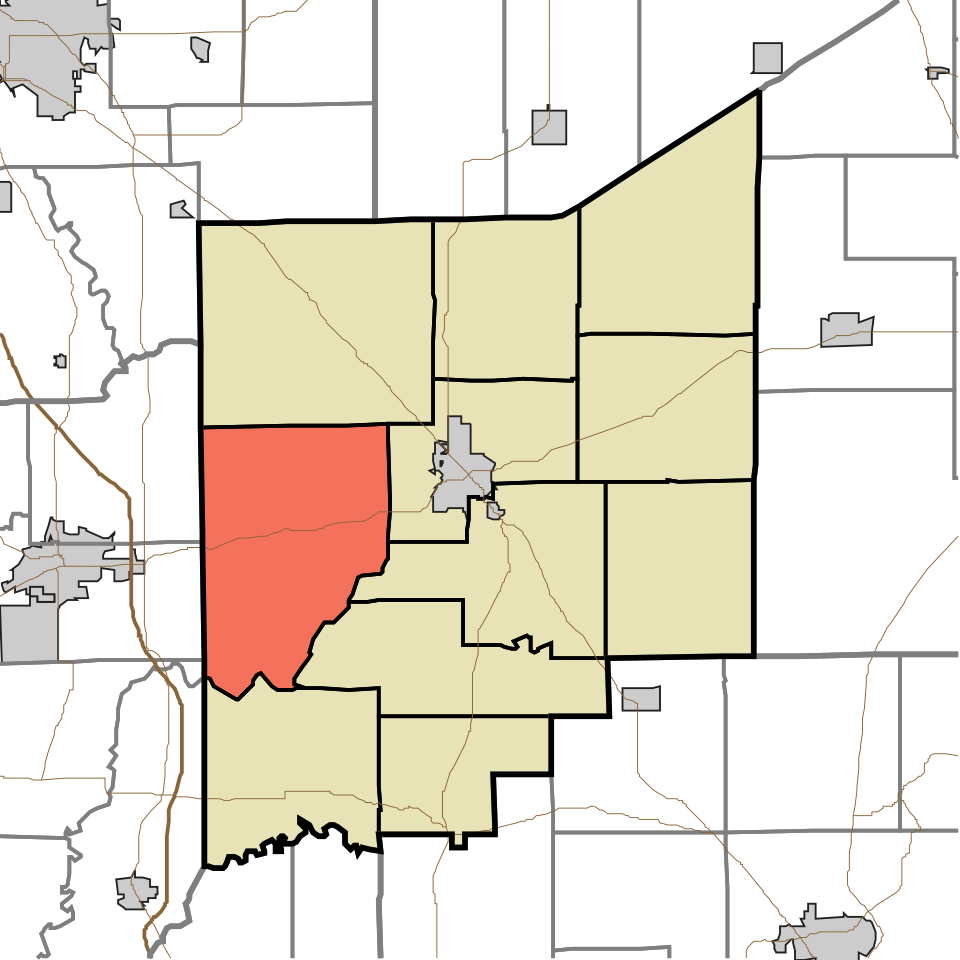
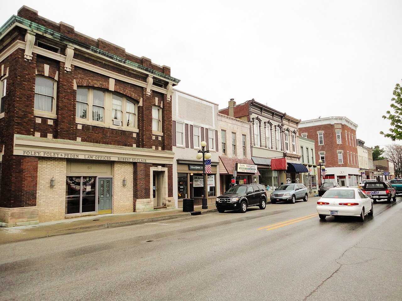
4 Martinsville Martinsville11,933 people 58.4 / sq mi 13.5% 85.4 mi
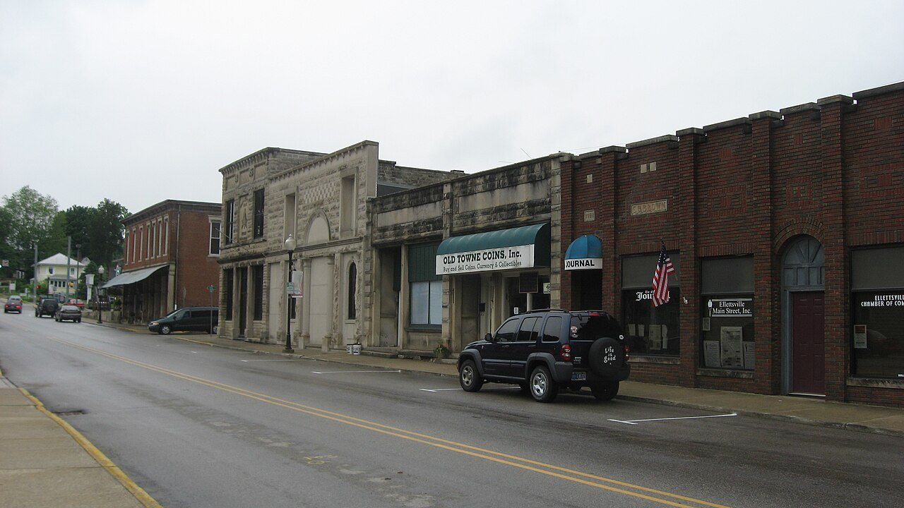
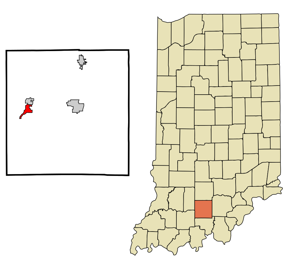
5 Ellettsville Ellettsville6,698 people 58.1 / sq mi 32.8% 44.3 mi
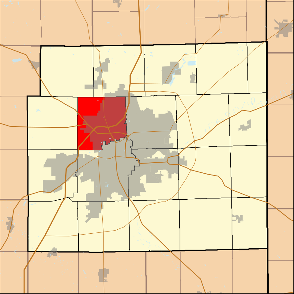
6 Map of Noblesville NoblesvilleHamilton County · 66,553 people 50.4 / sq mi 21.4% 415.3 mi
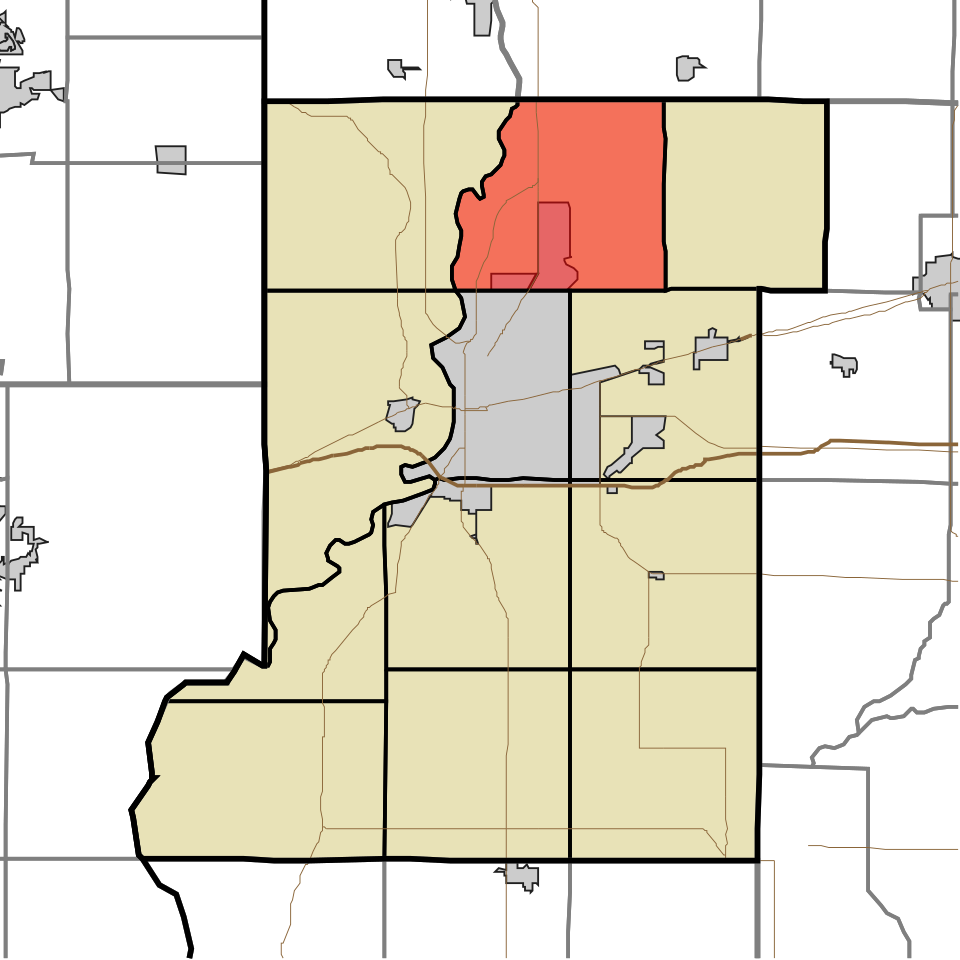
7 Map of Washington WashingtonAllen County · 39,192 people 45.5 / sq mi 26.4% 279.9 mi
8 Portage PortagePorter County · 48,418 people 41.5 / sq mi 23.1% 302.3 mi
9 North Vernon North Vernon7,078 people 37.9 / sq mi 26.1% 56.8 mi
10 Map of Lawrenceburg Lawrenceburg5,179 people 31.4 / sq mi 29.7% 34.2 mi
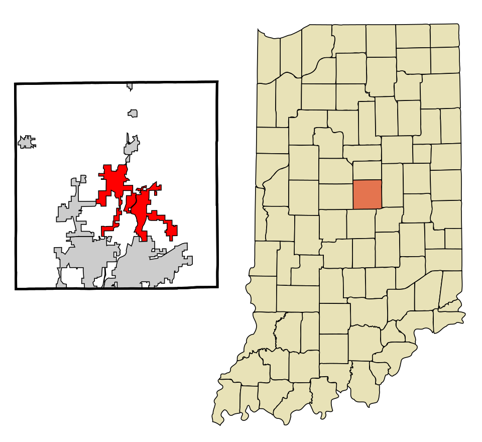
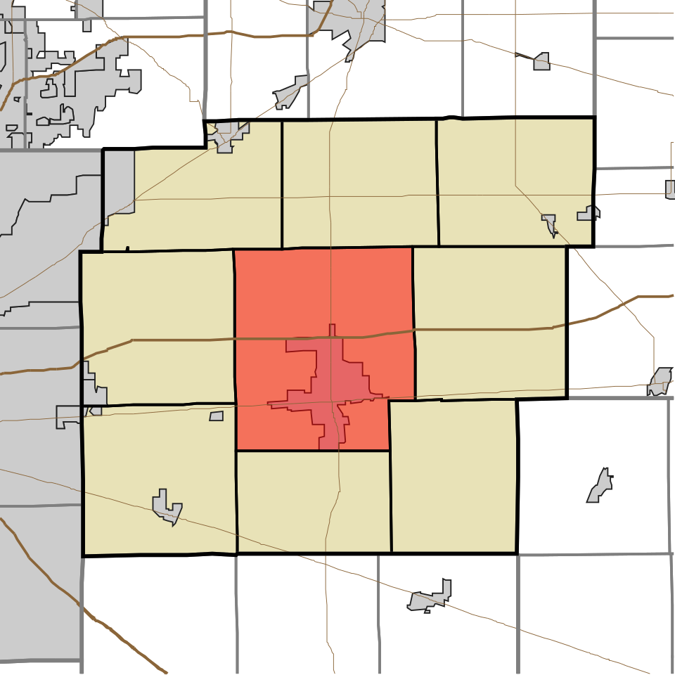
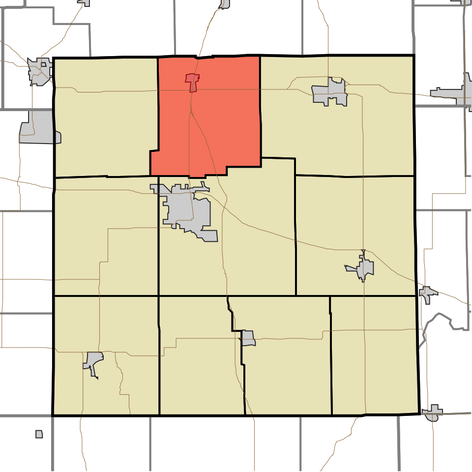
11 Map of Center CenterClinton County · 17,428 people 28.5 / sq mi 11.8% 121.8 mi
12 Map of Vernon VernonHancock County · 17,158 people 25.4 / sq mi 18.7% 181.6 mi
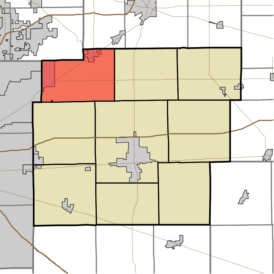
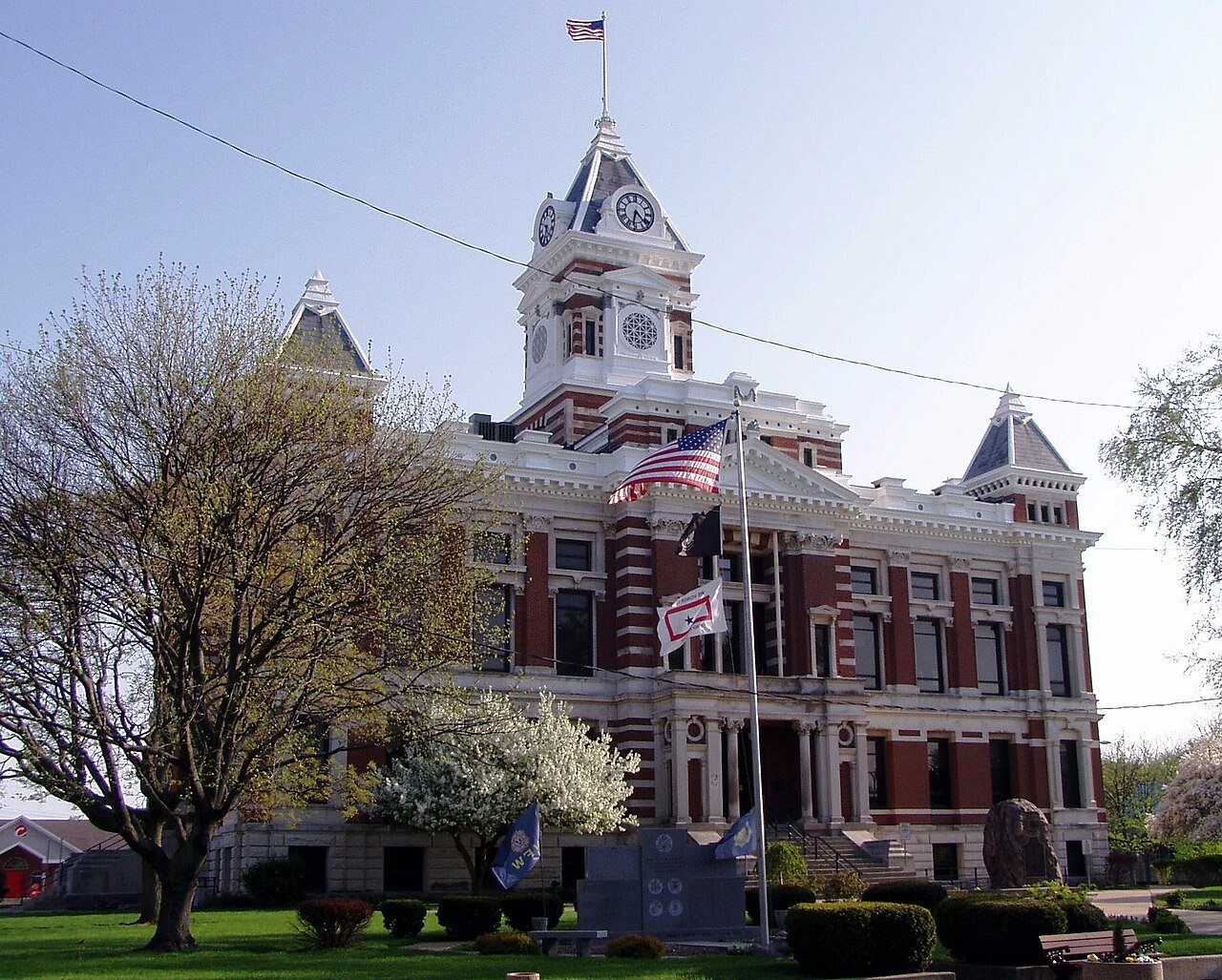
13 Franklin FranklinJohnson County · 21,569 people 24.6 / sq mi 17.9% 173.2 mi
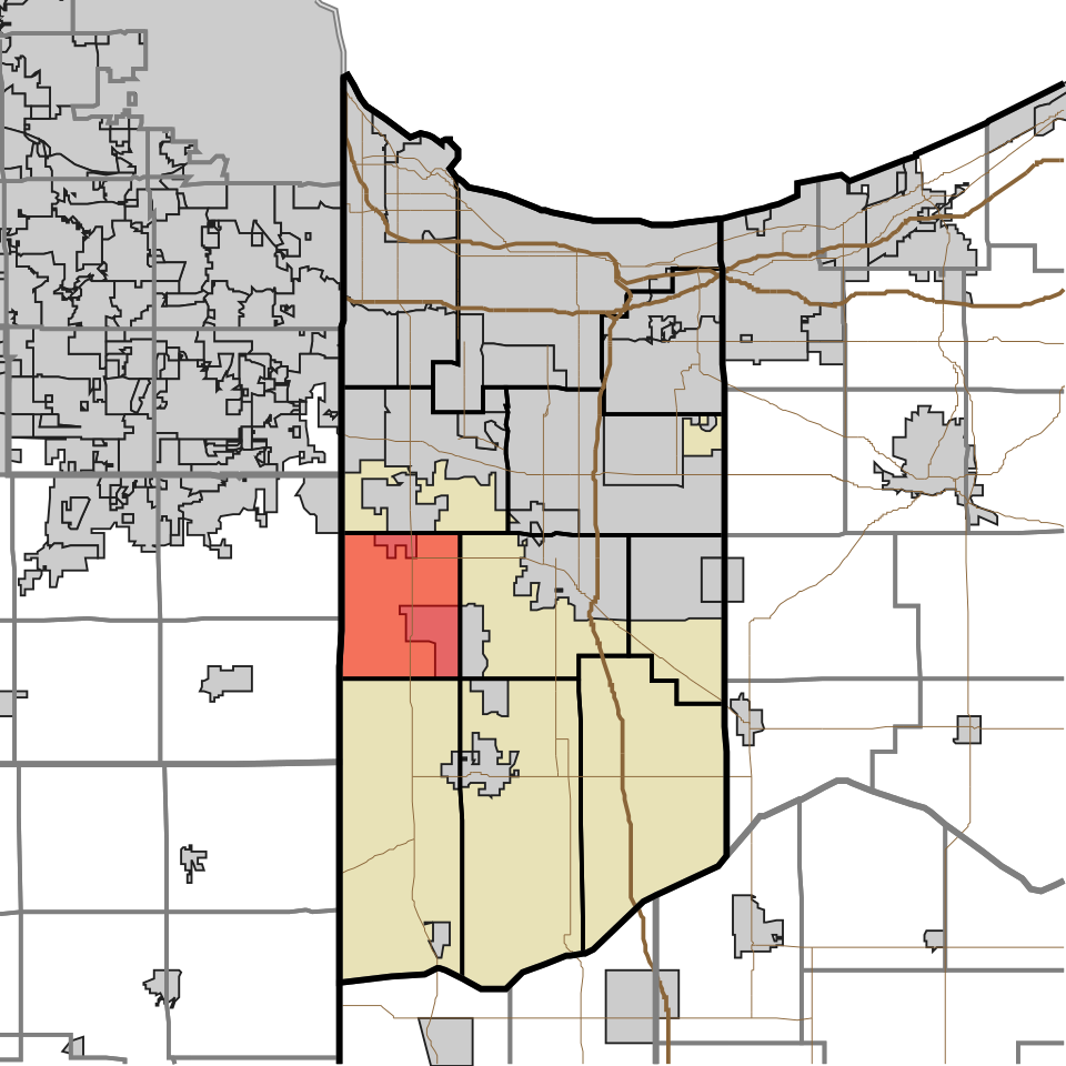
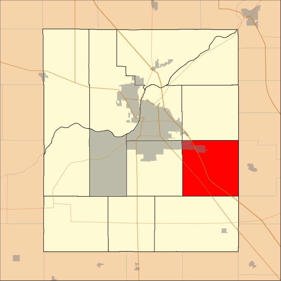
14 Map of Hanover HanoverLake County · 19,712 people 24.2 / sq mi 23.8% 155.1 mi
15 Map of Honey Creek Honey CreekVigo County · 17,366 people 23.0 / sq mi 21.7% 186.7 mi
16 Map of Center CenterHancock County · 30,217 people 21.4 / sq mi 19.6% 244.1 mi
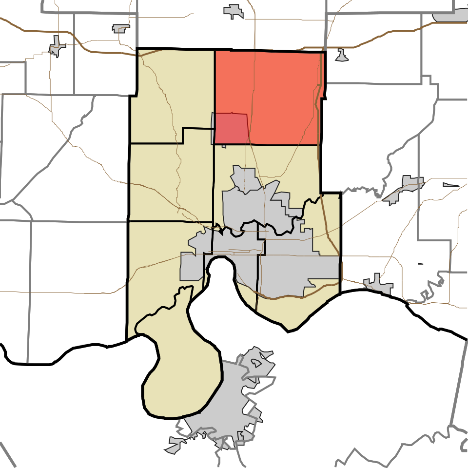
17 Map of Otter Creek Otter CreekVigo County · 8,987 people 10.7 / sq mi 21.5% 115.6 mi
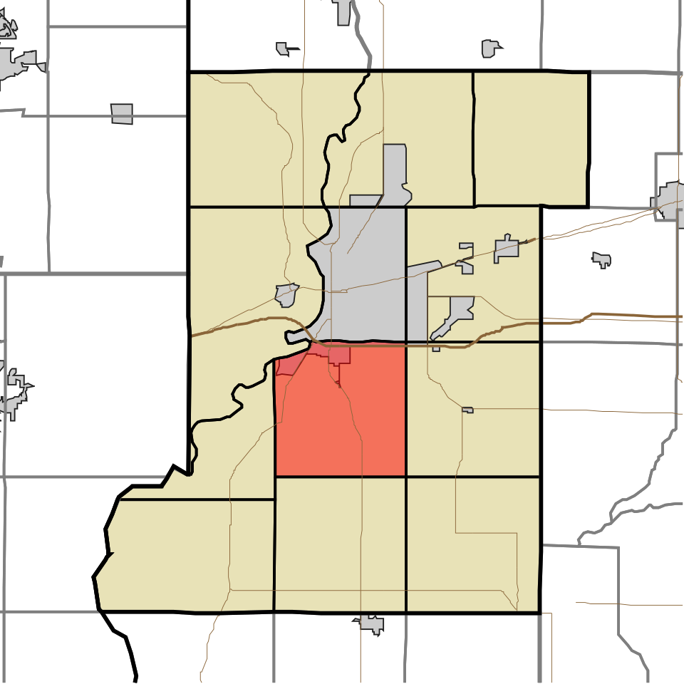
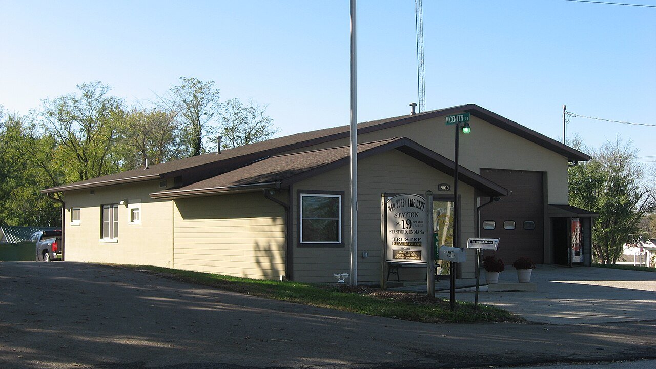
18 Van Buren Van BurenMonroe County · 12,850 people 10.6 / sq mi 29.2% 116.5 mi
19 Map of Scott ScottVanderburgh County · 10,440 people 9.7 / sq mi 29.2% 145.6 mi
20 JacksonHamilton County · 11,201 people 9.0 / sq mi 19.1% 198.8 mi
21 Noble NobleWabash County · 13,785 people 8.6 / sq mi 17.4% 241.7 mi
22 Map of French Lick French LickOrange County · 4,587 people 7.9 / sq mi 18.6% 153.8 mi
23 Ferdinand FerdinandDubois County · 3,617 people 7.5 / sq mi 25.7% 100.1 mi
24 Map of Wayne WayneHenry County · 4,134 people 7.4 / sq mi 13.7% 104.8 mi
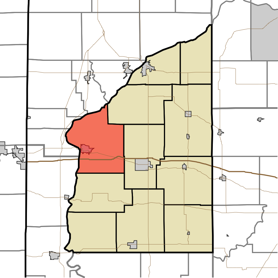
25 Map of Marion MarionJasper County · 6,654 people 7.3 / sq mi 7.5% 126.6 mi
26 Map of Scipio ScipioLaPorte County · 5,139 people 6.4 / sq mi 13.9% 87.1 mi
27 Map of Center CenterWayne County · 7,378 people 6.0 / sq mi 20.6% 112.7 mi
28 Map of North NorthMarshall County · 4,032 people 5.7 / sq mi 17.1% 113.5 mi
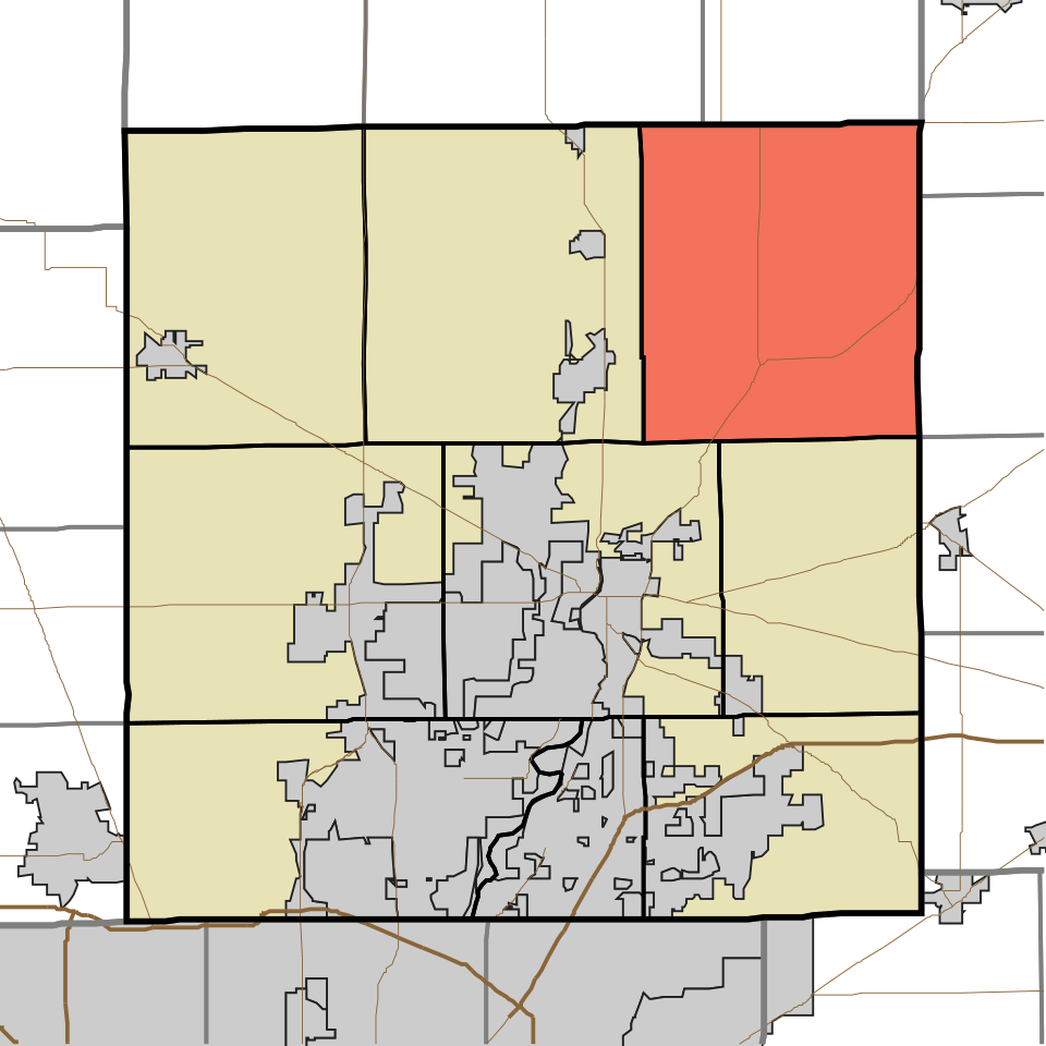
29 Map of Troy TroyFountain County · 3,740 people 5.7 / sq mi 19.6% 107.3 mi
30 Lancaster LancasterWells County · 6,122 people 5.2 / sq mi 22.3% 114.6 mi
31 Map of Sheffield SheffieldTippecanoe County · 3,966 people 5.2 / sq mi 28.2% 102.8 mi
32 Map of Pierce PierceWashington County · 2,501 people 4.7 / sq mi 32.7% 82.0 mi
33 Madison MadisonDubois County · 2,892 people 4.6 / sq mi 28.1% 87.4 mi
34 Lexington LexingtonScott County · 3,412 people 4.4 / sq mi 30.4% 116.2 mi
35 Brookville BrookvilleFranklin County · 5,737 people 4.3 / sq mi 22% 149.7 mi
36 Map of Adams AdamsMadison County · 3,990 people 3.4 / sq mi 19.6% 93.5 mi
37 Deer Creek Deer CreekMiami County · 4,702 people 2.8 / sq mi 12% 61.2 mi
38 Map of Spencer SpencerJennings County · 2,782 people 2.5 / sq mi 22.1% 107.8 mi
39 Map of White River White RiverHamilton County · 2,519 people 2.5 / sq mi 7.3% 132.5 mi
40 Benton BentonMonroe County · 3,261 people 1.7 / sq mi 42% 95.1 mi

How this ranking works

We rank every town by street connectivity: intersections per square mile, the standard walkability measure the EPA uses. More intersections mean shorter, more direct walks, while cul-de-sac layouts with long dead ends rank lower. Sidewalks are not mapped consistently enough to rank, so this measures the street grid itself. The town with the highest figure ranks #1.

Only towns with at least 2,500 residents are ranked; Census estimates for smaller places are too uncertain. Population and income: U.S. Census Bureau American Community Survey 5-year estimates. Trails, streets and parks: © OpenStreetMap contributors (ODbL). Conserved land: USGS PAD-US. Measured within each town's Census boundary. Town photos: Wikimedia Commons, credited on each town’s page.

Same ranking in other states