VTVermont rankings

Most walkable towns in Vermont

Ranked by street connectivity: intersections per square mile, the standard walkability measure the EPA uses. 74 towns with 2,500+ residents.
U.S. Census ACS 2020–2024 5-year

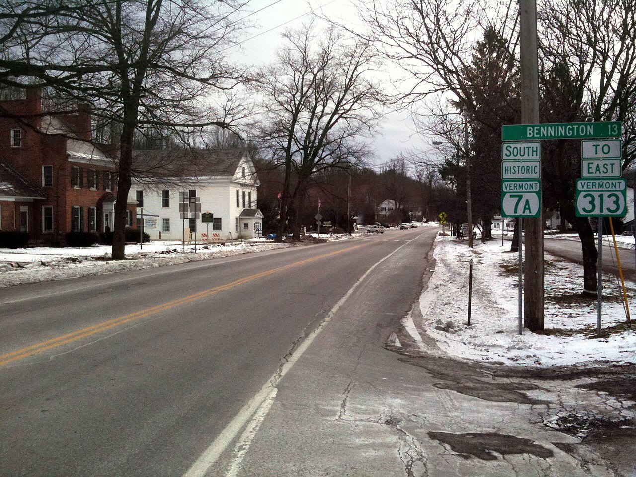
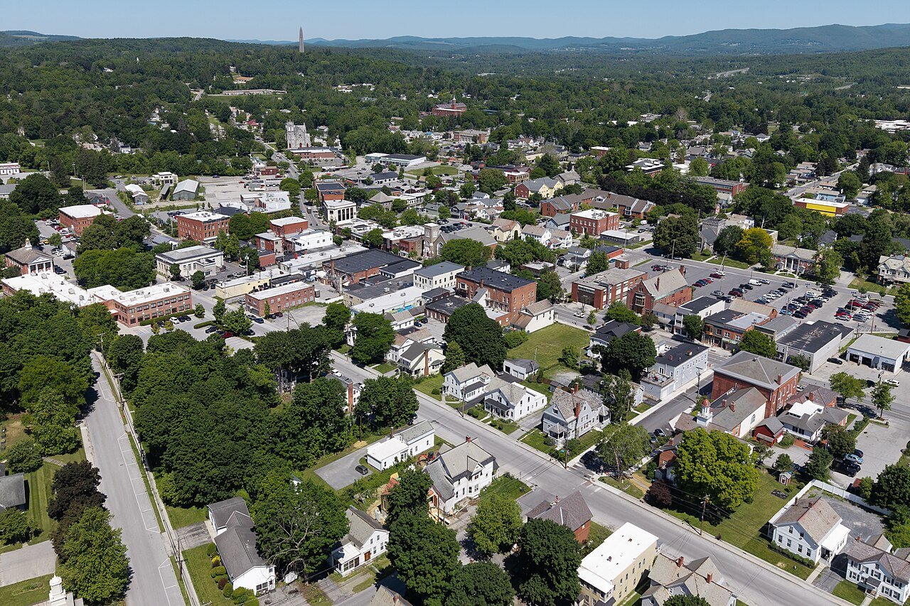
Bennington
Vermont · Most walkable

Where Bennington lands: #17 of 74

13.6 / sq mi street intersections per square mile · Visit Bennington →
#TownIntersections per sq miDead endsStreet miles
1 Swanton2,670 people 114 / sq mi 20.5% 10.4 mi
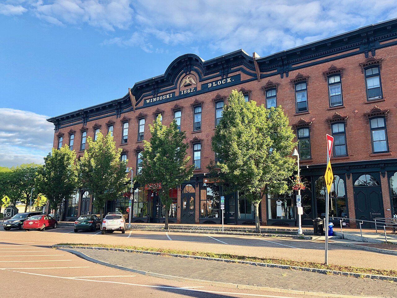
2 Winooski Winooski8,293 people 101 / sq mi 20.9% 18.6 mi
3 BarreWashington County · 8,412 people 99.9 / sq mi 25.6% 55.0 mi
4 St. AlbansFranklin County · 6,954 people 85.4 / sq mi 18.2% 26.1 mi
5 Bellows Falls Bellows Falls2,891 people 79.5 / sq mi 23.1% 15.5 mi
6 Rutland15,712 people 66.0 / sq mi 19% 83.0 mi
7 Essex Junction Essex Junction10,803 people 47.8 / sq mi 19.6% 40.5 mi
8 Burlington Burlington44,675 people 46.7 / sq mi 16.3% 115.3 mi
9 Morrisville Morrisville2,664 people 45.5 / sq mi 29.7% 17.0 mi
10 Vergennes Vergennes2,565 people 37.7 / sq mi 24% 16.3 mi
11 Newport4,394 people 30.9 / sq mi 31% 44.9 mi
12 Montpelier Montpelier8,014 people 30.5 / sq mi 23.6% 56.9 mi
13 Map of South Burlington South Burlington20,756 people 19.6 / sq mi 18% 114.0 mi
14 Brattleboro BrattleboroWindham County · 12,122 people 14.4 / sq mi 23.2% 118.2 mi
15 Hartford HartfordWindsor County · 10,736 people 13.8 / sq mi 28.7% 181.5 mi
16 Williston WillistonChittenden County · 10,144 people 13.7 / sq mi 26.1% 118.4 mi
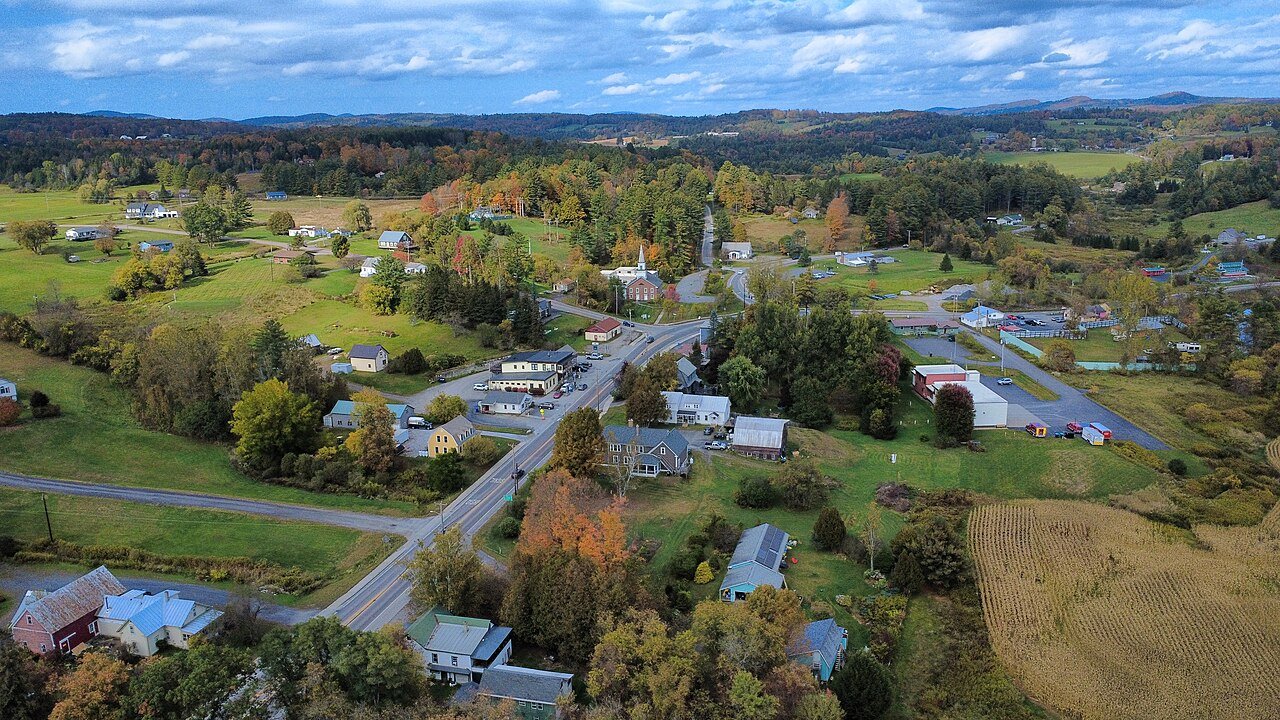
17 Bennington BenningtonBennington County · 15,249 people 13.6 / sq mi 28.5% 164.7 mi
18 RutlandRutland County · 3,927 people 11.2 / sq mi 33.1% 65.6 mi
19 Colchester ColchesterChittenden County · 17,648 people 10.6 / sq mi 26.6% 148.7 mi
20 Essex EssexChittenden County · 11,516 people 10.4 / sq mi 20% 112.5 mi
21 St. Johnsbury St. JohnsburyCaledonia County · 7,368 people 9.8 / sq mi 27.6% 117.9 mi
22 Springfield SpringfieldWindsor County · 9,084 people 9.3 / sq mi 19.5% 149.6 mi
23 Manchester ManchesterBennington County · 4,486 people 9.3 / sq mi 33.9% 113.2 mi
24 Middlebury MiddleburyAddison County · 9,175 people 8.1 / sq mi 24% 95.1 mi
25 Windsor WindsorWindsor County · 3,554 people 7.8 / sq mi 31.5% 50.5 mi
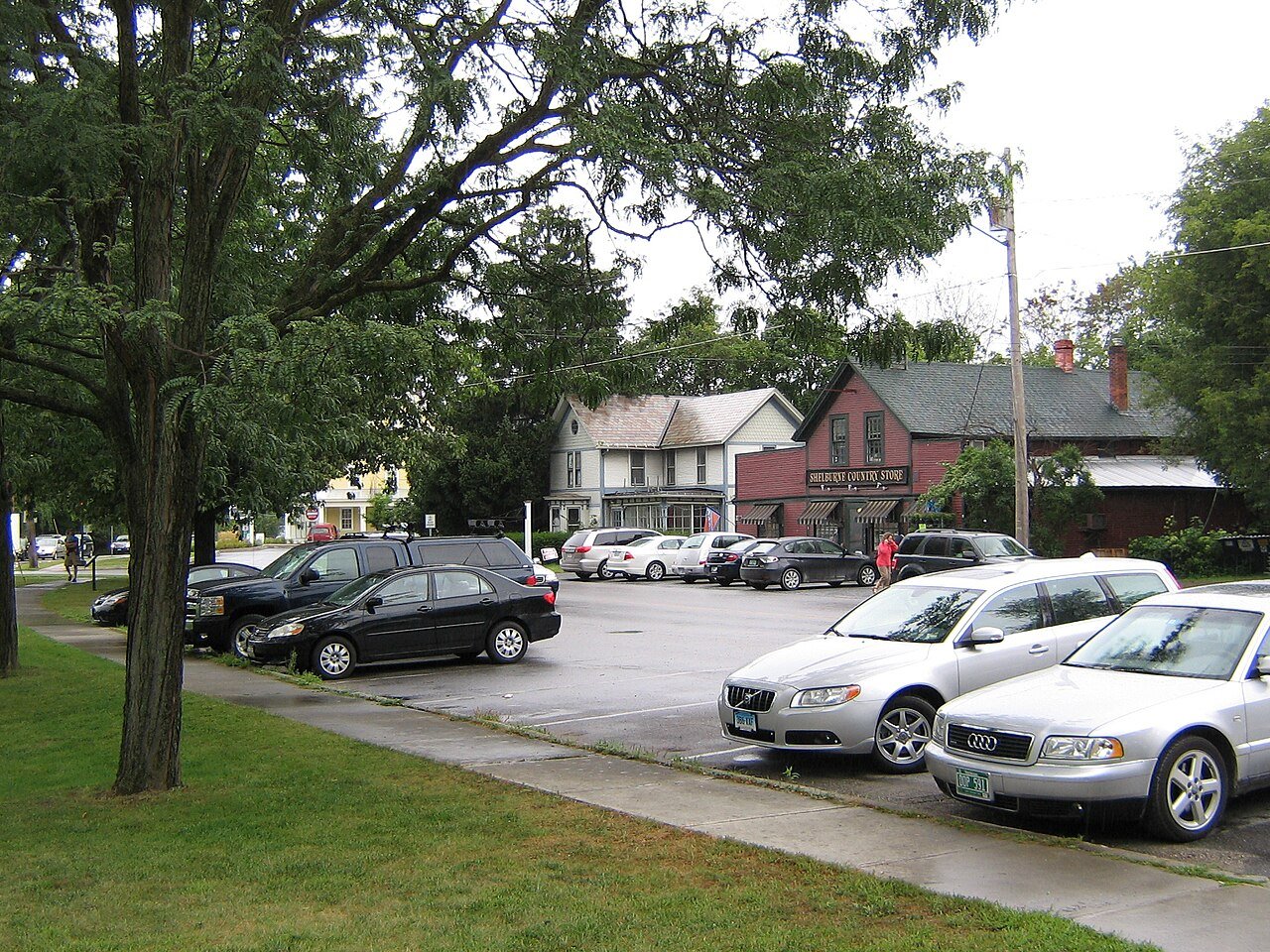
26 Shelburne ShelburneChittenden County · 7,969 people 7.6 / sq mi 31.9% 98.1 mi
27 Lyndon LyndonCaledonia County · 5,590 people 7.1 / sq mi 35.6% 115.1 mi
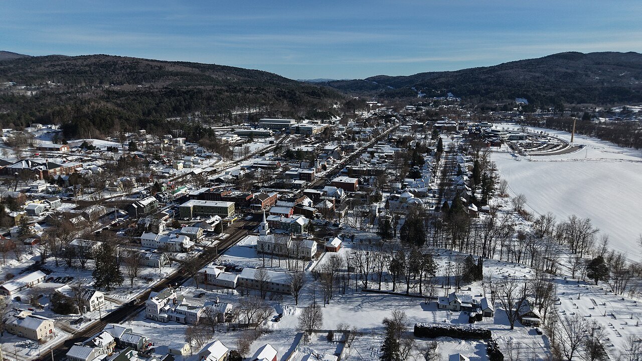
28 Fair Haven Fair HavenRutland County · 2,724 people 7.1 / sq mi 28.5% 38.0 mi
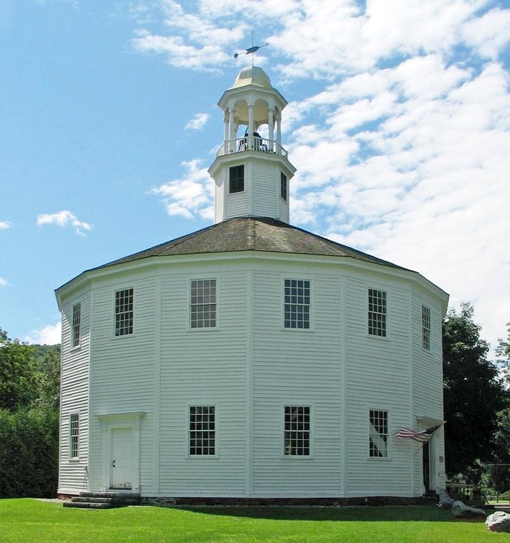
29 Milton MiltonChittenden County · 10,769 people 6.7 / sq mi 33.9% 140.5 mi
30 Woodstock WoodstockWindsor County · 3,027 people 6.3 / sq mi 29.4% 114.8 mi
31 Map of Rockingham RockinghamWindham County · 4,807 people 6.1 / sq mi 29.2% 100.9 mi
32 Morristown MorristownLamoille County · 5,722 people 5.8 / sq mi 33.3% 124.9 mi
33 Fairfax FairfaxFranklin County · 5,226 people 5.6 / sq mi 37.8% 103.2 mi
34 Hinesburg HinesburgChittenden County · 4,718 people 5.6 / sq mi 39.7% 95.2 mi
35 Randolph RandolphOrange County · 4,843 people 5.5 / sq mi 26.4% 120.4 mi
36 Northfield NorthfieldWashington County · 5,920 people 5.4 / sq mi 33.7% 95.3 mi
37 Castleton CastletonRutland County · 4,453 people 5.4 / sq mi 37.1% 86.3 mi
38 Westminster WestminsterWindham County · 2,999 people 5.4 / sq mi 39.7% 110.1 mi
39 Jericho JerichoChittenden County · 5,114 people 5.3 / sq mi 35.7% 85.4 mi
40 Putney PutneyWindham County · 2,622 people 5.1 / sq mi 34.1% 69.0 mi
41 Berlin BerlinWashington County · 2,880 people 5.0 / sq mi 35.4% 83.2 mi
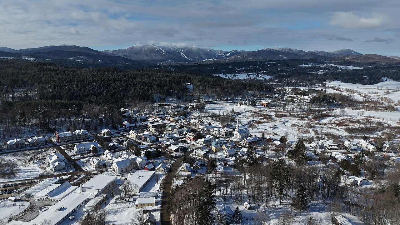
42 Stowe StoweLamoille County · 5,285 people 4.8 / sq mi 40.4% 156.4 mi
43 Bradford BradfordOrange County · 2,827 people 4.8 / sq mi 31.3% 73.5 mi
44 Waterbury WaterburyWashington County · 5,405 people 4.7 / sq mi 39.2% 91.3 mi
45 Weathersfield WeathersfieldWindsor County · 2,856 people 4.7 / sq mi 30.8% 109.3 mi
46 Hyde ParkLamoille County · 3,000 people 4.6 / sq mi 36.1% 87.7 mi
47 Hardwick HardwickCaledonia County · 2,965 people 4.6 / sq mi 28.9% 85.3 mi
48 SwantonFranklin County · 6,820 people 4.4 / sq mi 28.1% 106.8 mi
49 Richmond RichmondChittenden County · 4,159 people 4.4 / sq mi 39.3% 72.2 mi
50 Pownal PownalBennington County · 3,265 people 4.4 / sq mi 37.4% 97.9 mi
51 Derby DerbyOrleans County · 4,537 people 4.3 / sq mi 31.5% 119.5 mi
52 Brandon BrandonRutland County · 4,120 people 4.3 / sq mi 27% 83.7 mi
53 Pittsford PittsfordRutland County · 2,892 people 4.3 / sq mi 35.8% 77.3 mi
54 Map of Charlotte CharlotteChittenden County · 3,916 people 4.2 / sq mi 37.8% 113.6 mi
55 Royalton RoyaltonWindsor County · 2,752 people 4.2 / sq mi 36.3% 93.2 mi
56 Cambridge CambridgeLamoille County · 3,767 people 4.1 / sq mi 39.7% 120.1 mi
57 Hartland HartlandWindsor County · 3,460 people 4.1 / sq mi 35.1% 112.6 mi
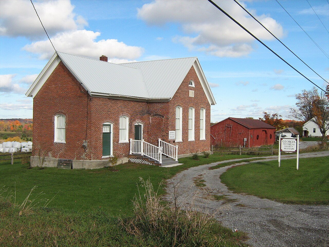
58 Georgia GeorgiaFranklin County · 4,890 people 4.0 / sq mi 31.8% 86.9 mi
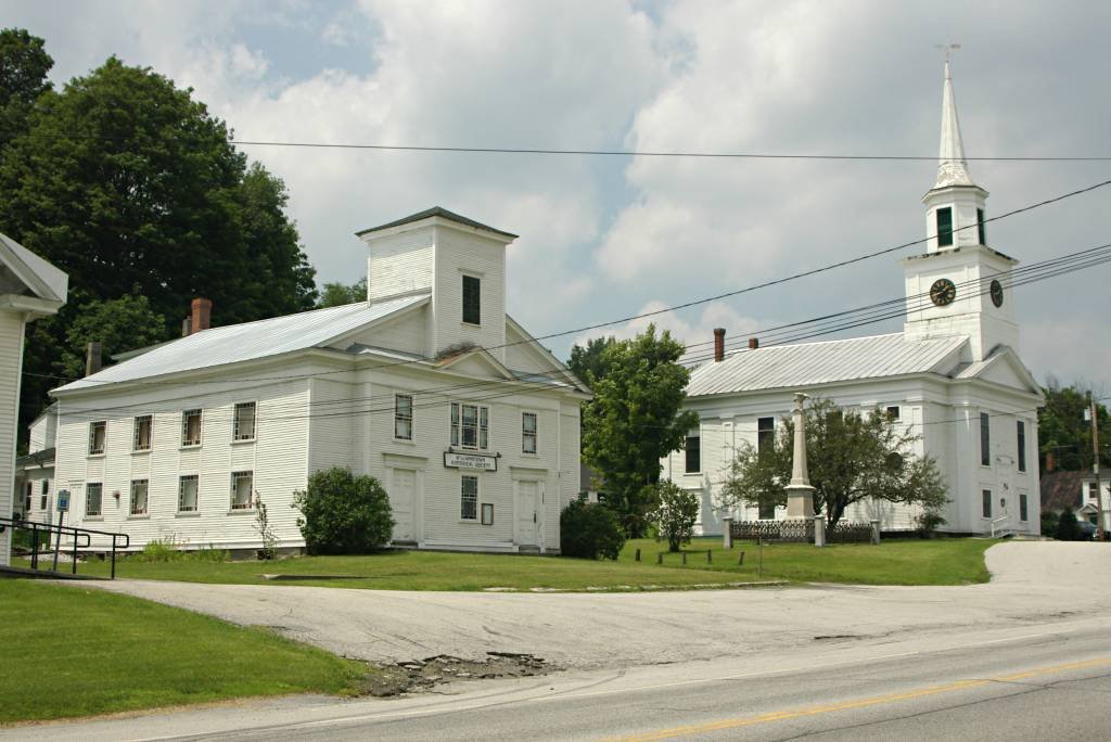
59 Williamstown WilliamstownOrange County · 3,579 people 4.0 / sq mi 32.1% 92.4 mi
60 East Montpelier East MontpelierWashington County · 2,612 people 4.0 / sq mi 28.5% 82.9 mi
61 Shaftsbury ShaftsburyBennington County · 3,607 people 3.9 / sq mi 33.5% 103.4 mi
62 Arlington ArlingtonBennington County · 2,598 people 3.9 / sq mi 34.3% 66.0 mi
63 Norwich NorwichWindsor County · 3,640 people 3.8 / sq mi 36.4% 102.0 mi
64 Poultney PoultneyRutland County · 3,010 people 3.8 / sq mi 32.7% 86.4 mi
65 Chester ChesterWindsor County · 2,992 people 3.8 / sq mi 29.5% 116.0 mi
66 Barton BartonOrleans County · 2,815 people 3.8 / sq mi 27.5% 88.3 mi
67 Ferrisburgh FerrisburghAddison County · 2,661 people 3.8 / sq mi 34.7% 114.8 mi
68 Bristol BristolAddison County · 3,778 people 3.7 / sq mi 35.9% 65.6 mi
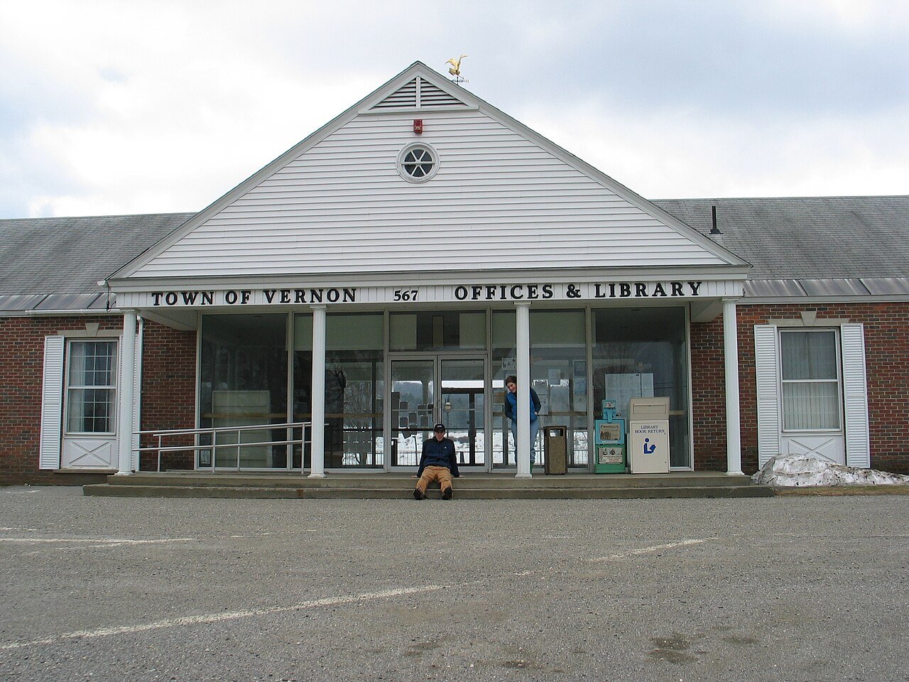
69 Vernon VernonWindham County · 2,709 people 3.6 / sq mi 37.4% 37.8 mi
70 Map of Highgate HighgateFranklin County · 3,528 people 3.4 / sq mi 36.1% 96.6 mi
71 Thetford ThetfordOrange County · 2,813 people 3.4 / sq mi 35.7% 91.2 mi
72 Johnson JohnsonLamoille County · 3,450 people 3.1 / sq mi 37.7% 74.7 mi
73 Enosburgh EnosburghFranklin County · 2,804 people 2.6 / sq mi 23.8% 88.4 mi
74 Underhill UnderhillChittenden County · 3,141 people 2.2 / sq mi 42.9% 71.6 mi

How this ranking works

We rank every town by street connectivity: intersections per square mile, the standard walkability measure the EPA uses. More intersections mean shorter, more direct walks, while cul-de-sac layouts with long dead ends rank lower. Sidewalks are not mapped consistently enough to rank, so this measures the street grid itself. The town with the highest figure ranks #1.

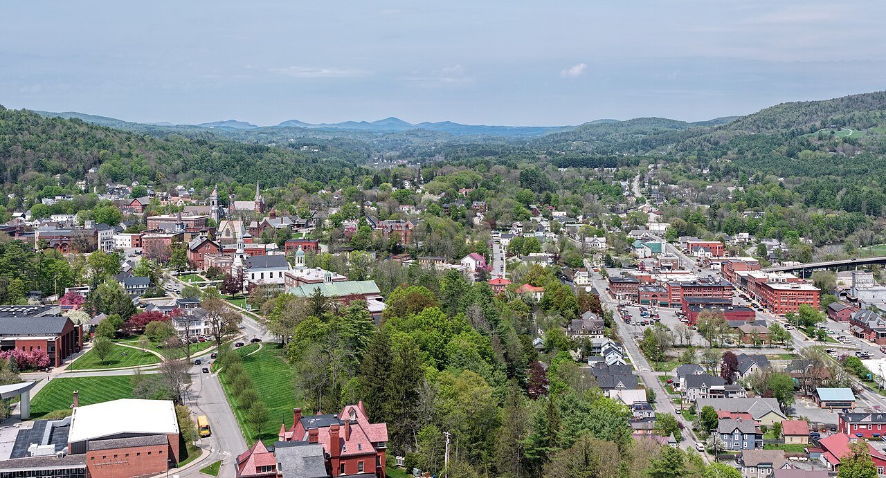
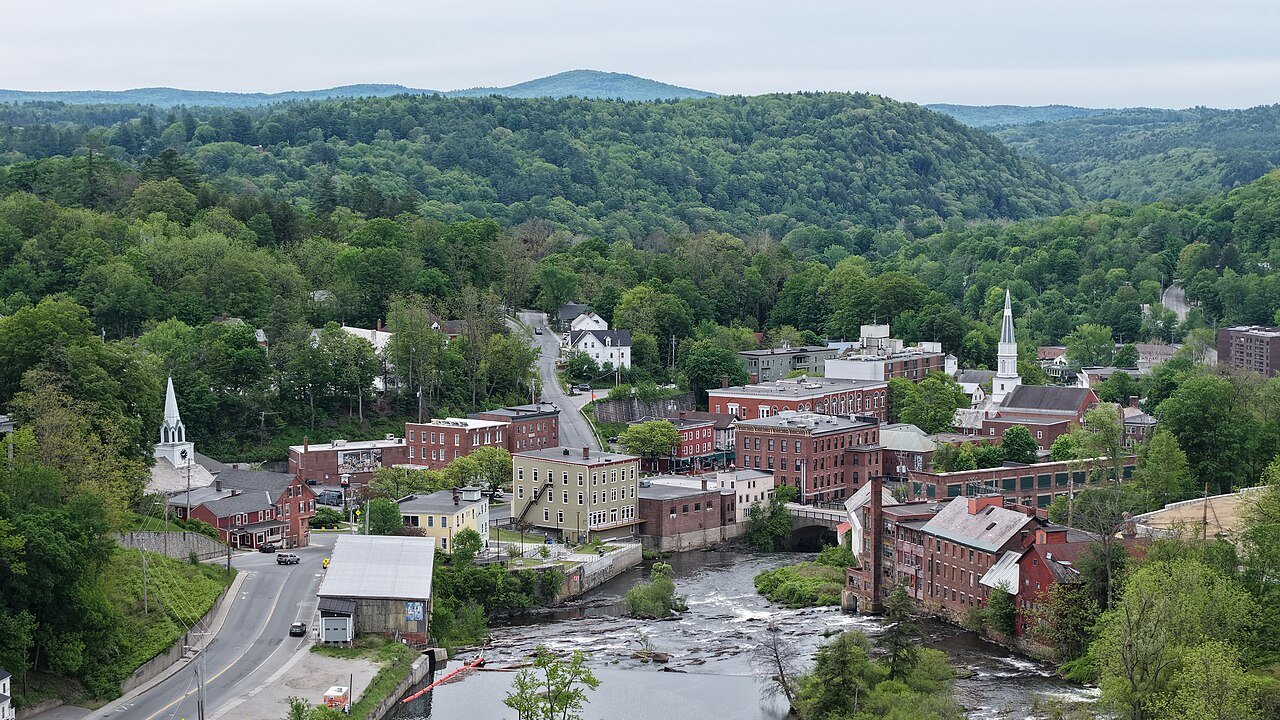
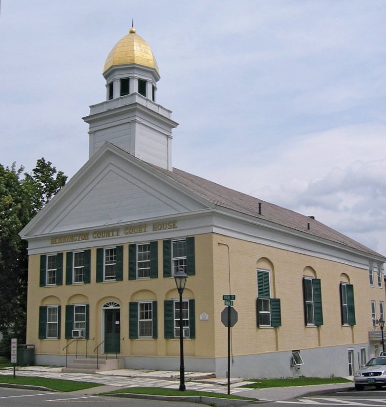
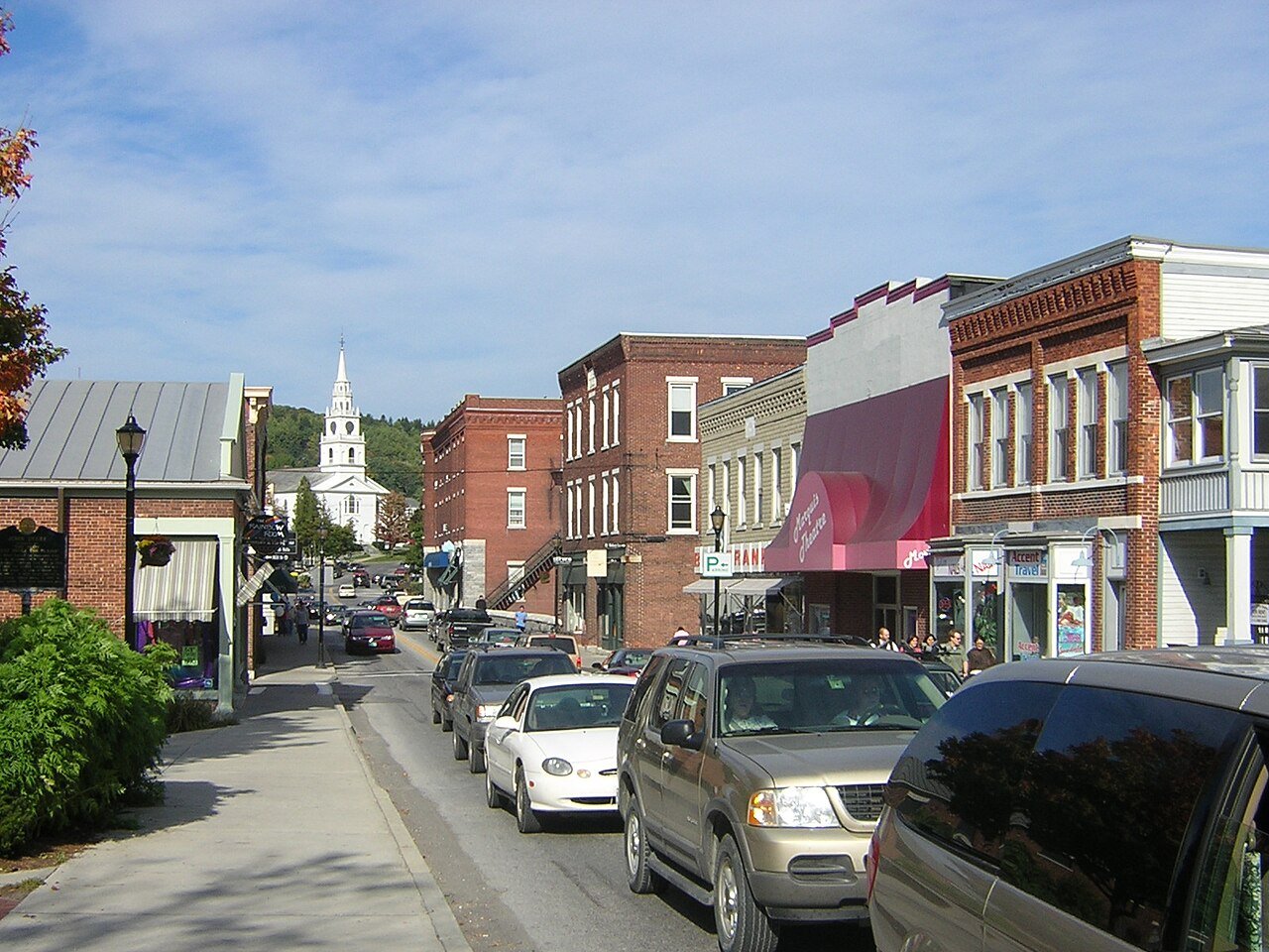
Only towns with at least 2,500 residents are ranked; Census estimates for smaller places are too uncertain. Population and income: U.S. Census Bureau American Community Survey 5-year estimates. Trails, streets and parks: © OpenStreetMap contributors (ODbL). Conserved land: USGS PAD-US. Measured within each town's Census boundary. Town photos: Wikimedia Commons, credited on each town’s page.

Same ranking in other states