AKAlaska rankings

Most walkable towns in Alaska

Ranked by street connectivity: intersections per square mile, the standard walkability measure the EPA uses. 41 towns with 2,500+ residents.
U.S. Census ACS 2020–2024 5-year

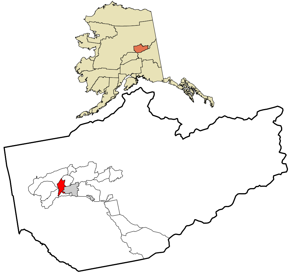
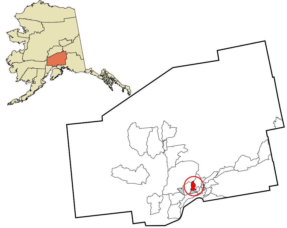
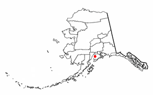
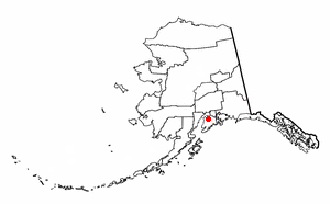
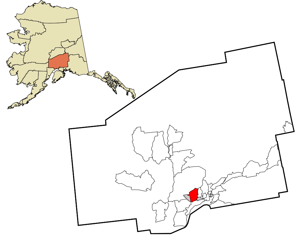
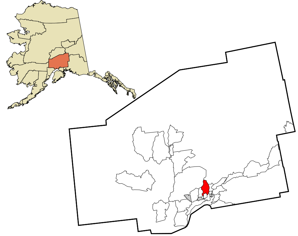
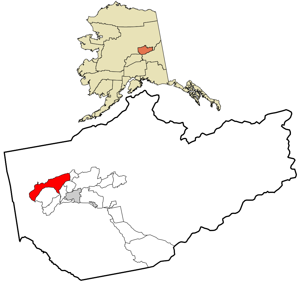
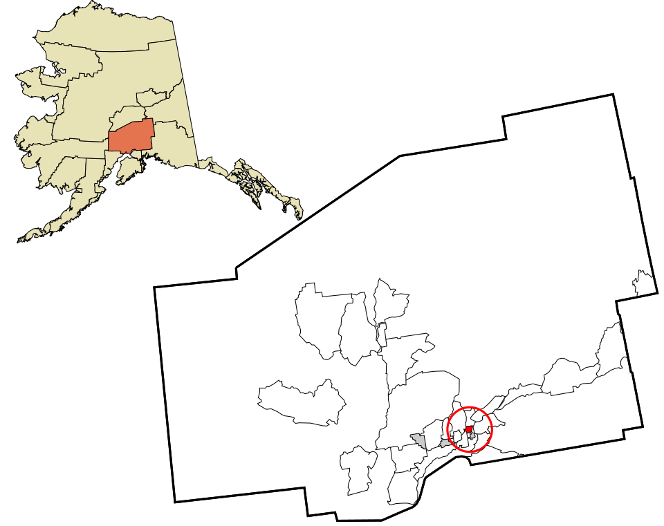
Map of Farm Loop
Alaska · Most walkable

Where Farm Loop lands: #14 of 41

13.2 / sq mi street intersections per square mile · Visit Farm Loop →
#TownIntersections per sq miDead endsStreet miles
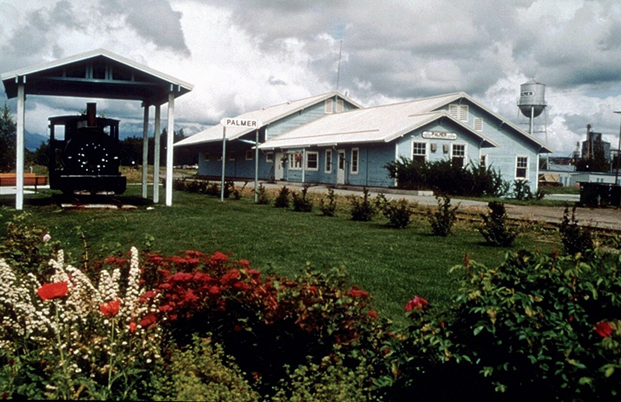
1 Palmer Palmer6,268 people 59.5 / sq mi 22.4% 49.6 mi
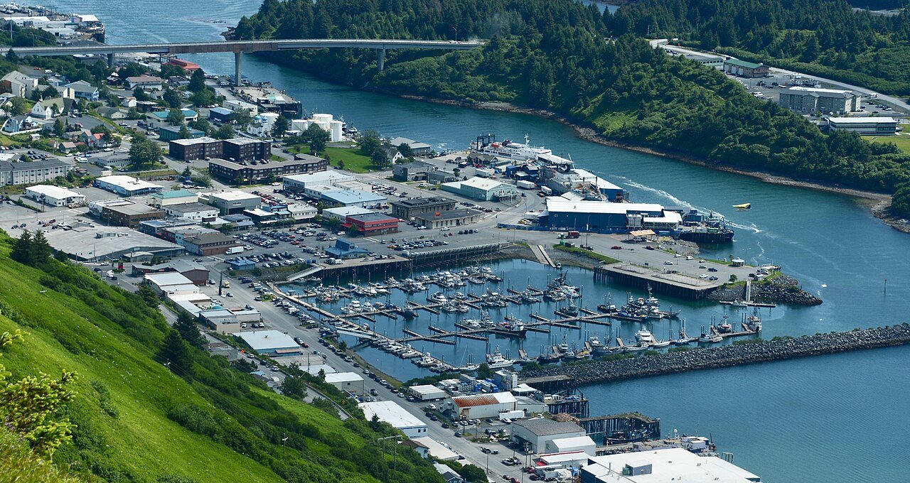
2 Ketchikan8,078 people 48.4 / sq mi 30.1% 37.8 mi
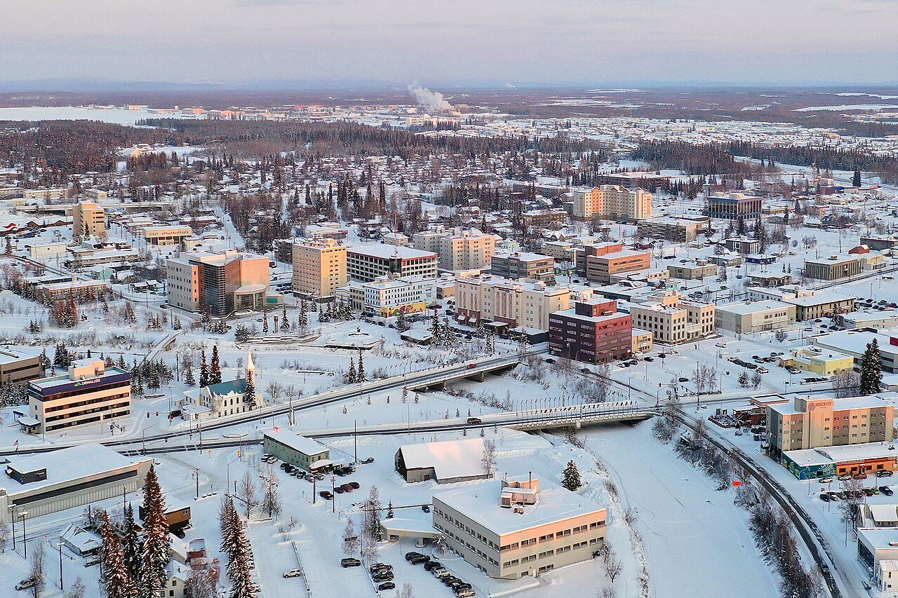
3 Fairbanks Fairbanks32,083 people 42.0 / sq mi 14.2% 275.1 mi
4 Mill Bay3,654 people 36.3 / sq mi 42.2% 21.8 mi
5 Wasilla Wasilla9,720 people 35.8 / sq mi 30.1% 104.1 mi
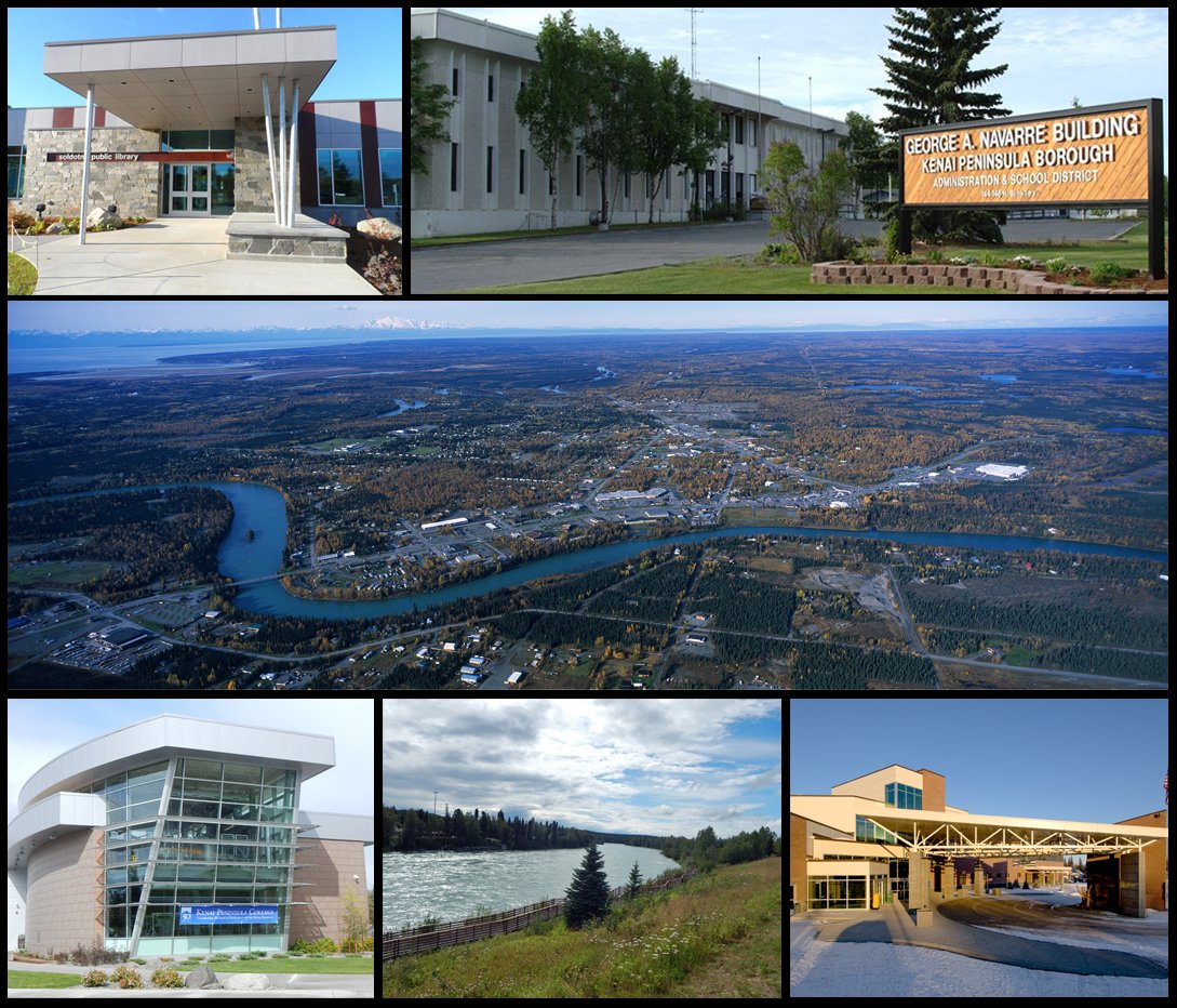
6 Soldotna Soldotna4,485 people 34.8 / sq mi 27% 53.3 mi
7 South Lakes South Lakes6,180 people 31.0 / sq mi 34.2% 66.2 mi
8 Map of College College11,924 people 29.5 / sq mi 28.6% 133.1 mi
9 Kodiak Kodiak5,447 people 28.5 / sq mi 25.1% 35.0 mi
10 North Lakes North Lakes10,223 people 24.3 / sq mi 36.4% 97.7 mi
11 Gateway Gateway6,845 people 15.7 / sq mi 33% 86.3 mi
12 Badger Badger18,677 people 15.3 / sq mi 35.4% 303.7 mi
13 Homer Homer5,877 people 13.4 / sq mi 40.7% 85.9 mi
14 Map of Farm Loop Farm Loop2,894 people 13.2 / sq mi 40% 36.6 mi
15 Kenai7,641 people 12.2 / sq mi 29.6% 99.0 mi
16 Map of Tanaina Tanaina9,646 people 11.4 / sq mi 34.8% 93.2 mi
17 Farmers Loop4,954 people 11.4 / sq mi 37.8% 92.5 mi
18 Map of Knik-Fairview Knik-Fairview19,972 people 10.6 / sq mi 37.6% 241.1 mi
19 Nome Nome3,653 people 10.3 / sq mi 12.1% 39.7 mi
20 Chena Ridge Chena Ridge5,881 people 8.5 / sq mi 37.8% 131.9 mi
21 Map of Kalifornsky Kalifornsky8,663 people 7.5 / sq mi 39.7% 180.1 mi
22 Utqiaġvik Utqiaġvik4,778 people 7.4 / sq mi 12.4% 36.6 mi
23 Seward Seward2,794 people 6.6 / sq mi 16.3% 31.5 mi
24 Nikiski Nikiski4,773 people 6.4 / sq mi 44.1% 190.6 mi
25 Map of Sterling Sterling6,323 people 6.2 / sq mi 42% 179.5 mi
26 Map of Meadow Lakes Meadow Lakes8,689 people 5.9 / sq mi 37.4% 163.8 mi
27 Eielson AFB Eielson AFB3,155 people 5.3 / sq mi 16.1% 53.7 mi
28 Butte Butte4,085 people 5.2 / sq mi 41% 60.6 mi
29 Anchorage288,976 people 4.6 / sq mi 27.2% 1,650.7 mi
30 Bethel Bethel6,312 people 3.9 / sq mi 27.5% 43.1 mi
31 Map of Fishhook Fishhook5,819 people 3.9 / sq mi 41.9% 95.8 mi
32 Steele Creek5,928 people 3.5 / sq mi 41.8% 153.2 mi
33 Kotzebue Kotzebue2,984 people 3.5 / sq mi 15.6% 24.3 mi
34 Petersburg Petersburg3,227 people 3.1 / sq mi 27.8% 46.4 mi
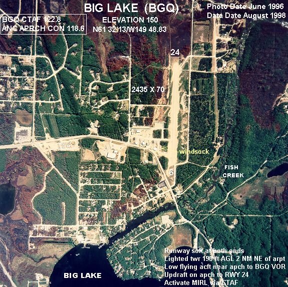
35 Big Lake Big Lake3,585 people 2.9 / sq mi 42% 160.3 mi
36 Map of Goldstream Goldstream3,294 people 2.7 / sq mi 43.7% 146.7 mi
37 Ester Ester2,752 people 2.3 / sq mi 41.2% 64.1 mi
38 Valdez Valdez3,847 people 0.9 / sq mi 33.4% 93.2 mi
39 Unalaska Unalaska4,556 people 0.6 / sq mi 35.7% 47.9 mi
40 Juneau city and31,794 people 0.3 / sq mi 30% 235.5 mi
41 Sitka city and8,368 people 0.1 / sq mi 37.9% 123.0 mi

How this ranking works

We rank every town by street connectivity: intersections per square mile, the standard walkability measure the EPA uses. More intersections mean shorter, more direct walks, while cul-de-sac layouts with long dead ends rank lower. Sidewalks are not mapped consistently enough to rank, so this measures the street grid itself. The town with the highest figure ranks #1.

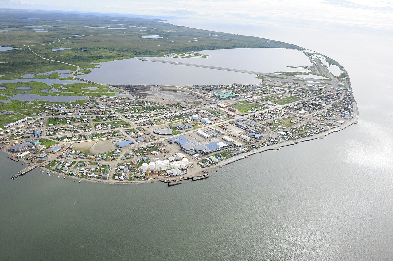
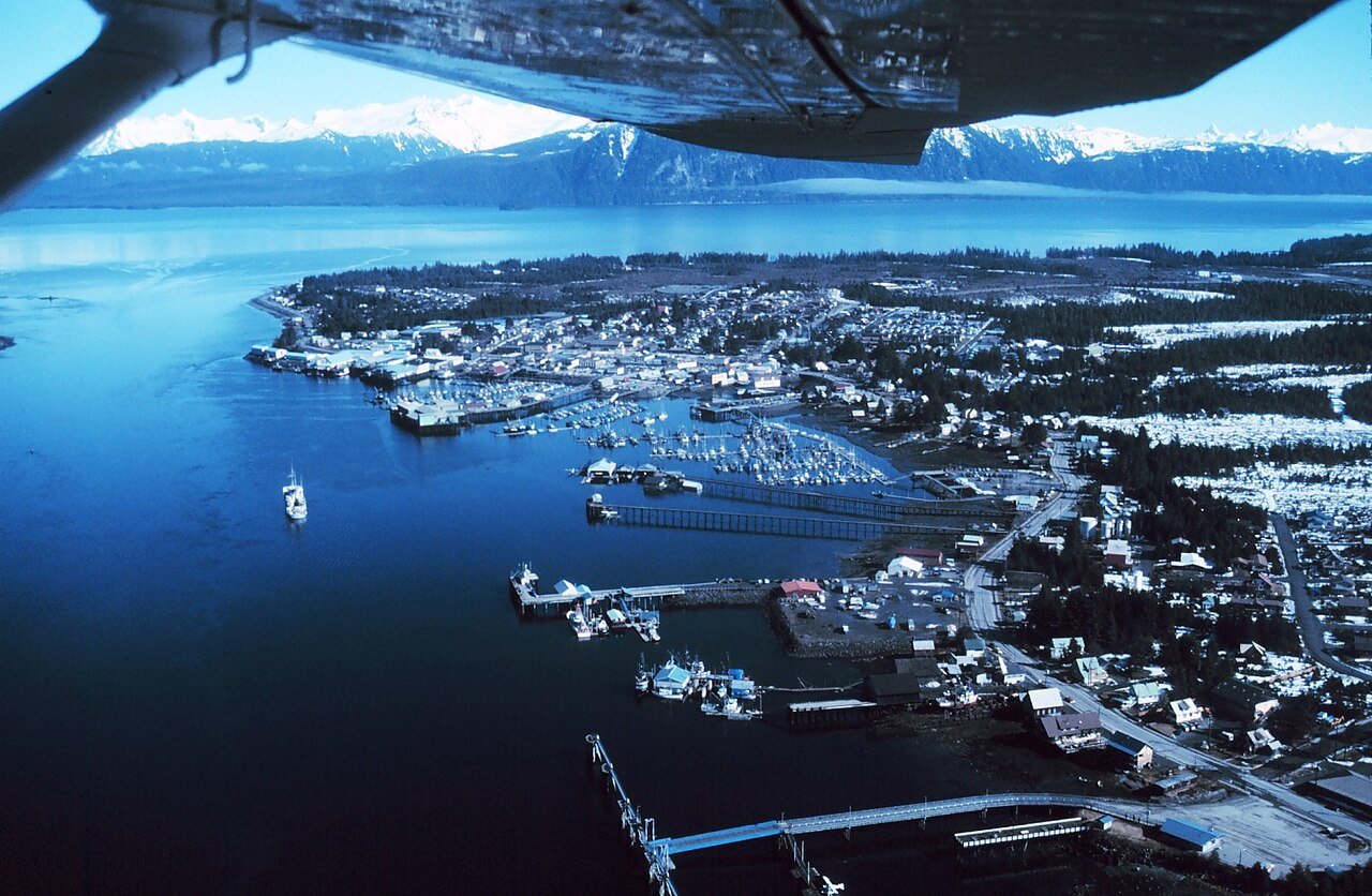
Only towns with at least 2,500 residents are ranked; Census estimates for smaller places are too uncertain. Population and income: U.S. Census Bureau American Community Survey 5-year estimates. Trails, streets and parks: © OpenStreetMap contributors (ODbL). Conserved land: USGS PAD-US. Measured within each town's Census boundary. Town photos: Wikimedia Commons, credited on each town’s page.

Same ranking in other states