NYNew York rankings

Most walkable towns in New York

Ranked by street connectivity: intersections per square mile, the standard walkability measure the EPA uses. 43 towns with 2,500+ residents.
U.S. Census ACS 2020–2024 5-year

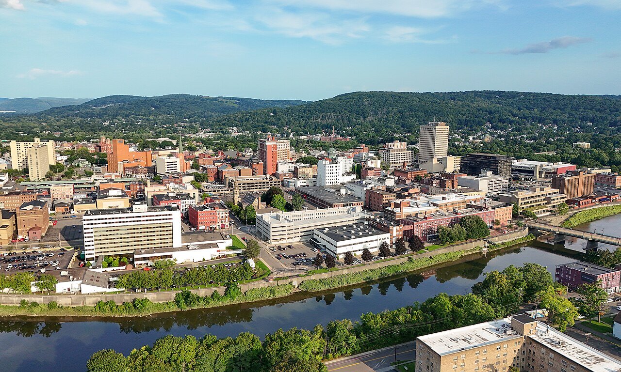
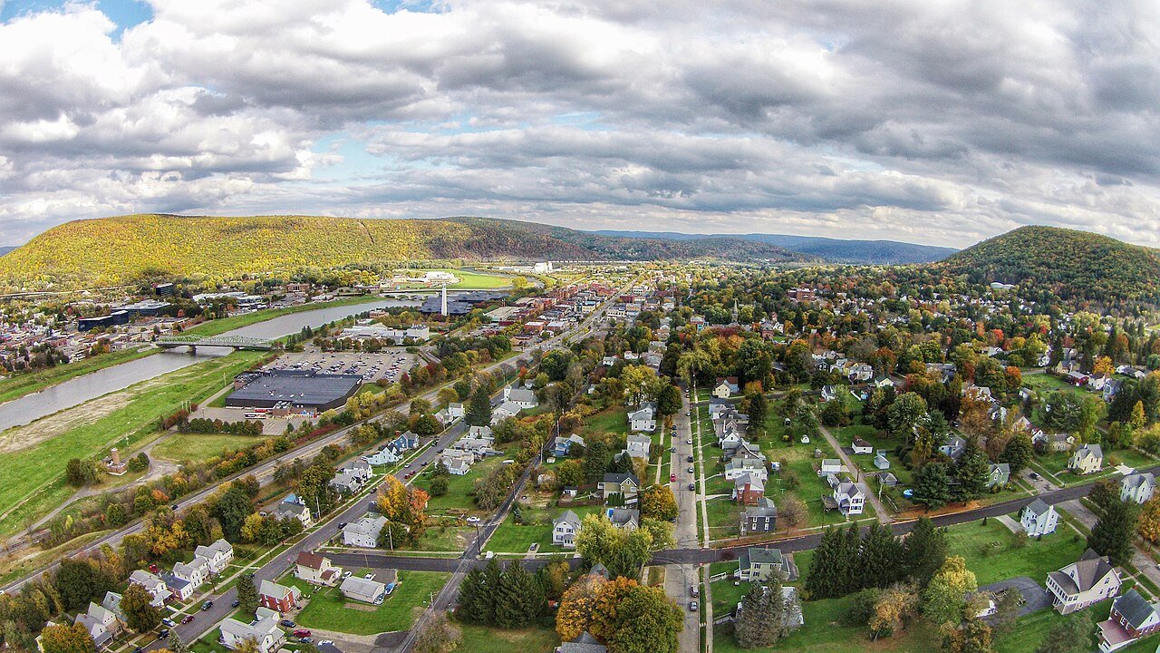
Corning
New York · Most walkable

Where Corning lands: #2 of 43

121 / sq mi · Visit Corning →

#TownIntersections per sq miDead endsStreet miles
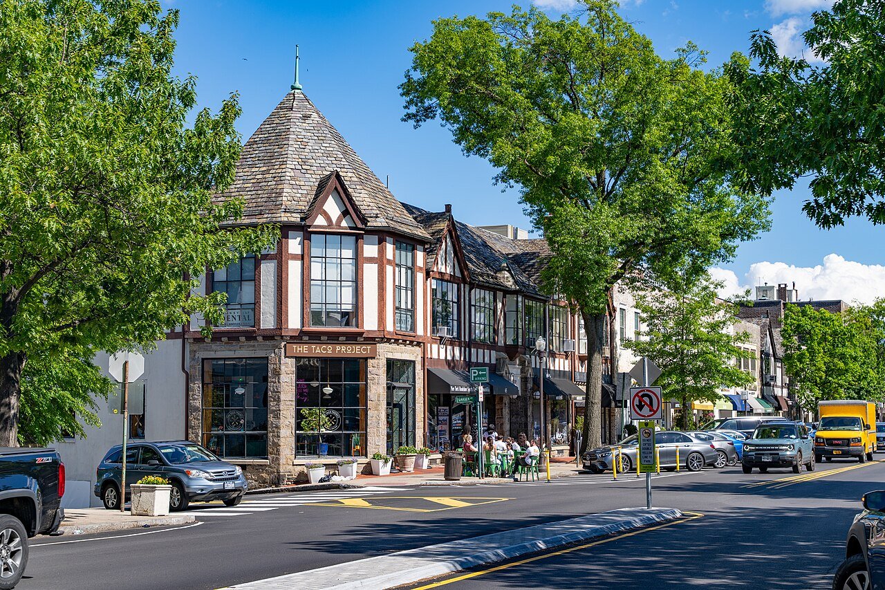
1 Bronxville Bronxville6,510 people 259 / sq mi 7.4% 23.5 mi
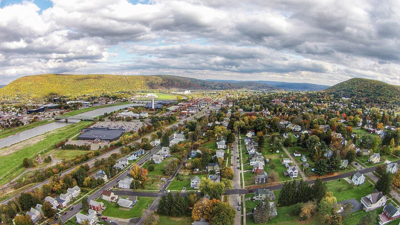
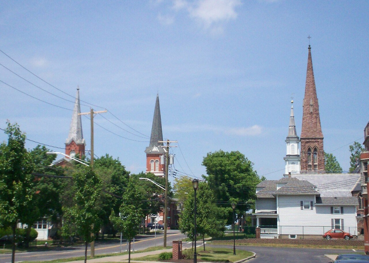
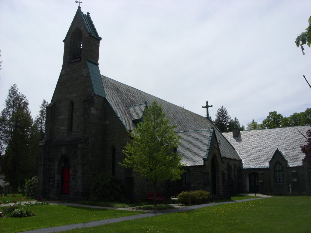
2 Corning Corning10,643 people 121 / sq mi 14.2% 56.1 mi
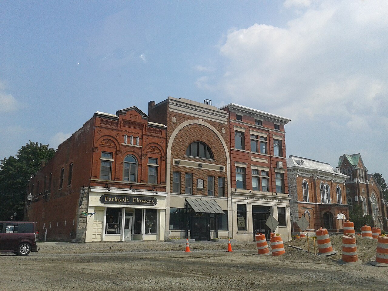
3 Hudson Falls Hudson Falls7,395 people 108 / sq mi 10.4% 29.9 mi
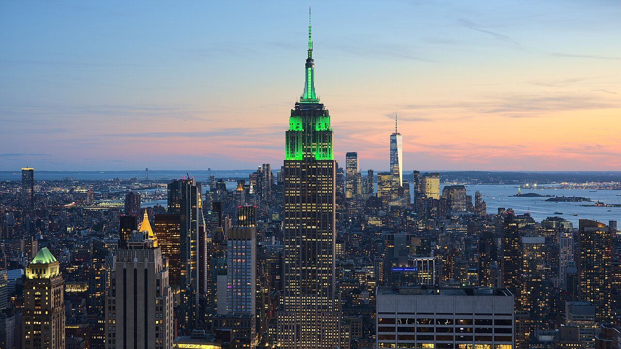
4 New York New York8,483,844 people 106 / sq mi 7.1% 6,325.6 mi
5 Gloversville14,962 people 89.8 / sq mi 10% 64.5 mi
6 Rye Brook Rye Brook9,900 people 84.5 / sq mi 19.2% 41.0 mi
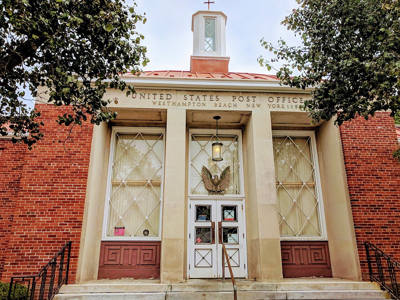
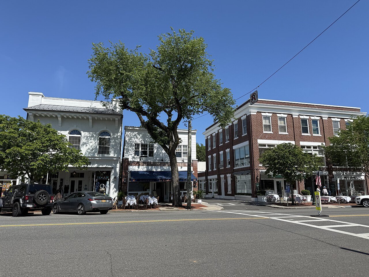
7 Westhampton Beach Westhampton Beach2,574 people 68.9 / sq mi 20.5% 33.4 mi
8 Blasdell Blasdell2,549 people 61.7 / sq mi 16.9% 14.2 mi
9 Colonie Colonie7,702 people 54.6 / sq mi 24.5% 33.6 mi
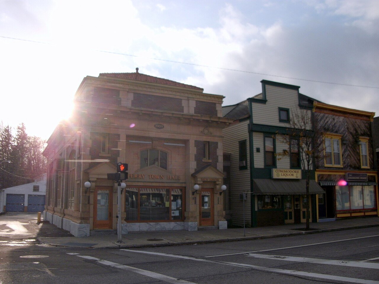
10 Perry Perry3,871 people 45.5 / sq mi 18.2% 17.5 mi
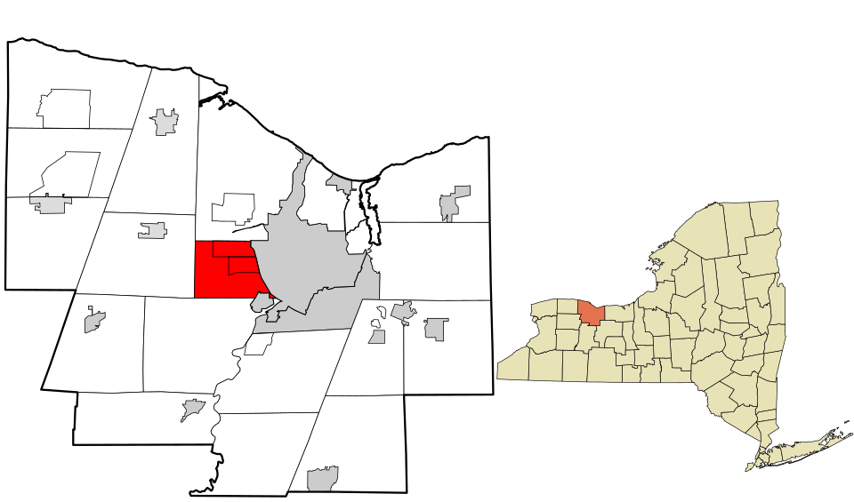
11 Map of Gates GatesMonroe County · 29,008 people 43.5 / sq mi 15.6% 141.6 mi
12 Southampton Southampton4,621 people 42.0 / sq mi 12.7% 60.0 mi
13 Map of Scottsville Scottsville2,723 people 40.7 / sq mi 13.7% 9.2 mi
14 Greece GreeceMonroe County · 95,395 people 39.2 / sq mi 20.1% 436.8 mi
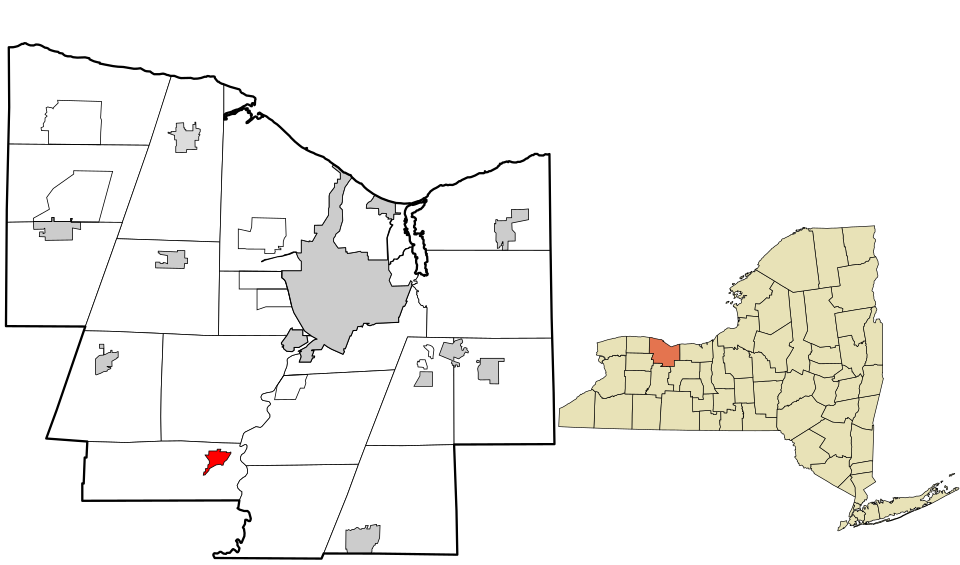
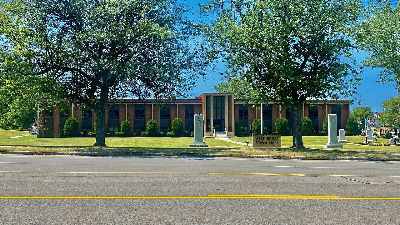
15 West Seneca West SenecaErie County · 45,303 people 37.8 / sq mi 22.1% 182.8 mi
16 Montebello Montebello4,673 people 35.6 / sq mi 27.8% 34.7 mi
17 Fishkill FishkillDutchess County · 22,924 people 22.1 / sq mi 28.5% 137.5 mi
18 Guilderland GuilderlandAlbany County · 37,260 people 18.1 / sq mi 12.9% 241.8 mi
19 Lloyd Harbor Lloyd Harbor3,565 people 14.5 / sq mi 32.8% 47.5 mi
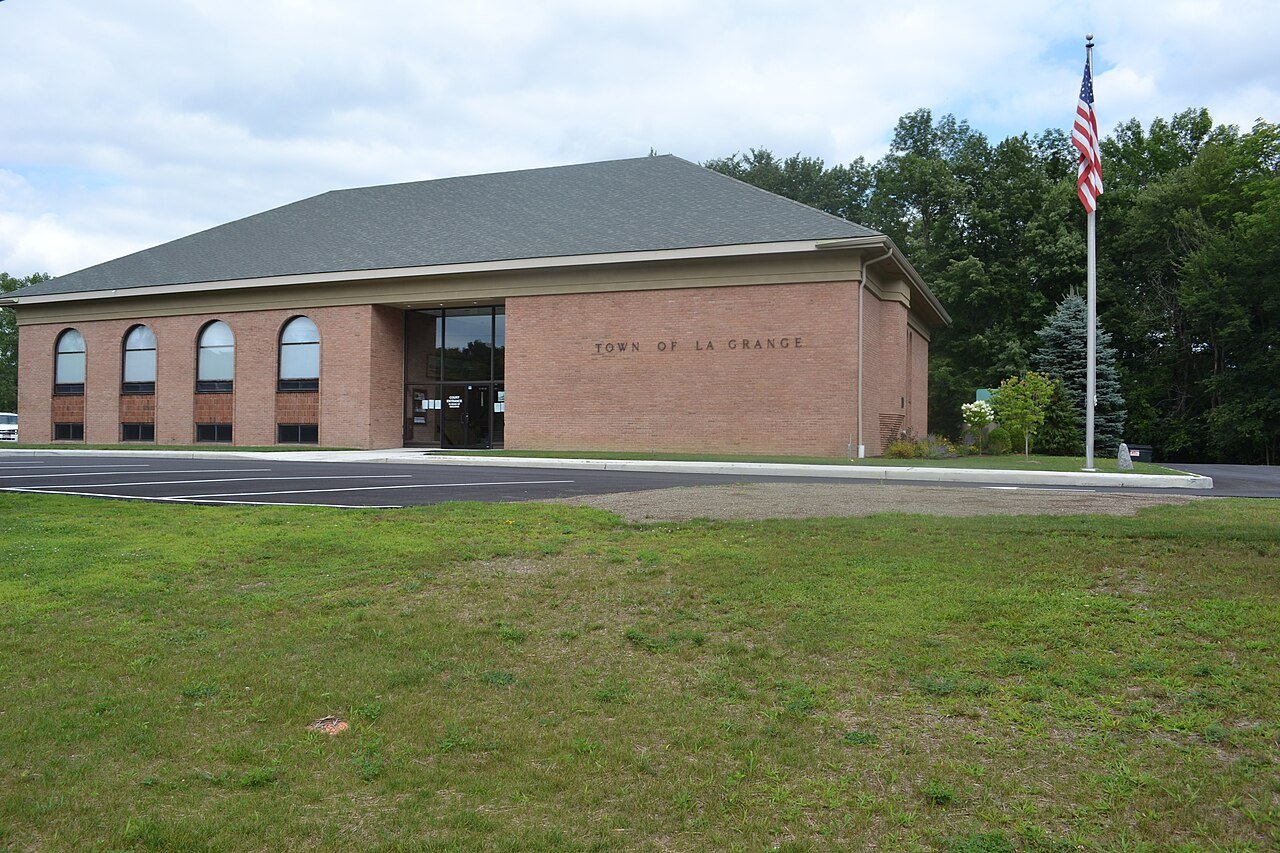
20 LaGrange LaGrangeDutchess County · 16,384 people 12.4 / sq mi 25.4% 189.1 mi
21 MoreauSaratoga County · 16,631 people 11.3 / sq mi 10.1% 145.8 mi
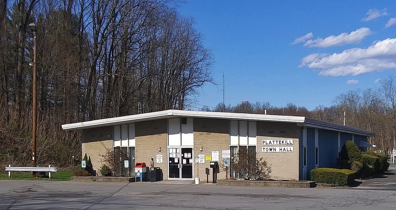
22 Plattekill PlattekillUlster County · 10,406 people 10.4 / sq mi 33.7% 120.1 mi
23 Kingsbury KingsburyWashington County · 12,896 people 10.3 / sq mi 13.7% 114.3 mi
24 Sand LakeRensselaer County · 8,326 people 9.7 / sq mi 24.3% 121.5 mi
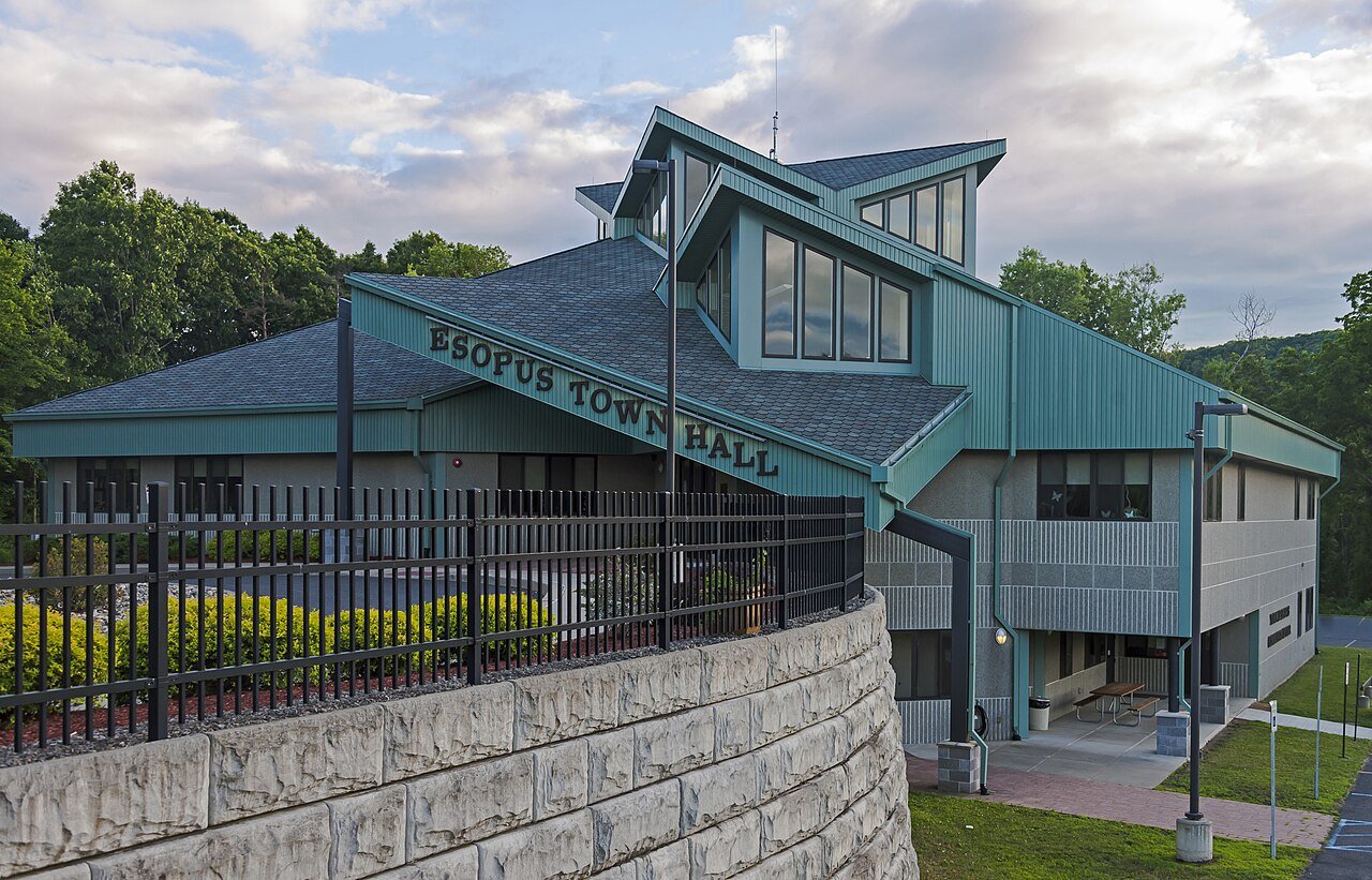
25 Esopus EsopusUlster County · 9,561 people 8.9 / sq mi 30.1% 126.1 mi
26 Big FlatsChemung County · 7,592 people 7.9 / sq mi 28% 130.7 mi
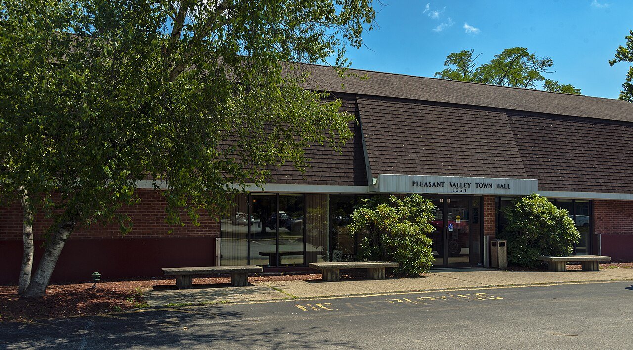
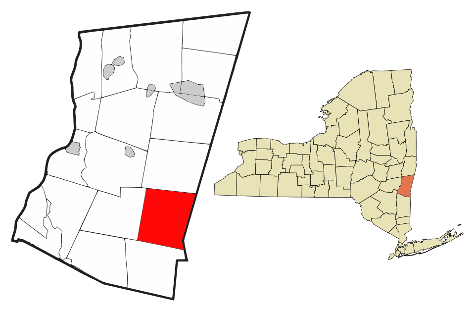
27 Pleasant Valley Pleasant ValleyDutchess County · 9,794 people 7.8 / sq mi 25.4% 116.8 mi
28 Southport SouthportChemung County · 9,150 people 7.8 / sq mi 18.1% 135.2 mi
29 Map of Copake CopakeColumbia County · 3,313 people 7.3 / sq mi 21.1% 115.2 mi
30 Corning CorningSteuben County · 5,829 people 7.2 / sq mi 25.5% 100.3 mi
31 Binghamton BinghamtonBroome County · 4,533 people 5.9 / sq mi 30.2% 69.8 mi
32 Map of Portland PortlandChautauqua County · 3,924 people 5.6 / sq mi 16.7% 99.7 mi
33 Greenville GreenvilleOrange County · 4,676 people 5.5 / sq mi 29.8% 91.4 mi
34 Westfield WestfieldChautauqua County · 4,474 people 5.1 / sq mi 16.4% 105.9 mi
35 LivoniaLivingston County · 7,505 people 4.8 / sq mi 22.2% 104.9 mi
36 Palmyra PalmyraWayne County · 7,354 people 4.6 / sq mi 14% 96.4 mi
37 Alexandria AlexandriaJefferson County · 3,713 people 4.6 / sq mi 31.6% 173.8 mi
38 Map of Volney VolneyOswego County · 5,642 people 3.8 / sq mi 26.5% 119.2 mi
39 PhelpsOntario County · 6,624 people 3.7 / sq mi 9.8% 152.8 mi
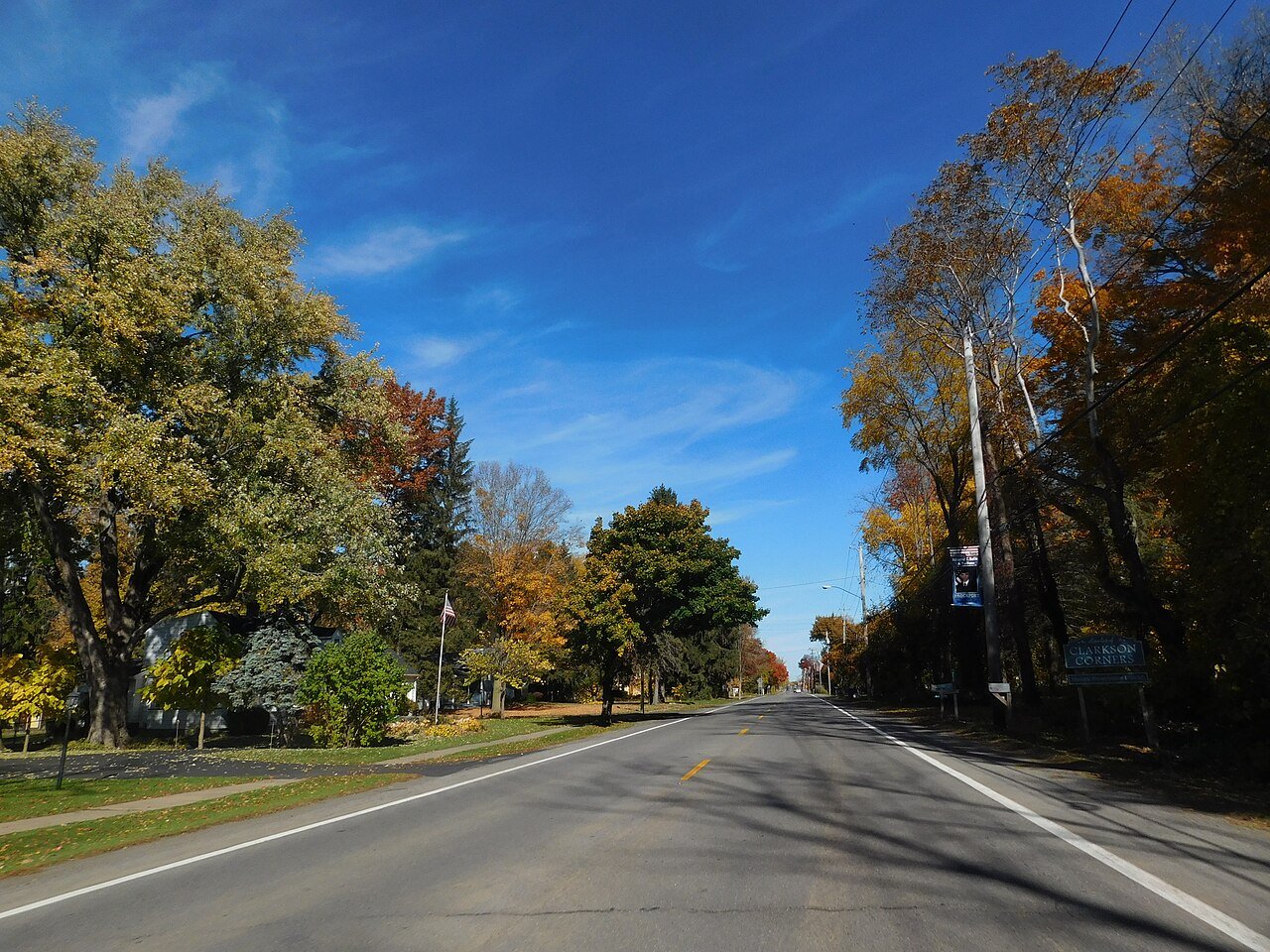
40 Clarkson ClarksonMonroe County · 6,810 people 3.5 / sq mi 25.5% 57.5 mi
41 Wilson WilsonNiagara County · 5,789 people 3.3 / sq mi 17.4% 107.2 mi
42 Marion MarionWayne County · 4,523 people 3.3 / sq mi 14.9% 72.7 mi
43 New Berlin New BerlinChenango County · 2,639 people 3.0 / sq mi 26.7% 96.1 mi

How this ranking works

We rank every town by street connectivity: intersections per square mile, the standard walkability measure the EPA uses. More intersections mean shorter, more direct walks, while cul-de-sac layouts with long dead ends rank lower. Sidewalks are not mapped consistently enough to rank, so this measures the street grid itself. The town with the highest figure ranks #1.

Only towns with at least 2,500 residents are ranked; Census estimates for smaller places are too uncertain. Population and income: U.S. Census Bureau American Community Survey 5-year estimates. Trails, streets and parks: © OpenStreetMap contributors (ODbL). Conserved land: USGS PAD-US. Measured within each town's Census boundary. Town photos: Wikimedia Commons, credited on each town’s page.

Same ranking in other states