NJNew Jersey rankings

Most walkable towns in New Jersey

Ranked by street connectivity: intersections per square mile, the standard walkability measure the EPA uses. 42 towns with 2,500+ residents.
U.S. Census ACS 2020–2024 5-year

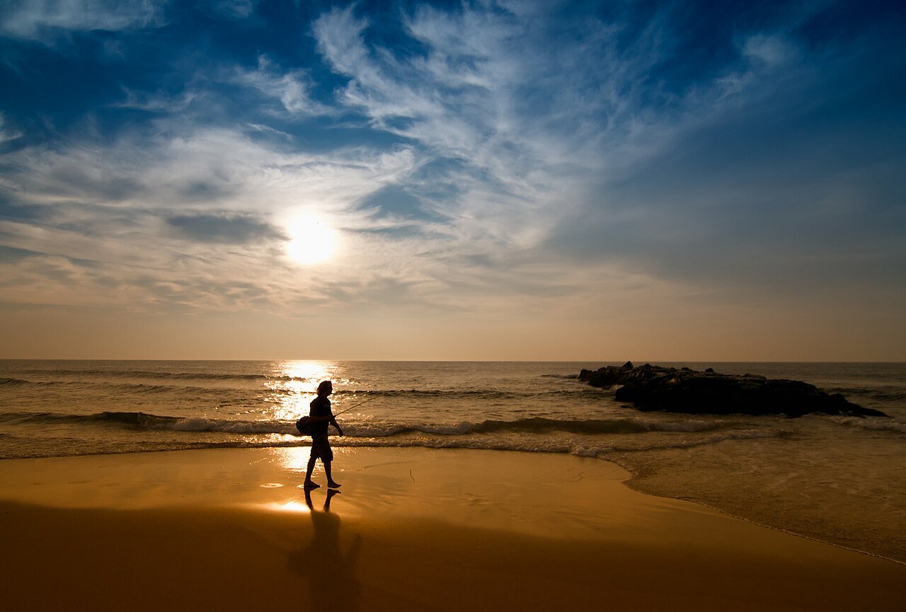
Spring Lake
New Jersey · Most walkable

Where Spring Lake lands: #11 of 42

108 / sq mi · Visit Spring Lake →

#TownIntersections per sq miDead endsStreet miles
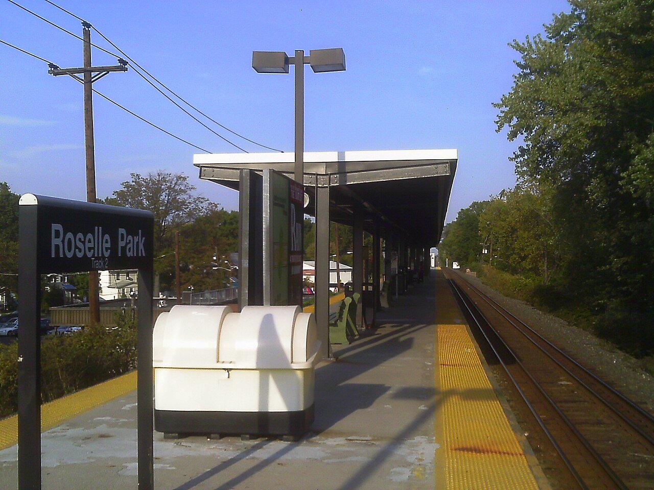
1 Roselle Park Roselle Park14,093 people 193 / sq mi 5.2% 29.5 mi
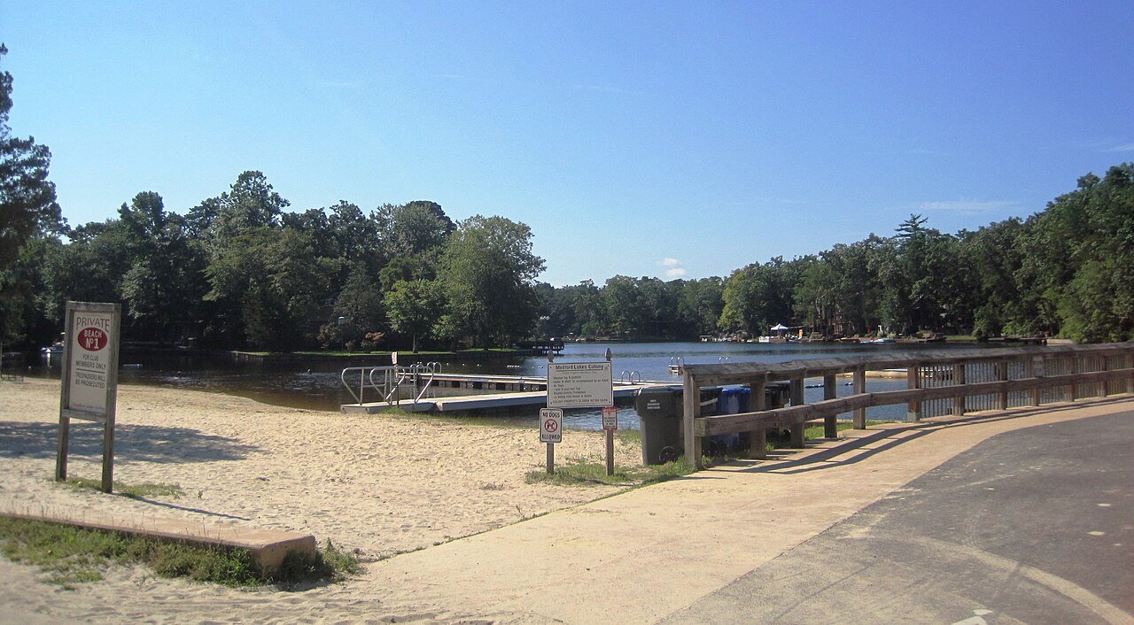
2 Medford Lakes Medford Lakes4,297 people 172 / sq mi 4.4% 27.5 mi
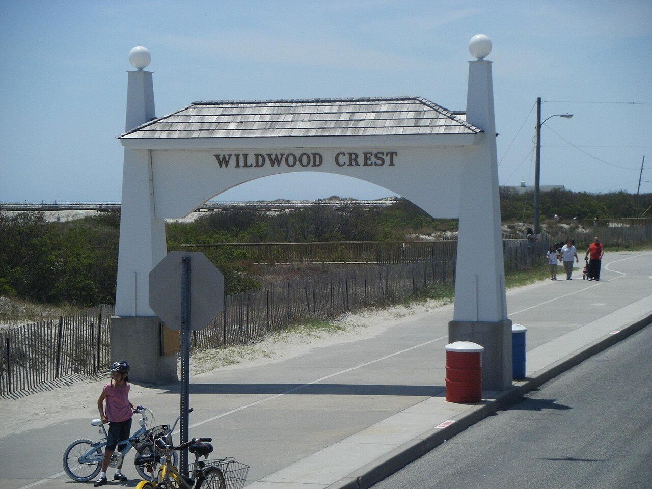
3 Wildwood Crest Wildwood Crest3,077 people 159 / sq mi 15.5% 33.2 mi
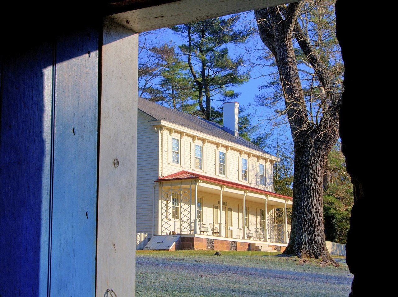
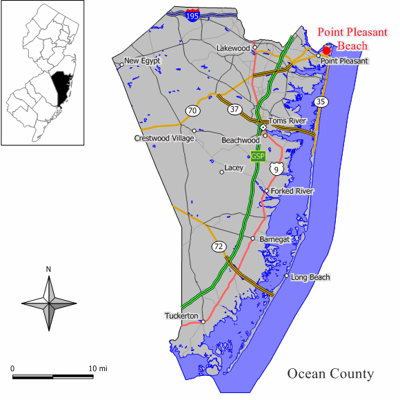
4 Map of Point Pleasant Beach Point Pleasant Beach4,855 people 143 / sq mi 19.5% 33.0 mi
5 Long Branch Long Branch32,530 people 136 / sq mi 15.6% 101.3 mi
6 Midland Park Midland Park7,019 people 133 / sq mi 21.7% 27.5 mi
7 Cresskill Cresskill9,174 people 132 / sq mi 15.5% 38.6 mi
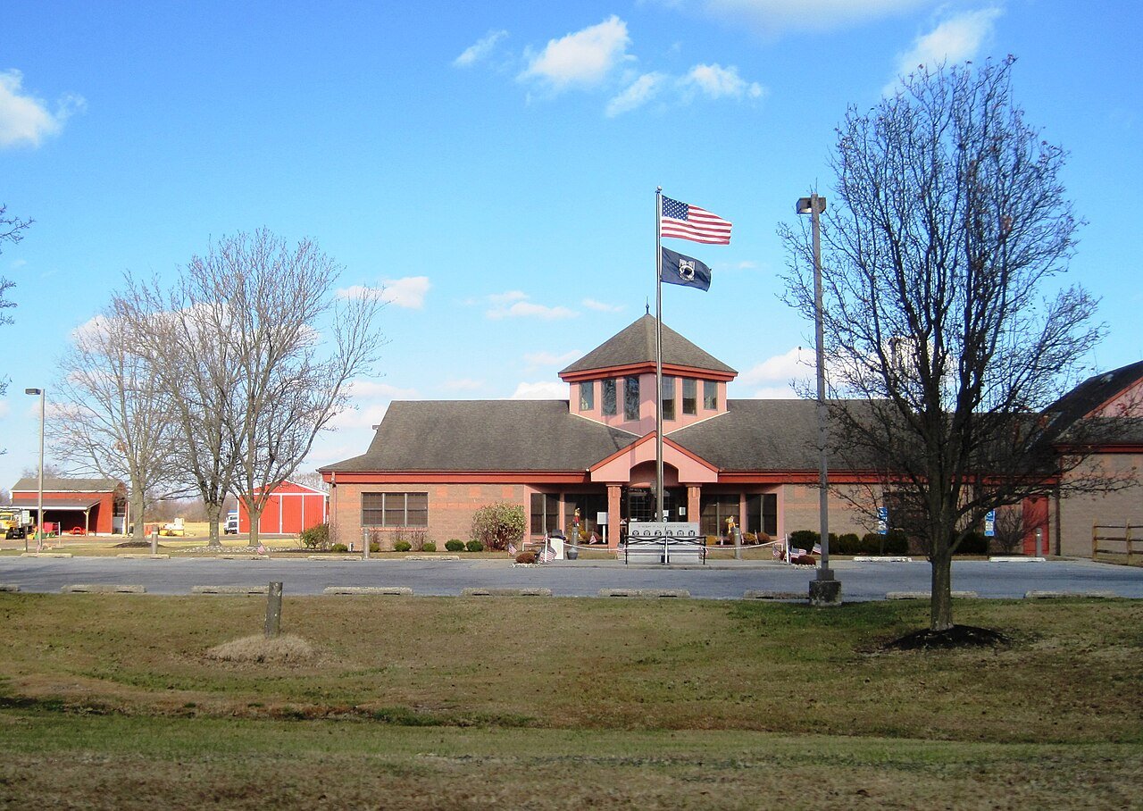
8 Haddon Heights Haddon Heights7,516 people 125 / sq mi 6.3% 30.4 mi
9 Hillsdale Hillsdale10,144 people 122 / sq mi 21.2% 49.0 mi
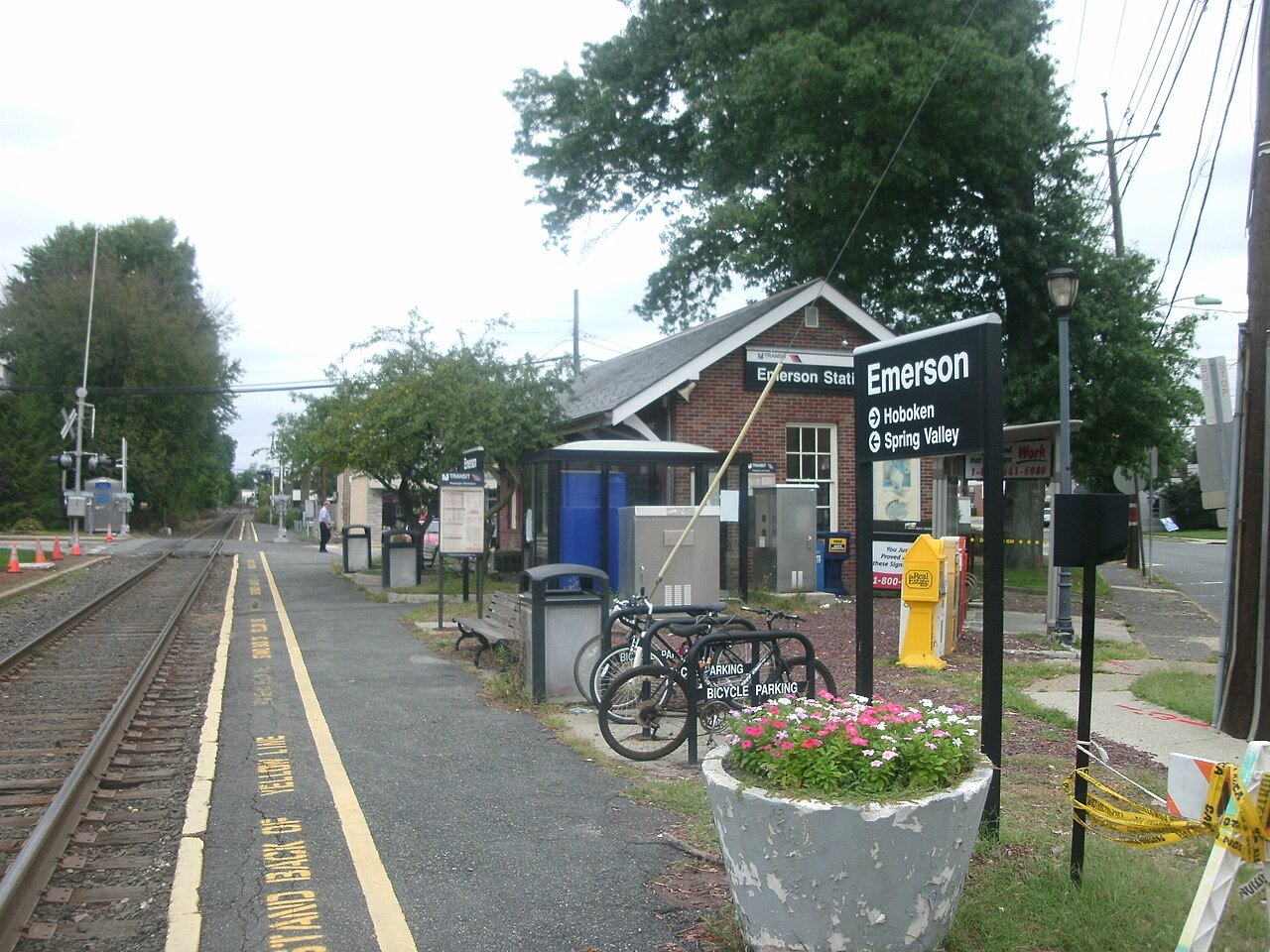
10 Emerson Emerson7,305 people 109 / sq mi 19.6% 32.3 mi
11 Spring Lake Spring Lake2,779 people 108 / sq mi 5.5% 29.8 mi
12 Woodland Park Woodland Park13,355 people 100 / sq mi 18.8% 42.9 mi
13 Westville Westville4,310 people 87.2 / sq mi 13.2% 17.9 mi
14 Somers Point Somers Point10,515 people 78.7 / sq mi 13.1% 56.0 mi
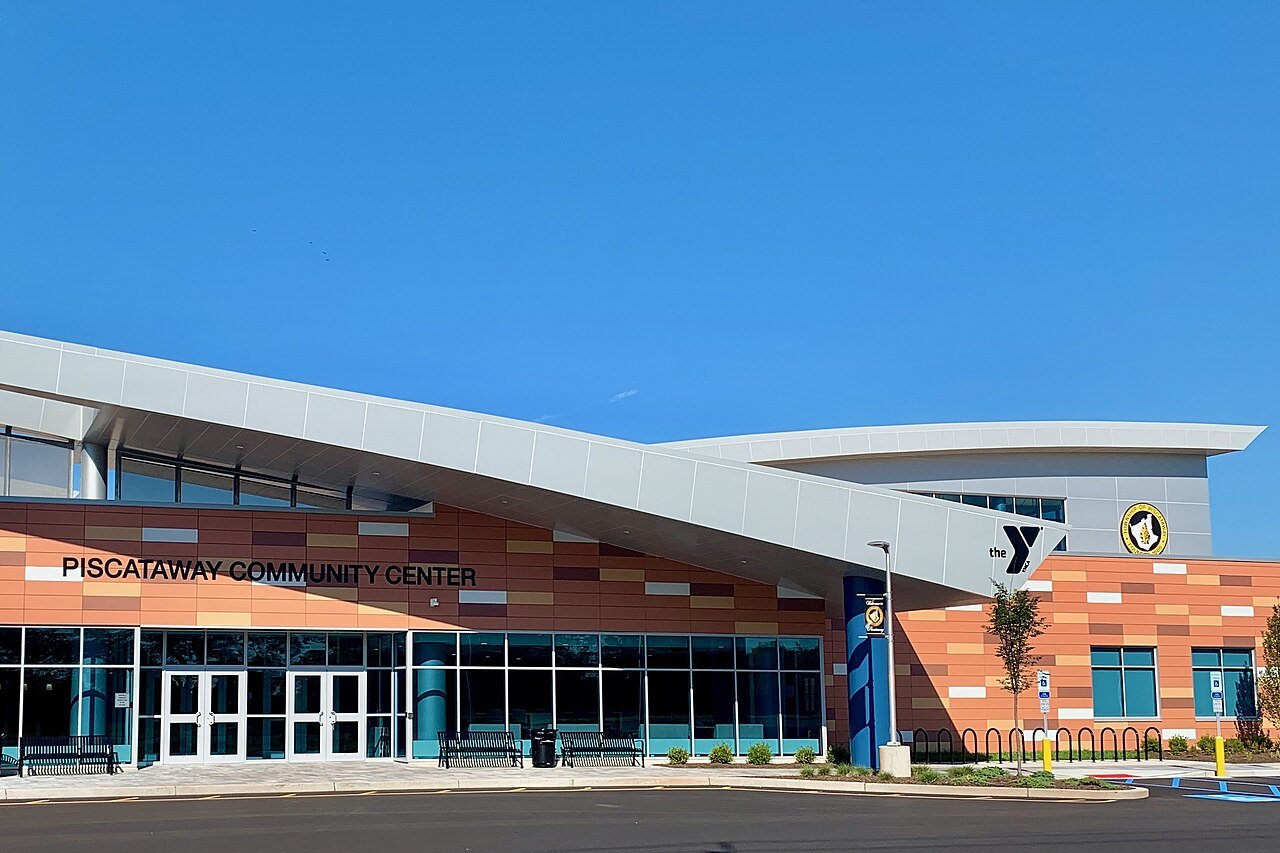
15 Piscataway PiscatawayMiddlesex County · 61,297 people 77.4 / sq mi 18.6% 228.2 mi
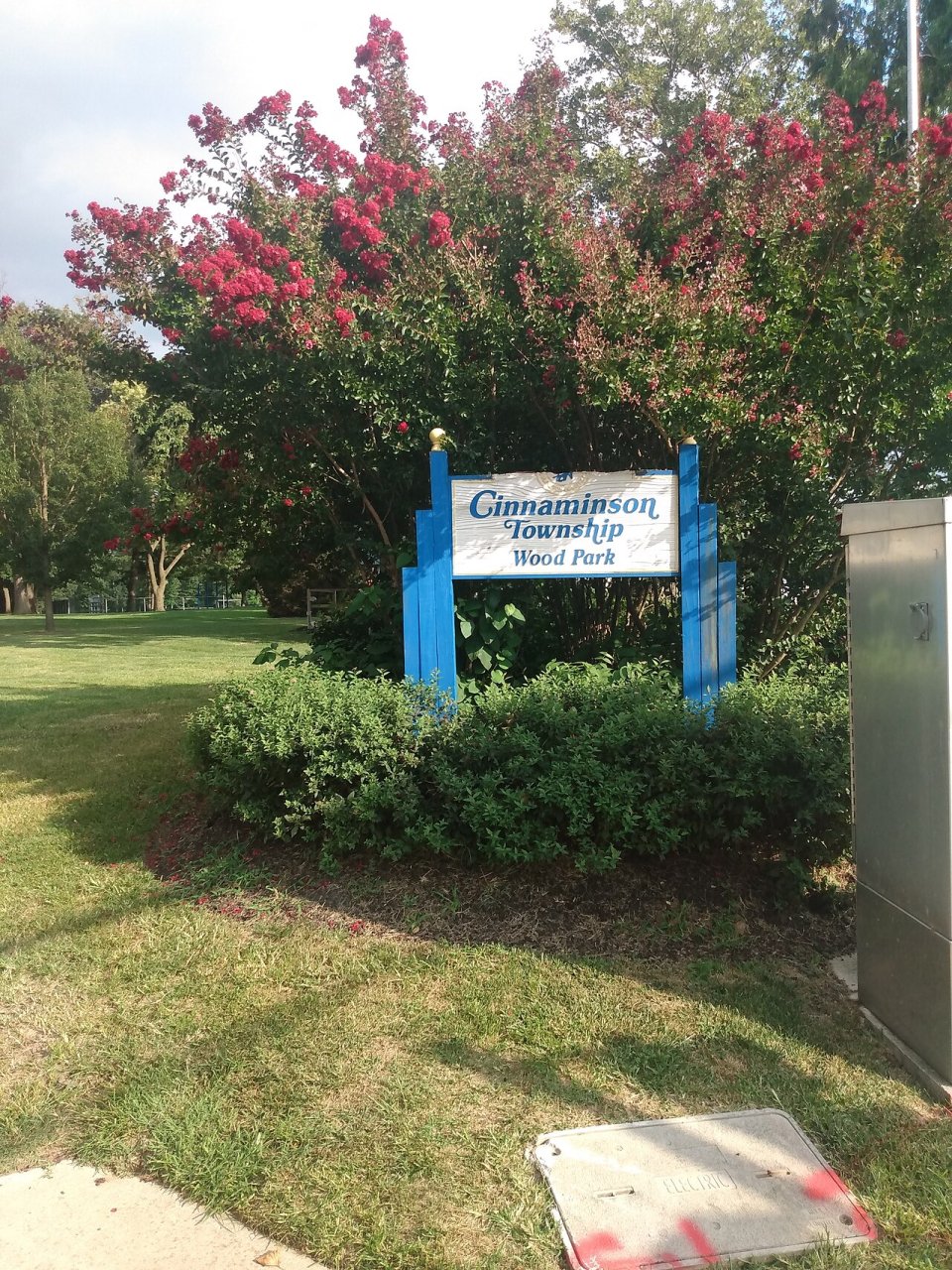
16 Cinnaminson CinnaminsonBurlington County · 17,415 people 75.5 / sq mi 16.9% 94.4 mi
17 Little Silver Little Silver6,105 people 75.4 / sq mi 19.7% 35.6 mi
18 Pleasantville Pleasantville20,712 people 74.6 / sq mi 15.6% 71.3 mi
19 Voorhees VoorheesCamden County · 31,191 people 73.6 / sq mi 20.7% 142.3 mi
20 Washington WashingtonGloucester County · 49,220 people 67.2 / sq mi 22.2% 231.2 mi
21 Hamilton HamiltonMercer County · 92,506 people 61.1 / sq mi 15.1% 391.2 mi
22 Atlantic City38,632 people 52.6 / sq mi 12.4% 119.7 mi
23 Carlstadt Carlstadt6,378 people 44.5 / sq mi 18.4% 32.5 mi
24 Burlington BurlingtonBurlington County · 24,127 people 43.6 / sq mi 11.2% 112.3 mi
25 Franklin FranklinSomerset County · 68,907 people 40.4 / sq mi 22.8% 331.3 mi
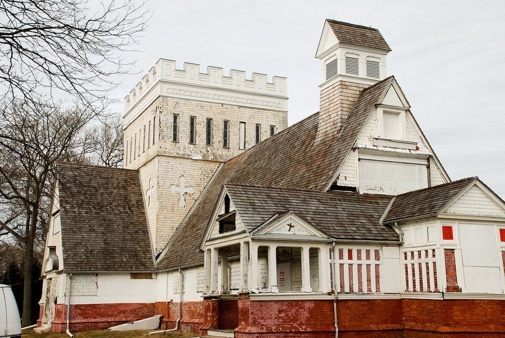
26 Map of Mantua MantuaGloucester County · 15,404 people 32.3 / sq mi 19.2% 103.8 mi
27 Berkeley BerkeleyOcean County · 44,634 people 31.8 / sq mi 24% 296.0 mi
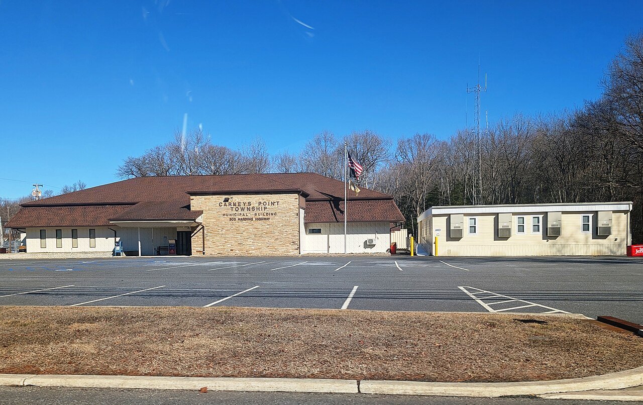
28 Carneys Point Carneys PointSalem County · 8,665 people 19.0 / sq mi 22.6% 74.8 mi
29 Bernardsville Bernardsville7,916 people 17.6 / sq mi 25.4% 69.6 mi
30 Stafford StaffordOcean County · 29,834 people 17.4 / sq mi 23.9% 189.2 mi
31 Clinton ClintonHunterdon County · 13,350 people 14.1 / sq mi 30.1% 141.3 mi
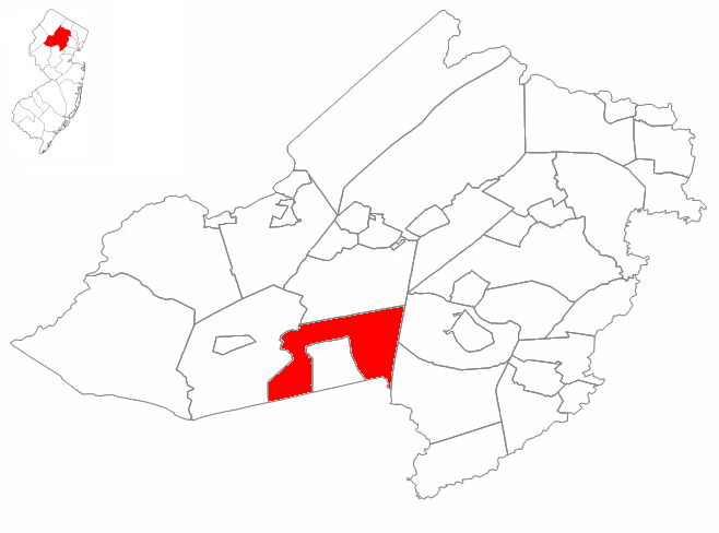
32 Map of Mendham MendhamMorris County · 6,018 people 11.7 / sq mi 35.8% 80.4 mi
33 Andover AndoverSussex County · 5,801 people 10.3 / sq mi 26.6% 81.7 mi
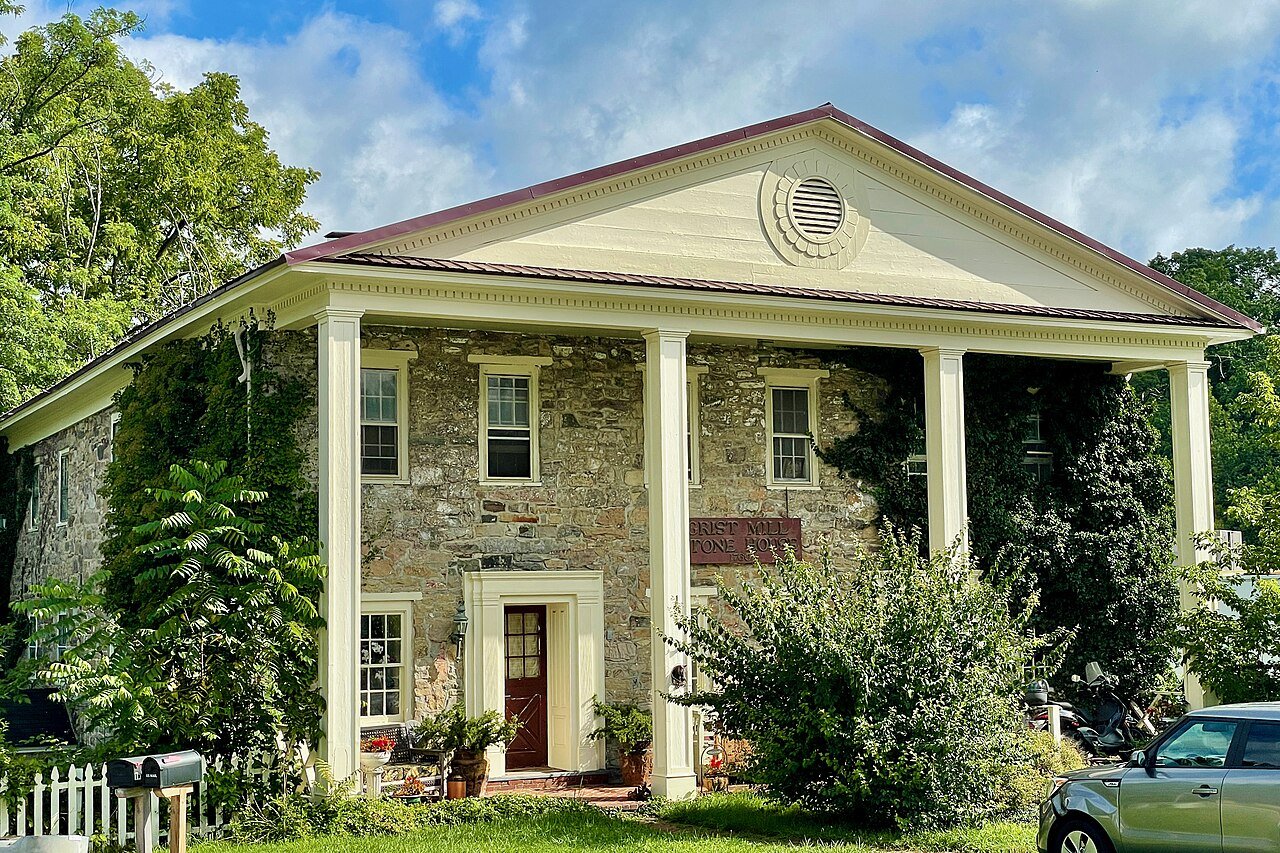
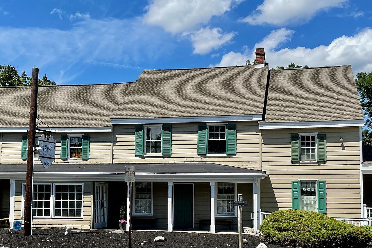
34 Chesterfield ChesterfieldBurlington County · 9,150 people 9.9 / sq mi 11.7% 60.9 mi
35 Buena Vista Buena VistaAtlantic County · 7,103 people 7.9 / sq mi 27.9% 136.5 mi
36 Independence IndependenceWarren County · 5,536 people 7.2 / sq mi 30.6% 58.8 mi
37 Holland HollandHunterdon County · 5,204 people 6.1 / sq mi 33.3% 68.7 mi
38 Deerfield DeerfieldCumberland County · 3,160 people 6.1 / sq mi 15.6% 58.9 mi
39 Upper Freehold Upper FreeholdMonmouth County · 7,250 people 5.6 / sq mi 15.3% 125.5 mi
40 South Harrison South HarrisonGloucester County · 3,428 people 5.4 / sq mi 24.1% 48.6 mi
41 Upper Pittsgrove Upper PittsgroveSalem County · 3,466 people 3.1 / sq mi 8% 103.7 mi
42 Maurice River Maurice RiverCumberland County · 5,350 people 1.7 / sq mi 32.3% 112.2 mi

How this ranking works

We rank every town by street connectivity: intersections per square mile, the standard walkability measure the EPA uses. More intersections mean shorter, more direct walks, while cul-de-sac layouts with long dead ends rank lower. Sidewalks are not mapped consistently enough to rank, so this measures the street grid itself. The town with the highest figure ranks #1.

Only towns with at least 2,500 residents are ranked; Census estimates for smaller places are too uncertain. Population and income: U.S. Census Bureau American Community Survey 5-year estimates. Trails, streets and parks: © OpenStreetMap contributors (ODbL). Conserved land: USGS PAD-US. Measured within each town's Census boundary. Town photos: Wikimedia Commons, credited on each town’s page.

Same ranking in other states