DEDelaware rankings

Most walkable towns in Delaware

Ranked by street connectivity: intersections per square mile, the standard walkability measure the EPA uses. 22 towns with 2,500+ residents.
U.S. Census ACS 2020–2024 5-year

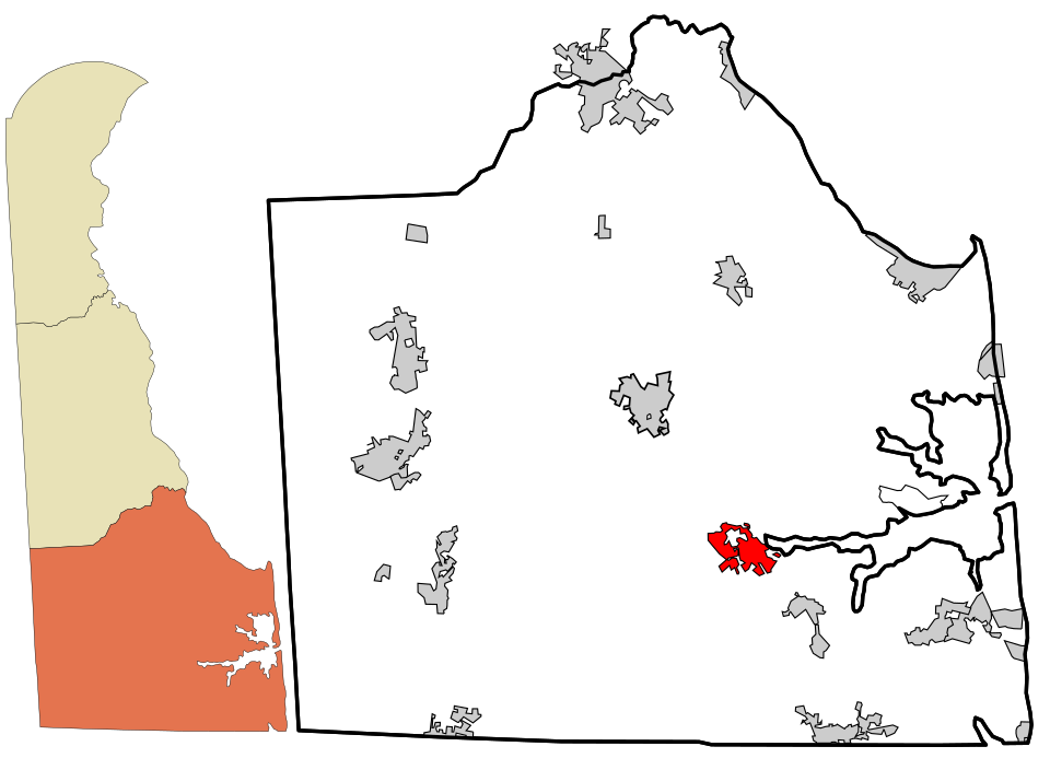
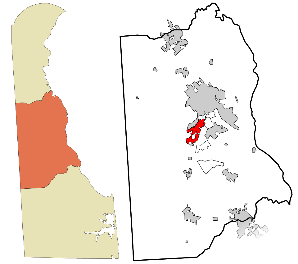
Map of Milton
Delaware · Most walkable

Where Milton lands: #7 of 22

77.8 / sq mi · Visit Milton →

#TownIntersections per sq miDead endsStreet miles
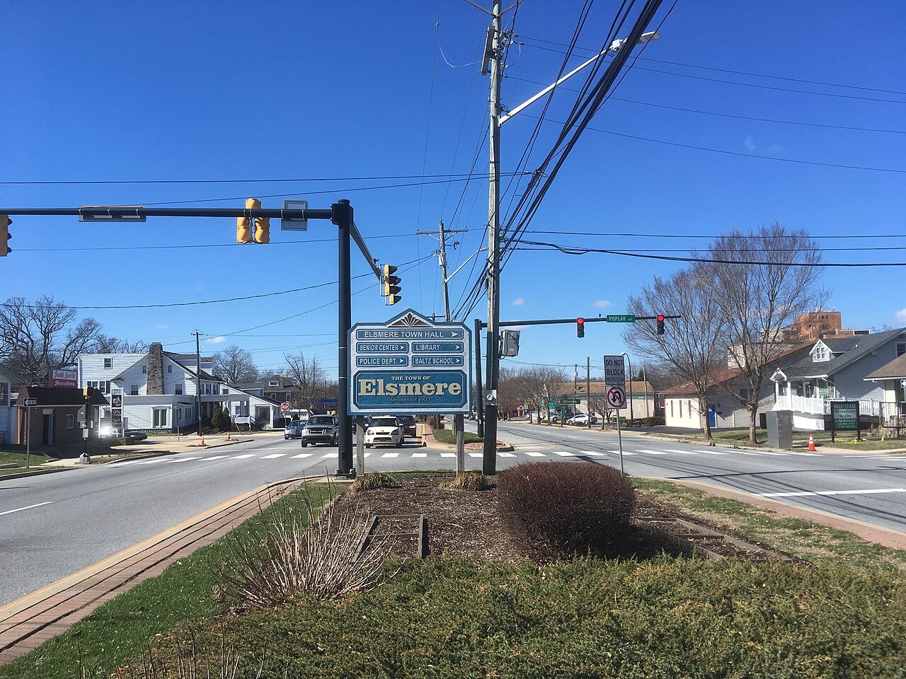
1 Elsmere Elsmere6,203 people 145 / sq mi 17.4% 19.1 mi
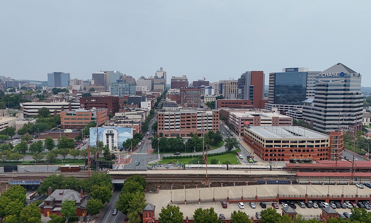
2 Wilmington Wilmington71,727 people 111 / sq mi 7% 201.6 mi
3 Map of Ocean View Ocean View2,851 people 91.8 / sq mi 27.8% 39.2 mi
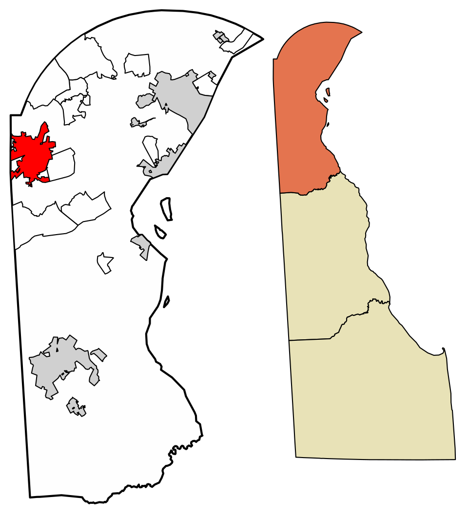
4 Map of Newark Newark30,330 people 86.3 / sq mi 21.7% 121.7 mi
5 Map of Highland Acres Highland Acres3,752 people 85.7 / sq mi 27.9% 23.1 mi
6 Seaford Seaford8,485 people 84.5 / sq mi 12.9% 61.6 mi
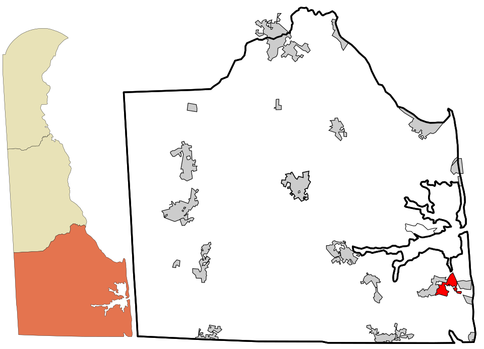
7 Map of Milton Milton3,567 people 77.8 / sq mi 9.3% 26.5 mi
8 Map of Millsboro Millsboro7,424 people 70.2 / sq mi 16.1% 54.2 mi
9 Townsend Townsend2,832 people 69.8 / sq mi 24.3% 11.6 mi
10 Middletown Middletown24,661 people 67.7 / sq mi 13.2% 127.7 mi
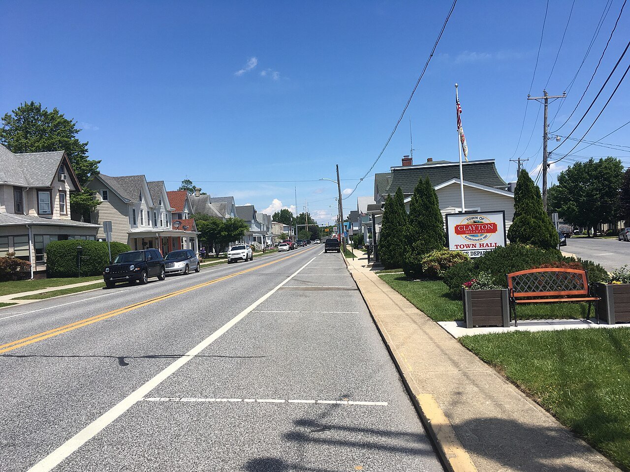
11 Clayton Clayton4,222 people 64.5 / sq mi 22.4% 18.9 mi
12 Georgetown Georgetown7,660 people 63.3 / sq mi 18.1% 47.1 mi
13 Smyrna Smyrna13,165 people 62.9 / sq mi 16.5% 64.9 mi
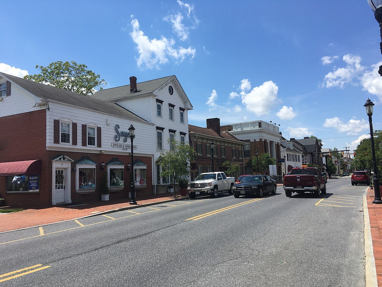
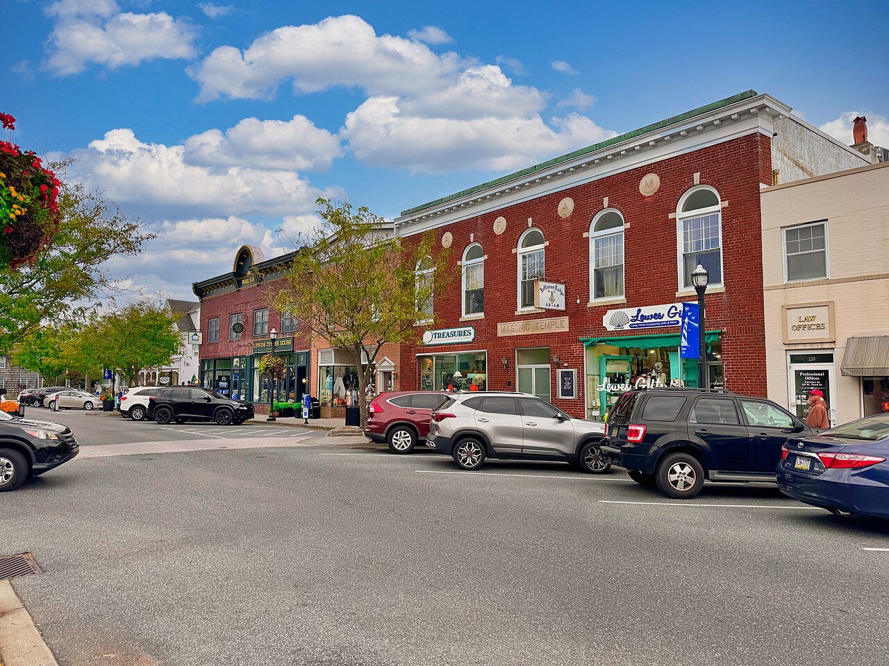
14 Lewes Lewes3,505 people 61.7 / sq mi 22.4% 46.1 mi
15 New Castle New Castle5,579 people 58.2 / sq mi 21.2% 28.2 mi
16 Laurel Laurel4,152 people 56.8 / sq mi 10.5% 24.6 mi
17 Milford Milford12,803 people 54.5 / sq mi 16.3% 94.6 mi
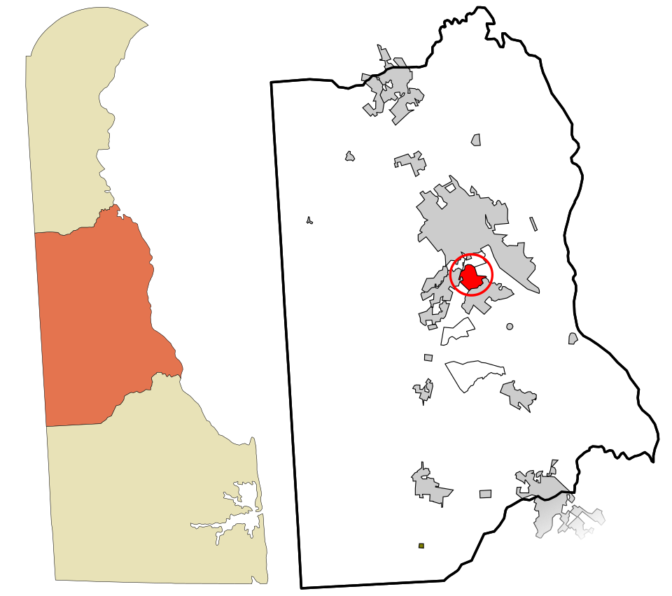
18 Dover Dover39,837 people 54.1 / sq mi 19.1% 213.8 mi
19 Map of Camden Camden4,106 people 54.1 / sq mi 28% 27.7 mi
20 Harrington Harrington3,838 people 50.6 / sq mi 16.7% 25.6 mi
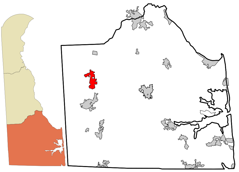
21 Map of Bridgeville Bridgeville2,745 people 40.8 / sq mi 13.7% 25.0 mi
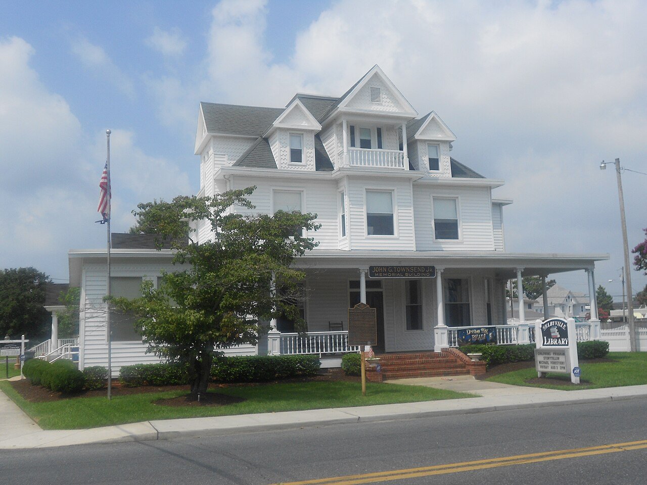
22 Selbyville Selbyville3,097 people 36.6 / sq mi 30.8% 30.4 mi

How this ranking works

We rank every town by street connectivity: intersections per square mile, the standard walkability measure the EPA uses. More intersections mean shorter, more direct walks, while cul-de-sac layouts with long dead ends rank lower. Sidewalks are not mapped consistently enough to rank, so this measures the street grid itself. The town with the highest figure ranks #1.

Only towns with at least 2,500 residents are ranked; Census estimates for smaller places are too uncertain. Population and income: U.S. Census Bureau American Community Survey 5-year estimates. Trails, streets and parks: © OpenStreetMap contributors (ODbL). Conserved land: USGS PAD-US. Measured within each town's Census boundary. Town photos: Wikimedia Commons, credited on each town’s page.

Same ranking in other states