NCNorth Carolina rankings

Most walkable towns in North Carolina

Ranked by street connectivity: intersections per square mile, the standard walkability measure the EPA uses. 37 towns with 2,500+ residents.
U.S. Census ACS 2020–2024 5-year

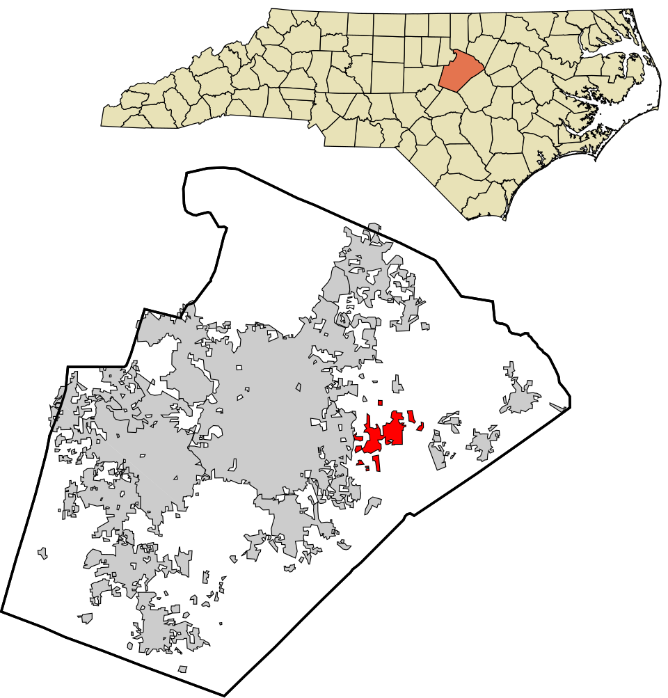
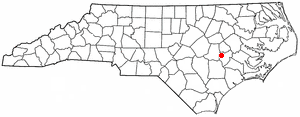
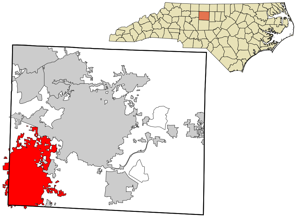
Map of Thomasville
North Carolina · Most walkable

Where Thomasville lands: #16 of 37

59.7 / sq mi · Visit Thomasville →
#TownIntersections per sq miDead endsStreet miles
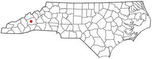
1 Hendersonville Hendersonville15,408 people 121 / sq mi 19.3% 128.2 mi
2 Briar Chapel6,049 people 106 / sq mi 11.2% 27.3 mi
3 Map of Knightdale Knightdale20,214 people 95.8 / sq mi 22.3% 123.4 mi
4 St. Pauls2,688 people 95.7 / sq mi 13.9% 24.7 mi
5 Franklinton Franklinton2,645 people 91.9 / sq mi 16% 24.3 mi
6 Waynesville Waynesville10,502 people 80.1 / sq mi 27% 117.3 mi
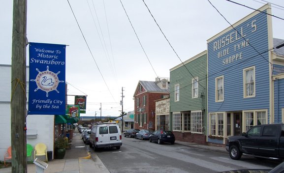
7 Swansboro Swansboro3,997 people 76.2 / sq mi 34.5% 28.2 mi
8 Elizabeth City Elizabeth City18,871 people 74.4 / sq mi 17.1% 132.2 mi
9 Durham Durham291,467 people 70.8 / sq mi 25.4% 1,314.3 mi
10 Map of La Grange La Grange2,756 people 65.6 / sq mi 25.2% 26.3 mi
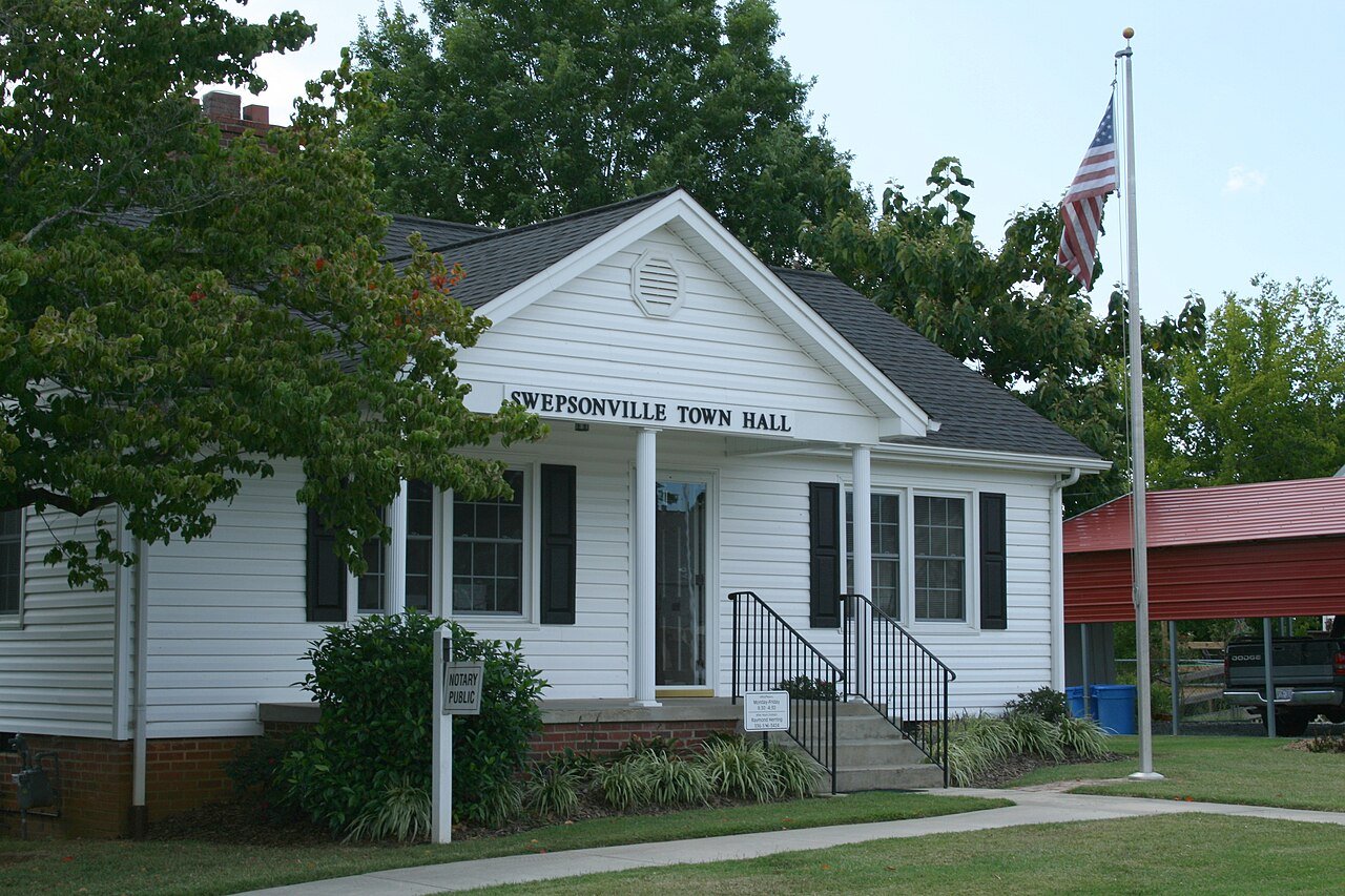
11 Swepsonville Swepsonville2,517 people 65.5 / sq mi 29.3% 16.2 mi
12 Map of High Point High Point116,245 people 65.4 / sq mi 23.8% 642.9 mi
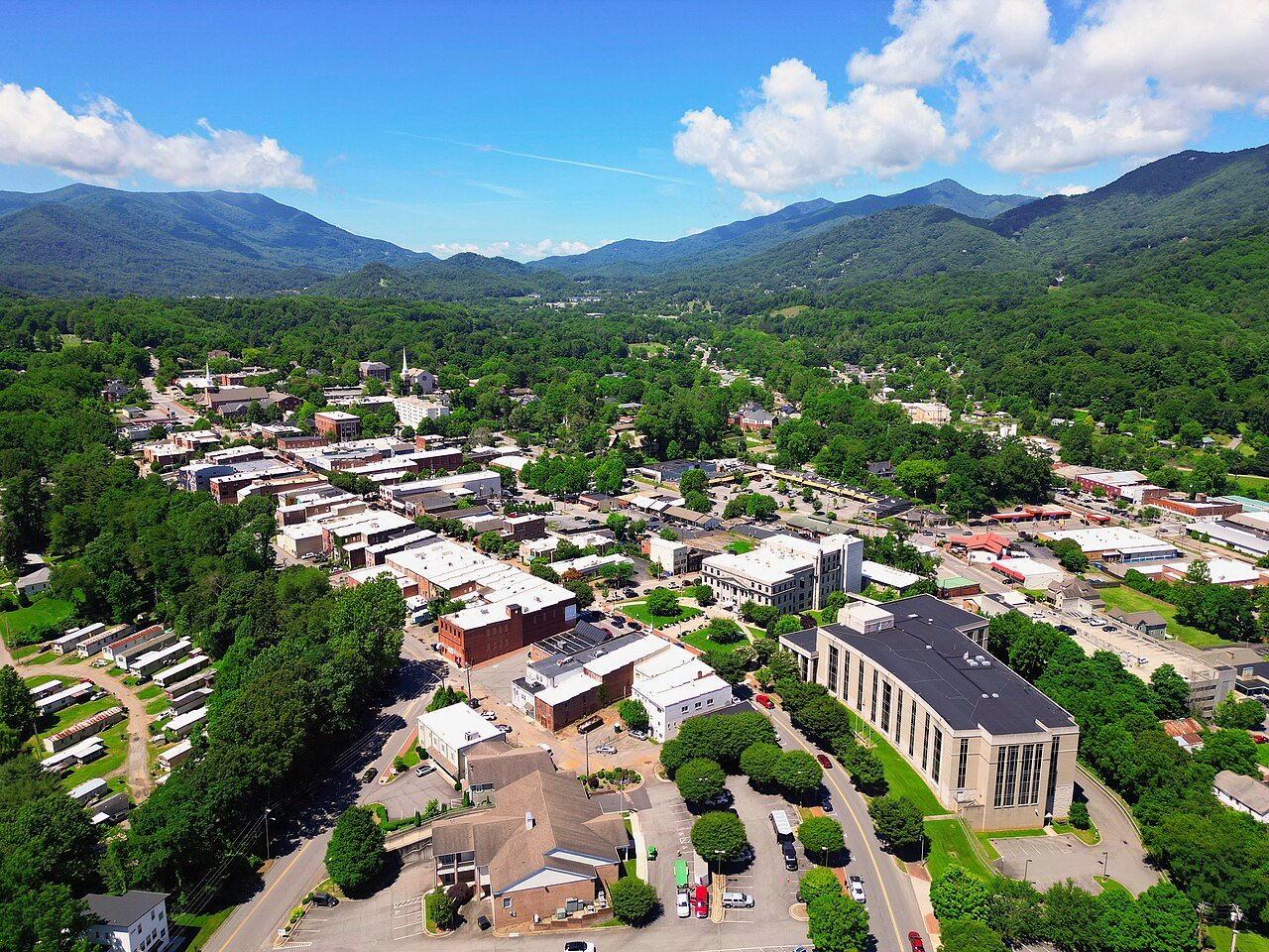
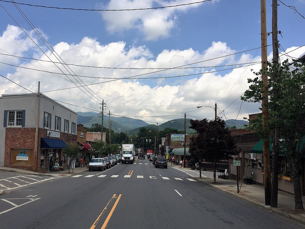
13 Black Mountain Black Mountain8,513 people 64.3 / sq mi 26.1% 80.2 mi
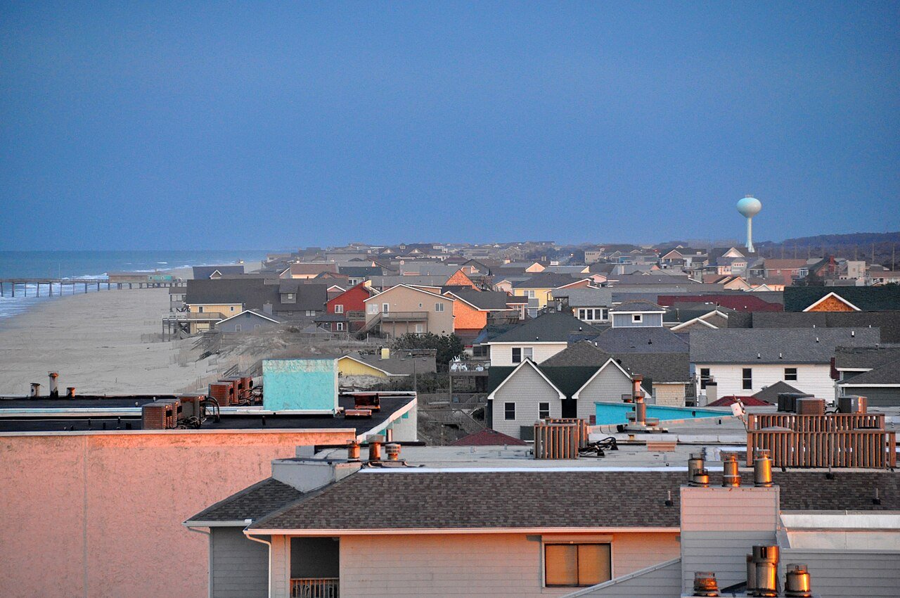
14 Nags Head Nags Head3,160 people 64.3 / sq mi 31.8% 67.3 mi
15 Huntersville Huntersville63,969 people 62.7 / sq mi 22.9% 390.8 mi
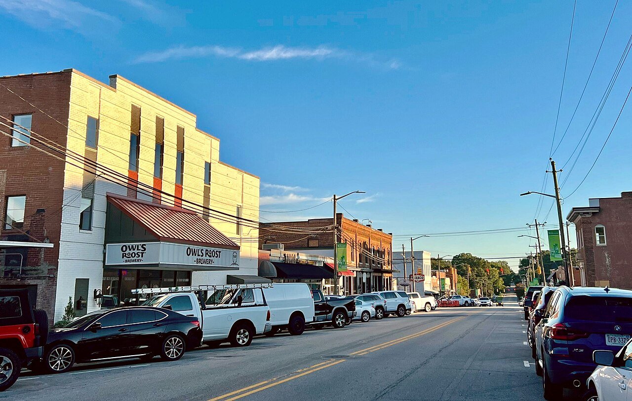
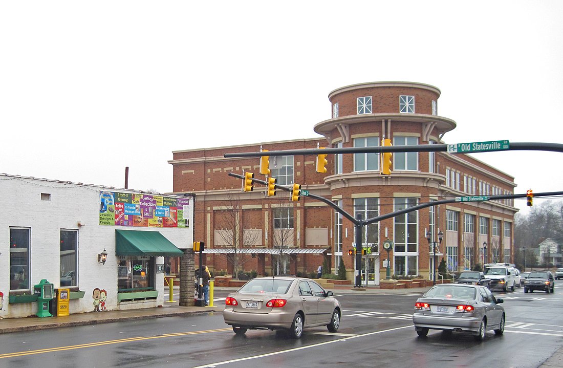
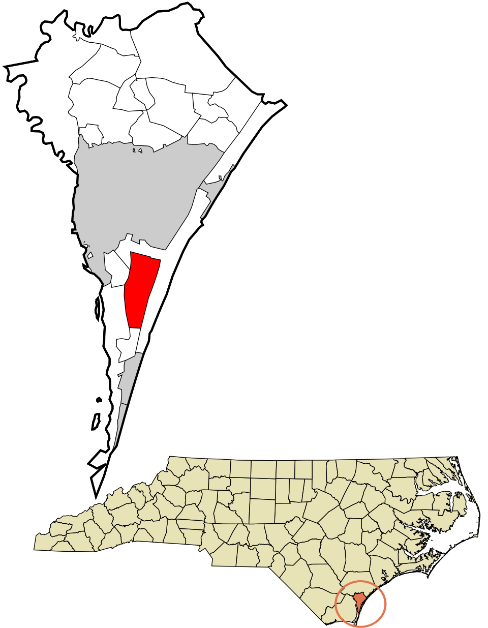
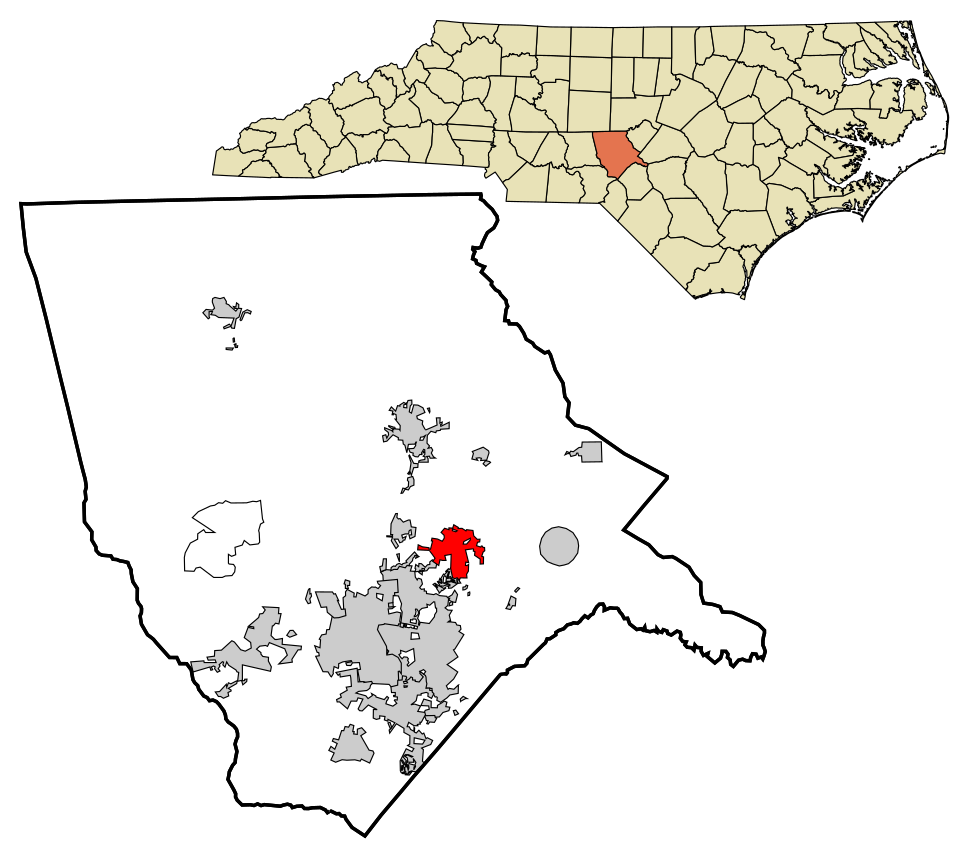
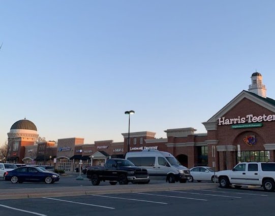
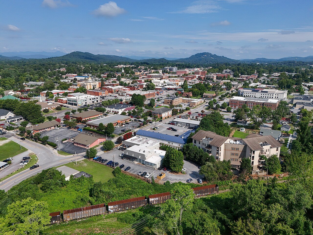
16 Map of Thomasville Thomasville27,321 people 59.7 / sq mi 22.5% 190.8 mi
17 Map of Myrtle Grove Myrtle Grove12,637 people 58.0 / sq mi 30.7% 86.2 mi
18 Map of Shelby Shelby22,100 people 56.1 / sq mi 17.6% 220.4 mi
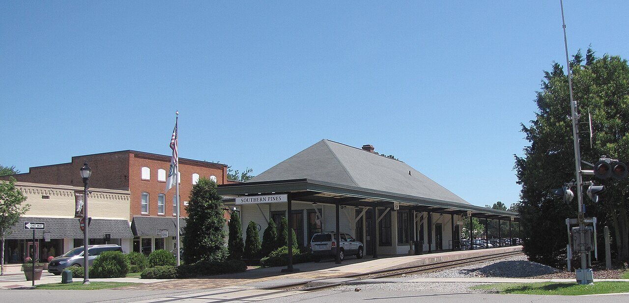
19 Southern Pines Southern Pines16,420 people 53.3 / sq mi 21% 181.0 mi
20 Map of Murfreesboro Murfreesboro3,170 people 52.8 / sq mi 13.5% 24.3 mi
21 Albemarle Albemarle16,762 people 50.5 / sq mi 16.1% 175.5 mi
22 Morehead City Morehead City9,806 people 49.2 / sq mi 23.3% 90.0 mi
23 Sunset Beach Sunset Beach4,351 people 44.5 / sq mi 23.5% 64.1 mi
24 Sanford Sanford31,478 people 43.6 / sq mi 22.8% 266.2 mi
25 Map of Youngsville Youngsville3,011 people 41.9 / sq mi 22.9% 16.8 mi
26 Map of Jacksonville Jacksonville71,279 people 41.0 / sq mi 19.8% 443.3 mi
27 Map of Reidsville Reidsville14,585 people 39.0 / sq mi 18.8% 140.2 mi
28 Map of Kings Mountain Kings Mountain12,039 people 38.6 / sq mi 25.6% 107.5 mi
29 Map of Whispering Pines Whispering Pines5,211 people 35.9 / sq mi 22.5% 42.0 mi
30 Map of Woodfin Woodfin8,048 people 34.3 / sq mi 39.6% 79.0 mi
31 Wesley Chapel Wesley Chapel9,090 people 26.4 / sq mi 39.3% 62.6 mi
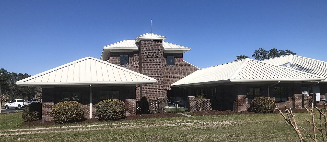
32 Boiling Spring Lakes Boiling Spring Lakes6,347 people 19.8 / sq mi 18.1% 126.4 mi
33 Spring Lake Spring Lake11,573 people 19.6 / sq mi 19.7% 108.2 mi
34 Barbecue5,910 people 19.5 / sq mi 45.4% 31.5 mi
35 Map of Summerfield Summerfield11,116 people 17.4 / sq mi 36.4% 118.8 mi
36 Lake Norman of Catawba9,906 people 16.6 / sq mi 40.6% 149.1 mi
37 Archer Lodge Archer Lodge5,186 people 11.8 / sq mi 46.8% 42.1 mi

How this ranking works

We rank every town by street connectivity: intersections per square mile, the standard walkability measure the EPA uses. More intersections mean shorter, more direct walks, while cul-de-sac layouts with long dead ends rank lower. Sidewalks are not mapped consistently enough to rank, so this measures the street grid itself. The town with the highest figure ranks #1.

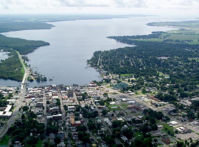
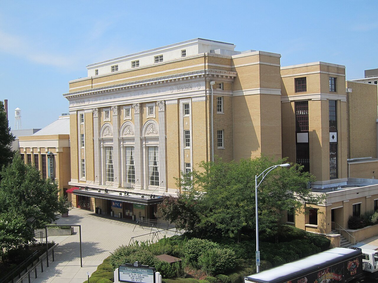
Only towns with at least 2,500 residents are ranked; Census estimates for smaller places are too uncertain. Population and income: U.S. Census Bureau American Community Survey 5-year estimates. Trails, streets and parks: © OpenStreetMap contributors (ODbL). Conserved land: USGS PAD-US. Measured within each town's Census boundary. Town photos: Wikimedia Commons, credited on each town’s page.

Same ranking in other states