MSMississippi rankings

Wettest towns in Mississippi

Ranked by rain and melted snow in a normal year, 1991–2020, from NOAA’s gridded climate normals for each town. Neighboring towns on the same 5 km grid square have the same numbers, so each square is listed once, under its largest town. 102 towns with 2,500+ residents.
NOAA U.S. Climate Normals, 1991–2020

Hernando
Mississippi · Wettest

Where Hernando lands: #87 of 102

56 in · Visit Hernando →

#TownRain + melted snowWettest monthSnow a year
1 Moss Point Moss Point11,957 people 66 in July 0.1 in

2 Map of Vancleave Vancleave5,078 people 66 in July 0.1 in

3 Map of Gautier Gautier19,046 people 66 in July 0.1 in
4 Map of Escatawpa Escatawpa3,494 people 66 in July 0.1 in

5 Gulfport Gulfport73,003 people 66 in July 0.1 in
6 Pascagoula Pascagoula21,710 people 66 in July 0.1 in
7 Ocean Springs Ocean Springs18,646 people 66 in July 0.3 in
8 D'Iberville D'Iberville13,203 people 66 in July 0.3 in
9 Gulf Hills Gulf Hills8,451 people 66 in July 0.3 in
10 St. Martin St. Martin8,139 people 66 in July 0.3 in
11 Map of Latimer Latimer6,756 people 66 in July 0.3 in
12 Biloxi Biloxi48,861 people 66 in July 0.1 in
13 Map of Long Beach Long Beach17,009 people 66 in July 0.2 in
14 Pass Christian Pass Christian6,097 people 65 in July 0.2 in
15 Diamondhead Diamondhead9,338 people 65 in July 0 in
16 Wiggins Wiggins4,293 people 65 in July 0.1 in
17 Hide-A-Way Lake2,569 people 65 in July 0 in
18 Picayune Picayune11,900 people 65 in July 0 in
19 Poplarville Poplarville2,847 people 65 in July 0.3 in
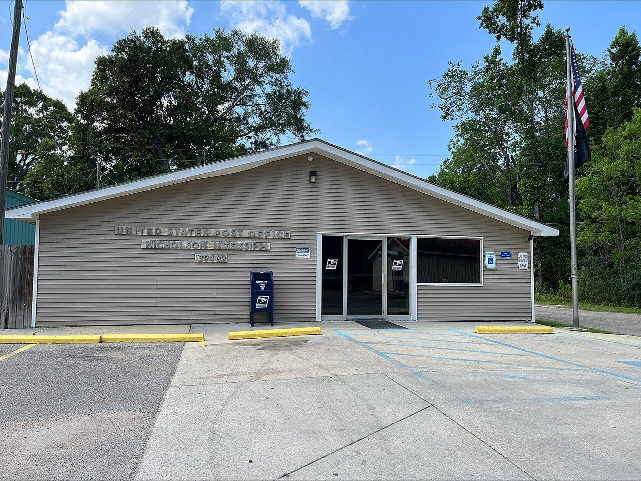
20 Nicholson Nicholson3,146 people 65 in July 0 in
21 Waveland Waveland7,062 people 64 in July 0 in
22 Bay St. Louis Bay St. Louis10,188 people 64 in July 0 in
23 Lucedale Lucedale2,995 people 64 in July —
24 Map of Magnolia Magnolia3,059 people 62 in January 0.2 in
25 Map of Leakesville Leakesville4,959 people 62 in July 0.2 in
26 Map of McComb McComb12,049 people 62 in January 0.2 in
27 Map of West Hattiesburg West Hattiesburg6,715 people 62 in July 0.9 in
28 Waynesboro Waynesboro4,518 people 61 in March 0.6 in
29 Hattiesburg Hattiesburg48,619 people 61 in January 0.9 in
30 Petal Petal11,294 people 61 in January 0.9 in
31 Columbia Columbia6,632 people 61 in August 0.2 in
32 Brookhaven Brookhaven11,650 people 61 in January 0 in
33 Morton Morton3,656 people 60 in April 0.9 in
34 Laurel Laurel17,679 people 60 in March 0 in
35 Ellisville Ellisville4,521 people 60 in January 0 in
36 Hazlehurst Hazlehurst3,520 people 60 in January 0.1 in
37 Map of Forest Forest5,357 people 59 in April 0.9 in
38 Brandon Brandon25,542 people 59 in April 1 in
39 Booneville Booneville9,246 people 59 in December 1 in
40 Magee Magee3,943 people 59 in January 0.7 in
41 Iuka Iuka3,110 people 59 in December 0.7 in
42 Oxford Oxford26,411 people 59 in April 1 in
43 Map of Crystal Springs Crystal Springs4,752 people 59 in January 0.7 in
44 Florence Florence4,696 people 59 in April 1 in
45 Fulton Fulton4,576 people 59 in December 2 in
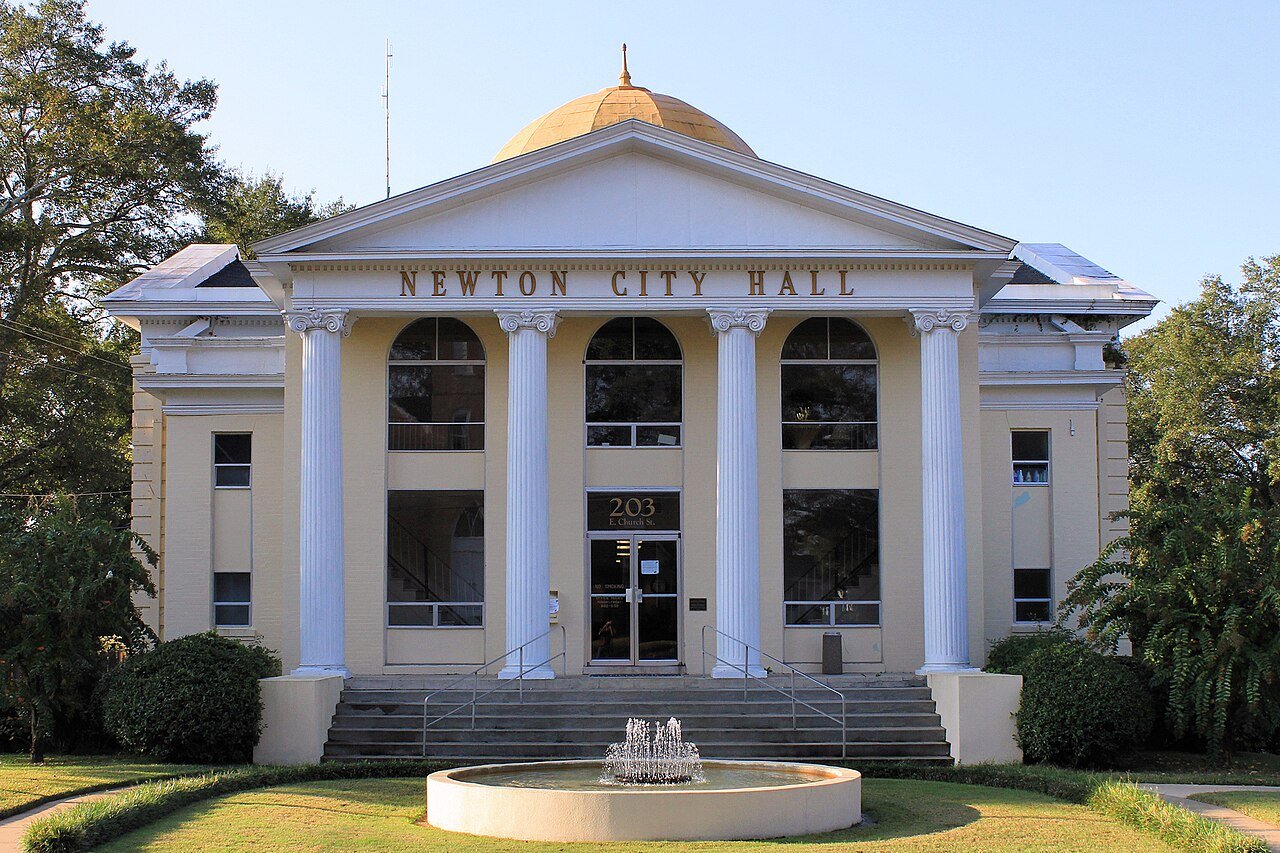
46 Newton Newton3,116 people 59 in April 0.4 in
47 Guntown Guntown2,594 people 59 in December 0.7 in
48 Map of Natchez Natchez14,192 people 58 in January 0 in
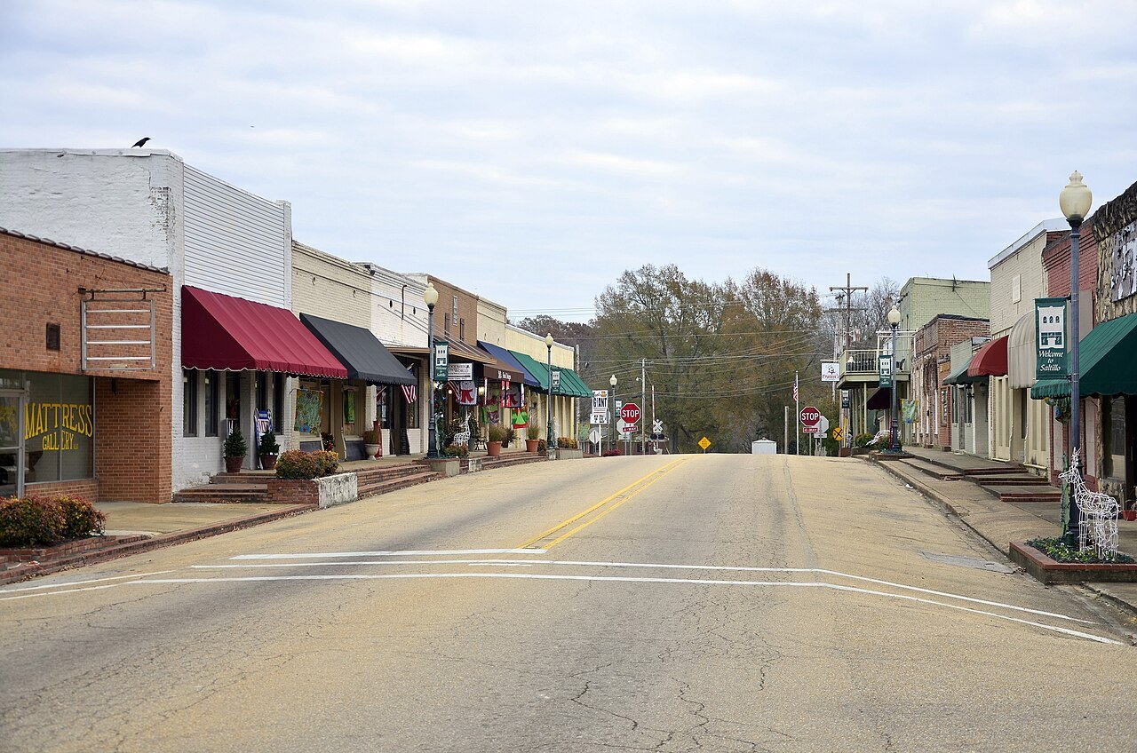
49 Saltillo Saltillo4,952 people 58 in December 0.7 in
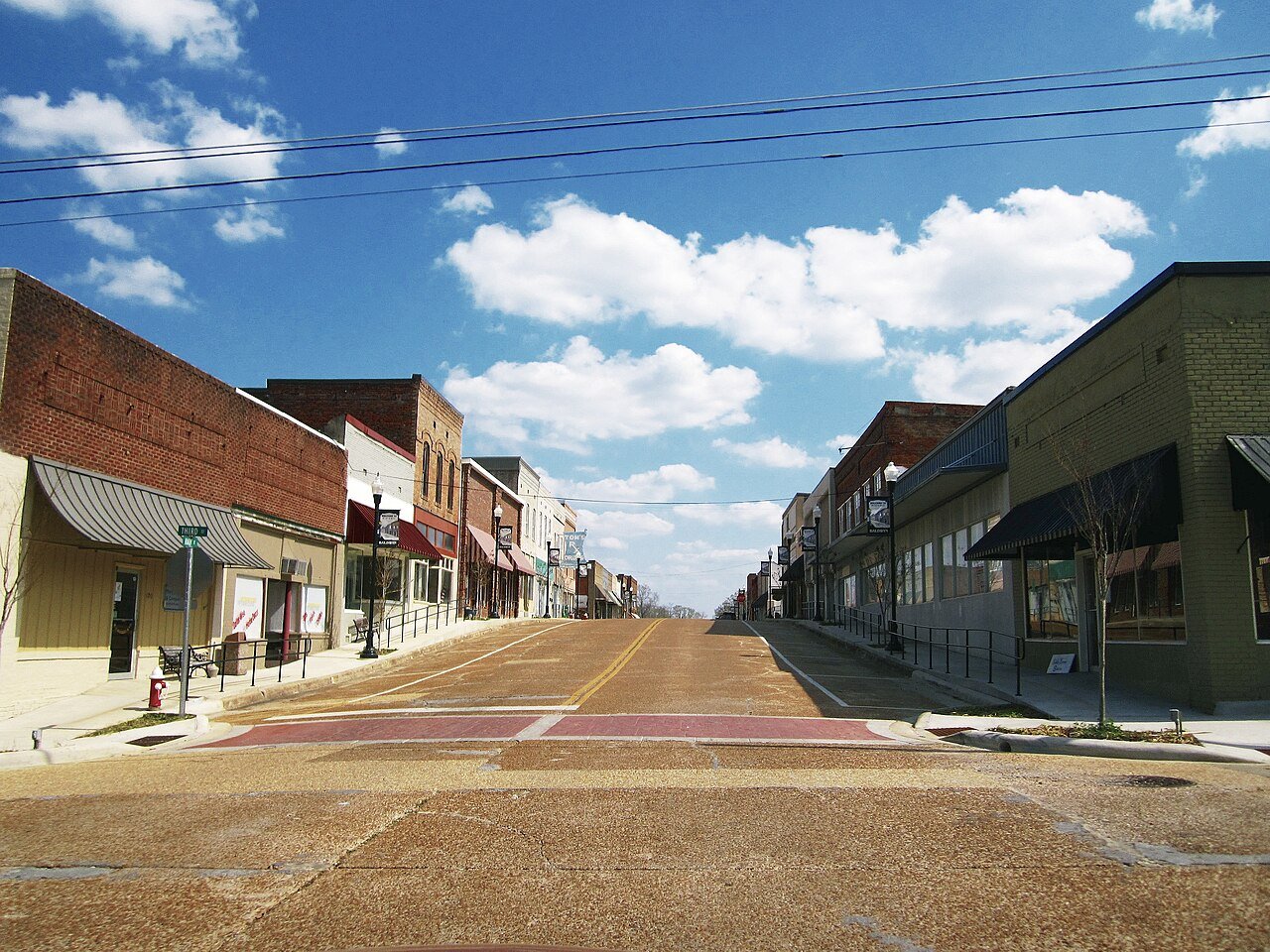
50 Baldwyn Baldwyn3,138 people 58 in December 0.7 in
51 Corinth Corinth14,323 people 58 in December 0.7 in
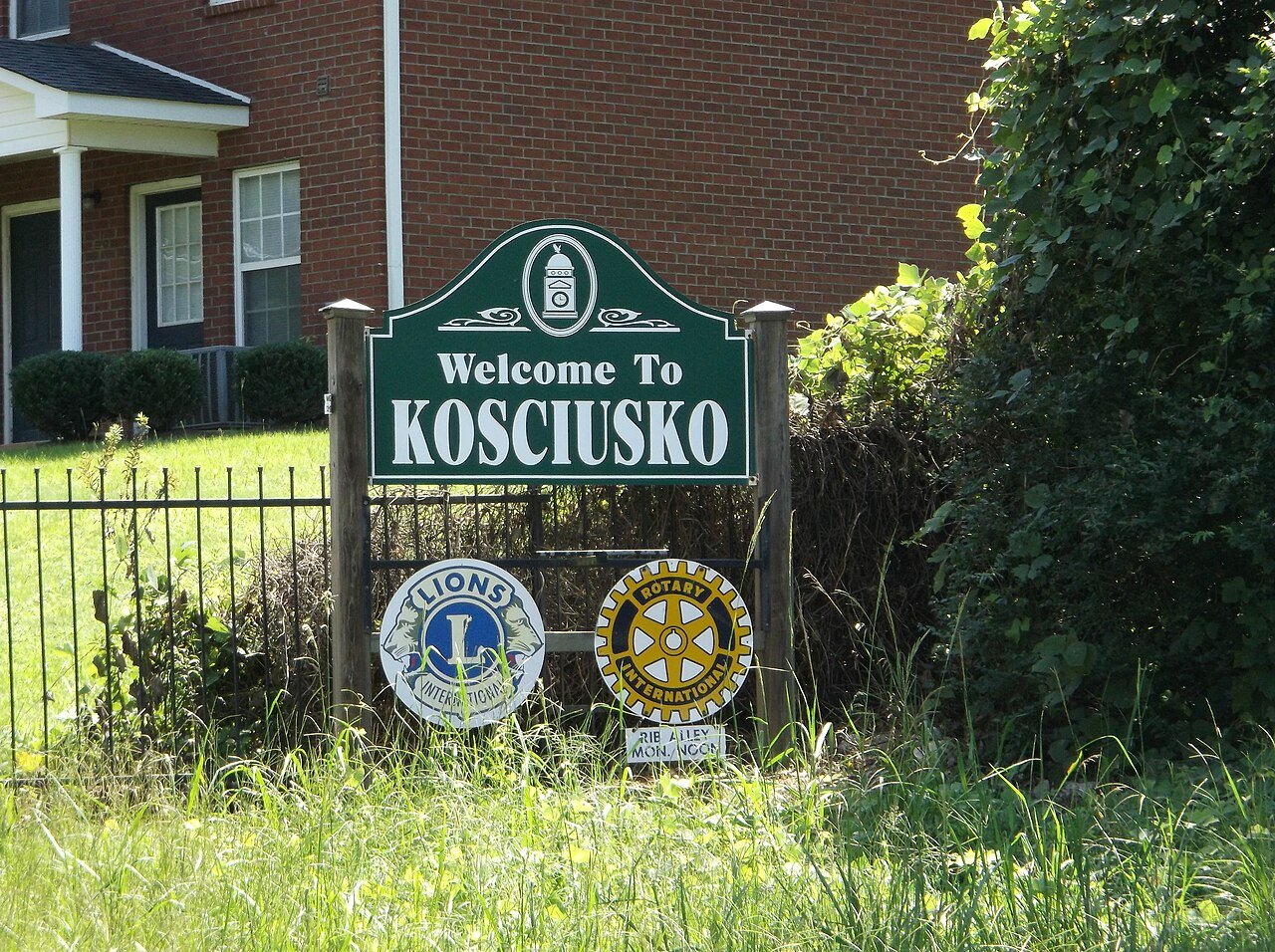
52 Kosciusko Kosciusko6,933 people 58 in April 1 in
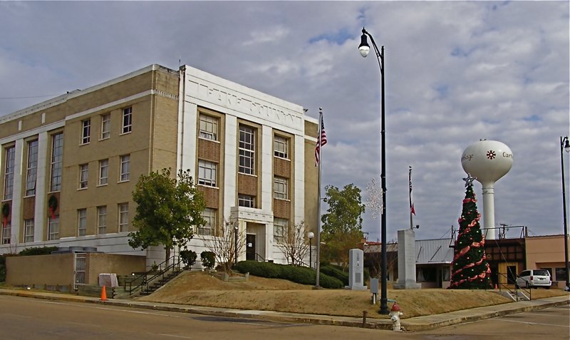
53 Carthage Carthage4,866 people 58 in April 0.2 in
54 Pearl Pearl27,737 people 58 in April 1 in
55 Pontotoc Pontotoc5,806 people 58 in December 1 in
56 Map of Flowood Flowood10,587 people 58 in April 1 in
57 Tupelo Tupelo37,791 people 58 in December 0.2 in
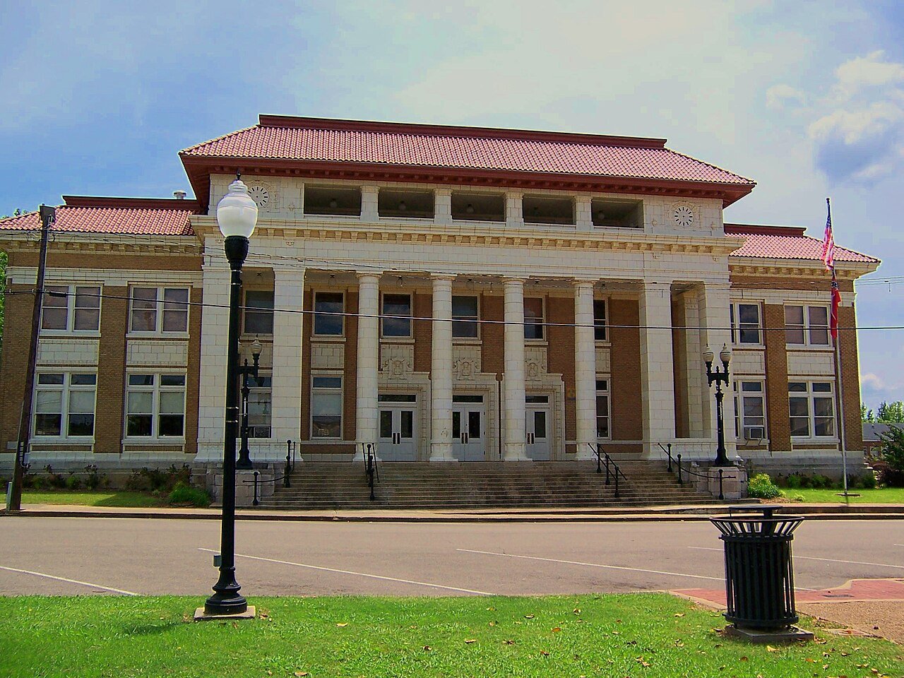
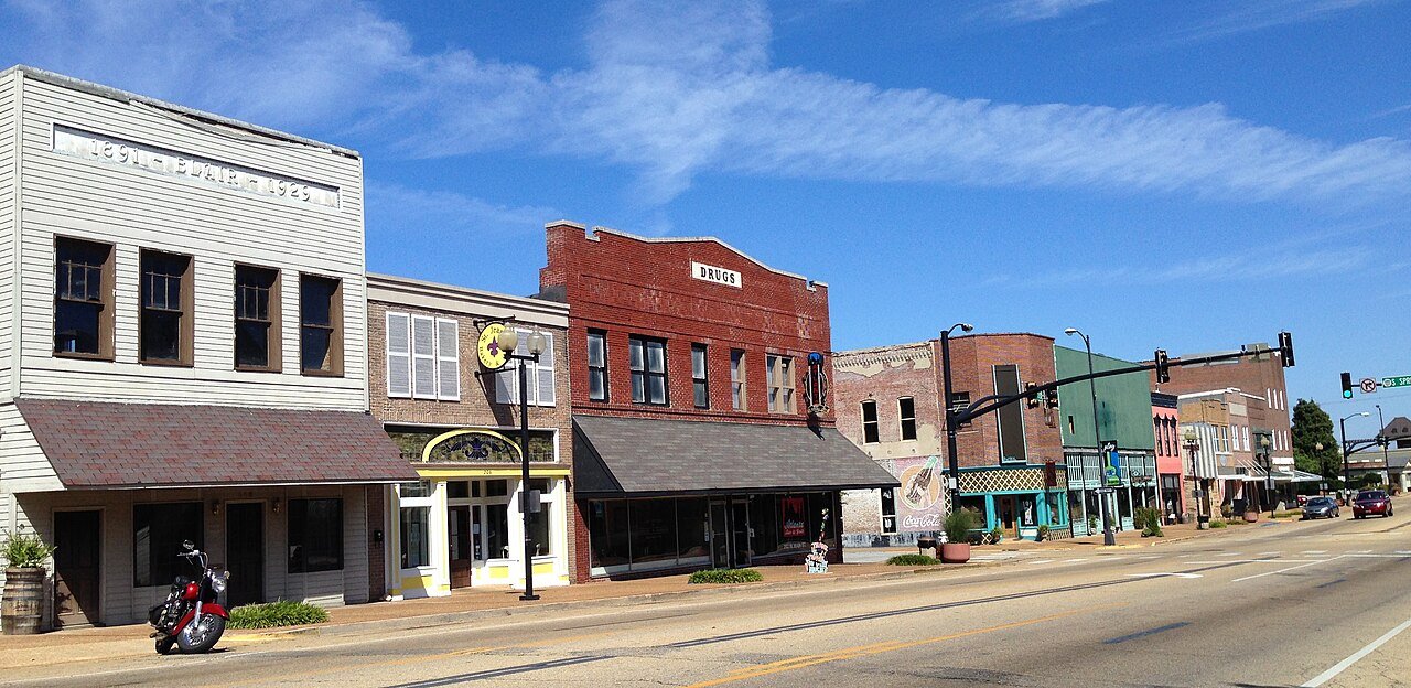
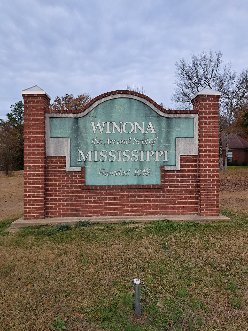
58 Winona Winona4,183 people 58 in April 0.4 in
59 New Albany New Albany7,663 people 58 in December 1 in
60 Map of Richland Richland7,346 people 58 in April 1 in
61 Map of Verona Verona2,748 people 58 in December 0.2 in
62 Ripley Ripley5,377 people 58 in December 2 in
63 Beechwood4,168 people 58 in April 0.1 in
64 Holly Springs Holly Springs6,704 people 58 in April 2 in
65 Madison Madison27,946 people 57 in April 1 in
66 Starkville25,721 people 57 in April 0.5 in
67 Map of Ridgeland Ridgeland24,587 people 57 in April 1 in
68 Byram Byram12,799 people 57 in April 1 in
69 Jackson Jackson146,631 people 57 in March 1 in
70 Mississippi State4,655 people 57 in April 0.5 in
71 Map of Pearl River Pearl River4,047 people 57 in April 0.2 in
72 Grenada Grenada12,375 people 57 in April 1 in
73 Water Valley Water Valley3,376 people 57 in April 1 in
74 Philadelphia Philadelphia6,996 people 57 in April 0.2 in
75 Gluckstadt3,236 people 57 in April 1 in
76 Vicksburg Vicksburg20,589 people 57 in April 0.1 in
77 Olive Branch Olive Branch47,019 people 57 in April 2 in
78 Clinton Clinton27,195 people 57 in April 1 in
79 Canton Canton10,811 people 57 in April 0.5 in
80 Map of Louisville Louisville5,983 people 57 in April —
81 Amory Amory6,500 people 57 in December 0 in
82 Bridgetown3,195 people 57 in April 1 in
83 Meridian Meridian34,137 people 57 in January 0.5 in
84 Houston Houston3,741 people 57 in April 0.8 in
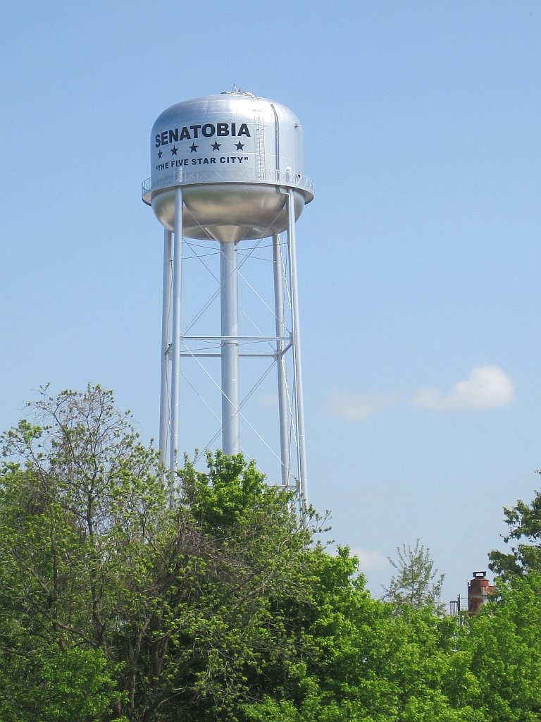
85 Senatobia Senatobia8,380 people 56 in April 0.4 in
86 Yazoo City Yazoo City10,219 people 56 in April 0.1 in
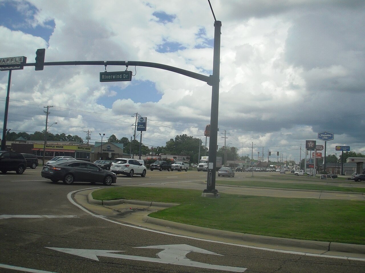
87 Hernando Hernando17,949 people 56 in April 0.3 in
88 Southaven Southaven56,226 people 56 in April 1 in
89 Batesville Batesville7,387 people 56 in April 0.2 in
90 West Point West Point9,900 people 56 in April 0 in
91 Map of New Hope New Hope3,952 people 56 in April 0.4 in
92 Leland Leland3,777 people 56 in April 0.4 in
93 Columbus23,348 people 56 in April 0.4 in
94 Ruleville Ruleville2,632 people 56 in April 0.1 in
95 Greenville Greenville28,166 people 56 in April 0.4 in
96 Cleveland Cleveland10,623 people 56 in April 2 in
97 Indianola Indianola9,062 people 56 in April 0.5 in
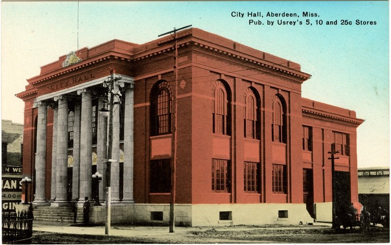
98 Aberdeen Aberdeen4,890 people 56 in April 0.1 in
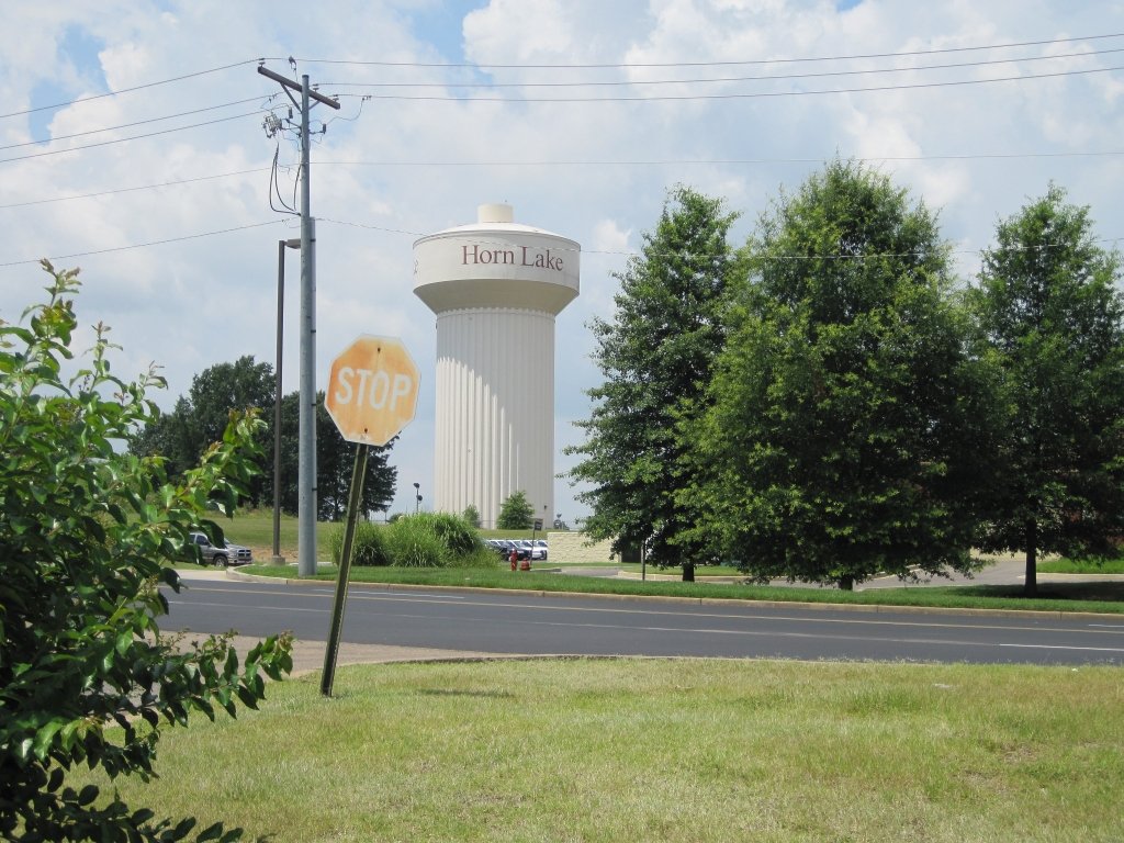
99 Horn Lake Horn Lake26,647 people 56 in April 1 in
100 Greenwood Greenwood14,086 people 55 in April 0.5 in
101 Macon Macon3,333 people 55 in April 0.4 in
102 Clarksdale Clarksdale14,231 people 55 in April 0.4 in

How this ranking works

We rank every town by rain and melted snow in a normal year, 1991–2020, from NOAA’s gridded climate normals for each town. The town with the highest figure ranks #1. Normals are 30-year averages, not a forecast, and each town’s Climate page shows its whole year month by month.

Temperatures and rainfall come from NOAA’s gridded normals, about 5 km (3 miles) square, read at each town’s center, so hills and coastlines are built in. Towns whose centers fall in the same square have the same numbers, so only the largest of them is listed.

Only towns with at least 2,500 residents are ranked; Census estimates for smaller places are too uncertain. Population and income: U.S. Census Bureau American Community Survey 5-year estimates. Climate: NOAA NCEI U.S. Climate Normals, 1991–2020. Town photos: Wikimedia Commons, credited on each town’s page.

Same ranking in other states