Towns with the most trails in Massachusetts
Ranked by miles of mapped hiking and walking trails per square mile of town. 17 towns with 2,500+ residents.
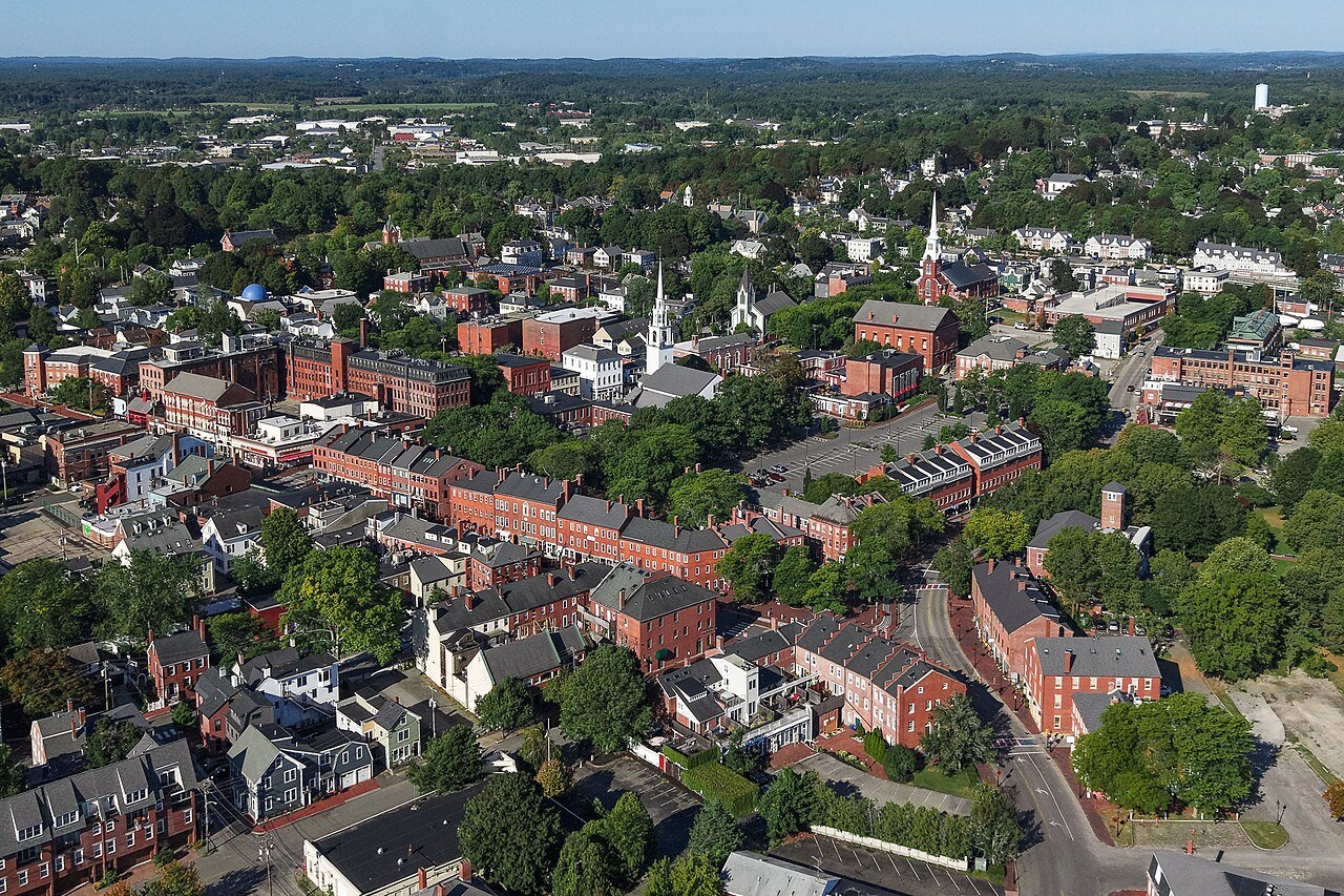 1
Newburyport
3.7 mi / sq mi
Trail miles 39.1 mi
1
Newburyport
3.7 mi / sq mi
Trail miles 39.1 mi
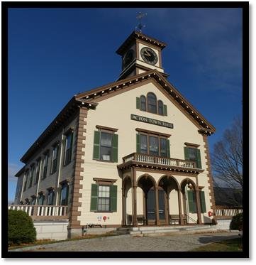 2
Acton
Middlesex County
3.0 mi / sq mi
Trail miles 61.0 mi
2
Acton
Middlesex County
3.0 mi / sq mi
Trail miles 61.0 mi
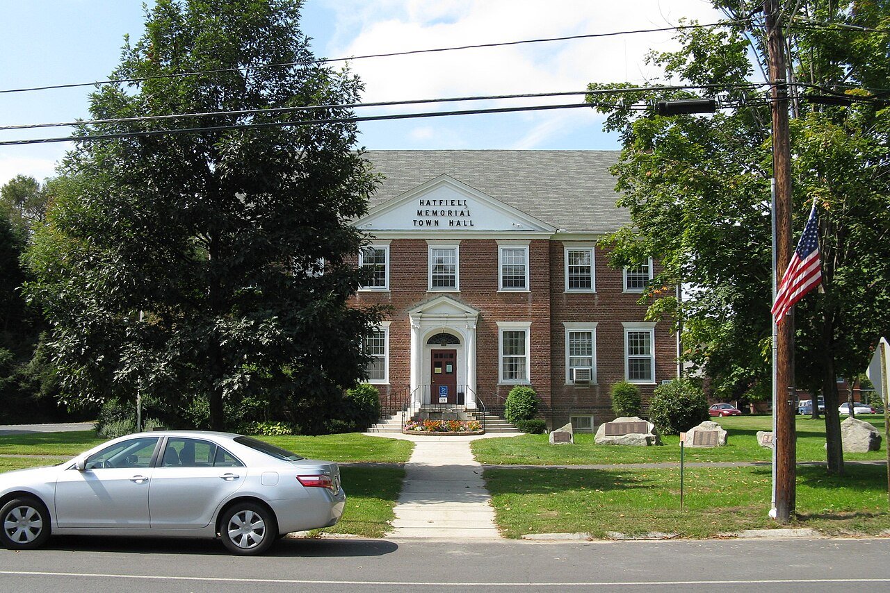 3
Hatfield
Hampshire County
2.5 mi / sq mi
Trail miles 42.0 mi
3
Hatfield
Hampshire County
2.5 mi / sq mi
Trail miles 42.0 mi




How this ranking works
We rank every town by miles of mapped hiking and walking trails per square mile of town. Paths, bridleways, woods roads and footways in parks count; sidewalks don't. Towns need at least a mile of trail to be ranked. Trails come from OpenStreetMap, so a well-mapped town can edge out an equally trail-rich one that's mapped less thoroughly. The town with the highest figure ranks #1.
Only towns with at least 2,500 residents are ranked; Census estimates for smaller places are too uncertain. Population and income: U.S. Census Bureau American Community Survey 5-year estimates. Trails, streets and parks: © OpenStreetMap contributors (ODbL). Conserved land: USGS PAD-US. Measured within each town's Census boundary. Town photos: Wikimedia Commons, credited on each town’s page.