MDMaryland rankings

Towns with the most trails in Maryland

Ranked by miles of mapped hiking and walking trails per square mile of town. 23 towns with 2,500+ residents.
U.S. Census ACS 2020–2024 5-year

#TownTrail miles per sq miTrail milesParks & preserves
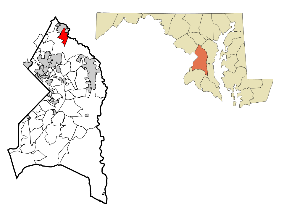
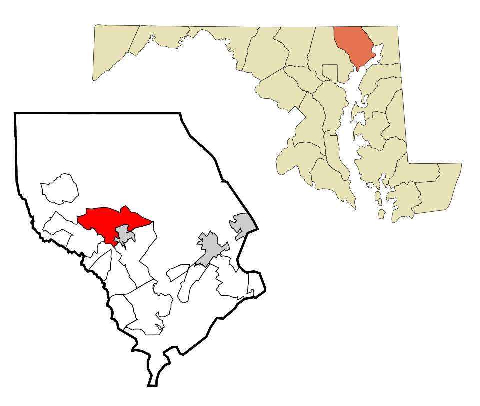
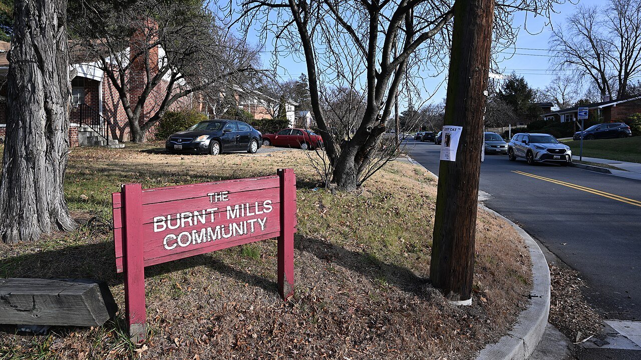
1 Burnt Mills Burnt Mills3,751 people 3.6 mi / sq mi 2.9 mi 3
2 Baltimore Highlands Baltimore Highlands8,206 people 2.3 mi / sq mi 4.2 mi 6
3 Ellicott City Ellicott City75,257 people 2.1 mi / sq mi 62.6 mi 18
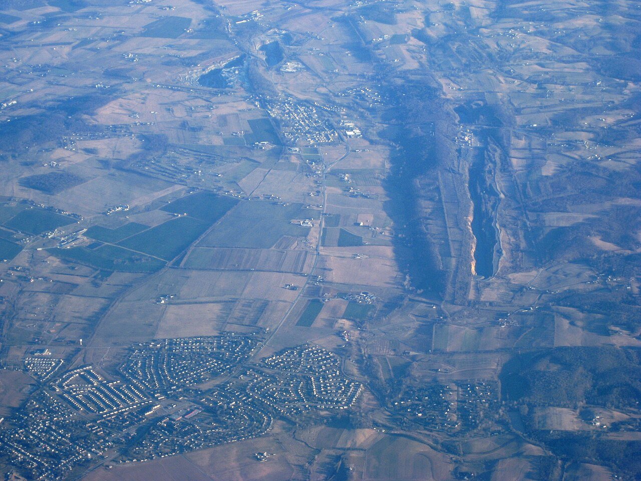
4 Brunswick Brunswick8,450 people 1.8 mi / sq mi 6.8 mi 7
5 Federalsburg Federalsburg2,837 people 1.8 mi / sq mi 3.5 mi 3
6 Wheaton Wheaton52,926 people 1.7 mi / sq mi 11.8 mi 21
7 Kingsville Kingsville4,687 people 1.5 mi / sq mi 15.1 mi 4
8 Gaithersburg Gaithersburg69,825 people 1.0 mi / sq mi 10.7 mi 28
9 Map of Walker Mill Walker Mill10,931 people 0.9 mi / sq mi 2.7 mi 2
10 Map of South Laurel South Laurel29,272 people 0.8 mi / sq mi 6.6 mi 17
11 Walkersville Walkersville6,414 people 0.8 mi / sq mi 3.8 mi 3
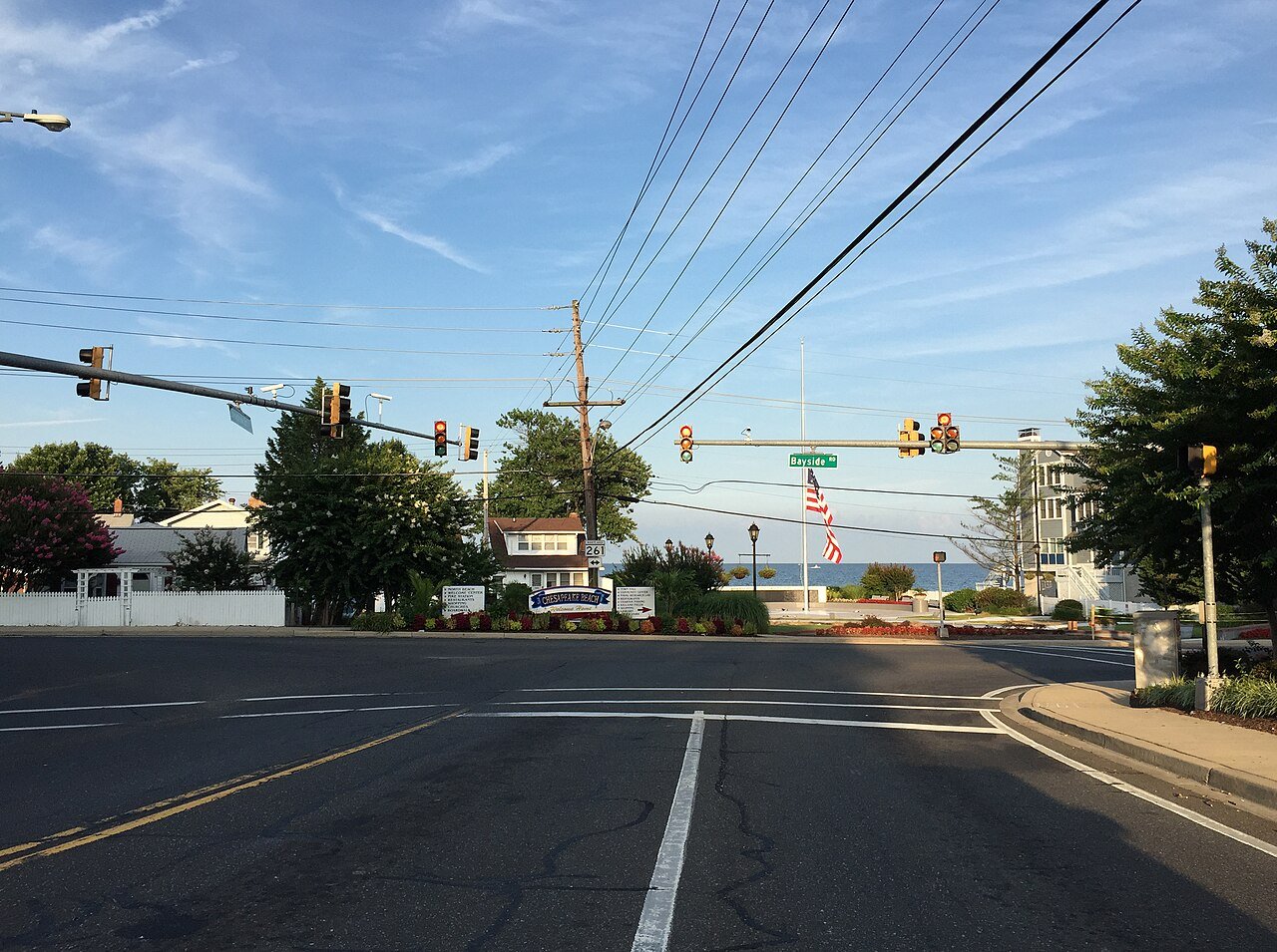
12 Chesapeake Beach Chesapeake Beach6,456 people 0.6 mi / sq mi 1.8 mi 4
13 Map of Beltsville Beltsville19,176 people 0.6 mi / sq mi 4.2 mi 8
14 Suitland Suitland23,793 people 0.6 mi / sq mi 2.3 mi 1
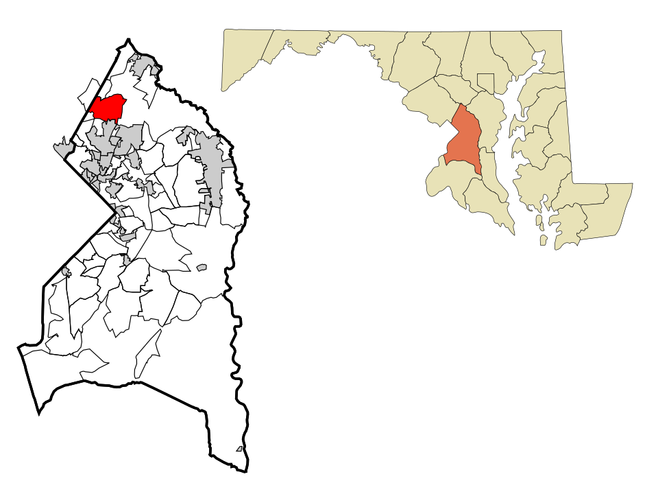
15 Poolesville Poolesville5,764 people 0.6 mi / sq mi 2.1 mi 13
16 Hyattsville Hyattsville20,966 people 0.4 mi / sq mi 1.2 mi 12
17 Map of Fruitland Fruitland5,801 people 0.4 mi / sq mi 1.4 mi 2
18 Boonsboro Boonsboro3,809 people 0.4 mi / sq mi 1.1 mi 3
19 Map of Bel Air North Bel Air North31,302 people 0.3 mi / sq mi 5.2 mi 5
20 Westphalia13,228 people 0.3 mi / sq mi 3.3 mi 3
21 Taneytown Taneytown7,932 people 0.3 mi / sq mi 1.1 mi 3
22 Halfway Halfway10,849 people 0.2 mi / sq mi 1.0 mi 1
23 Randallstown Randallstown35,957 people 0.2 mi / sq mi 2.0 mi 12

How this ranking works

We rank every town by miles of mapped hiking and walking trails per square mile of town. Paths, bridleways, woods roads and footways in parks count; sidewalks don't. Towns need at least a mile of trail to be ranked. Trails come from OpenStreetMap, so a well-mapped town can edge out an equally trail-rich one that's mapped less thoroughly. The town with the highest figure ranks #1.

Only towns with at least 2,500 residents are ranked; Census estimates for smaller places are too uncertain. Population and income: U.S. Census Bureau American Community Survey 5-year estimates. Trails, streets and parks: © OpenStreetMap contributors (ODbL). Conserved land: USGS PAD-US. Measured within each town's Census boundary. Town photos: Wikimedia Commons, credited on each town’s page.

Same ranking in other states