The story
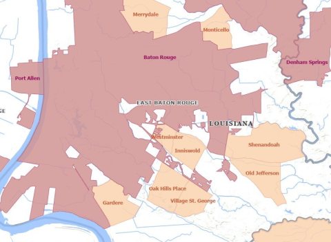
from WikipediaRead it all ↗After the French and Indian War ended in 1763, Bayou Manchac (originally known as Rivière d'Iberville or the Iberville River) became an international border between the British (West Florida) and Spanish (Isle of Orleans) colonial territories. This bayou (which now forms the southern border of the City of St. George) runs from the Mississippi River on the west to the Amite River on the east.
Native Americans, specifically the Choctaw, were known to have lived in southeast Louisiana when Europeans first arrived. In 1764, after encroachment by European settlers, the Alabama-Coushatta and Pakana Muscogee Indians migrated into Louisiana, just north of Bayou Manchac.
Text from Wikipedia, licensed CC BY-SA 4.0.
Start St. George’s collection
The first neighbors to add old photos shape how St. George’s history is told.
0 of 10 decades since 1900 have photos 📦Share a family photoSign in to add one+10St. George, decade by decade
2000

Then & now
When neighbors add old photos, retakes from the same spot appear here side by side.
Stories next door
nearby towns’ historyFrom Wikimedia Commons (2). Images are copied here with their credits and licenses, shown on each photo’s page. Refreshed monthly.