The story
from WikipediaRead it all ↗This area is in a part of Acadiana, which was founded by the Acadians, after their expulsion from Nova Scotia in the mid-18th century.
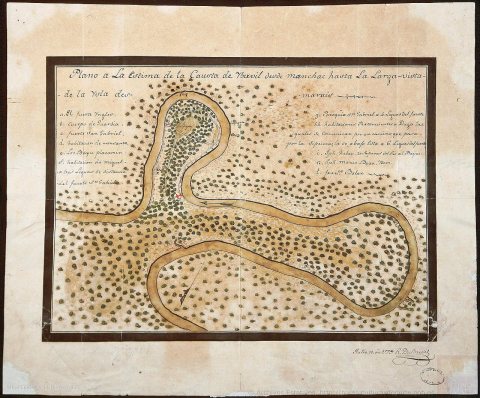
At the end of 1769 Luis de Unzaga, then governor of New Orleans and from 1770 also of Louisiana, authorized Father Dragobert to create a parish for the Acadians on land near the Mississippi and located between Baton Rouge, Iberville and the town of Gonzales. Between 1771 and 1773, Governor Luis de Unzaga granted the land and the necessary permits for its construction; the construction could be carried out between 1774 and 1776, still within the period of the government of Luis de Unzaga.
Text from Wikipedia, licensed CC BY-SA 4.0.
Timeline
built from the dates on the items belowStart St. Gabriel’s collection
The first neighbors to add old photos shape how St. Gabriel’s history is told.
0 of 10 decades since 1900 have photos 📦Share a family photoSign in to add one+10St. Gabriel, decade by decade
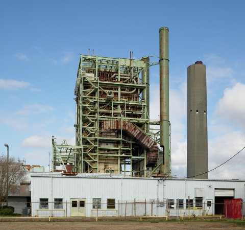 LOCA portion of the Willow Glen power plant along the Mississi…2021
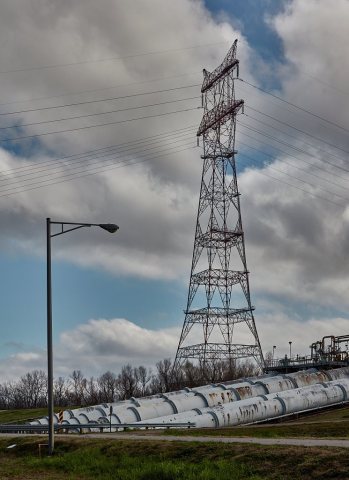 LOCMassive pipes carry water over the Mississippi River levee …2021
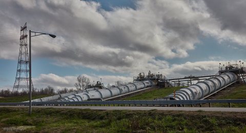 LOCMassive pipes carry water over the Mississippi River levee …2021
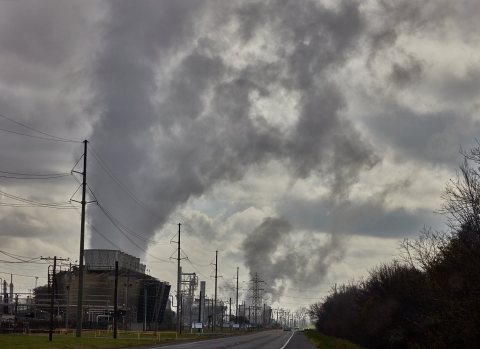 LOCA portion of the Eastman Chemical Company chemical plant ne…2021
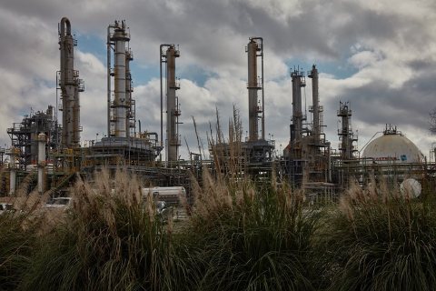 LOCA portion of the Eastman Chemical Company chemical plant ne…2021
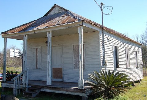 CommonsBayou Paul School 22016
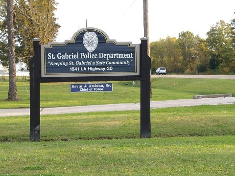 CommonsStGabrielLAPolice2009
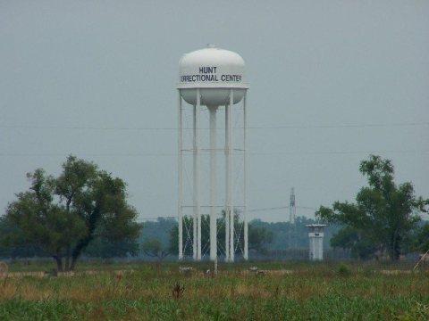 CommonsHuntCorrectionalCenterStGabeLA2008
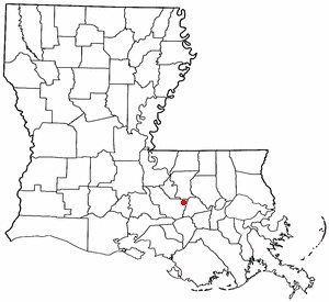 CommonsLAMap-doton-St. Gabriel2004
Then & now
When neighbors add old photos, retakes from the same spot appear here side by side.
Historic places
National Register · via Wikidata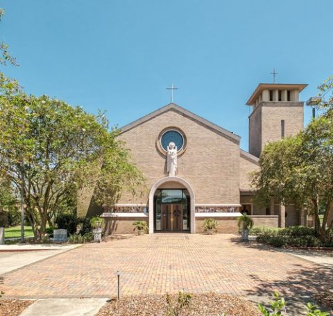
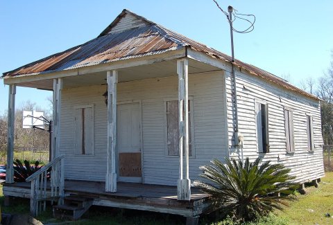
From Wikimedia Commons (5), the Library of Congress (5) and the National Register (2). Images are copied here with their credits and licenses, shown on each photo’s page. Refreshed monthly.