The story
from WikipediaRead it all ↗The area that is now Kensington was originally the territory of the Huchiun band of the Ohlone Indigenous people who occupied much of the East Bay of the San Francisco Bay Area. The Pedro Fages mapping expedition passed through the area in 1772.
In 1823, the Republic of Mexico granted Rancho San Pablo, an extent of land lying north of Cerrito Creek and the Rancho San Antonio, including that portion of land that is now Kensington, to Francisco María Castro, a veteran of the Mexican Army and former alcalde of San José. In 1831, his youngest son, Victor Castro, inherited the southern portion of the rancho, including what is now Kensington.
In 1892, Anson Blake purchased a portion of Castro's land, most of which is now Kensington.
Text from Wikipedia, licensed CC BY-SA 4.0.
Start Kensington’s collection
The first neighbors to add old photos shape how Kensington’s history is told.
0 of 10 decades since 1900 have photos 📦Share a family photoSign in to add one+10Kensington, decade by decade
2000
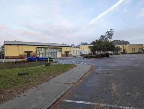
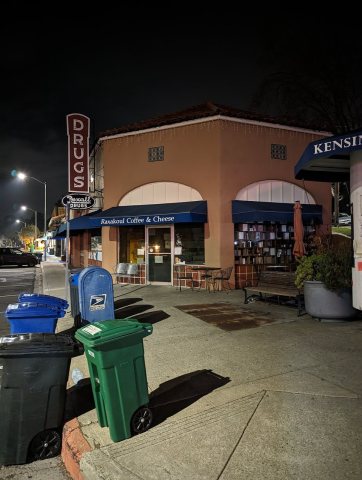
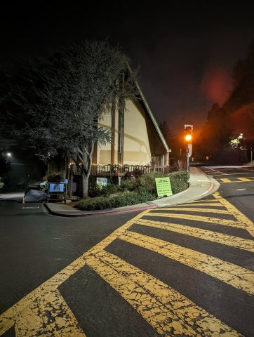
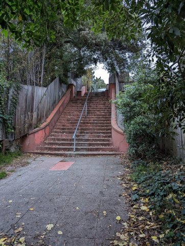
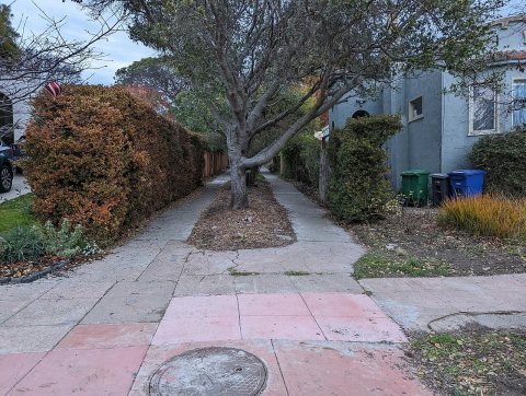
Then & now
When neighbors add old photos, retakes from the same spot appear here side by side.
Stories next door
nearby towns’ historyFrom Wikimedia Commons (6). Images are copied here with their credits and licenses, shown on each photo’s page. Refreshed monthly.