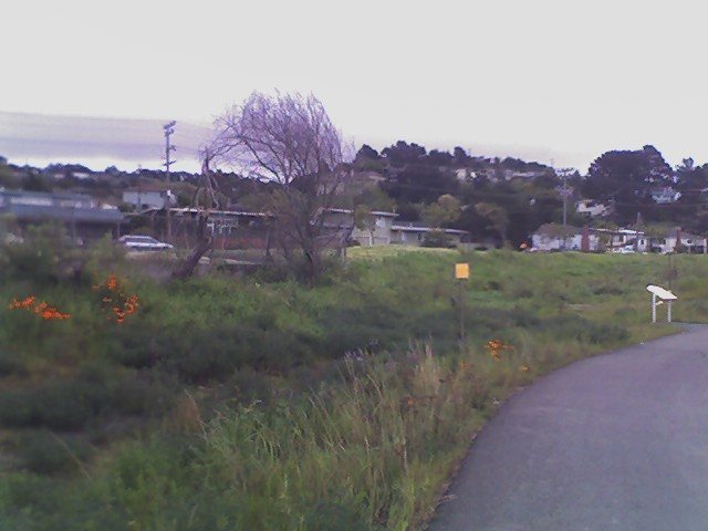
El Cerrito’s history is
mostly unwritten
The public archives hold just one old photo of El Cerrito. The rest are in attics, shoeboxes and the historical society. Help start the collection.
The story
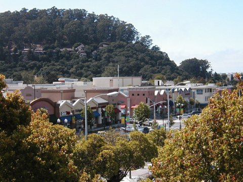
from WikipediaRead it all ↗El Cerrito was founded by refugees from the 1906 San Francisco earthquake. They settled in what was then Don Víctor Castro's Rancho San Pablo, adjacent to the ranch owned by the family of Luís María Peralta, the Rancho San Antonio. A post office opened at the settlement in 1909 and the refugee camp became known as Rust, after Wilhelm F. Rust, its first postmaster. The village's residents did not care for the name and changed it to El Cerrito (meaning "little hill" or "knoll") in 1916, in reference to nearby Albany Hill. A year later, El Cerrito was incorporated as a village with 1,500 residents.
Text from Wikipedia, licensed CC BY-SA 4.0.
Timeline
built from the dates on the items belowStart El Cerrito’s collection
The first neighbors to add old photos shape how El Cerrito’s history is told.
1 of 10 decades since 1900 have photos 🔁Retake an old viewArroyobaxter, 1980: stand where they stood+15 📦Share a family photoSign in to add one+10Famous people from El Cerrito
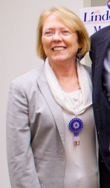
See all 6 →
El Cerrito, decade by decade
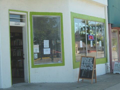
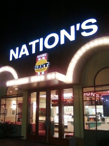
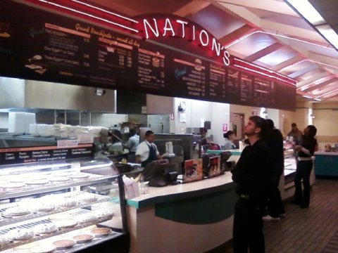
1990s

Then & now
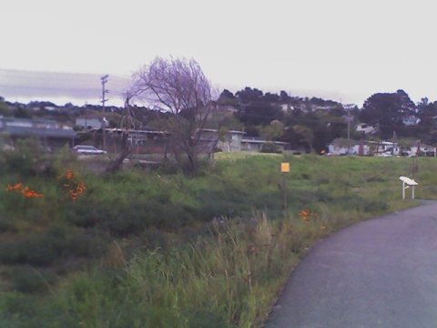
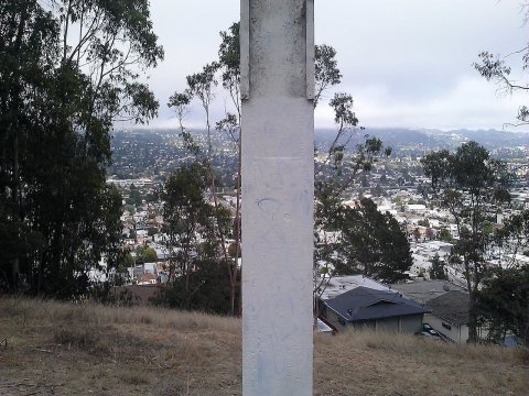
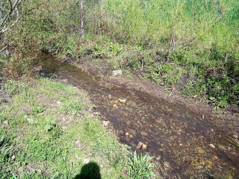
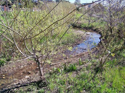
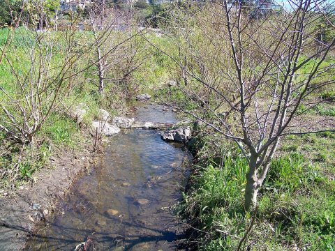
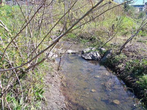
No then-and-now pairs yet. Take a photo from the same spot as Arroyobaxter (1980) and it appears here side by side.
🔁 Retake this view · +15Stories next door
nearby towns’ historyFrom Wikimedia Commons (12). Images are copied here with their credits and licenses, shown on each photo’s page. Refreshed monthly.