
A history of Emeryville,
since 1896
Postcards, papers and photographs of Emeryville from public archives, woven together by decade. Neighbors fill in the gaps.
The story
from WikipediaRead it all ↗Before the colonization of the area by Spain in 1776, this area was long the site of indigenous settlements. The historic Ohlone Native Americans encountered the Spaniards and later European colonists. They thrived on the rich resources of the bayside location: gathered clams from the mudflats, oysters from the rocky areas, caught fish, and hunted a variety of game. In addition, women gathered acorns from the local oak trees, roots, and fruit. The Ohlone discarded clam and oyster shells in a single place, over time creating a huge mound, now known as the Emeryville Shellmound.
Text from Wikipedia, licensed CC BY-SA 4.0.
Timeline
built from the dates on the items belowFinish Emeryville’s story
Most archives stop around 1920. The photos from after that are in family albums, not libraries.
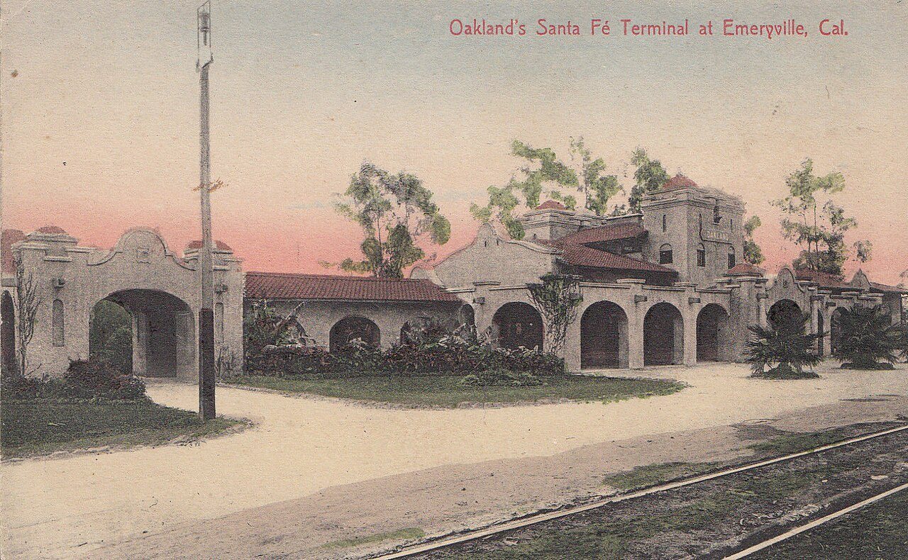
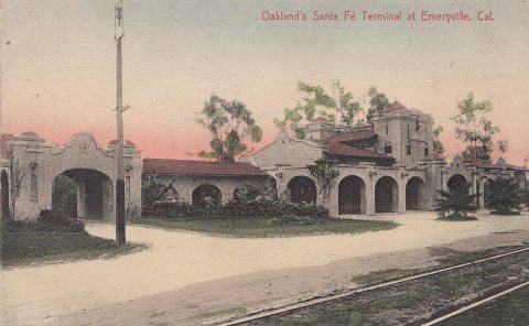
3 of 10 decades since 1900 have photos 🔁Retake an old viewOakland ATSF station postcard (2), 1907–1915: stand where they stood+15 📦Share a family photoSign in to add one+10Emeryville, decade by decade

1990s
Then & now
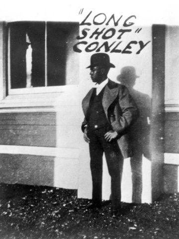
No then-and-now pairs yet. Take a photo from the same spot as Long-Shot-Conley (1890s) (1899) and it appears here side by side.
🔁 Retake this view · +15Stories next door
nearby towns’ historyFrom Wikimedia Commons (5) and the Library of Congress (1). Images are copied here with their credits and licenses, shown on each photo’s page. Refreshed monthly.