The story so far
from Wikipedia & the U.S. CensusBluewell, West Virginia is an unincorporated census-designated place on U.S. Route 52 in Mercer County, West Virginia, United States. As of the 2020 census, its population is 2,162 (slightly down from 2,184 at the 2010 census). It is the terminus of West Virginia Route 20. The community has no post office, its residences being a part of Bluefield for postal purposes. Its name is derived from being halfway between Bluefield and Bramwell. The community is adjacent to Pinnacle Rock State Park. It has become an active spot for Pocahontas Trail ATV riders of the Hatfield-Mcoy Trail system with many business catering to them.
Its population held steady between the last two censuses: 2,184 people in 2010, 2,162 in 2020. Half of its homes were built before 1974.
Wikipedia doesn’t have a history of Bluewell yet — the old photos, dates and memories neighbors add here are how it gets written.
Intro from Wikipedia, licensed CC BY-SA 4.0. Population and housing: U.S. Census Bureau.
Start Bluewell’s collection
The first neighbors to add old photos shape how Bluewell’s history is told.
0 of 10 decades since 1900 have photos 📦Share a family photoSign in to add one+10Bluewell, decade by decade
2000
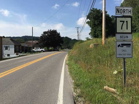
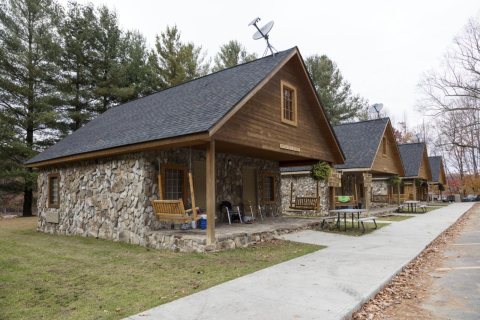
Nothing in Bluewell is on the National Register yet
That’s true of most small towns. It doesn’t mean Bluewell has no history, only that no one has written up a nomination. The closest listed place is Bramwell Historic District in Bramwell, 3 miles away.
Bluewell and the nearest listed places
Closest to Bluewell
 Bramwell Historic DistrictBramwell · District3mi
 Bramwell Additions Historic District (Boundary Increase) (Additional Documentation)Bramwell · Queen Anne3.2mi
 Hancock HouseBluefield · Building3.3miBramwell Additions Historic District (Boundary Increase)Bramwell · District3.3miPresident's House, Bluefield State CollegeBluefield · Building3.4mi
How a place gets listed
Then & now
When neighbors add old photos, retakes from the same spot appear here side by side.
Stories next door
nearby towns’ historyFrom Wikimedia Commons (2) and the Library of Congress (1). Images are copied here with their credits and licenses, shown on each photo’s page. Refreshed monthly.