The story so far
from Wikipedia & the U.S. CensusTempleton is a census-designated place in Prince George County, Virginia, United States. As of the 2020 census, Templeton had a population of 372. Templeton is located along Interstate 95 at Exit 41 where US 301, and Virginia State Routes 35 and 156 converge.
Between the 2010 and 2020 censuses its population fell from 431 to 372 (-14%).
Wikipedia doesn’t have a history of Templeton yet — the old photos, dates and memories neighbors add here are how it gets written.
Intro from Wikipedia, licensed CC BY-SA 4.0. Population and housing: U.S. Census Bureau.
Start Templeton’s collection
The first neighbors to add old photos shape how Templeton’s history is told.
0 of 10 decades since 1900 have photos 📦Share a family photoSign in to add one+10Famous people close to Templeton
See all 18 →





Templeton, decade by decade
2000
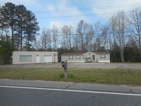 CommonsOld Gas Station & House; US 301;2019
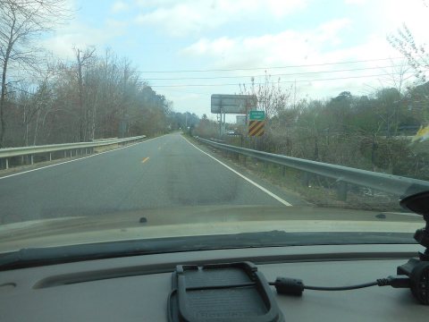 CommonsNB US 301 over Jones Hole Swamp;2019
 CommonsConfederate General Wade Hampton Memorial-32019
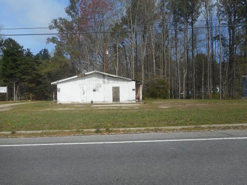 CommonsConfederate General Wade Hampton Memorial-22019
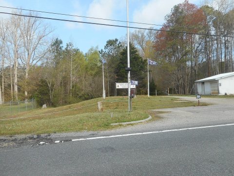 CommonsConfederate General Wade Hampton Memorial-12019
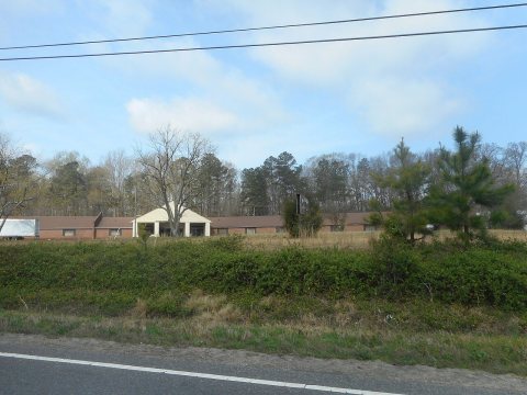 CommonsAbandoned Motel on US 301; Templeteon, Virginia-22019
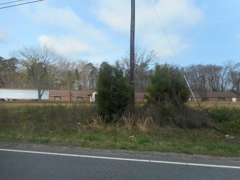 CommonsAbandoned Motel on US 301; Templeteon, Virginia-12019
 Commons02-SB I-95 Carson, VA Weight Station2018
 Commons01-SB I-95 Carson, VA Weight Station2018
 CommonsNorthbound I-95; Three-fourths of a mile from Exit 41 (US 3…2005
 CommonsNorthbound I-95 at Exit 41 (US 301-VA 35-156) in2005
Nothing in Templeton is on the National Register yet
That’s true of most small towns. It doesn’t mean Templeton has no history, only that no one has written up a nomination. The closest listed place is Chester Plantation in Disputanta, 7 miles away.
Templeton and the nearest listed places
How a place gets listed
Then & now
When neighbors add old photos, retakes from the same spot appear here side by side.
Stories next door
nearby towns’ historyFrom Wikimedia Commons (11). Images are copied here with their credits and licenses, shown on each photo’s page. Refreshed monthly.