A history of Sperryville,
then and now
Postcards, papers and photographs of Sperryville from public archives, woven together by decade. Neighbors fill in the gaps.
The story
from WikipediaRead it all ↗The land on which Sperryville is located is part of 3,000 acres granted by King George II of Great Britain to Francis Thornton in 1731. This land was regranted to Thornton in 1751 by Thomas Fairfax, 6th Lord Fairfax of Cameron, owner of the Northern Neck Proprietary, after Fairfax won his suit to prevent the king from granting land in the Proprietary. Part of this land was inherited by a descendant, also named Francis Thornton, in 1817. He was a soldier in the War of 1812, became a Presbyterian minister, and was sent from his home in Fredericksburg, Virginia, to organize a Presbyterian church in what was then western Culpeper County. In 1820 he began selling small lots of land along the main road (currently Main Street, VA Route 1001). The first deed was for a ½-acre lot “in a little town laid off by me, the said Francis Thornton Jr., and surveyed by Johnston Menefee ... the village is …
Text from Wikipedia, licensed CC BY-SA 4.0.
Timeline
built from the dates on the items belowFinish Sperryville’s story
Most archives stop around 1920. The photos from after that are in family albums, not libraries.
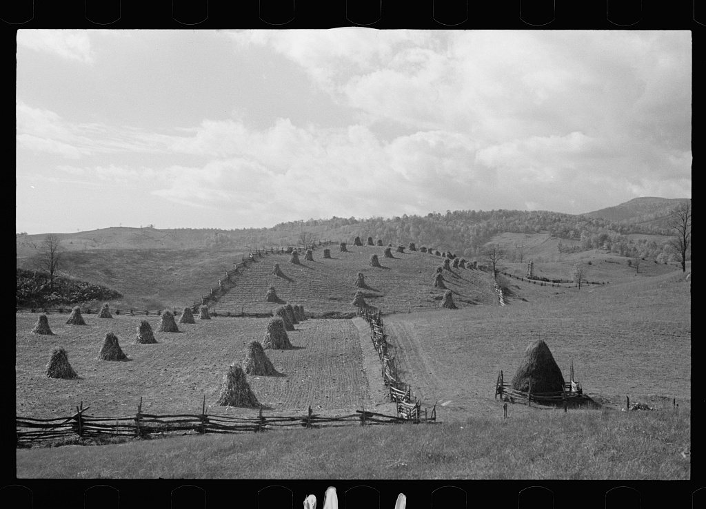
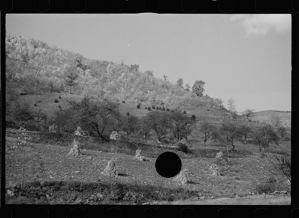
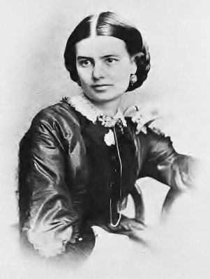
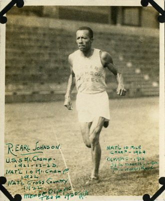
1 of 10 decades since 1900 have photos 🔁Retake an old viewFields near Sperryville, Virginia, 1935: stand where they stood+15 📦Share a family photoSign in to add one+10Famous people close to Sperryville
See all 22 →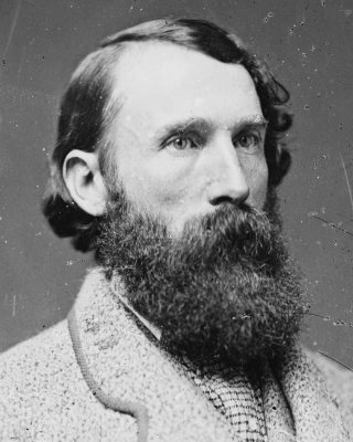



Sperryville, decade by decade
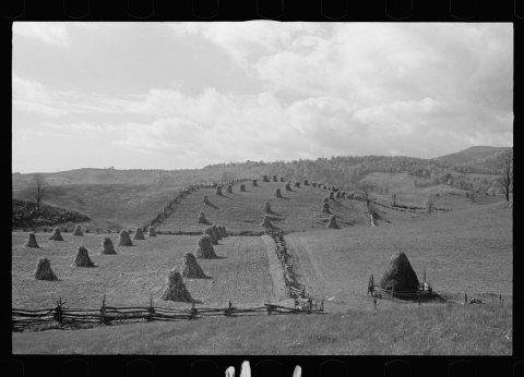 LOCFields near Sperryville, Virginia1935
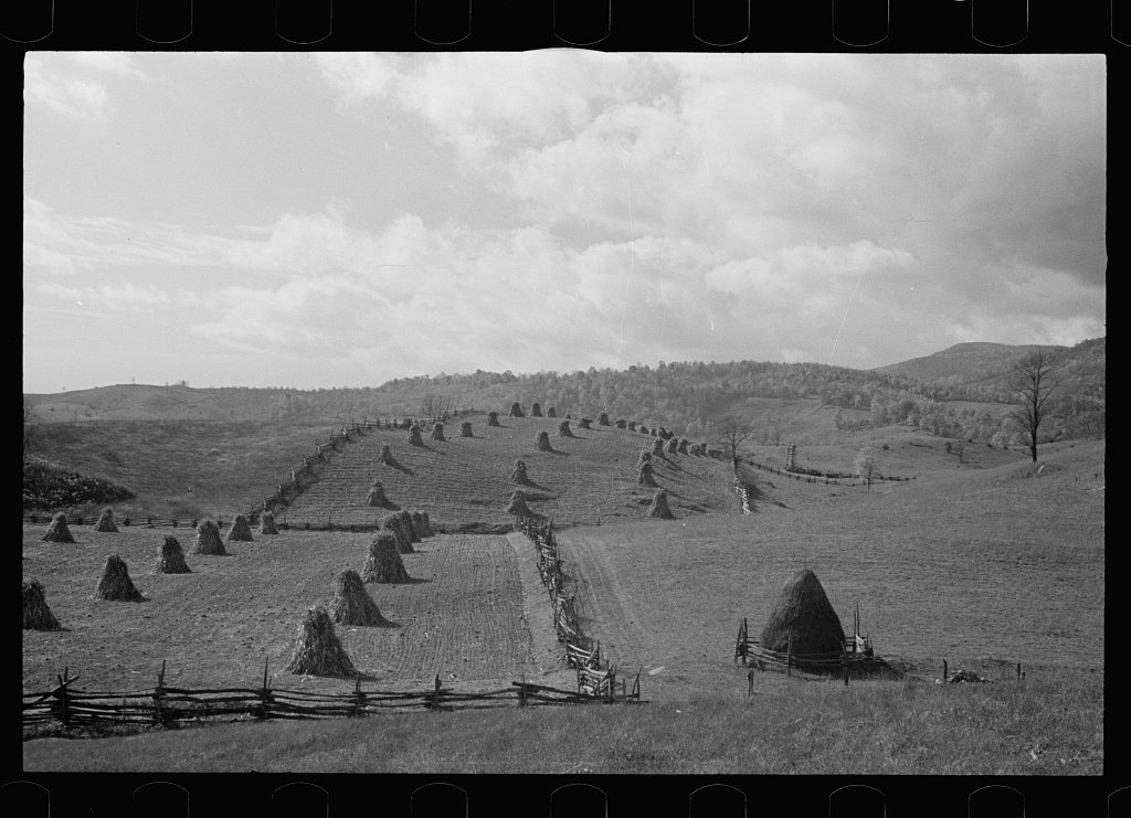
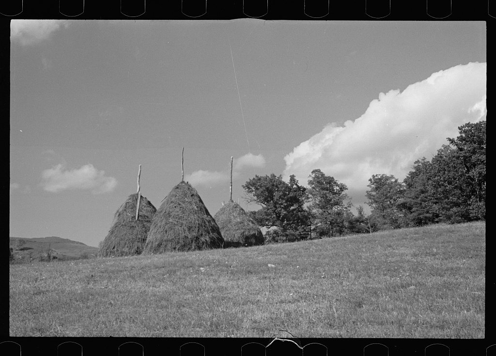
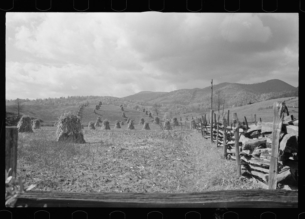
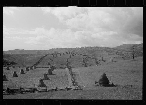 LOCUntitled photo, possibly related to: Fields near Sperryvill…1935
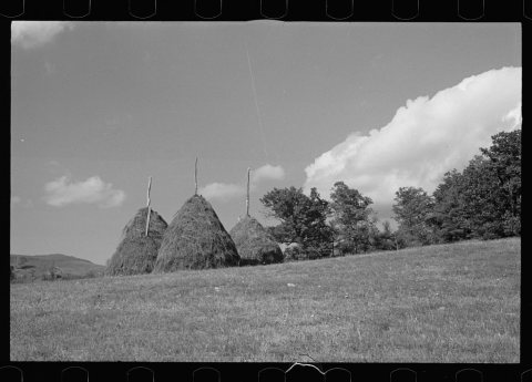 LOCUntitled photo, possibly related to: Fields near Sperryvill…1935
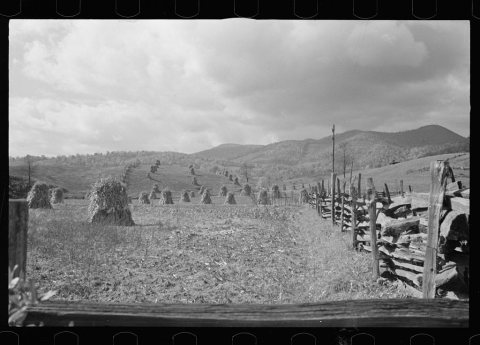 LOCUntitled photo, possibly related to: Fields near Sperryvill…1935
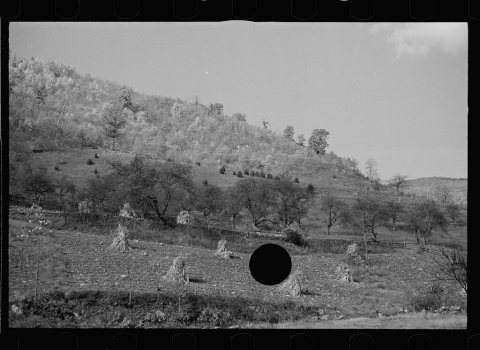 LOCUntitled photo, possibly related to: Fields near Sperryvill…1935
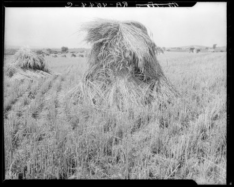 LOCWheat1936
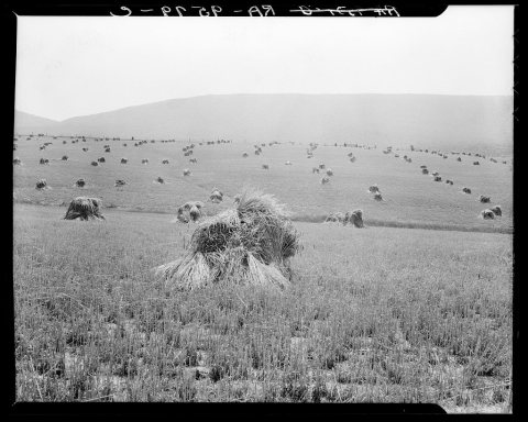 LOCVirginia wheat. Vicinity of Sperryville1936
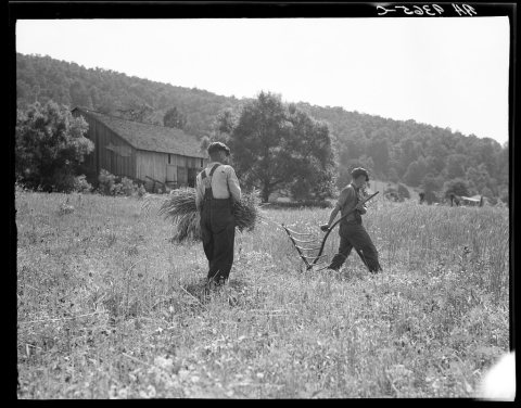 LOCMen cradling wheat in eastern Virginia near Sperryville1936
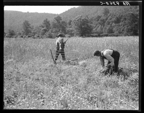 LOCUntitled photo, possibly related to: Men cradling wheat in …1936
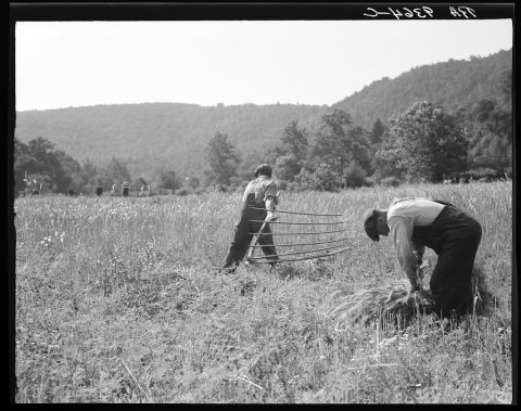 LOCUntitled photo, possibly related to: Men cradling wheat in …1936
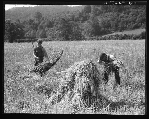 LOCCradling wheat near Sperryville, Virginia. A hand binder fo…1936
1990s
1 historic place in Sperryville
Sperryville has 1 listing on the National Register, and they protect 63 historic buildings, because Sperryville Historic District alone counts 63.
Where they are
When they were listed

Then & now
No then-and-now pairs yet. Take a photo from the same spot as Fields near Sperryville, Virginia (1935) and it appears here side by side.
🔁 Retake this view · +15Stories next door
nearby towns’ historyFrom the Library of Congress (11). Images are copied here with their credits and licenses, shown on each photo’s page. Refreshed monthly.