A history of Richlands,
since 1892
Postcards, papers and photographs of Richlands from public archives, woven together by decade. Neighbors fill in the gaps.
The story
from WikipediaRead it all ↗Located along the banks of the Clinch River, Richlands began as a farming community and was named for its fertile "rich lands."
The Clinch Valley Coal & Iron Company began to develop Richlands in 1890, and company officials hoped Richlands' readily available coal, iron, and timber might make it the "Pittsburgh of the South." The company abandoned its plans following the stock market crash of 1893.
Text from Wikipedia, licensed CC BY-SA 4.0.
Timeline
built from the dates on the items belowFinish Richlands’s story
Most archives stop around 1920. The photos from after that are in family albums, not libraries.
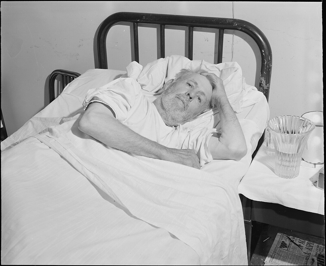
1 of 10 decades since 1900 have photos 🔁Retake an old viewA. J. Buchanan who worked in the …, 1946: stand where they stood+15 📦Share a family photoSign in to add one+10Famous people from Richlands
See all 6 →
Richlands, decade by decade
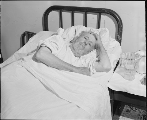 CommonsA. J. Buchanan who worked in the coal mines for over fifty …1946
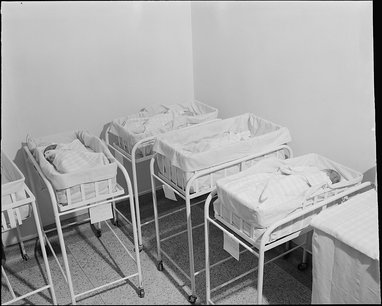
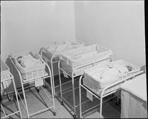 CommonsBabies in the nursery. Clinch Valley Clinic Hospital, Richl…1946
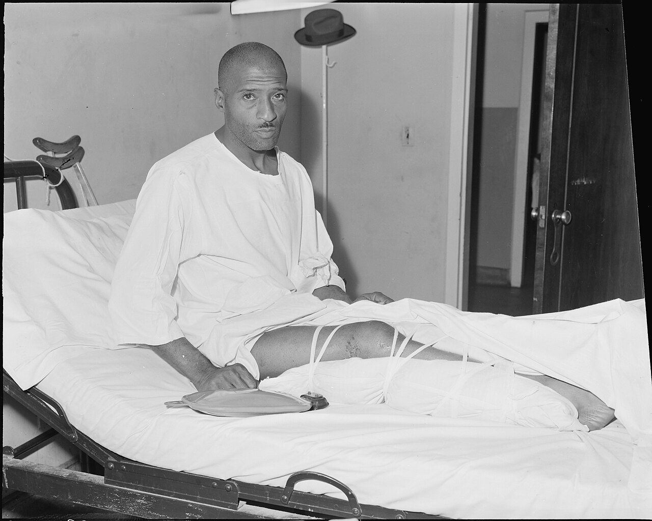
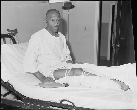 CommonsCharlie Williams who works for the Pocahontas Corporation, …1946
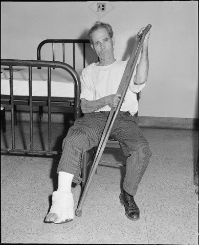 CommonsDominice Napoli who works for the Pando Coal Company, at th…1946
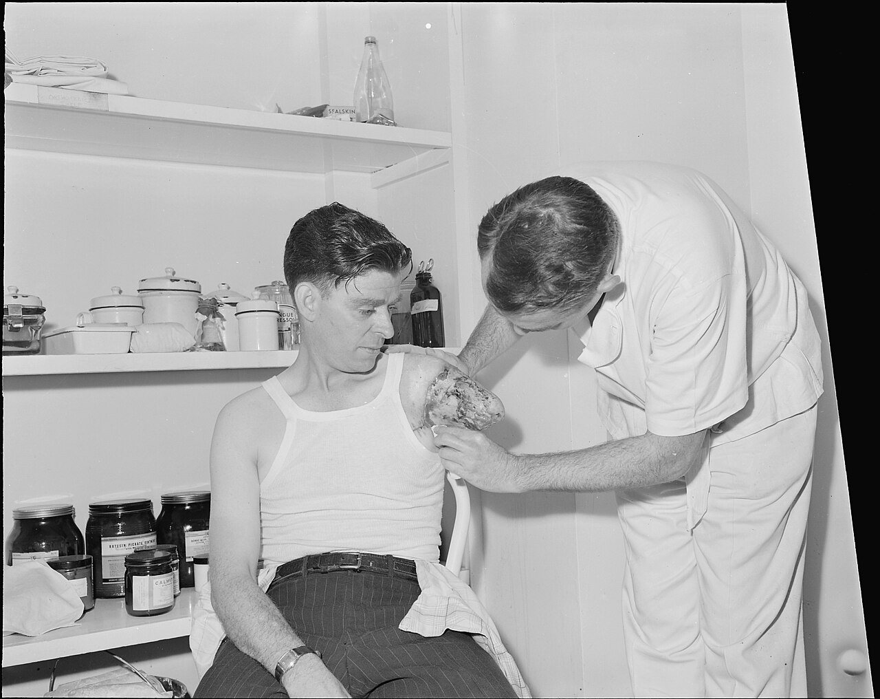
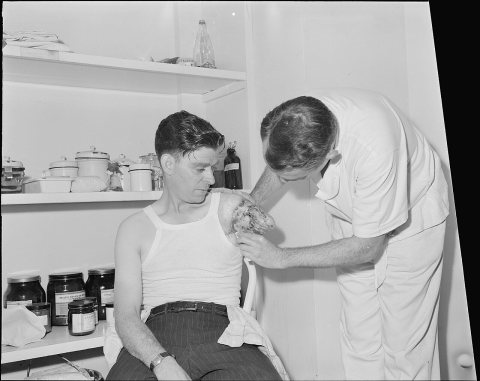 CommonsDr. Tillou Henderson dressing a stump. John Beavers, a mine…1946
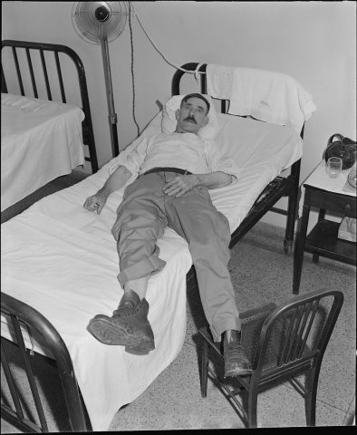 CommonsJohn Looney who works for the Crystal Coal Company, in the …1946
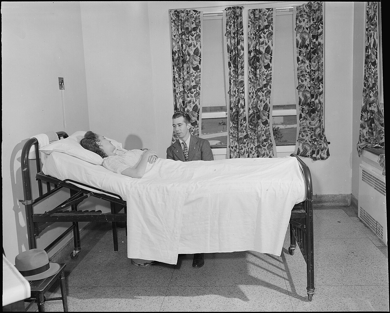
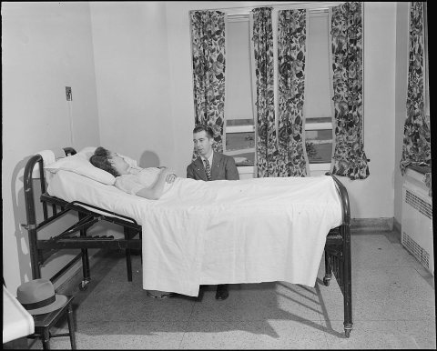 CommonsMr. Richard Earls visits his wife; he works for the Pocahon…1946
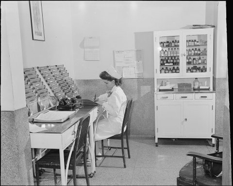 CommonsNurse at chart desk. Clinch Valley Clinic Hospital, Richlan…1946
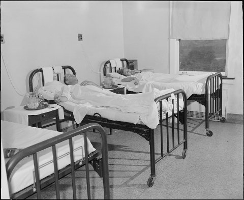 CommonsOne of the six-bed wards in the hospital; 75 percent of the…1946
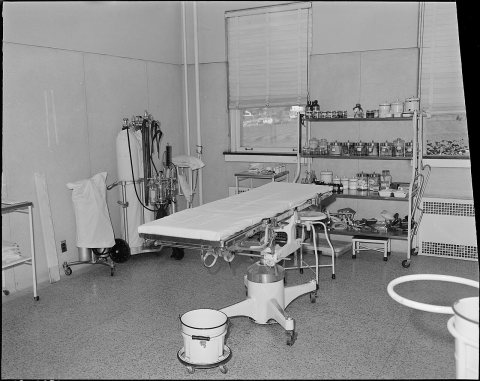 CommonsOperating room. Clinch Valley Clinic Hospital, Richlands, T…1946
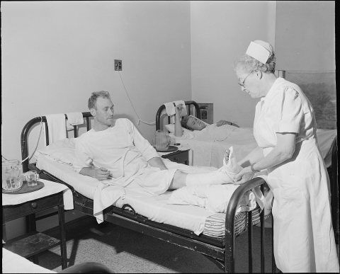 CommonsParis Duty who works for the Pocahontas Corporation at the …1946
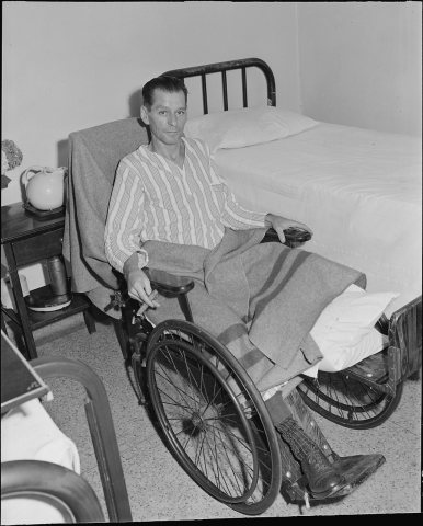 CommonsRobert Lee Donley who works for the Pocahontas Corporation,…1946
1990s
3 historic places in Richlands
Richlands has 3 listings on the National Register, and they protect 162 historic buildings, because Richlands Historic District alone counts 91.
Where they are
Architectural styles
When they were listed
 Listed 1983Williams House
 Listed 2007Richlands Historic District
 Listed 2010Tazewell Avenue Historic District
Then & now
No then-and-now pairs yet. Take a photo from the same spot as A. J. Buchanan who worked in the coal mines for over fifty years. Richlands, Tazewell County, Virginia (1946) and it appears here side by side.
🔁 Retake this view · +15Stories next door
nearby towns’ historyFrom Wikimedia Commons (12). Images are copied here with their credits and licenses, shown on each photo’s page. Refreshed monthly.