The story
from WikipediaRead it all ↗Cedar Bluff is a 19th-century mill town located on the banks of the Clinch River in Tazewell County, Virginia. Centered around the Old Kentucky Turnpike, a street looking much as it did when the Virginia Legislature chartered the thoroughfare in 1848, the nationally listed historic district extends from the restored old grist mill to the 1873 birthplace of Virginia Governor George C. Peery.
Cedar Bluff is the home of the Clinch Valley Blanket Mill which housed the Goodwin weavers, in operation from 1890 through World War II.
Text from Wikipedia, licensed CC BY-SA 4.0.
Start Cedar Bluff’s collection
The first neighbors to add old photos shape how Cedar Bluff’s history is told.
0 of 10 decades since 1900 have photos 📦Share a family photoSign in to add one+10Famous people from Cedar Bluff
See all 1 →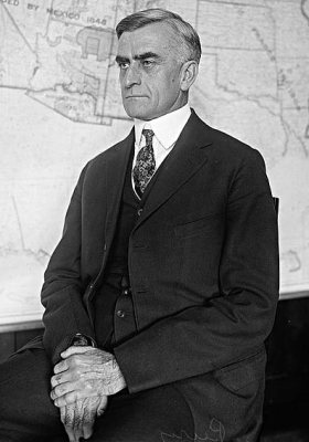
Cedar Bluff, decade by decade
2000
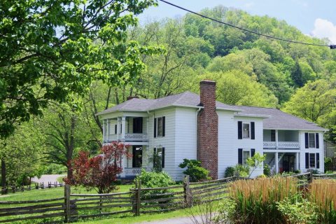 CommonsCedarbluff-310-Old-Kentucky-Turnpike-va2018
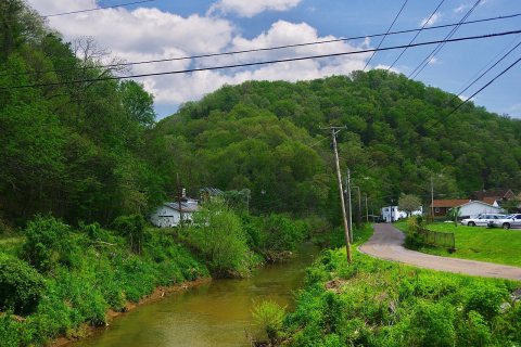 CommonsCedar-Bluff-stream-va2018
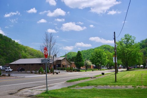 CommonsCedar-Bluff-po-va2018
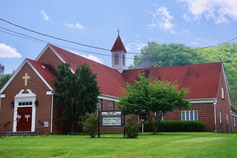 CommonsCedar-Bluff-United-Methodist-va2018
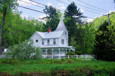 CommonsCedar-Bluff-Queen-Anne-house-va2018
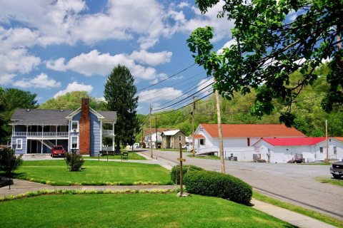 CommonsCedar-Bluff-Old-Kentucky-Turnpike-va2018
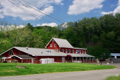 CommonsCedar-Bluff-Clinch-Valley-Roller-Mills-va2018
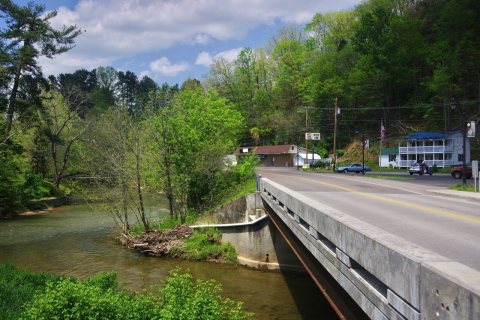 CommonsCedar-Bluff-Cedar-Valley-bridge-va2018
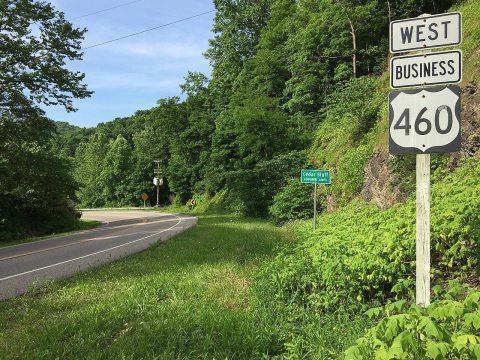 Commons2017-06-11 17 35 43 View west along U.S. Route 460 Business…2017
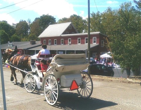 CommonsHistoric Cedar Bluff Carriage Tour2015
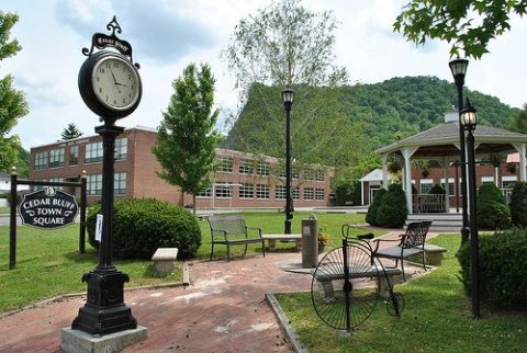 CommonsCedar Bluff Town Square2001
2 historic places in Cedar Bluff
Cedar Bluff has 2 listings on the National Register, and they protect 37 historic buildings, because Old Kentucky Turnpike Historic District alone counts 35.
Where they are
When they were listed
Then & now
When neighbors add old photos, retakes from the same spot appear here side by side.
Stories next door
nearby towns’ historyFrom Wikimedia Commons (11) and the National Register (1). Images are copied here with their credits and licenses, shown on each photo’s page. Refreshed monthly.