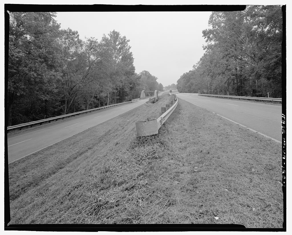
McKenney’s history is
mostly unwritten
The public archives hold just one old photo of McKenney. The rest are in attics, shoeboxes and the historical society. Help start the collection.
The story
from WikipediaRead it all ↗McKenney is located along a former railroad mainline. The Richmond, Petersburg and Carolina Railroad, passing through McKenney from Petersburg, Virginia to Ridgeway Junction (today Norlina, North Carolina), was completed in 1900, at which point it was merged into the Seaboard Air Line (SAL). By 1914, the population of McKenney was estimated by the railroad to be about 300.
This line (dubbed the "S-line" after later mergers) continued to operate until the 1980s and was then abandoned by the CSX Norlina Subdivision. Today McKenney is isolated by this abandonment.
Text from Wikipedia, licensed CC BY-SA 4.0.
Start McKenney’s collection
The first neighbors to add old photos shape how McKenney’s history is told.
0 of 10 decades since 1900 have photos 🗓️Date a photo1 archive item has no date+2 🔁Retake an old viewU.S. Route 1 Nottoway River Bridg…: stand where they stood+15 📦Share a family photoSign in to add one+10Famous people close to McKenney
See all 18 →



McKenney, decade by decade
2000
unknown1 item
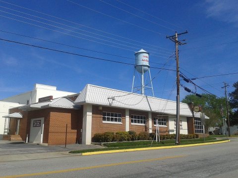
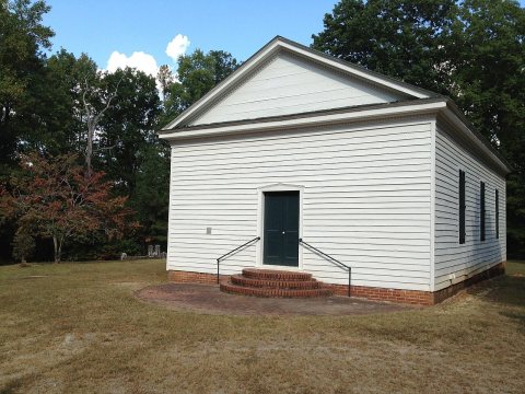
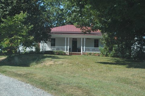
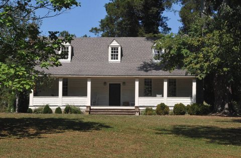
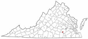
1 historic place in McKenney
McKenney has 1 listing on the National Register, and they protect 7 historic buildings, because Zehmer Farm alone counts 7.
Where they are
When they were listed
Then & now
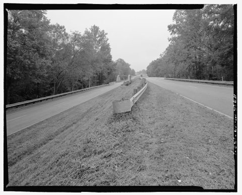
No then-and-now pairs yet. Take a photo from the same spot as U.S. Route 1 Nottoway River Bridge, U.S. Route 1 spanning Nottoway River and it appears here side by side.
🔁 Retake this view · +15Stories next door
nearby towns’ historyFrom Wikimedia Commons (5) and the Library of Congress (1). Images are copied here with their credits and licenses, shown on each photo’s page. Refreshed monthly.