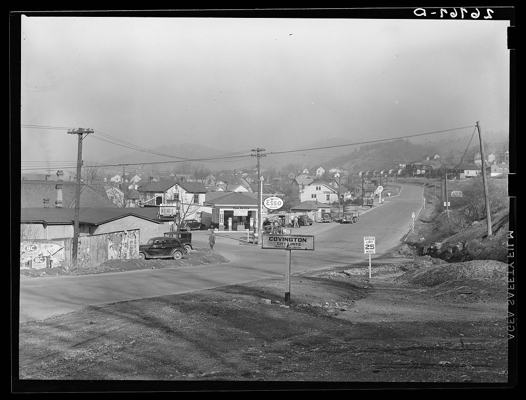
Covington’s history is
mostly unwritten
The public archives hold just one old photo of Covington. The rest are in attics, shoeboxes and the historical society. Help start the collection.
The story
from WikipediaRead it all ↗The first white settlers came to what is now Covington in 1745 when the area was part of Augusta County, Virginia. Botetourt County took over much of the area in 1769; although Bath County and Monroe County also lay claim to parts of what is now the Alleghany County-Covington region.
Starting in August 1818, lots were sold in what is now Covington on 25 acres of land owned by Dr. James Merry. The unnamed community was referred to as the Mouth of the Dunlap. It was designed the town of Covington in 1819. Covington is named in honor of General Leonard Covington, hero of the War of 1812 and friend of James Madison and Thomas Jefferson.
Text from Wikipedia, licensed CC BY-SA 4.0.
Timeline
built from the dates on the items belowStart Covington’s collection
The first neighbors to add old photos shape how Covington’s history is told.
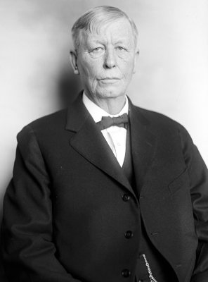
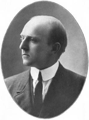
1 of 10 decades since 1900 have photos 🔁Retake an old viewCity limits. Covington, Virginia, 1939: stand where they stood+15 📦Share a family photoSign in to add one+10Famous people from Covington
See all 17 →



Covington, decade by decade
1990s
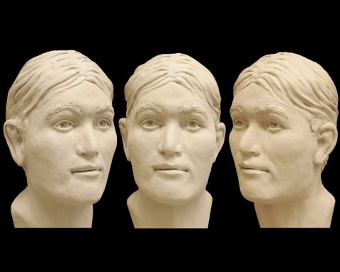 CommonsAlleghany County John Doe2012
 CommonsCovington, Va - War Memorials2012
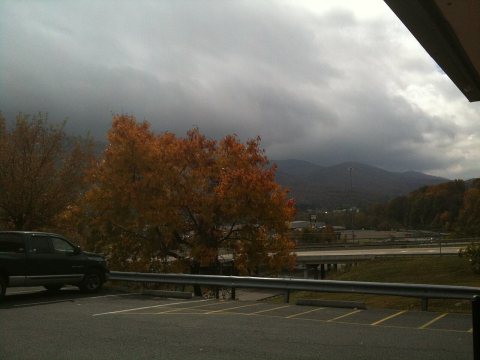 CommonsOn the road - panoramio (9)2009
 CommonsOn the road - panoramio (7)2009
 CommonsOn the road - panoramio (15)2009
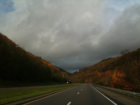 CommonsOn the road - panoramio (14)2009
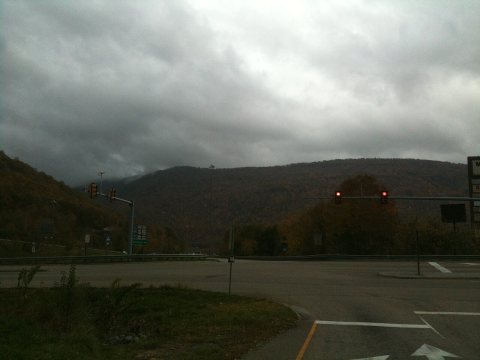 CommonsOn the road - panoramio (13)2009
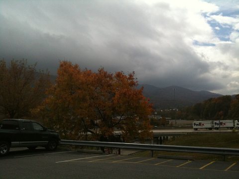 CommonsOn the road - panoramio (12)2009
 CommonsOn the road - panoramio (11)2009
 CommonsOn the road - panoramio (10)2009
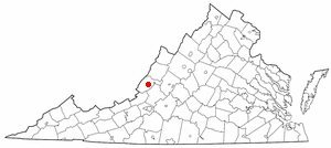 CommonsVAMap-doton-Covington2005
Then & now
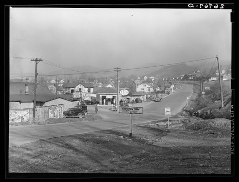
No then-and-now pairs yet. Take a photo from the same spot as City limits. Covington, Virginia (1939) and it appears here side by side.
🔁 Retake this view · +15Stories next door
nearby towns’ historyFrom Wikimedia Commons (11) and the Library of Congress (1). Images are copied here with their credits and licenses, shown on each photo’s page. Refreshed monthly.