The story
from WikipediaRead it all ↗The community was formerly known as "Mineral City" and "Three Forks" before officially taking its name in 1888. The "Big Stone Gap" refers to the valley created on the Appalachia Straight, located between the town and Appalachia. The town served as an important center for coal and iron development in the 1880s and 1890s and residents hoped its coal and iron ore deposits would make it "the Pittsburgh of the South", although that nickname would later be used by the significantly larger city of Birmingham, Alabama.
Text from Wikipedia, licensed CC BY-SA 4.0.
Timeline
built from the dates on the items belowStart Big Stone Gap’s collection
The first neighbors to add old photos shape how Big Stone Gap’s history is told.
1 of 10 decades since 1900 have photos 🔁Retake an old viewLinda King finds working as a roo…, 1979: stand where they stood+15 📦Share a family photoSign in to add one+10Famous people from Big Stone Gap
See all 11 →

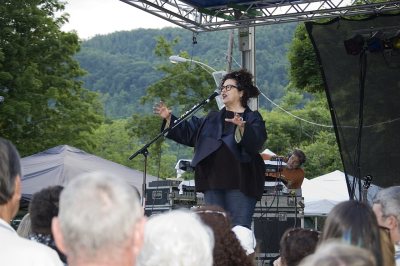


Big Stone Gap, decade by decade
1990s
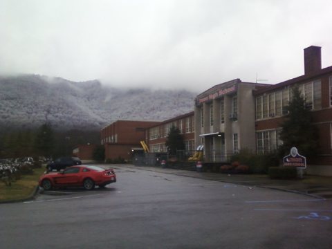

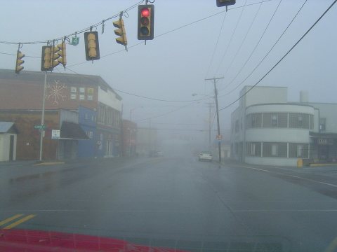
8 historic places in Big Stone Gap
Big Stone Gap has 8 listings on the National Register, and they protect 38 historic buildings, because Big Stone Gap Downtown Historic District alone counts 29.
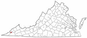
Where they are
When they were listed
Then & now
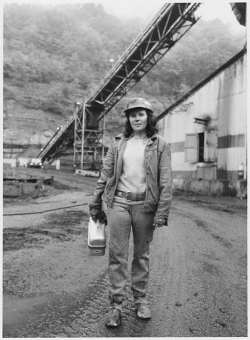
No then-and-now pairs yet. Take a photo from the same spot as Linda King finds working as a roof bolter's helper at the Bullitt Mine in Big Stone Gap, Virginia, more challenging... … (1979) and it appears here side by side.
🔁 Retake this view · +15Stories next door
nearby towns’ historyFrom Wikimedia Commons (5) and the National Register (1). Images are copied here with their credits and licenses, shown on each photo’s page. Refreshed monthly.