The story
from WikipediaRead it all ↗The genesis of Arcola was a small spring next to a gum tree that fed into the south fork of Broad Run, suitably called "Gum Springs". During the colonial era a distillery, kiln and small church were established at the spring.
When Cameron Parish was established from Truro Parish, its glebe, the area reserved to support the parish priest, was established just northwest of the spring. The glebelands were sold off in 1802 when the Virginia General Assembly divested all Anglican glebes.
Text from Wikipedia, licensed CC BY-SA 4.0.
Start Arcola’s collection
The first neighbors to add old photos shape how Arcola’s history is told.
0 of 10 decades since 1900 have photos 📦Share a family photoSign in to add one+10Famous people close to Arcola
See all 18 →



Arcola, decade by decade
2000
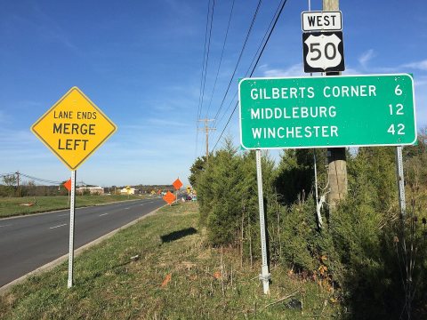 Commons2016-10-29 09 44 22 View west along U.S. Route 50 (John Mos…2016
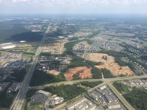 Commons2016-07-31 14 54 45 View east along U.S. Route 50 (John Mos…2016
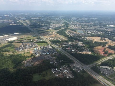 Commons2016-07-31 14 54 37 View east along U.S. Route 50 (John Mos…2016
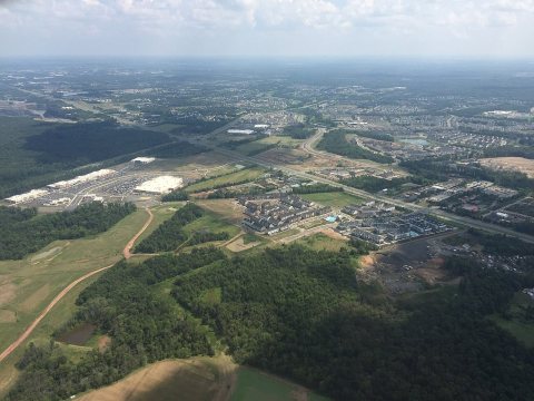 Commons2016-07-31 14 54 32 View southeast across Arcola and South …2016
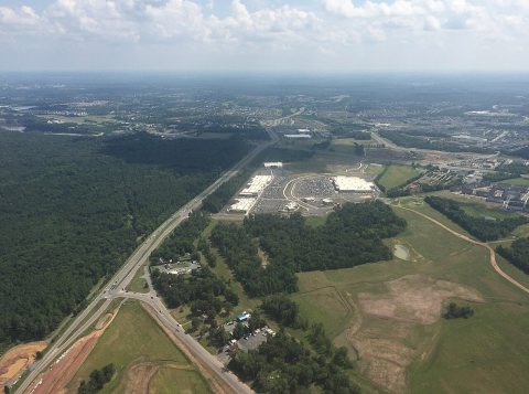 Commons2016-07-31 14 54 22 View southwest along Virginia State Sec…2016
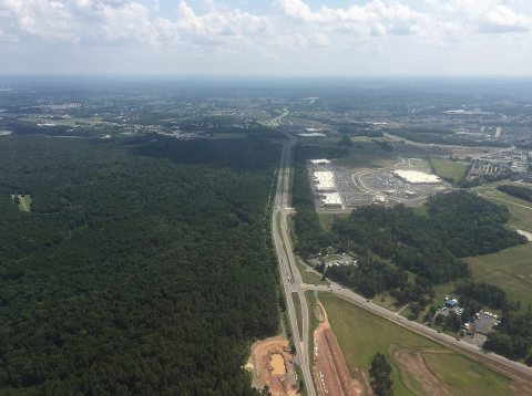 Commons2016-07-31 14 54 19 View southwest along Virginia State Sec…2016
2 historic places in Arcola
2 places in Arcola are on the National Register of Historic Places, the country’s official list of buildings and places worth saving.
Where they are
When they were listed
Then & now
When neighbors add old photos, retakes from the same spot appear here side by side.
Stories next door
nearby towns’ historyFrom Wikimedia Commons (6). Images are copied here with their credits and licenses, shown on each photo’s page. Refreshed monthly.