The story
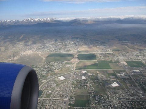
from WikipediaRead it all ↗Located in the southern end of Salt Lake Valley, the area that is now Riverton was first settled by people of European descent in the mid-1850s. These early settlers scattered widely along the river bottom in crude dugout homes. Although the early accounts disagree, Archibald Gardner may have been the first to settle Riverton land. The town was originally referred to as “Gardnerville” prior to changing its name to Riverton. Riverton's initial growth was slow because of the lack of water for irrigation. When more water became available, the town began to grow. Eventually three canals were built to extend water from the nearby Jordan River to the benchland areas, providing irrigation for agricultural uses to the larger area.
Text from Wikipedia, licensed CC BY-SA 4.0.
Start Riverton’s collection
The first neighbors to add old photos shape how Riverton’s history is told.
0 of 10 decades since 1900 have photos 📦Share a family photoSign in to add one+10Famous people from Riverton
See all 2 →

Riverton, decade by decade
2000
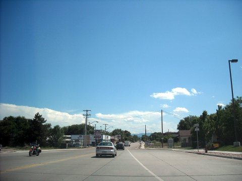
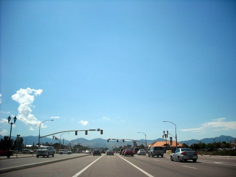
Then & now
When neighbors add old photos, retakes from the same spot appear here side by side.
Stories next door
nearby towns’ historyFrom Wikimedia Commons (6). Images are copied here with their credits and licenses, shown on each photo’s page. Refreshed monthly.