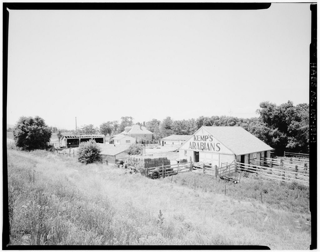
South Jordan’s history is
mostly unwritten
The public archives hold just one old photo of South Jordan. The rest are in attics, shoeboxes and the historical society. Help start the collection.
The story
from WikipediaRead it all ↗The first known inhabitants were members of the Desert Archaic Culture, who were nomadic hunter-gatherers. From around 400 to 1350 AD, the Fremont people settled into villages and farmed corn and squash. Changes in climatic conditions to a cooler, drier period and the movement into the area of ancestors of the Ute, Paiute, and Shoshone, led to the disappearance of the Fremont people. When European settlers arrived, no permanent Native American settlements were in the Salt Lake Valley, but the area bordered several tribes – the territory of the Northwestern Shoshone to the north, the Timpanogots band of the Utes to the south in Utah Valley, and the Goshutes to the west in Tooele Valley.
Text from Wikipedia, licensed CC BY-SA 4.0.
Start South Jordan’s collection
The first neighbors to add old photos shape how South Jordan’s history is told.
0 of 10 decades since 1900 have photos 🗓️Date a photo1 archive item has no date+2 🔁Retake an old viewRichard M. Fairbourn Farm, 170 We…: stand where they stood+15 📦Share a family photoSign in to add one+10South Jordan, decade by decade
2000
unknown1 item
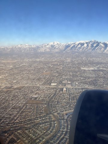 CommonsSouth Jordan UT 20252025
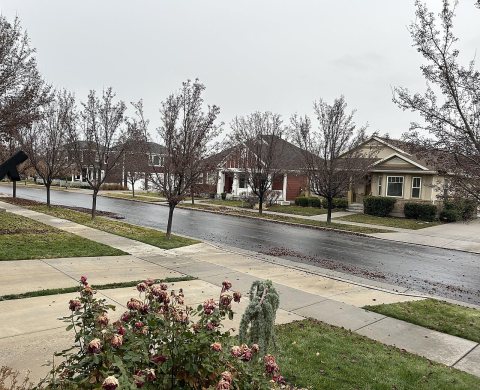 CommonsDaybreak Housing Community2023
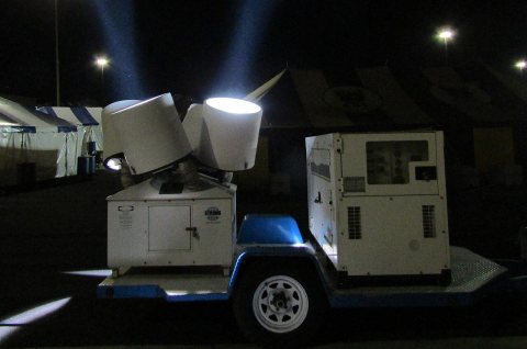 CommonsRotating searchlights2018
 CommonsBedroom with marine puzzles on wall2018
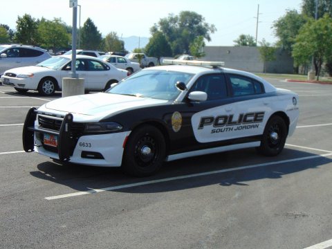 CommonsSouth Jordan police car, Sep 172017
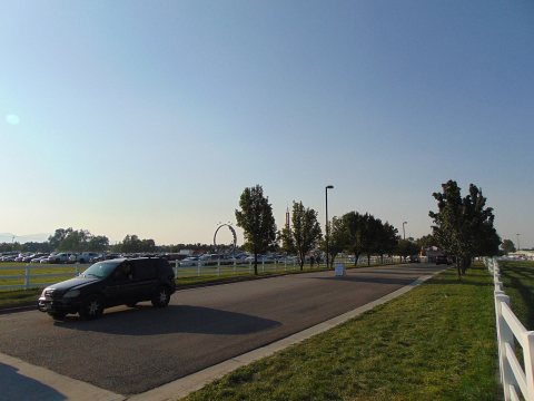 CommonsSalt Lake County Fairgounds, Aug 172017
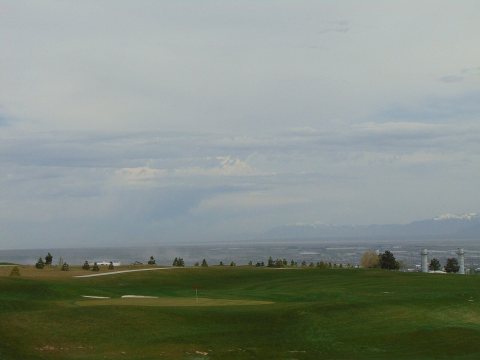 CommonsNortheast over Salt Lake Valley, May 172017
 CommonsBingham High School Crest HD2016
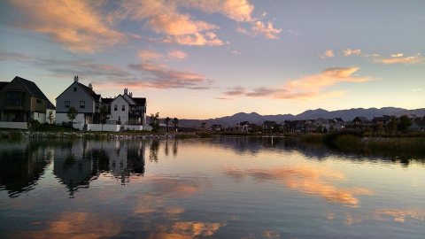 CommonsSunset Over Oquirrh Lake In Daybreak Utah2015
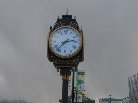 CommonsSouth Jordan Station clock2015
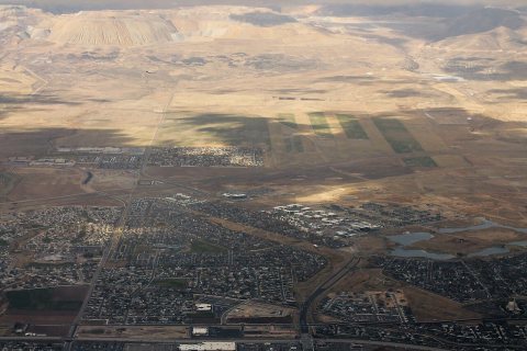 CommonsSouth Jordan and Foot of Oquirrah Mountains2014
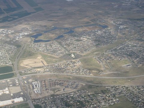 CommonsSouth Jordan, Utah2012
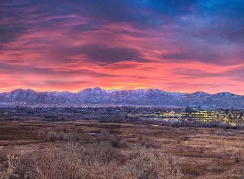 CommonsAnother view of the sunset over2009
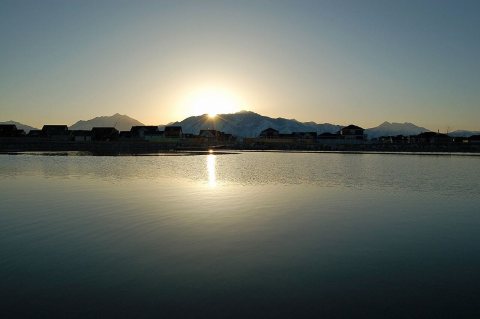 CommonsOquirrh Lake at sunrise2008
Then & now
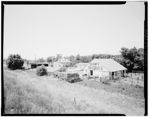
No then-and-now pairs yet. Take a photo from the same spot as Richard M. Fairbourn Farm, 170 West, 11,400 South and it appears here side by side.
🔁 Retake this view · +15Historic places
National Register · via Wikidata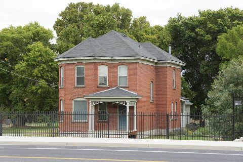
From Wikimedia Commons (14), the Library of Congress (1) and the National Register (3). Images are copied here with their credits and licenses, shown on each photo’s page. Refreshed monthly.