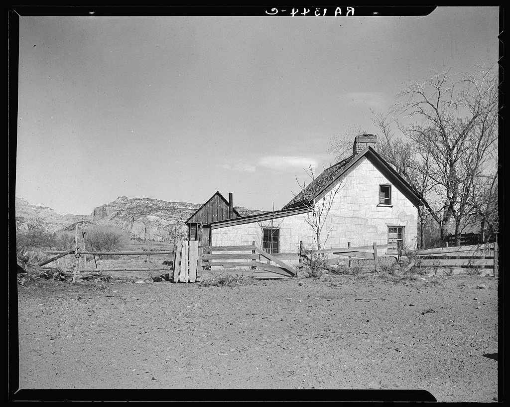
A history of Escalante,
since 1875
Postcards, papers and photographs of Escalante from public archives, woven together by decade. Neighbors fill in the gaps.
The story
from WikipediaRead it all ↗In 1776, Silvestre Vélez de Escalante and Francisco Atanasio Domínguez left Santa Fe, New Mexico attempting to find a route to the missions of California. The Dominguez–Escalante Expedition followed a route north through western Colorado, west across central Utah, and then southwest through what is now called the Escalante Desert, finally circling back to the east after reaching Arizona near the north rim of the Grand Canyon. They returned to Santa Fe having never entered California or the areas near the city of Escalante. In 1866; Captain James Andrus led members of the Southern Utah militia through the Escalante area during the Black Hawk Indian War. The valley east of the Escalante Mountains, where the city of Escalante is located, was named Potato Valley since the group had found wild potatoes growing there.
Text from Wikipedia, licensed CC BY-SA 4.0.
Timeline
built from the dates on the items belowFinish Escalante’s story
Most archives stop around 1920. The photos from after that are in family albums, not libraries.
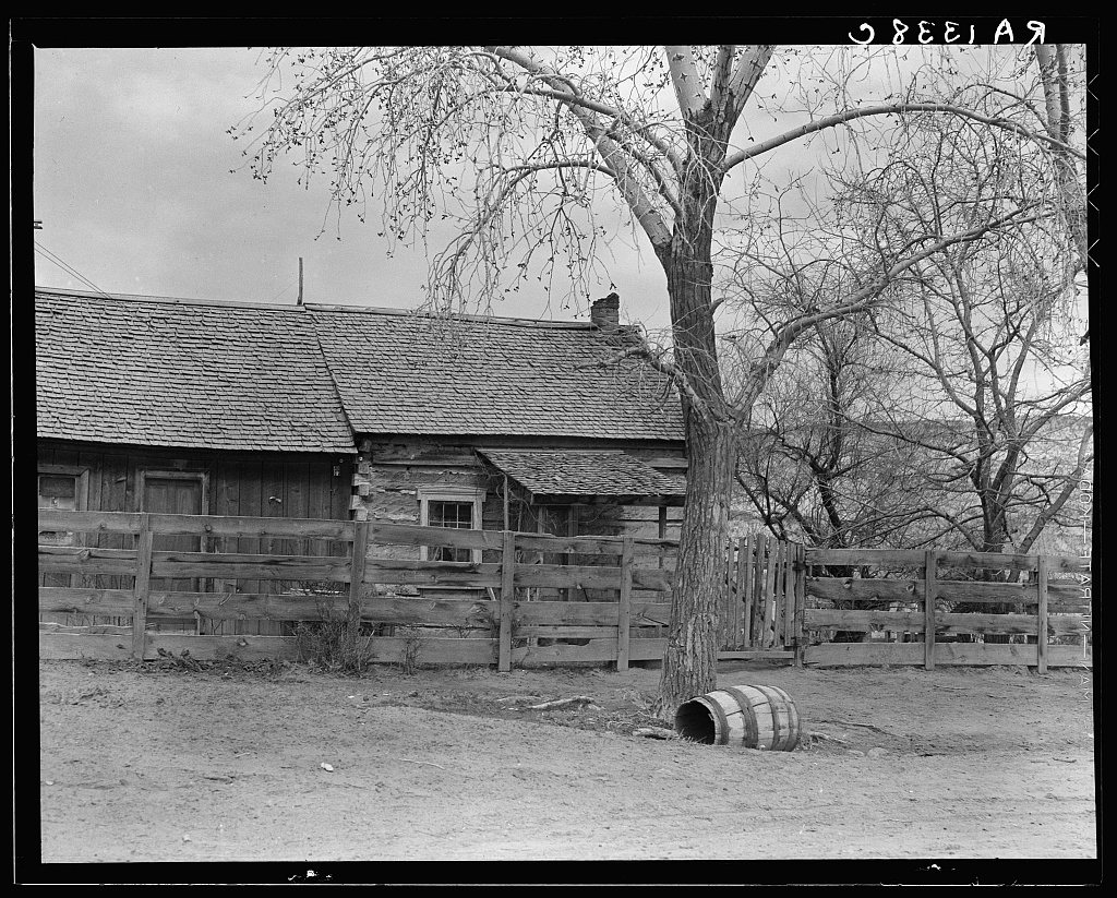
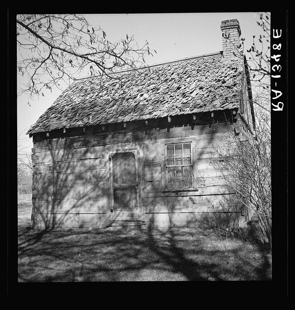
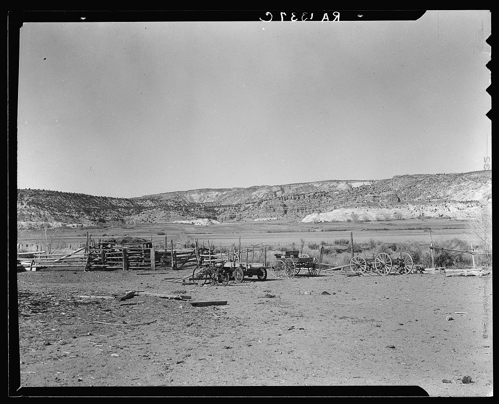
1 of 10 decades since 1900 have photos 🔁Retake an old viewEscalante people. Utah, 1936: stand where they stood+15 📦Share a family photoSign in to add one+10Escalante, decade by decade
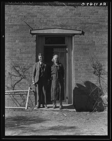
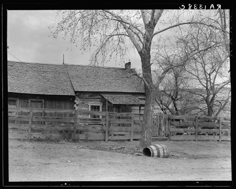
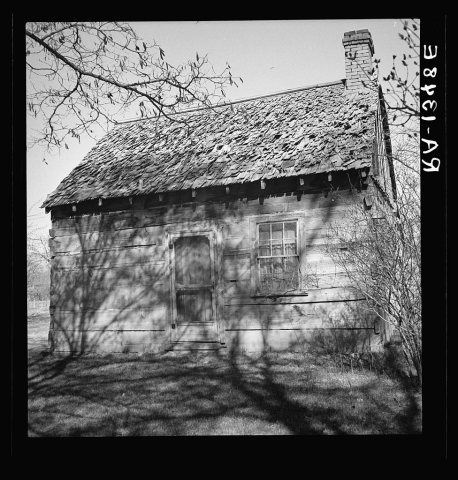
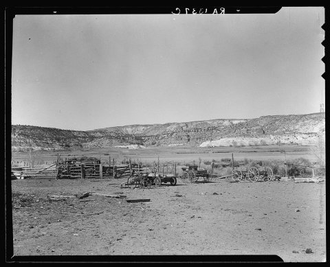
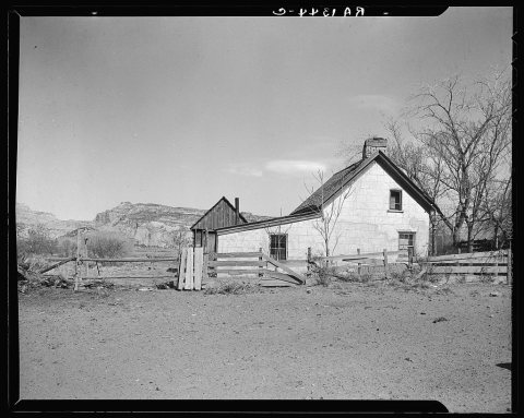
1990s
1 historic place in Escalante
Escalante has 1 listing on the National Register, and they protect 124 historic buildings, because Escalante Historic District alone counts 124.
Where they are
When they were listed
Then & now
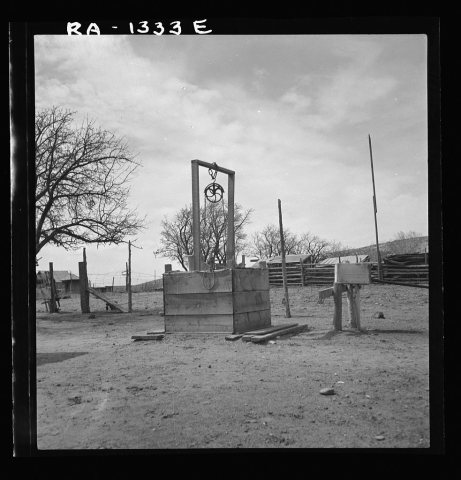
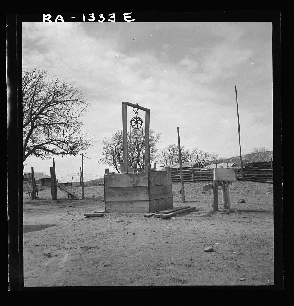
No then-and-now pairs yet. Take a photo from the same spot as Water supply (1936) and it appears here side by side.
🔁 Retake this view · +15Stories next door
nearby towns’ historyFrom the Library of Congress (6). Images are copied here with their credits and licenses, shown on each photo’s page. Refreshed monthly.