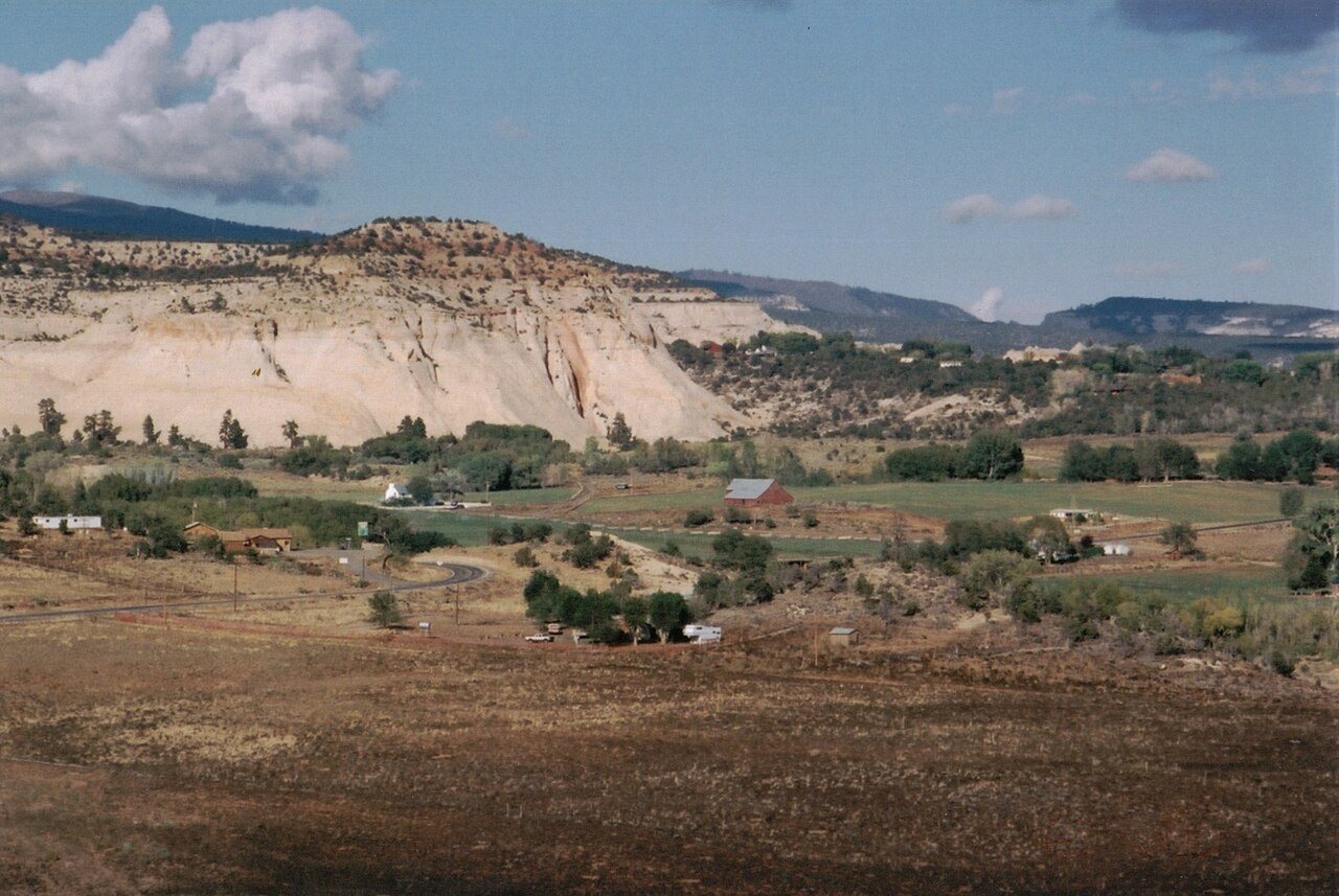
A history of Boulder,
since 1890
Postcards, papers and photographs of Boulder from public archives, woven together by decade. Neighbors fill in the gaps.
The story so far
from Wikipedia & the U.S. CensusBoulder is a town in Garfield County, Utah, United States, 27 miles (44 km) northeast of Escalante on Utah Scenic Byway 12 at its intersection with the Burr Trail. As of the 2020 census, the town population was 227. Boulder was isolated from other communities until the Civilian Conservation Corps built a road from Escalante, and did not get electric power until 1947. The town marks the western terminus of Burr Trail, a mostly paved road that runs eastward through red rock country to the Waterpocket Fold in Capitol Reef National Park. Boulder is the home of Anasazi Indian State Park.
Boulder was established in 1890. Its population held steady between the last two censuses: 226 people in 2010, 227 in 2020. Half of its homes were built before 1975.
Wikipedia doesn’t have a history of Boulder yet — the old photos, dates and memories neighbors add here are how it gets written.
Intro from Wikipedia, licensed CC BY-SA 4.0. Population and housing: U.S. Census Bureau.
Timeline
built from the dates on the items belowFinish Boulder’s story
Most archives stop around 1920. The photos from after that are in family albums, not libraries.
2 of 10 decades since 1900 have photos 🔁Retake an old viewGarfield Stake Relief Society off…, 1925: stand where they stood+15 📦Share a family photoSign in to add one+10Famous people close to Boulder
See all 5 →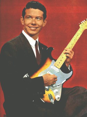
Boulder, decade by decade
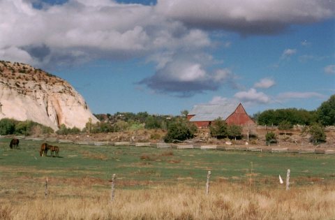
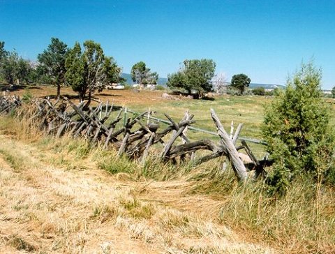
1980s
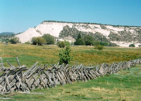
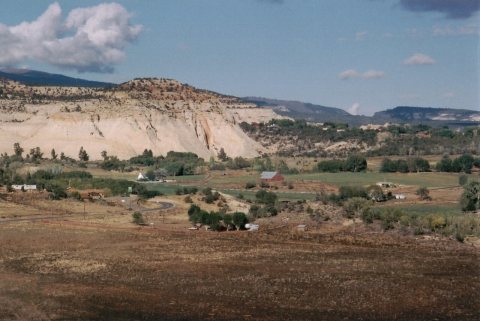
2 historic places in Boulder
2 places in Boulder are on the National Register of Historic Places, the country’s official list of buildings and places worth saving.
Where they are
When they were listed

Then & now
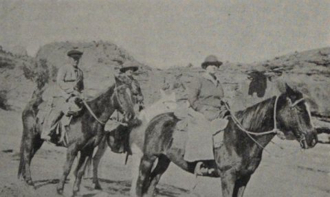
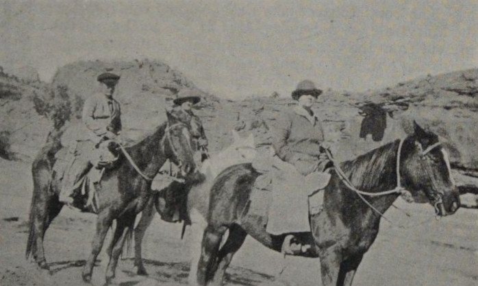
No then-and-now pairs yet. Take a photo from the same spot as Garfield Stake Relief Society officers (Relief Society Magazine, 1925) (1925) and it appears here side by side.
🔁 Retake this view · +15Stories next door
nearby towns’ historyFrom Wikimedia Commons (5) and the National Register (1). Images are copied here with their credits and licenses, shown on each photo’s page. Refreshed monthly.