SDSouth Dakota rankings

Wettest towns in South Dakota

Ranked by rain and melted snow in a normal year, 1991–2020, from NOAA’s gridded climate normals for each town. Neighboring towns on the same 5 km grid square have the same numbers, so each square is listed once, under its largest town. 37 towns with 2,500+ residents.
NOAA U.S. Climate Normals, 1991–2020

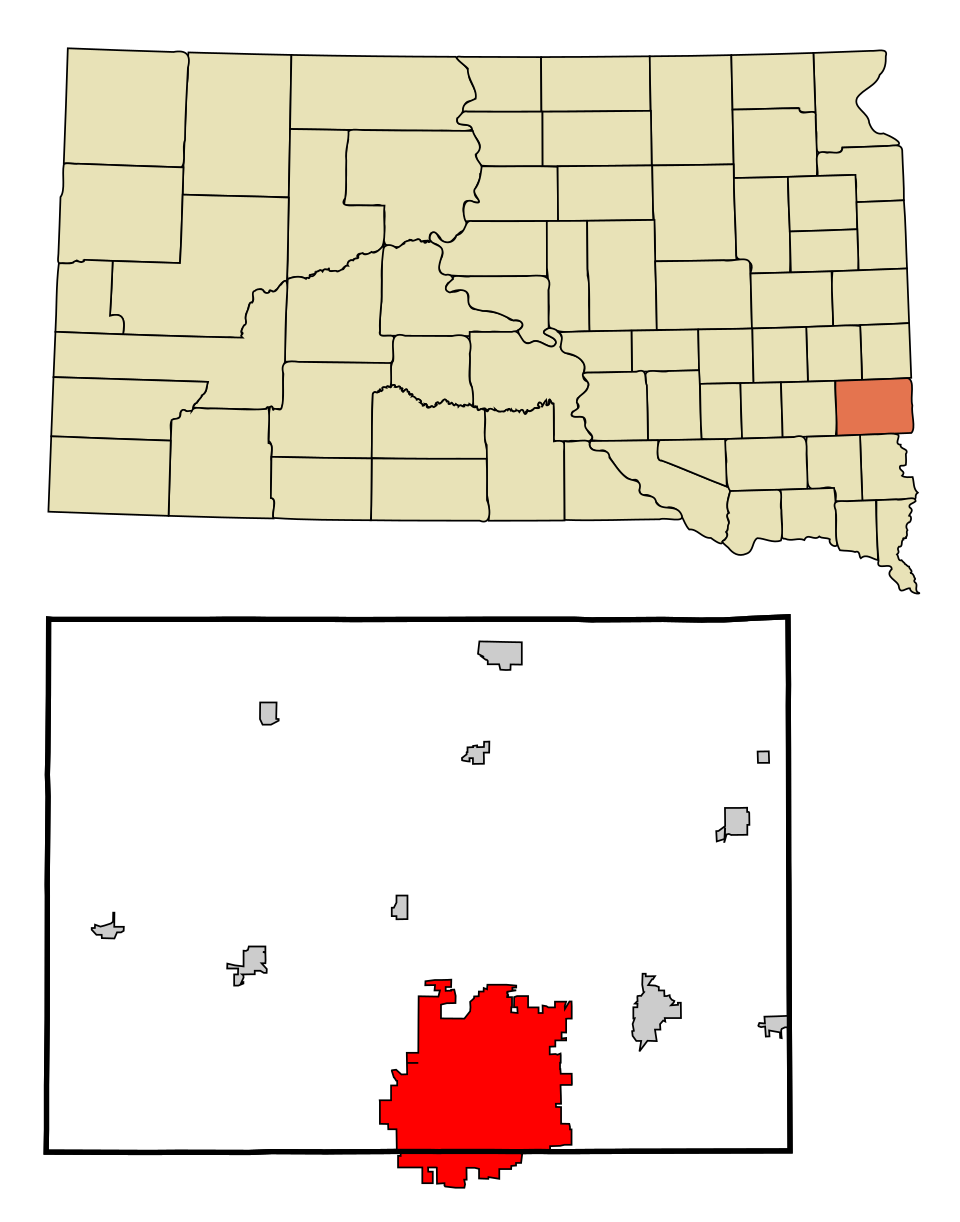
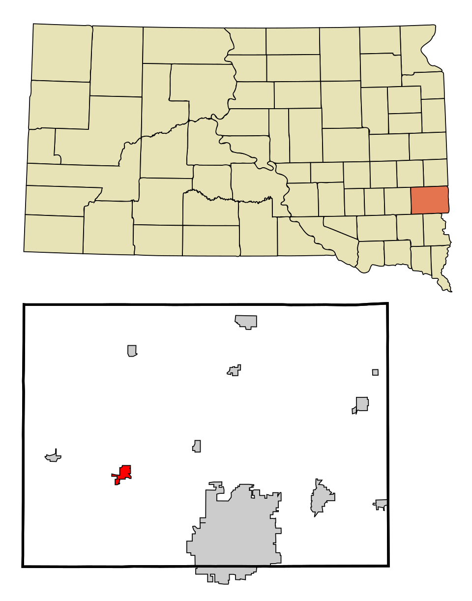
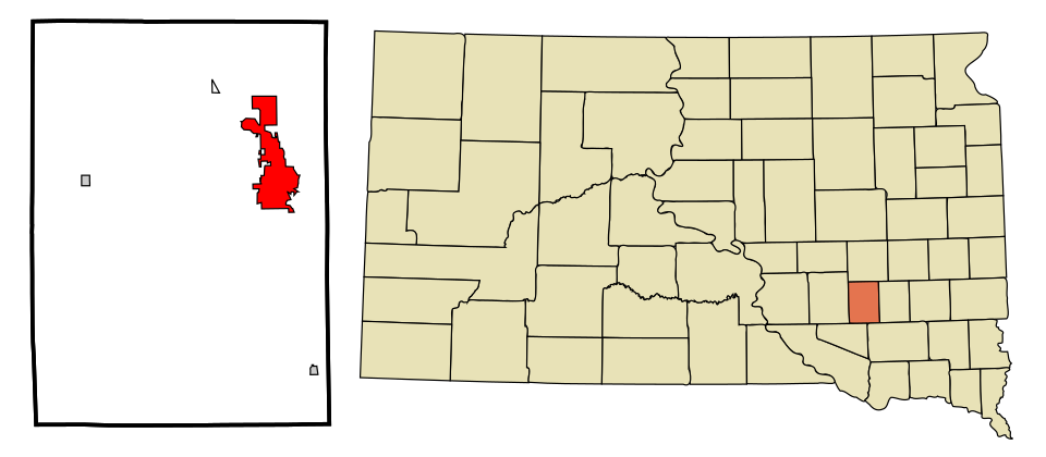
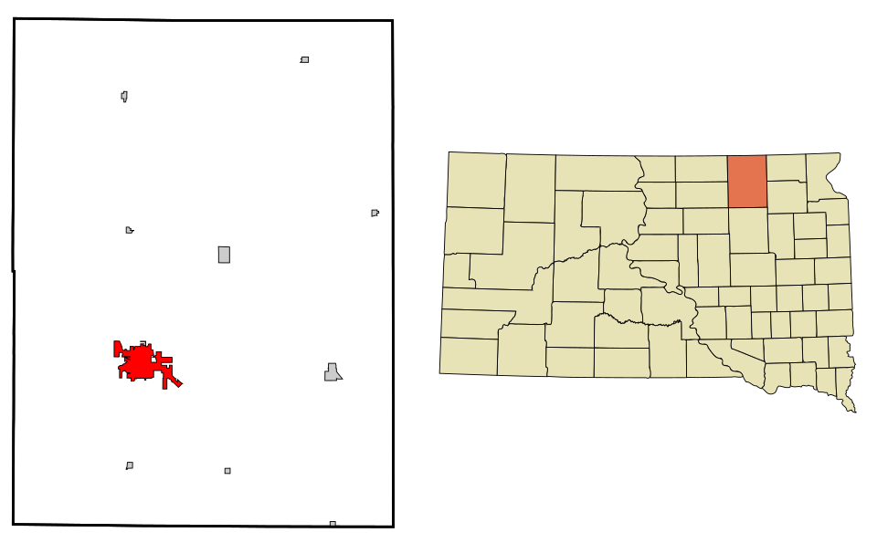
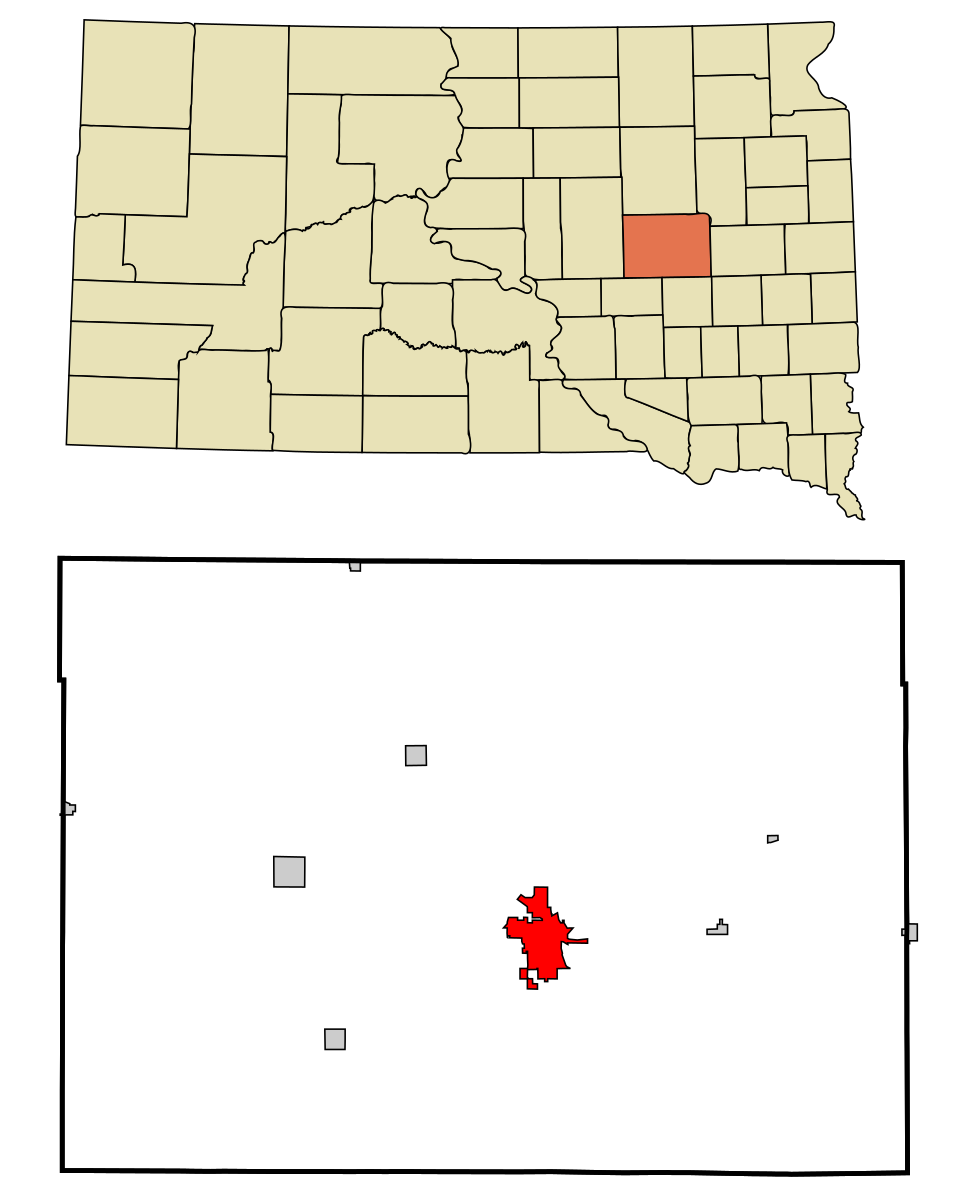
Map of Huron
South Dakota · Wettest

Where Huron lands: #23 of 37

23 in · Visit Huron →

#TownRain + melted snowWettest monthSnow a year
1 Lead Lead3,006 people 31 in May 184 in
2 Dakota Dunes3,936 people 29 in June 36 in
3 Map of Harrisburg Harrisburg8,519 people 29 in June 49 in
4 Map of North Sioux City North Sioux City3,045 people 29 in June 36 in
5 Canton Canton3,033 people 29 in June 36 in
6 Big SiouxUnion County · 4,917 people 29 in June 36 in
7 Map of Sioux Falls Sioux Falls201,469 people 29 in June 49 in
8 Map of Tea Tea6,786 people 29 in June 49 in
9 Split RockMinnehaha County · 3,143 people 28 in June 49 in
10 Elk Point Elk Point2,537 people 28 in June 36 in
11 Vermillion Vermillion11,878 people 28 in June 36 in
12 Map of Brandon Brandon10,996 people 28 in June 49 in
13 Yankton Yankton15,540 people 28 in June 38 in
14 Map of Hartford Hartford3,478 people 28 in June 40 in
15 Dell Rapids Dell Rapids3,905 people 27 in June 40 in
16 Brookings23,948 people 27 in June 36 in
17 Madison Madison6,094 people 27 in June 37 in
18 Milbank Milbank3,525 people 25 in June 32 in
19 Map of Mitchell Mitchell15,649 people 25 in June 41 in
20 Watertown Watertown23,044 people 25 in June 41 in
21 Spearfish Spearfish12,930 people 25 in May 71 in
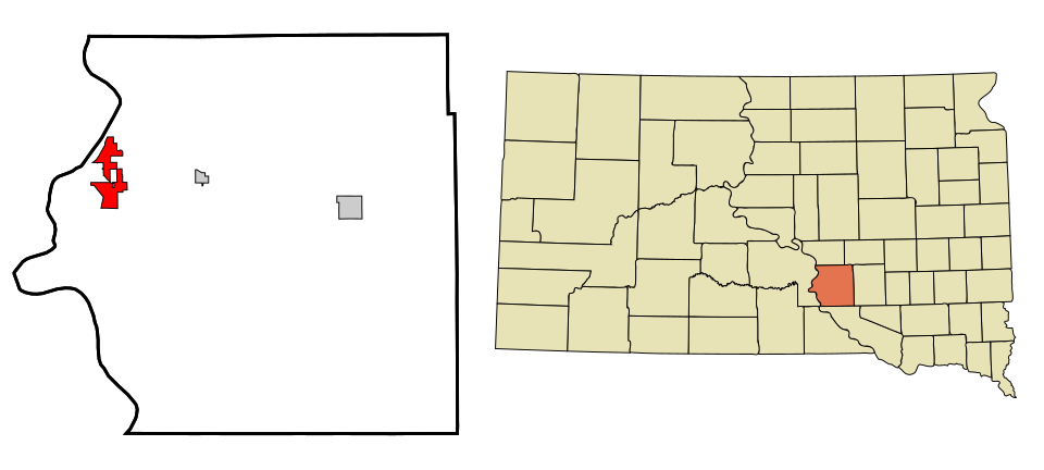
22 Sisseton Sisseton2,670 people 24 in June 48 in
23 Map of Huron Huron14,385 people 23 in June 44 in
24 Map of Chamberlain Chamberlain2,588 people 23 in June 43 in
25 Sturgis Sturgis7,086 people 22 in May 48 in
26 Map of Winner Winner2,905 people 22 in June 49 in
27 Map of Aberdeen Aberdeen28,189 people 22 in June 43 in
28 Map of Summerset Summerset3,022 people 21 in May 36 in
29 Map of Blackhawk Blackhawk2,934 people 20 in May 36 in
30 Map of Colonial Pine Hills Colonial Pine Hills2,609 people 20 in May 36 in
31 Rapid City Rapid City77,946 people 19 in May 36 in
32 Pierre Pierre13,948 people 19 in June 37 in
33 Belle Fourche Belle Fourche5,804 people 19 in May 42 in
34 Box Elder Box Elder12,902 people 19 in May 49 in
35 Rapid Valley Rapid Valley6,975 people 19 in May 49 in
36 Hot Springs Hot Springs3,548 people 18 in May 32 in
37 Mobridge Mobridge2,932 people 18 in June 36 in

How this ranking works

We rank every town by rain and melted snow in a normal year, 1991–2020, from NOAA’s gridded climate normals for each town. The town with the highest figure ranks #1. Normals are 30-year averages, not a forecast, and each town’s Climate page shows its whole year month by month.

Temperatures and rainfall come from NOAA’s gridded normals, about 5 km (3 miles) square, read at each town’s center, so hills and coastlines are built in. Towns whose centers fall in the same square have the same numbers, so only the largest of them is listed.

Only towns with at least 2,500 residents are ranked; Census estimates for smaller places are too uncertain. Population and income: U.S. Census Bureau American Community Survey 5-year estimates. Climate: NOAA NCEI U.S. Climate Normals, 1991–2020. Town photos: Wikimedia Commons, credited on each town’s page.

Same ranking in other states