The story
from WikipediaRead it all ↗The land around Murrells Inlet has a record of human settlement that goes back thousands of years, before written history. Shell mounds and archeological findings from the Atlantic Ocean to the Waccamaw River document the cultures of indigenous peoples who lived in this area. At the time of European encounter, the inhabitants included the historic Waccamaw people, who took advantage of the natural resources provided by the creeks and rivers. Wachesaw is loosely translated as "Place of Great Weeping", in reference to the burial grounds. Indian burial mounds have been found along the high bluffs at Wachesaw that contained European beads, urns and other artifacts.
Text from Wikipedia, licensed CC BY-SA 4.0.
Start Murrells Inlet’s collection
The first neighbors to add old photos shape how Murrells Inlet’s history is told.
0 of 10 decades since 1900 have photos 📦Share a family photoSign in to add one+10Murrells Inlet, decade by decade
2000
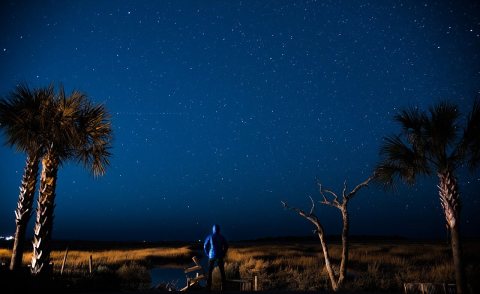 CommonsCoastal Carolina Nightlife (Unsplash)2016
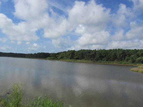 CommonsHuntington Causeway2015
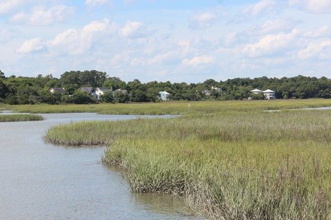 CommonsHouses by the marsh2015
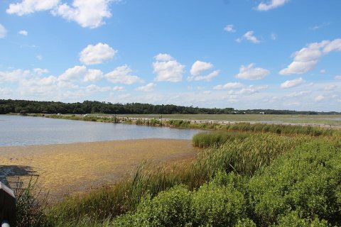 CommonsCauseway - panoramio (6)2015
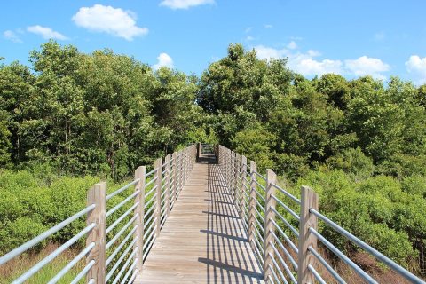 CommonsBoardwalk - panoramio (6)2015
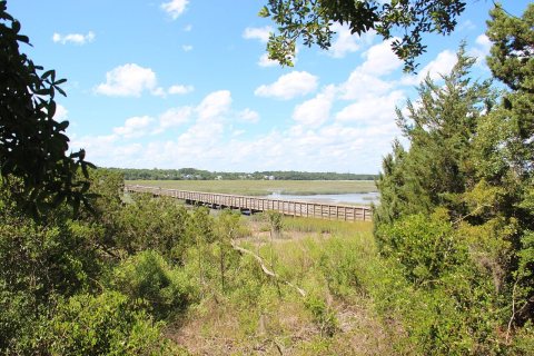 CommonsBoardwalk - panoramio (5)2015
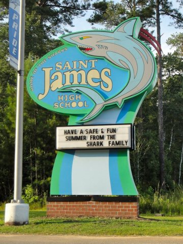 CommonsSJHSsign2012
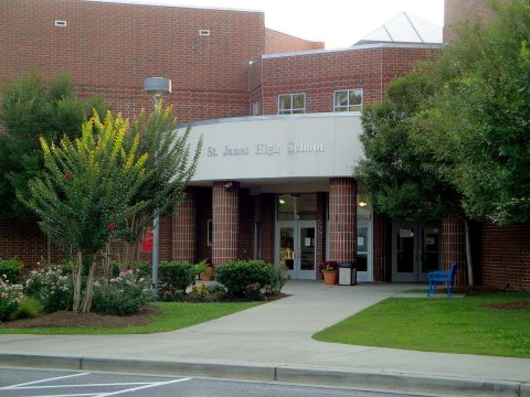 CommonsSJHSbuilding2012
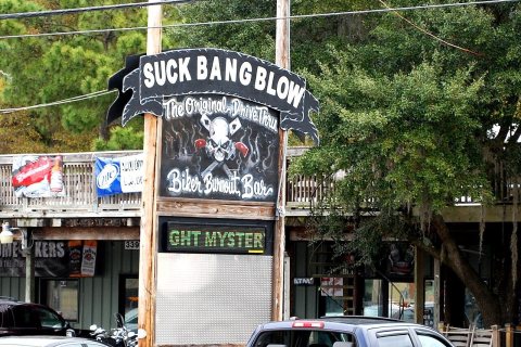 CommonsSBB in Murrell's Inlet2011
 CommonsInlet Square Mall2011
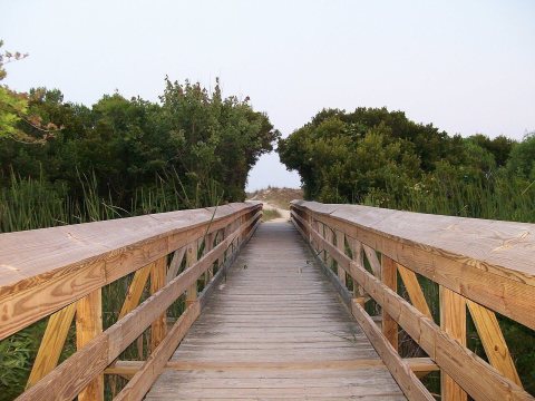 CommonsBoardwalk - panoramio (1)2008
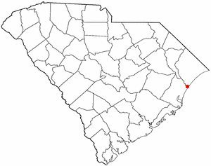 CommonsSCMap-doton-MurrellsInlet2004
2 historic places in Murrells Inlet
Murrells Inlet has 2 listings on the National Register, and they protect 41 historic buildings, because Murrells Inlet Historic District alone counts 37.
Where they are
When they were listed

Then & now
When neighbors add old photos, retakes from the same spot appear here side by side.
Stories next door
nearby towns’ historyFrom Wikimedia Commons (12). Images are copied here with their credits and licenses, shown on each photo’s page. Refreshed monthly.