Surfside Beach’s history is
mostly unwritten
The public archives hold only 2 old photos of Surfside Beach. The rest are in attics, shoeboxes and the historical society. Help start the collection.
The story
from WikipediaRead it all ↗In the early nineteenth century, there is evidence of a slave plantation of 3,200 acres (1838) at what is now Surfside Beach. There are traveler accounts from the eighteenth century of the area. The 1765 diary of John Bartram, botanist, shows him lodging at what was probably Stephen Peak's slave plantation, "at the west end of long bay". In 1773, William Bartram, naturalist, also "got to the West end of Long Bay, where [he] lodged at a large Indigo plantation". The plantation in question was called "The Ark", a name for which the first record is in 1867; it may have originally been owned by "Mr. Aark". In 1820 it was owned by John Tillman. The 1838 survey recorded it having 3,194 acres. The plantation reported 57 enslaved people in 1850 and 63 in 1860. In 1850 the crops were sweet potatoes and rice. Other farmed animals and crops are thought to have included cattle, sheep, pigs, Indian …
Text from Wikipedia, licensed CC BY-SA 4.0.
Timeline
built from the dates on the items belowStart Surfside Beach’s collection
The first neighbors to add old photos shape how Surfside Beach’s history is told.
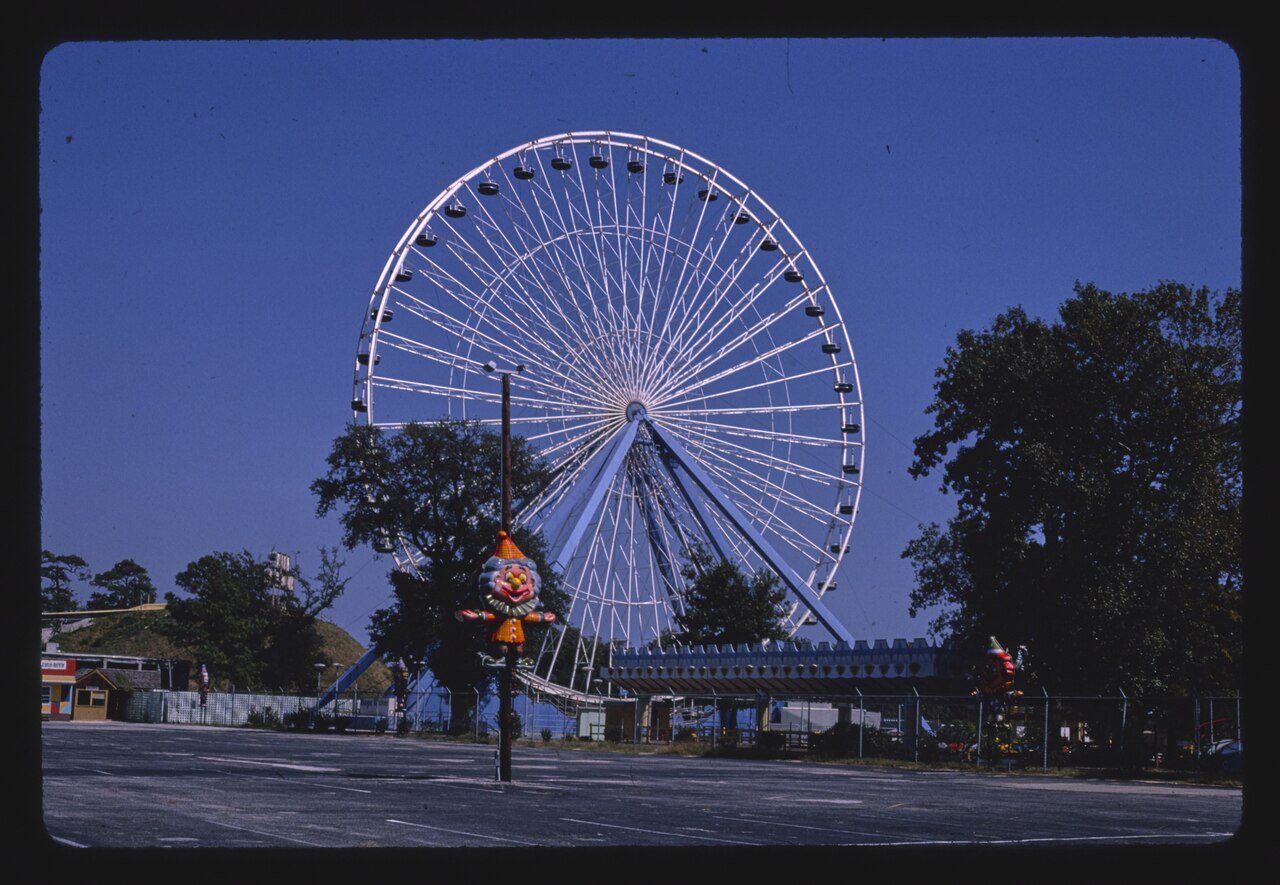
1 of 10 decades since 1900 have photos 🔁Retake an old viewMagic Harbor giant ferris wheel, 1985: stand where they stood+15 📦Share a family photoSign in to add one+10Famous people from Surfside Beach
See all 2 →
Surfside Beach, decade by decade
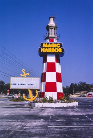
1990s
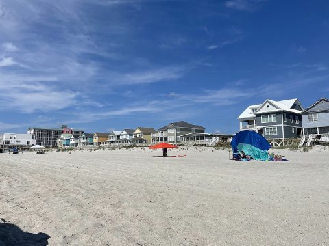
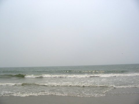
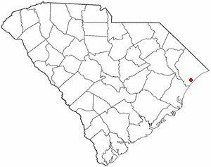
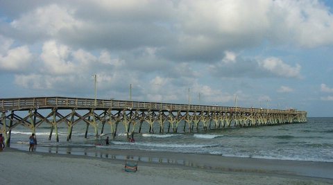
Nothing in Surfside Beach is on the National Register yet
That’s true of most small towns. It doesn’t mean Surfside Beach has no history, only that no one has written up a nomination. The closest listed place is Murrells Inlet Historic District in Murrells Inlet, 4.1 miles away.
Surfside Beach and the nearest listed places
How a place gets listed
Then & now
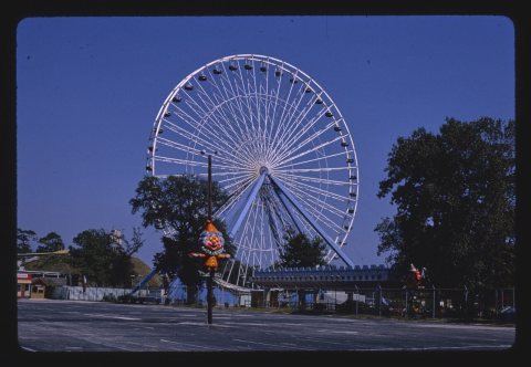
No then-and-now pairs yet. Take a photo from the same spot as Magic Harbor giant ferris wheel (1985) and it appears here side by side.
🔁 Retake this view · +15Stories next door
nearby towns’ historyFrom Wikimedia Commons (8). Images are copied here with their credits and licenses, shown on each photo’s page. Refreshed monthly.