Andrews’s history is
mostly unwritten
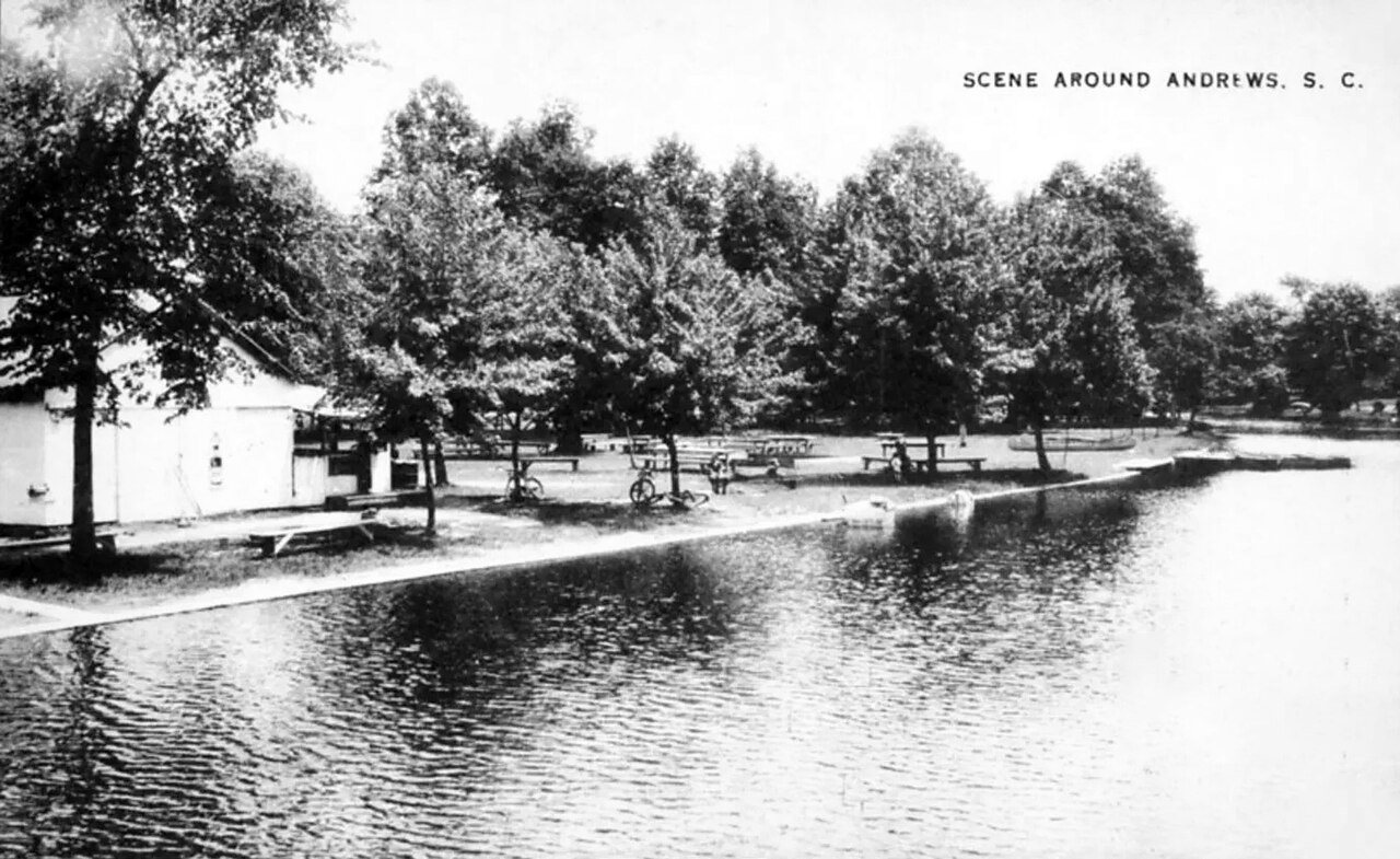
The public archives hold just one old photo of Andrews. The rest are in attics, shoeboxes and the historical society. Help start the collection.
The story
from WikipediaRead it all ↗The towns of Rosemary and Harpers Crossroads were settled along the Georgetown and Western Railroad, which started operation in 1886. In 1905, the Seaboard Air Line Railroad built a route through the town, along with a sizable maintenance shop. In 1909, voters agreed to incorporate the two separate towns into a single community, which was named Andrews, after Colonel Walter H. Andrews, who played an important role in the incorporation. Andrews worked for the Atlantic Coast Lumber Co. and served as mayor through most of the 1920s. In 1915, a town hall was built, which is now a museum. By 1919, Andrews had reached a population of 2,000 and continued to grow. During the 1920s, Andrews had the title of being the fastest growing town in the United States for its age. The two schools were the Andrews School and the Rosemary School. These were segregated, with the Andrews School being the whit…
Text from Wikipedia, licensed CC BY-SA 4.0.
Timeline
built from the dates on the items belowStart Andrews’s collection
The first neighbors to add old photos shape how Andrews’s history is told.
1 of 10 decades since 1900 have photos 🔁Retake an old viewSouth Carolina - Scene around, c. 1940: stand where they stood+15 📦Share a family photoSign in to add one+10Famous people from Andrews
See all 1 →Andrews, decade by decade
1990s
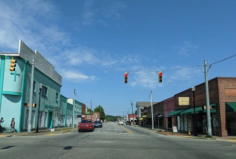 CommonsAndrews SC2021
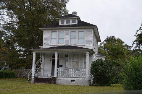 CommonsAndrews, SC 9-21-13 - 082013
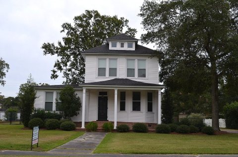 CommonsAndrews, SC 9-21-13 - 072013
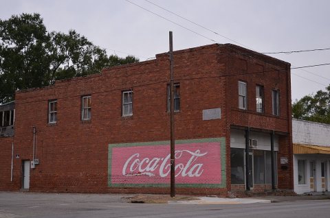 CommonsAndrews, SC 9-21-13 - 062013
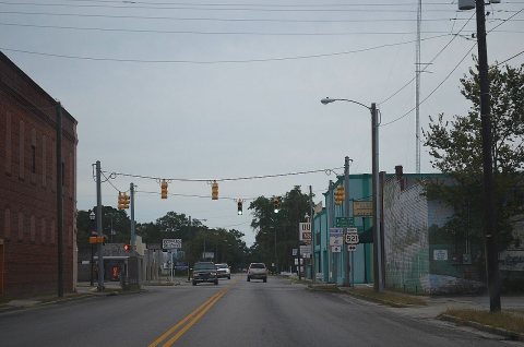 CommonsAndrews, SC 9-21-13 - 052013
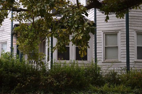 CommonsAndrews, SC 9-21-13 - 042013
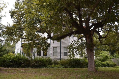 CommonsAndrews, SC 9-21-13 - 032013
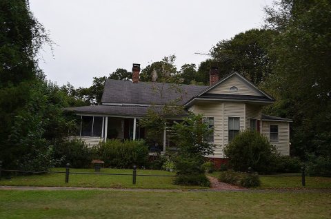 CommonsAndrews, SC 9-21-13 - 022013
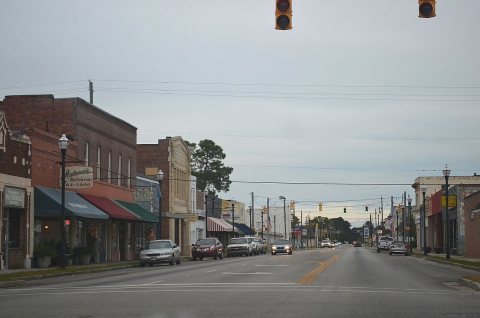 CommonsAndrews, SC 9-21-13 - 012013
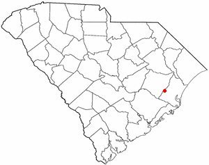 CommonsSCMap-doton-Andrews2004
Nothing in Andrews is on the National Register yet
That’s true of most small towns. It doesn’t mean Andrews has no history, only that no one has written up a nomination. The closest listed place is Rural Hall Plantation House in Dunbar, 13.5 miles away.
Andrews and the nearest listed places
How a place gets listed
Then & now
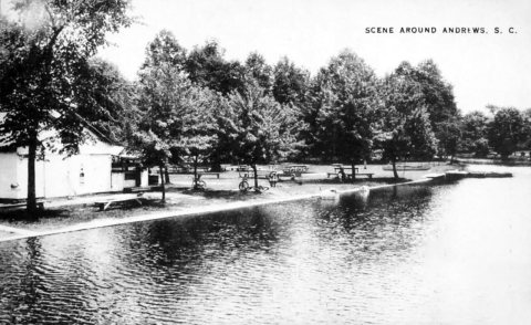
No then-and-now pairs yet. Take a photo from the same spot as South Carolina - Scene around (c. 1940) and it appears here side by side.
🔁 Retake this view · +15Stories next door
nearby towns’ historyFrom Wikimedia Commons (11). Images are copied here with their credits and licenses, shown on each photo’s page. Refreshed monthly.