RIRhode Island rankings

Towns with the coolest summers in Rhode Island

Ranked by the typical afternoon high in July, 1991–2020, from NOAA’s gridded climate normals for each town. Neighboring towns on the same 5 km grid square have the same numbers, so each square is listed once, under its largest town. 38 towns with 2,500+ residents.
NOAA U.S. Climate Normals, 1991–2020

#TownJuly highDays at 90°+July low
1 South Kingstown South KingstownWashington County · 32,073 people 80.3° 4 64°
2 Narragansett NarragansettWashington County · 14,494 people 80.3° 4 64°
3 Charlestown CharlestownWashington County · 8,051 people 80.3° 3 64°
4 Newport Newport24,874 people 80.6° 2 65°
5 Jamestown JamestownNewport County · 5,534 people 80.8° 2 65°
6 Middletown MiddletownNewport County · 16,832 people 80.9° 2 64°
7 Westerly WesterlyWashington County · 23,333 people 81.1° 3 64°
8 Little Compton Little ComptonNewport County · 3,584 people 81.1° 2 64°
9 North Kingstown North KingstownWashington County · 27,859 people 81.3° 9 65°
10 Tiverton TivertonNewport County · 16,189 people 81.3° 13 65°
11 Foster FosterProvidence County · 4,523 people 81.3° 4 61°
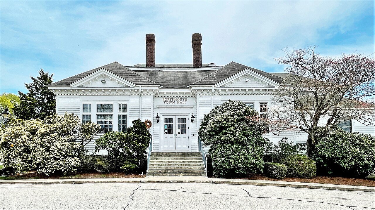
12 Portsmouth PortsmouthNewport County · 17,644 people 81.4° 12 65°
13 Exeter ExeterWashington County · 7,195 people 81.5° 9 62°
14 Bristol BristolBristol County · 22,220 people 81.7° 12 65°
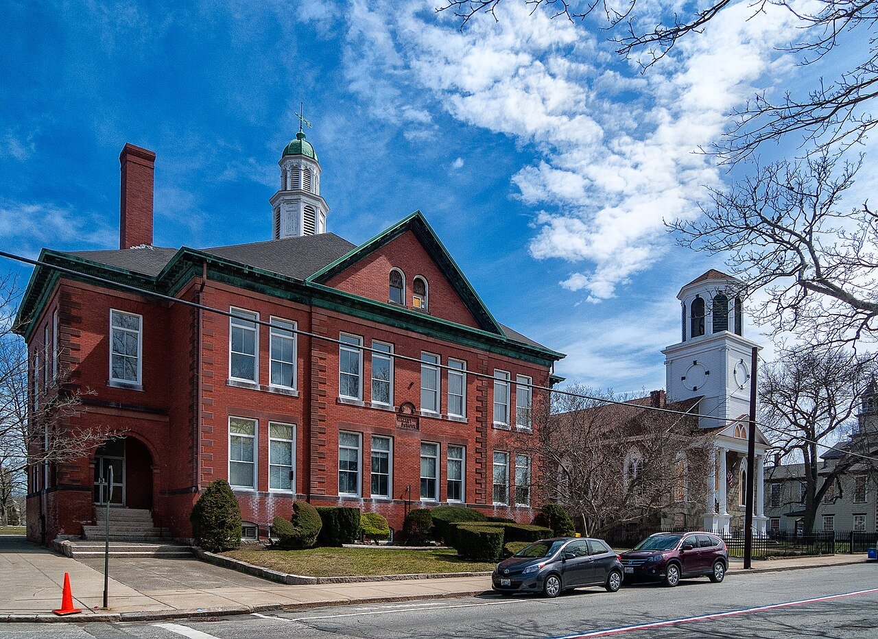
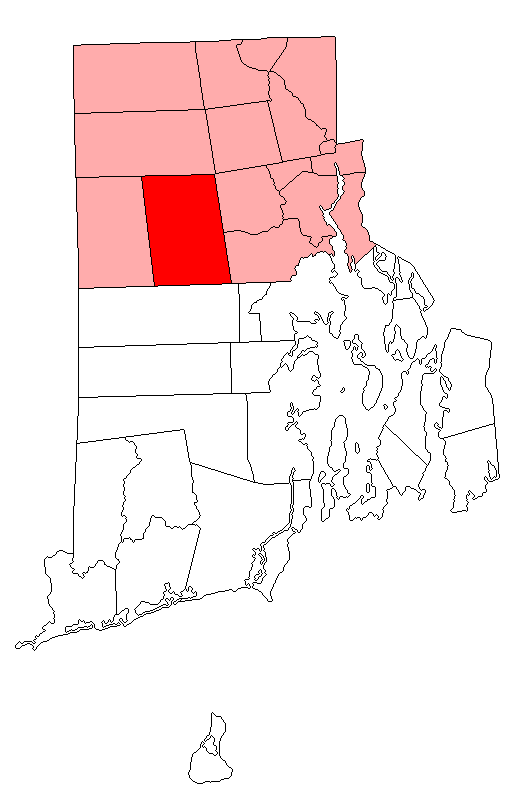
15 Map of Scituate ScituateProvidence County · 10,517 people 81.7° 4 62°
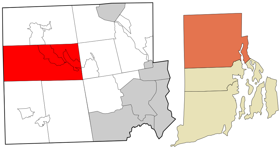
16 Map of Glocester GlocesterProvidence County · 10,221 people 81.8° 4 61°
17 West Greenwich West GreenwichKent County · 6,647 people 81.8° 9 62°
18 Warwick Warwick83,175 people 81.9° 12 65°
19 Coventry CoventryKent County · 35,907 people 82.0° 4 62°
20 East Greenwich East GreenwichKent County · 14,554 people 82.0° 12 63°
21 Warren WarrenBristol County · 11,144 people 82.1° 12 65°
22 Hopkinton HopkintonWashington County · 8,420 people 82.1° 9 62°
23 Barrington BarringtonBristol County · 17,126 people 82.2° 12 65°
24 Burrillville BurrillvilleProvidence County · 16,427 people 82.2° 4 61°
25 Richmond RichmondWashington County · 8,142 people 82.3° 9 63°
26 West Warwick West WarwickKent County · 31,173 people 82.4° 12 63°
27 Pawtucket Pawtucket75,893 people 82.5° 12 65°
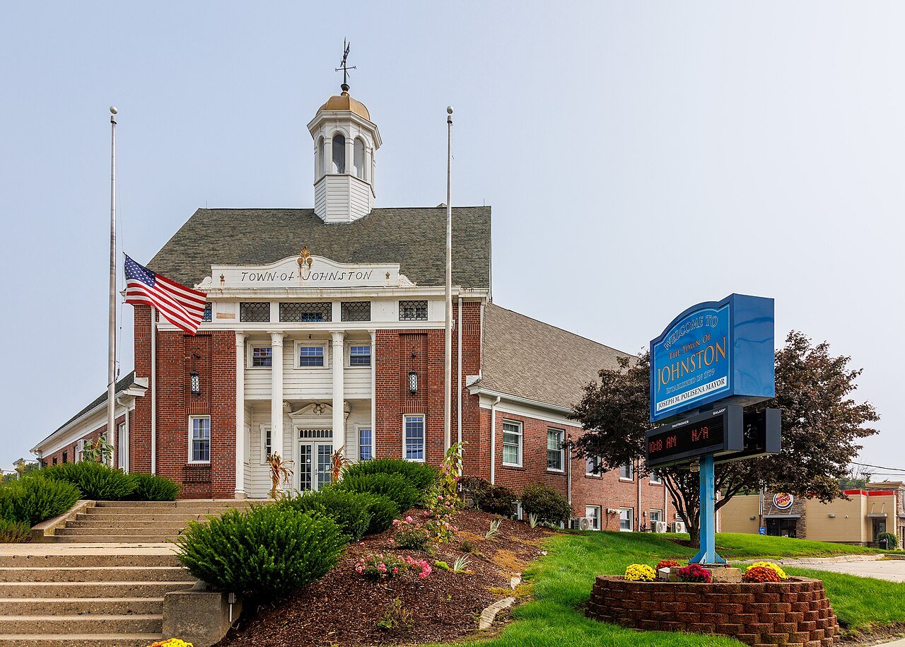
28 Johnston JohnstonProvidence County · 29,835 people 82.5° 12 62°
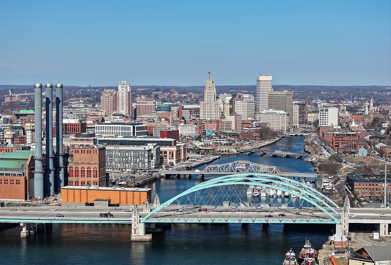
29 Providence Providence191,767 people 82.6° 12 64°
30 East Providence East Providence47,281 people 82.6° 12 65°
31 Central Falls Central Falls22,701 people 82.7° 12 64°
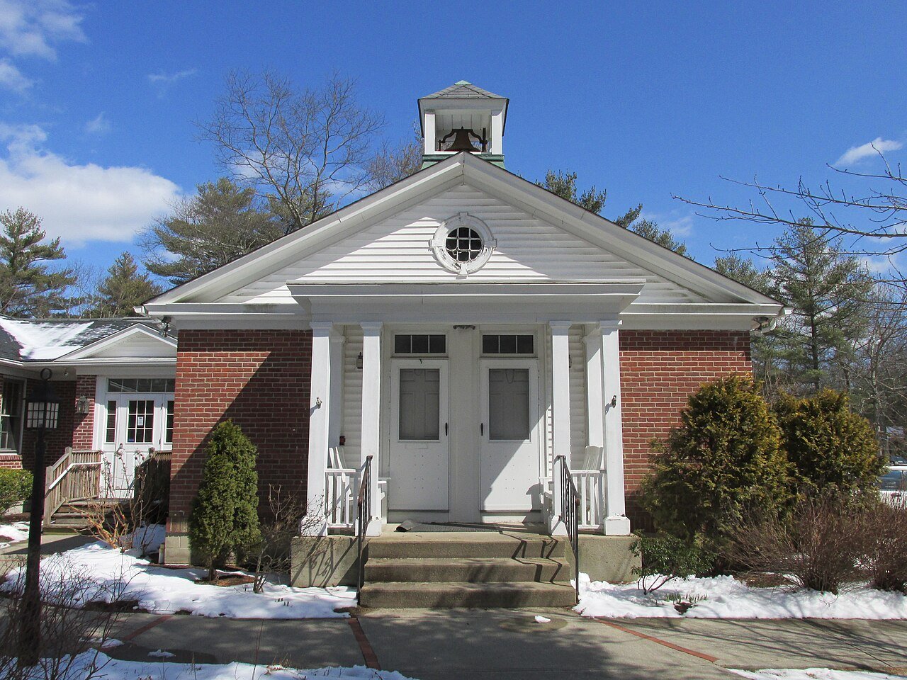
32 Map of Smithfield SmithfieldProvidence County · 22,233 people 82.8° 14 62°
33 North Providence North ProvidenceProvidence County · 34,293 people 82.9° 12 64°
34 Lincoln LincolnProvidence County · 22,864 people 82.9° 14 63°
35 North Smithfield North SmithfieldProvidence County · 12,708 people 82.9° 14 62°
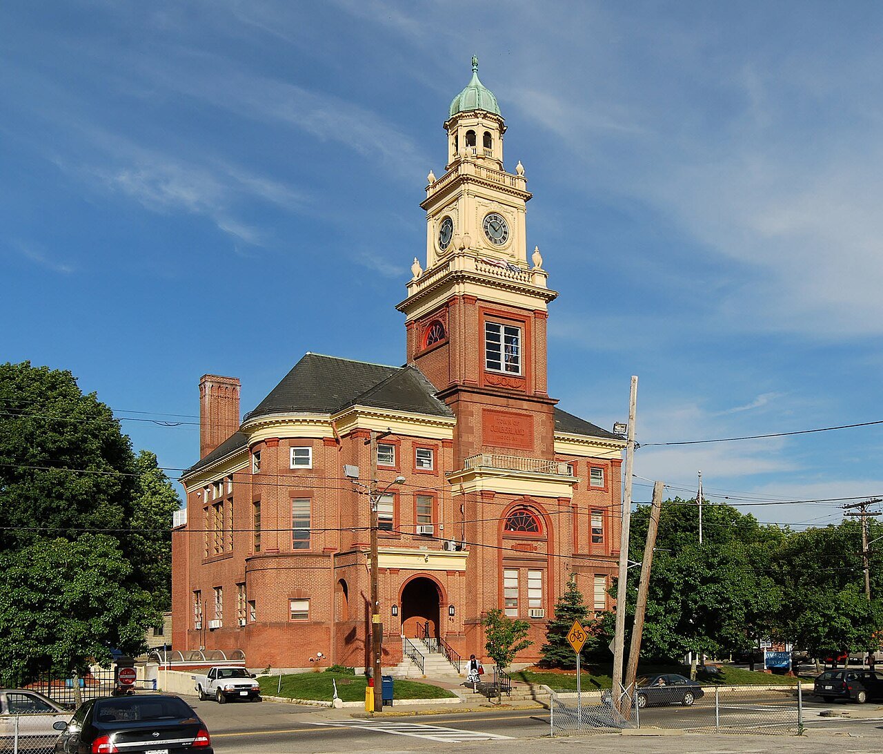
36 Cumberland CumberlandProvidence County · 36,820 people 83.0° 14 62°
37 Cranston Cranston83,250 people 83.1° 12 63°
38 Woonsocket Woonsocket43,521 people 83.3° 14 62°

How this ranking works

We rank every town by the typical afternoon high in July, 1991–2020, from NOAA’s gridded climate normals for each town. The lowest ranks first. The town with the lowest figure ranks #1. Normals are 30-year averages, not a forecast, and each town’s Climate page shows its whole year month by month.

Temperatures and rainfall come from NOAA’s gridded normals, about 5 km (3 miles) square, read at each town’s center, so hills and coastlines are built in. Towns whose centers fall in the same square have the same numbers, so only the largest of them is listed.

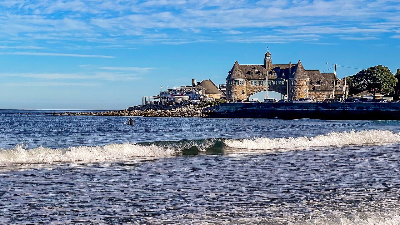
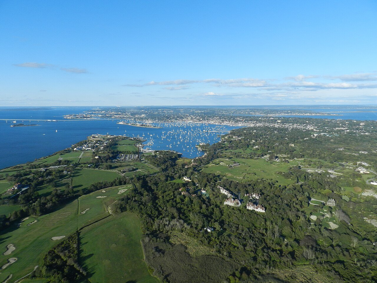
Only towns with at least 2,500 residents are ranked; Census estimates for smaller places are too uncertain. Population and income: U.S. Census Bureau American Community Survey 5-year estimates. Climate: NOAA NCEI U.S. Climate Normals, 1991–2020. Town photos: Wikimedia Commons, credited on each town’s page.

Same ranking in other states