The story
from WikipediaRead it all ↗Yale's founding in 1895 is attributed to a local farmer, Sterling F. Underwood, who established a post office by that name in his general store, about 1.5 miles (2.4 km) east of the present town. When the Eastern Oklahoma Railway built its line across Payne County, a group led by George W. Canfield began a different townsite also within Eagle Township that would be closer to the railroad, at its planned junction with the Missouri–Kansas–Texas Railroad. Underwood moved his store to the new site in 1902, making the new site the permanent location for the town of Yale. A 1907 map shows the town contained 230 acres surrounding the railroad junction, and to its east southeast the Underwood farm of 158 acres. By 1910, Yale had a population of 685, supported mostly by agricultural services and cotton processing.
Text from Wikipedia, licensed CC BY-SA 4.0.
Start Yale’s collection
The first neighbors to add old photos shape how Yale’s history is told.
0 of 10 decades since 1900 have photos 📦Share a family photoSign in to add one+10Famous people from Yale
See all 4 →
Yale, decade by decade
2000
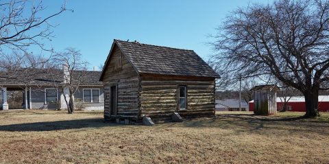 LOCThe restored, 1876 Rice-Payne cabin, thought to be the olde…2020
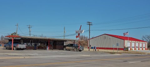 LOCThe metal sunroof over the Dairy Hut in the town of Yale, O…2020
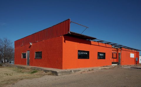 LOCAn otherwise-ordinary commercial building in the small Okla…2020
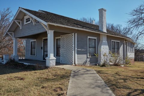 LOCThe modest Jim Thorpe Home2020
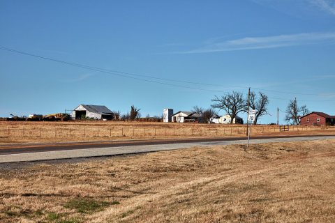 LOCRural scene near the small Payne County, Oklahoma, city of …2020
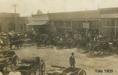 CommonsYale main 19092014
Nothing in Yale is on the National Register yet
That’s true of most small towns. It doesn’t mean Yale has no history, only that no one has written up a nomination. The closest listed place is Jim Thorpe House in Ingalls, 6.1 miles away.
Yale and the nearest listed places
How a place gets listed
Then & now
When neighbors add old photos, retakes from the same spot appear here side by side.
Stories next door
nearby towns’ historyFrom Wikimedia Commons (1) and the Library of Congress (5). Images are copied here with their credits and licenses, shown on each photo’s page. Refreshed monthly.