The story
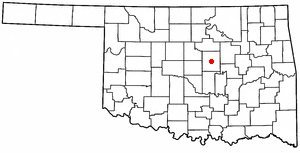
from WikipediaRead it all ↗Chandler was named after Judge George Chandler, also Assistant Secretary of the Interior. The site of Chandler was opened by a land run on September 28, 1891. The town had been planned to be opened on September 22 (the date of the Land Run of 1891), but the site survey had not been completed. The Chandler Post Office had opened on September 21, the day before the planned run. When Oklahoma Territory County A (Lincoln County) was organized, Chandler became the county seat. On March 30, 1897, a tornado destroyed most of the fledgling town and killed 14 residents.
Text from Wikipedia, licensed CC BY-SA 4.0.
Timeline
built from the dates on the items belowStart Chandler’s collection
The first neighbors to add old photos shape how Chandler’s history is told.
1 of 10 decades since 1900 have photos 🔁Retake an old viewGas pump, Route 66, 1979: stand where they stood+15 📦Share a family photoSign in to add one+10Famous people from Chandler
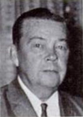
See all 6 →

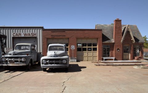
Chandler, decade by decade
1990s
Then & now
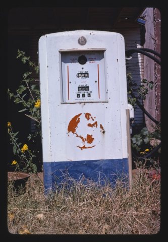
No then-and-now pairs yet. Take a photo from the same spot as Gas pump, Route 66 (1979) and it appears here side by side.
🔁 Retake this view · +15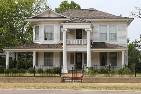
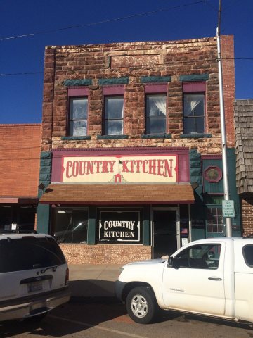
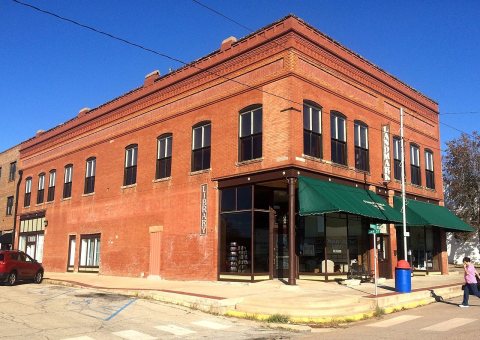
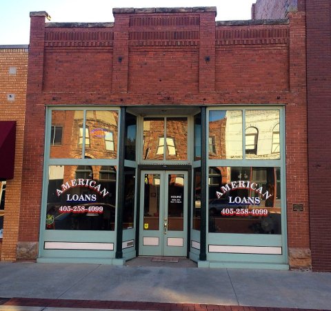
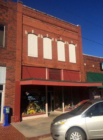
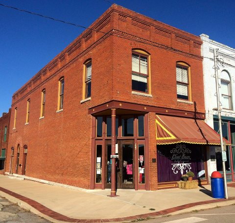
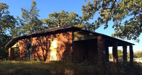
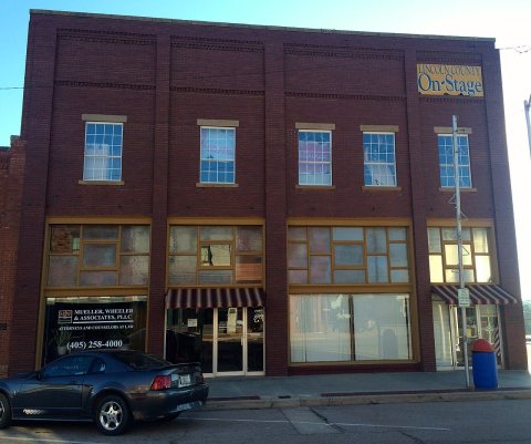
From Wikimedia Commons (3) and the National Register (9). Images are copied here with their credits and licenses, shown on each photo’s page. Refreshed monthly.