Calumet’s history is
mostly unwritten
The public archives hold just one old photo of Calumet. The rest are in attics, shoeboxes and the historical society. Help start the collection.
The story
from WikipediaRead it all ↗Calumet incorporated in 1942 in order to construct a town water system. Prior to its incorporation, the town existed as an unincorporated community with a post office, three combination mills and elevators, two general stores, a furniture store, and a hardware store.
The town lies in an area that in 1803 was part of the Louisiana Purchase. After the Organic Act of 1890 recreated the area as Oklahoma Territory, present-day Canadian County was designated as County Four and settled by non-Indian settlers through the Land Run of 1889, the Land Run of 1892, and a 1901 land lottery. The Land Run of 1892 opened up the surplus Cheyenne-Arapaho lands to non-Indian settlement, which opened up Calumet.
Text from Wikipedia, licensed CC BY-SA 4.0.
Timeline
built from the dates on the items belowStart Calumet’s collection
The first neighbors to add old photos shape how Calumet’s history is told.
0 of 10 decades since 1900 have photos 🔁Retake an old view1940 Census Enumeration District …, 1880: stand where they stood+15 📦Share a family photoSign in to add one+10Calumet, decade by decade
1990s
Nothing in Calumet is on the National Register yet
That’s true of most small towns. It doesn’t mean Calumet has no history, only that no one has written up a nomination. The closest listed place is Fort Reno in El Reno, 5.7 miles away.
Calumet and the nearest listed places


How a place gets listed
Then & now
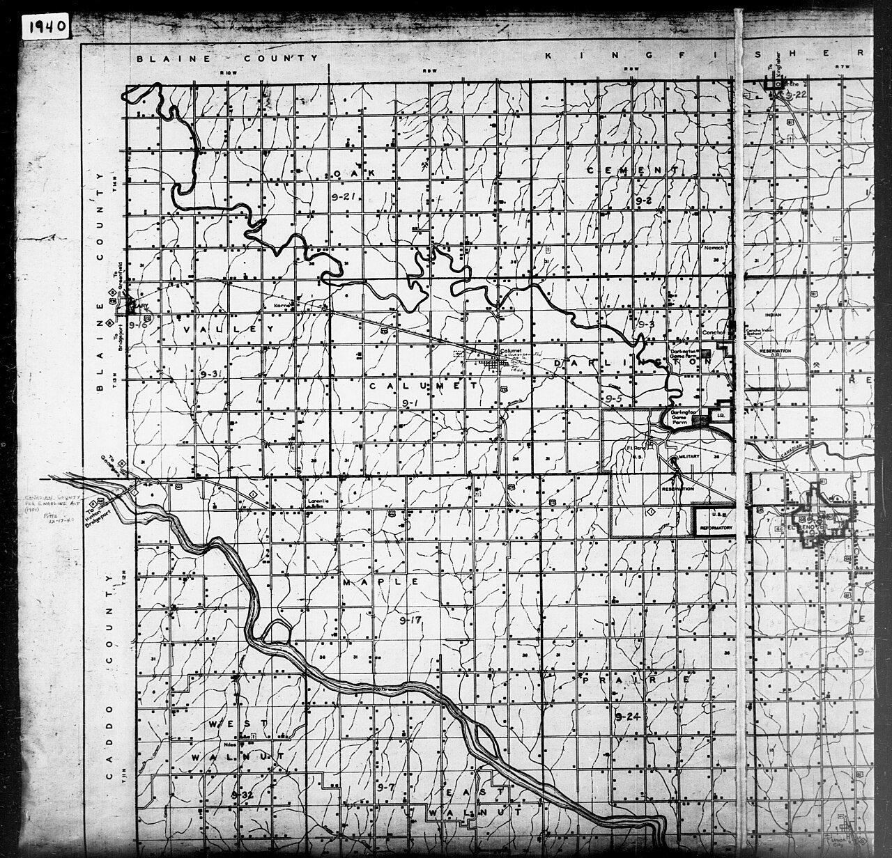
No then-and-now pairs yet. Take a photo from the same spot as 1940 Census Enumeration District Maps - Oklahoma - Canadian County - ED 9-1 - ED 9-35 (1880) and it appears here side by side.
🔁 Retake this view · +15From Wikimedia Commons (1). Images are copied here with their credits and licenses, shown on each photo’s page. Refreshed monthly.