A history of Huron,
since 1792
Postcards, papers and photographs of Huron from public archives, woven together by decade. Neighbors fill in the gaps.
The story
from WikipediaRead it all ↗Huron Township was at the center of the "Firelands" region of the Connecticut Western Reserve. The first permanent settler in the area that became Huron Township was a Quebec-born trapper, trader and interpreter named John Baptiste Flammand (or, "Flemming"; and often misspelled "Flemmond"), who established a trading post about 1805, approx. two miles inland upon the east bank of the Huron River. Other French traders had preceded him, including Gabriel Hunot in the 1780s.
Text from Wikipedia, licensed CC BY-SA 4.0.
Timeline
built from the dates on the items belowFinish Huron’s story
Most archives stop around 1920. The photos from after that are in family albums, not libraries.
0 of 10 decades since 1900 have photos 🔁Retake an old viewHuron-ConAgra Redevelopment Proje…, 1899: stand where they stood+15 📦Share a family photoSign in to add one+10Famous people from Huron
See all 6 →Huron, decade by decade
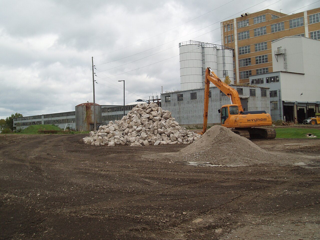
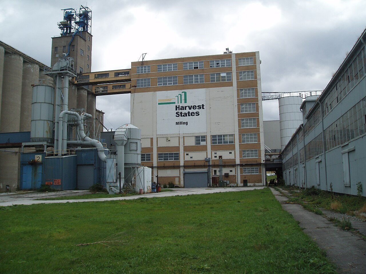
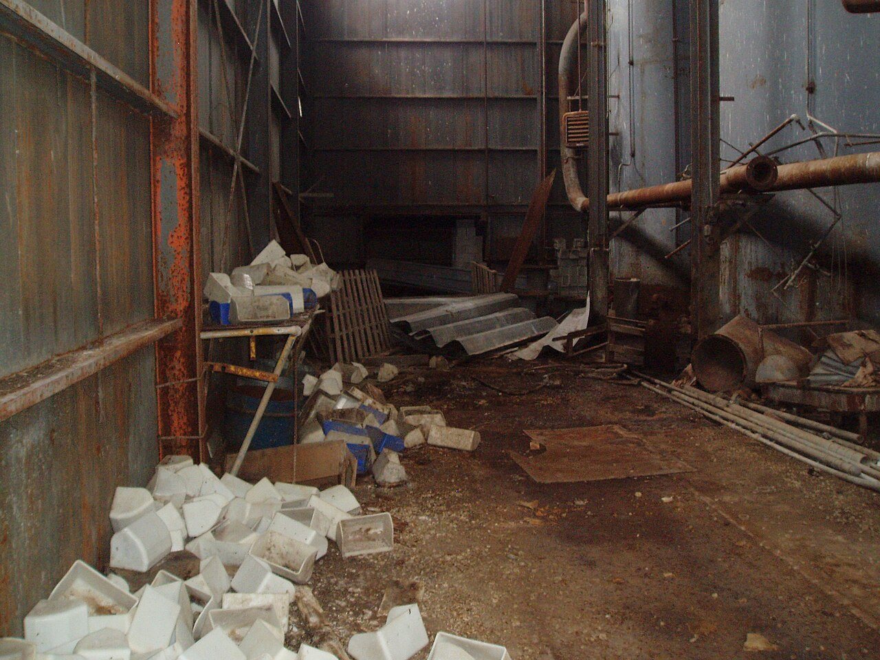
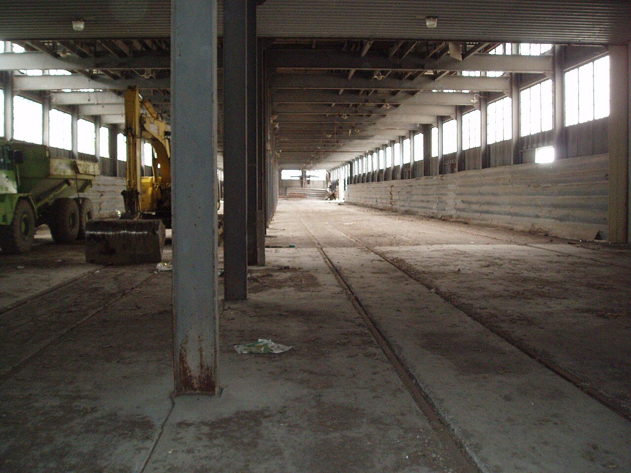
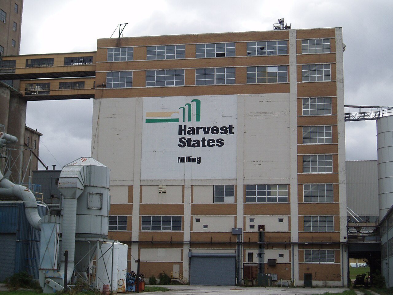
 CommonsHuron-ConAgra Redevelopment Project (CORF)1899
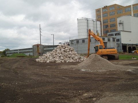
 CommonsHuron-ConAgra Redevelopment Project (CORF)1899
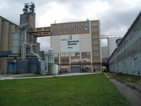
 CommonsHuron-ConAgra Redevelopment Project (CORF)1899
 CommonsHuron-ConAgra Redevelopment Project (CORF)1899
 CommonsHuron-ConAgra Redevelopment Project (CORF)1899
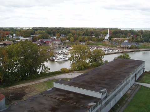 CommonsHuron-ConAgra Redevelopment Project (CORF)1899
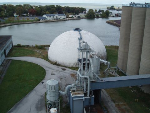 CommonsHuron-ConAgra Redevelopment Project (CORF)1899
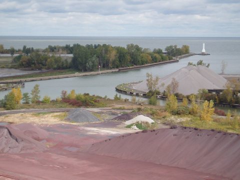 CommonsHuron-ConAgra Redevelopment Project (CORF)1899
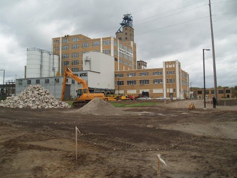 CommonsHuron-ConAgra Redevelopment Project (CORF)1899
 CommonsHuron-ConAgra Redevelopment Project (CORF)1899
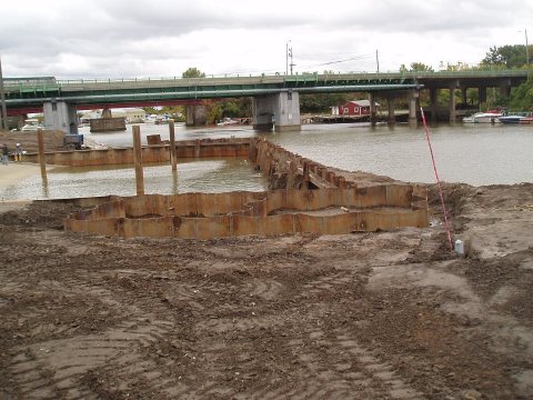 CommonsHuron-ConAgra Redevelopment Project (CORF)1899
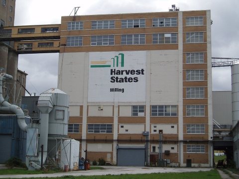 CommonsHuron-ConAgra Redevelopment Project (CORF)1899
1990s
Then & now
No then-and-now pairs yet. Take a photo from the same spot as Huron-ConAgra Redevelopment Project (CORF) (1899) and it appears here side by side.
🔁 Retake this view · +15Stories next door
nearby towns’ historyFrom Wikimedia Commons (12). Images are copied here with their credits and licenses, shown on each photo’s page. Refreshed monthly.