A history of Bradford,
since 1865
Postcards, papers and photographs of Bradford from public archives, woven together by decade. Neighbors fill in the gaps.
The story
from WikipediaRead it all ↗Bradford was platted in 1865 entirely within Darke County, and it incorporated in 1871. The village was named for Tom Bradford, a railroad official. Its population was recorded at 243 by the 1870 Census. By 1890, the community had grown to 1,338 residents, the majority of whom lived in Miami County. Its growth was due to its location on the Pittsburgh, Cincinnati, Chicago and St. Louis Railroad. At Bradford, the line from Pittsburgh split into a northern branch that went to Chicago and a southern branch that went to East St. Louis. The trains took on provisions and changed crews at Bradford, and some crew members found it a convenient place to live. Successor line Conrail abandoned the tracks through Bradford in the 1980s.
Text from Wikipedia, licensed CC BY-SA 4.0.
Timeline
built from the dates on the items belowFinish Bradford’s story
Most archives stop around 1920. The photos from after that are in family albums, not libraries.
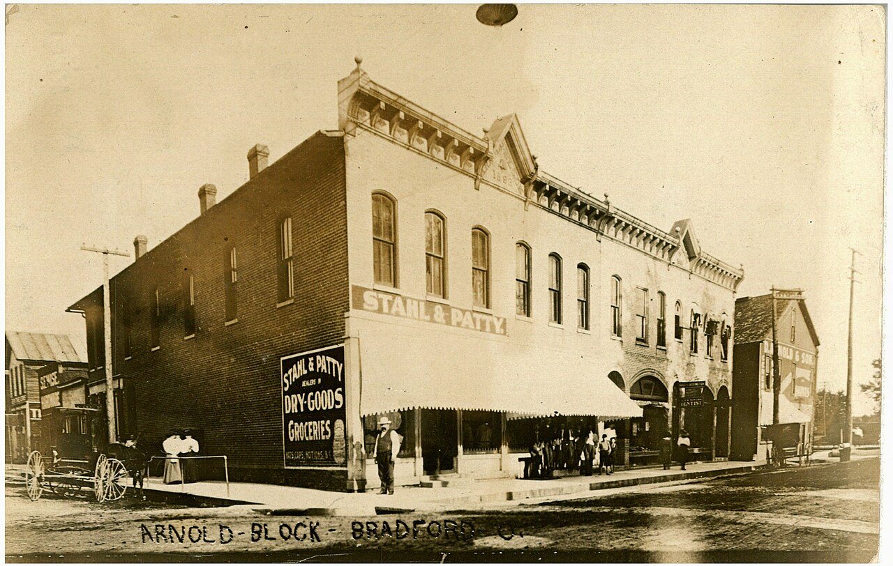
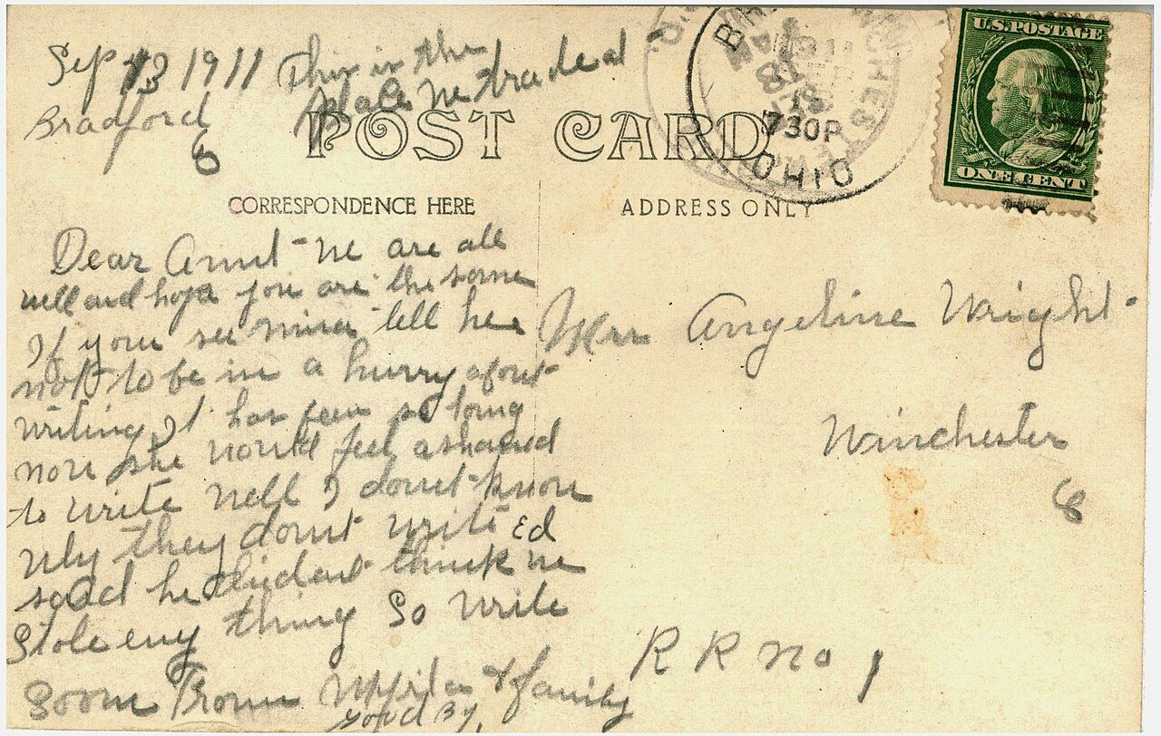
2 of 10 decades since 1900 have photos 🔁Retake an old viewArnold Block, 1911: stand where they stood+15 📦Share a family photoSign in to add one+10Famous people from Bradford
See all 2 →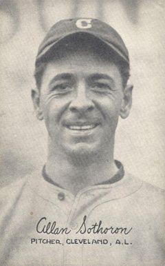
Bradford, decade by decade
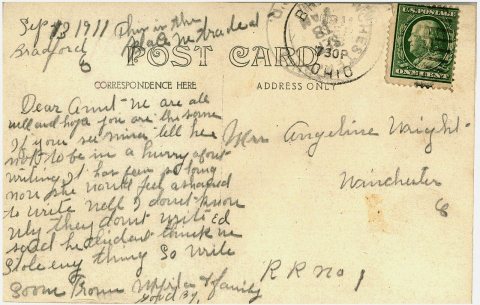
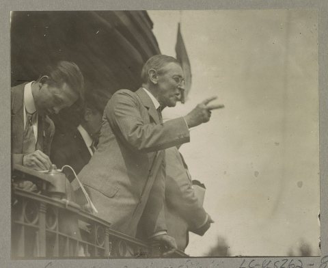
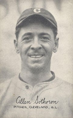
1990s
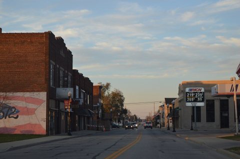
1 historic place in Bradford
1 place in Bradford is on the National Register of Historic Places, the country’s official list of buildings and places worth saving.
Where they are
When they were listed

Then & now
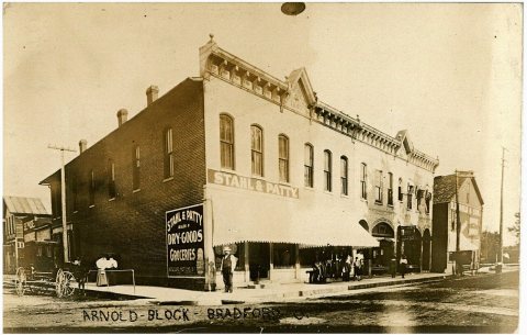
No then-and-now pairs yet. Take a photo from the same spot as Arnold Block (1911) and it appears here side by side.
🔁 Retake this view · +15Stories next door
nearby towns’ historyFrom Wikimedia Commons (5) and the Library of Congress (1). Images are copied here with their credits and licenses, shown on each photo’s page. Refreshed monthly.