NMNew Mexico rankings

Towns with the hottest summers in New Mexico

Ranked by the typical afternoon high in July, 1991–2020, from NOAA’s gridded climate normals for each town. Neighboring towns on the same 5 km grid square have the same numbers, so each square is listed once, under its largest town. 72 towns with 2,500+ residents.
NOAA U.S. Climate Normals, 1991–2020

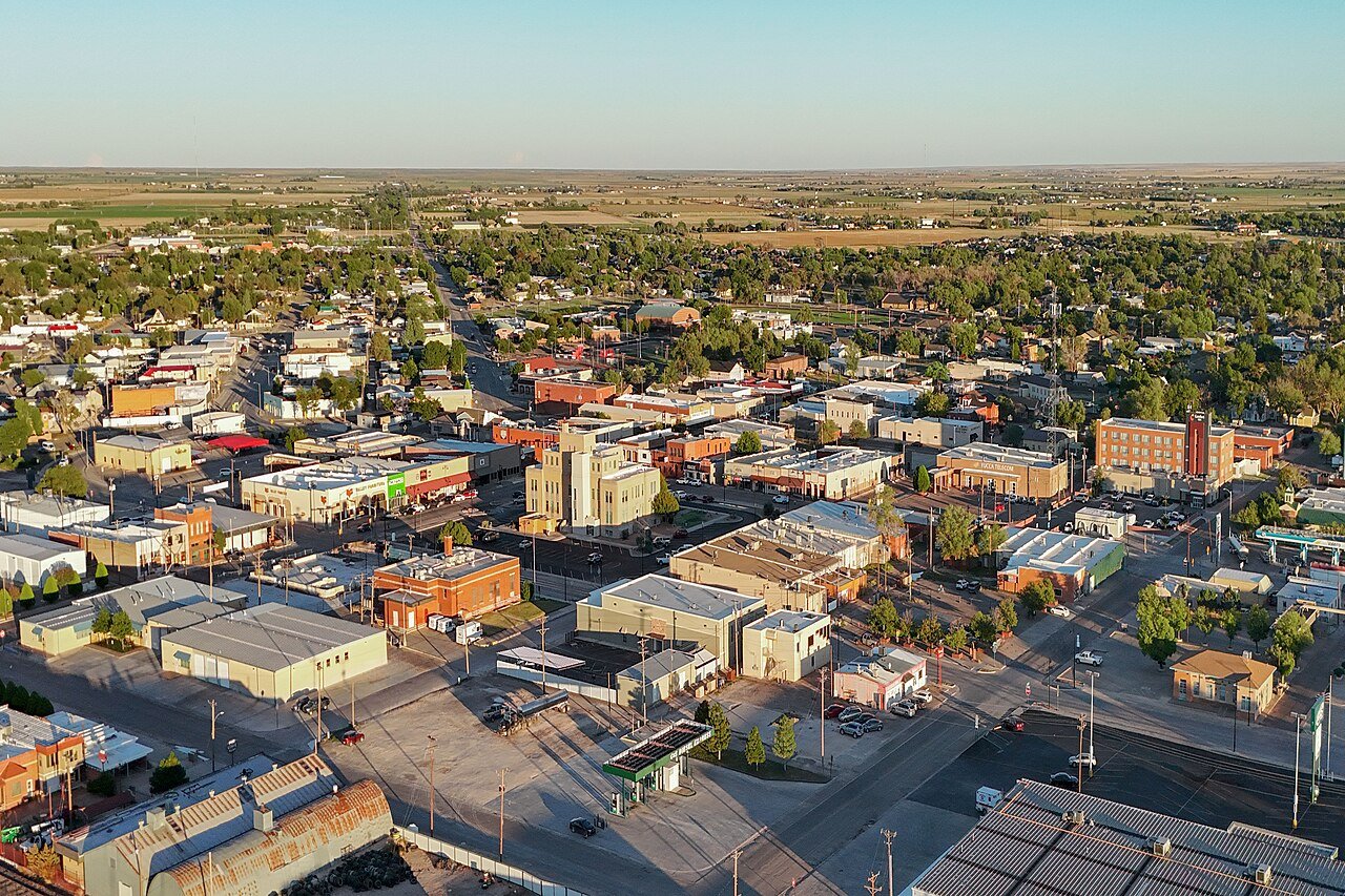
Aztec
New Mexico · Hottest summers

Where Aztec lands: #46 of 72

91.4° · Visit Aztec →

#TownJuly highDays at 90°+July low
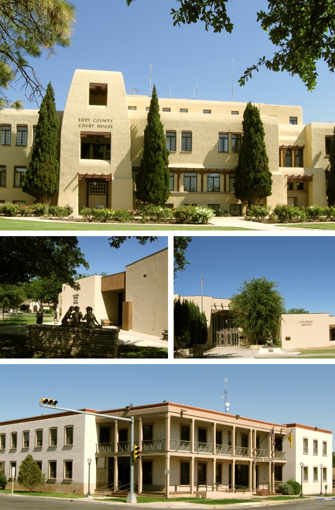
1 Carlsbad Carlsbad31,746 people 97.0° 119 69°
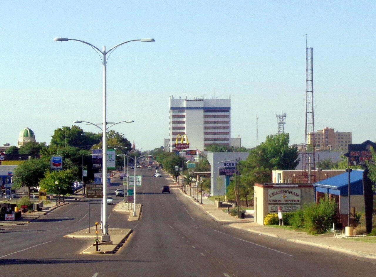
2 Roswell Roswell47,638 people 96.1° 110 66°
3 Sunland Park Sunland Park17,463 people 96.1° 107 71°
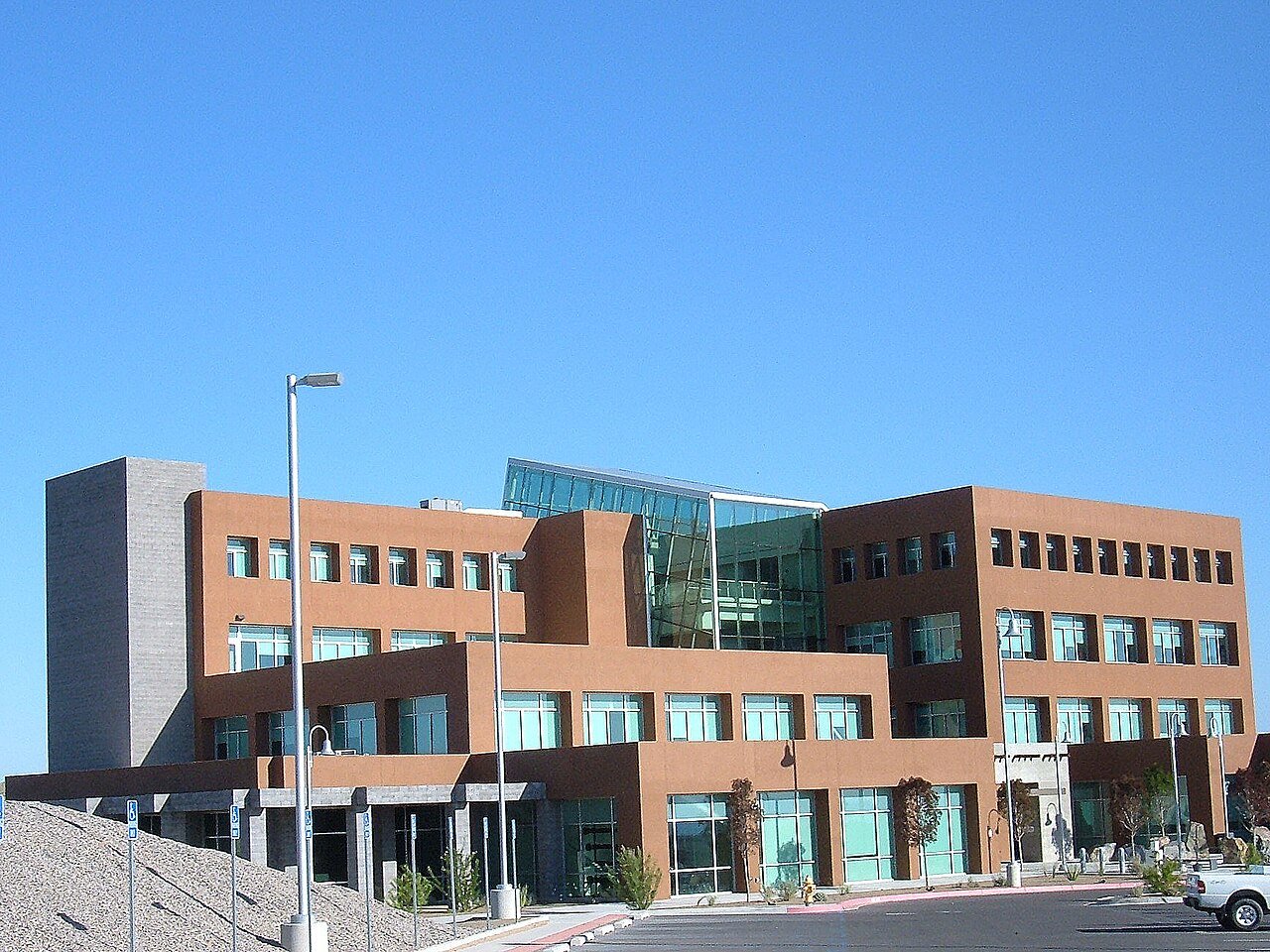
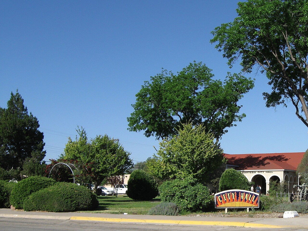
4 Artesia Artesia12,576 people 96.0° 109 67°
5 Las Cruces Las Cruces114,197 people 95.8° 109 68°
6 Anthony Anthony8,767 people 95.6° 114 71°
7 Map of Vado Vado2,895 people 95.4° 109 70°
8 University Park University Park2,782 people 95.4° 109 68°
9 Deming Deming15,221 people 95.3° 106 66°
10 Santa Teresa Santa Teresa6,041 people 95.2° 107 71°
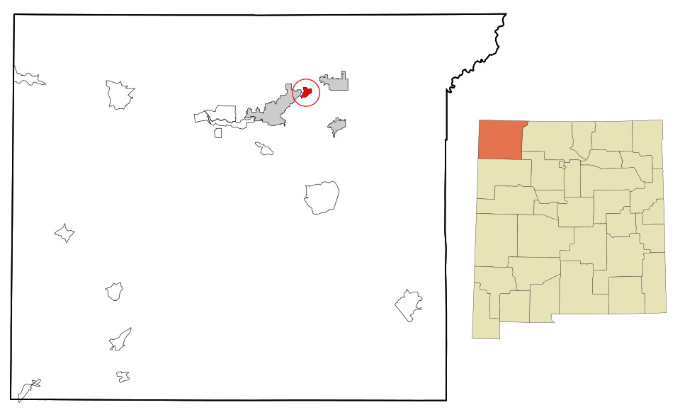
11 Map of Chaparral Chaparral18,186 people 95.1° 114 70°
12 Map of Shiprock Shiprock7,610 people 95.1° 50 63°
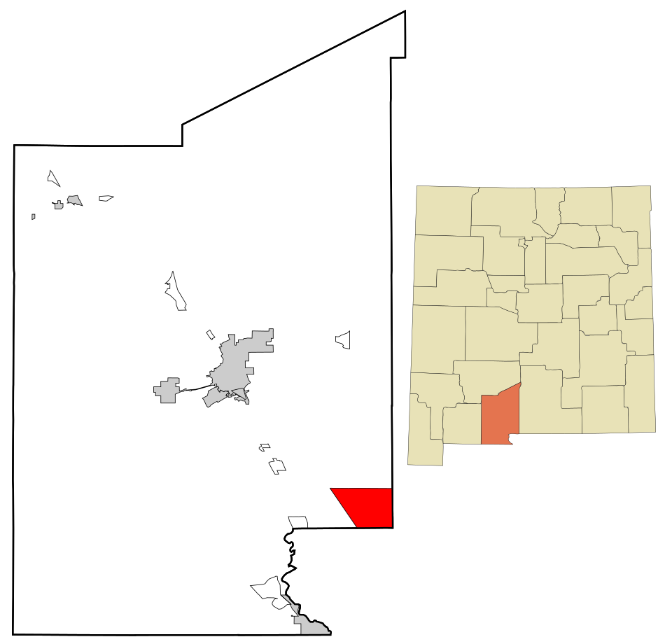
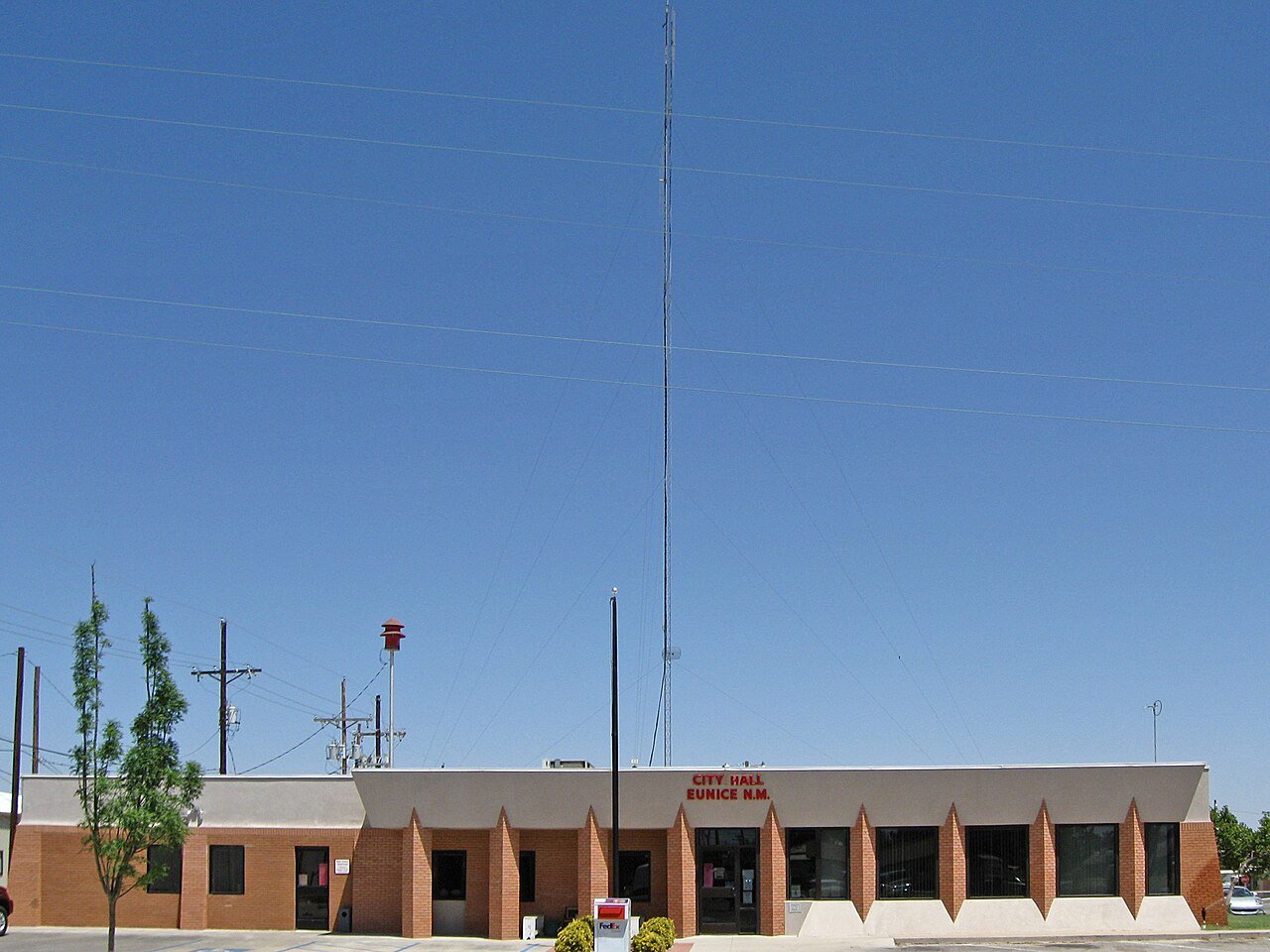
13 Eunice Eunice3,015 people 94.9° 104 67°
14 Tucumcari Tucumcari5,160 people 94.8° 92 66°
15 Holloman AFB Holloman AFB4,433 people 94.7° 119 68°
16 Socorro Socorro8,481 people 94.4° 82 62°
17 Map of Rio Communities Rio Communities4,925 people 94.4° 92 63°
18 Los Chaves Los Chaves4,838 people 94.4° 92 63°
19 Truth or Consequences Truth or Consequences6,019 people 94.3° 88 67°
20 Peralta Peralta3,404 people 94.2° 92 63°
21 Bosque Farms Bosque Farms4,071 people 94.0° 92 63°
22 El Cerro2,923 people 94.0° 92 63°
23 Hobbs Hobbs40,252 people 93.7° 104 66°
24 Albuquerque Albuquerque562,218 people 93.6° 106 62°
25 South Valley South Valley37,120 people 93.6° 69 63°
26 Los Ranchos de Albuquerque Los Ranchos de Albuquerque5,857 people 93.6° 106 62°
27 North Hobbs6,034 people 93.5° 104 66°
28 Alamogordo Alamogordo31,307 people 93.4° 91 66°
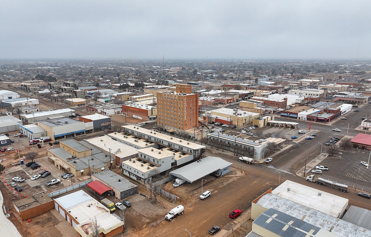
29 North Valley North Valley10,455 people 93.4° 67 62°
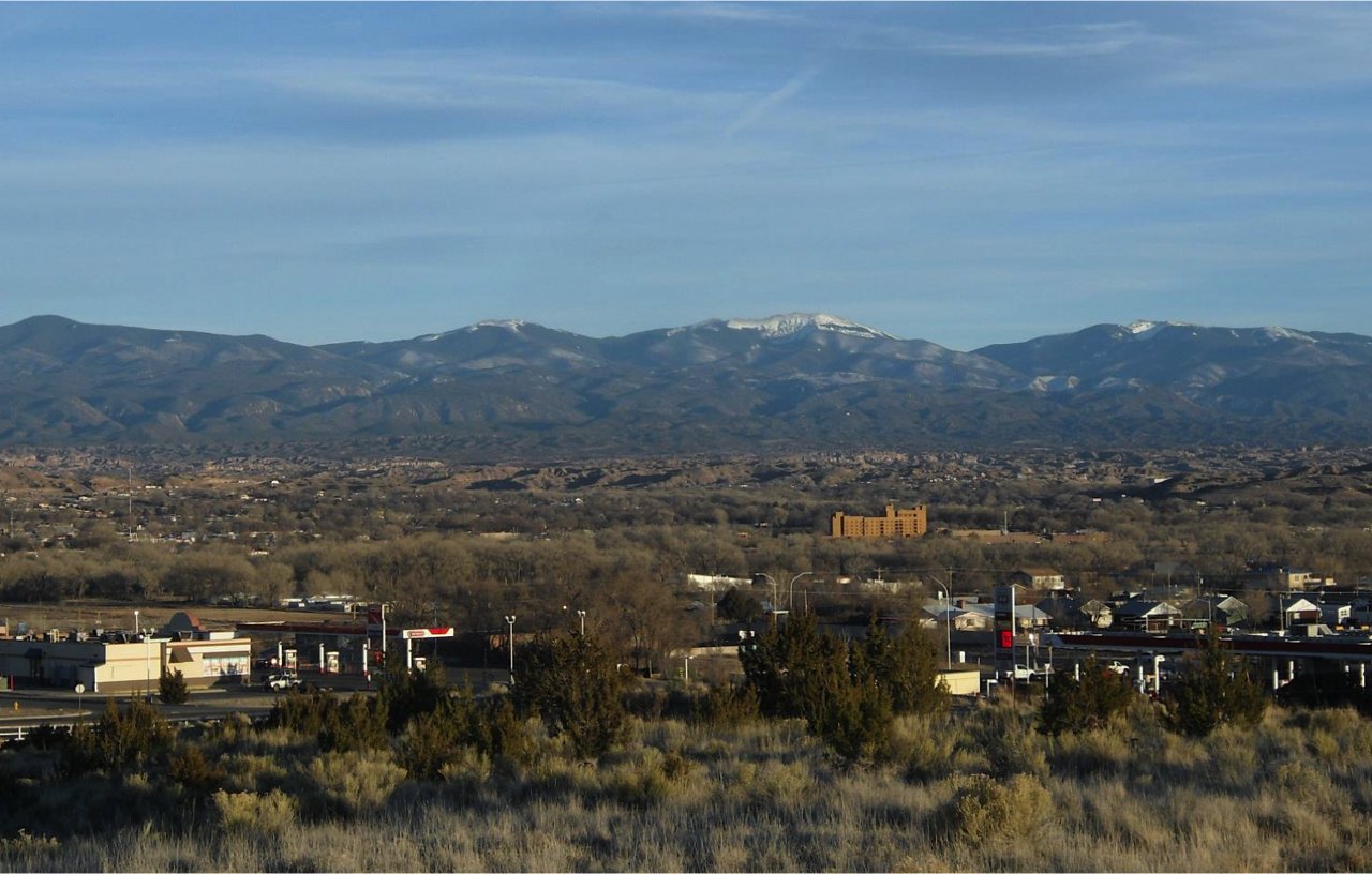
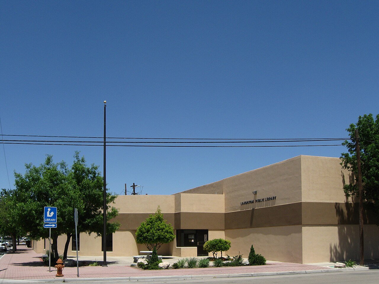
30 Lovington Lovington11,498 people 93.3° 101 65°
31 El Cerro Mission5,323 people 93.3° 92 62°
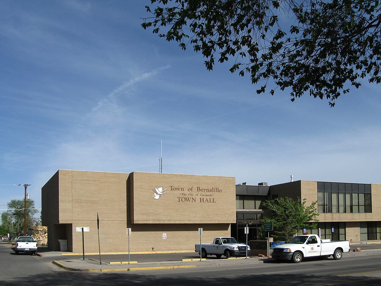
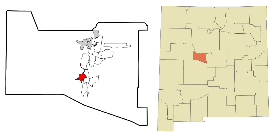
32 Bernalillo Bernalillo9,086 people 93.2° 67 61°
33 Corrales Corrales8,555 people 93.0° 67 62°
34 Map of Belen Belen7,450 people 93.0° 92 64°
35 Lee Acres4,272 people 93.0° 61 60°
36 Paradise Hills4,591 people 92.8° 67 62°
37 Map of Tularosa Tularosa2,597 people 92.7° 91 66°
38 Portales Portales11,968 people 92.5° 86 65°
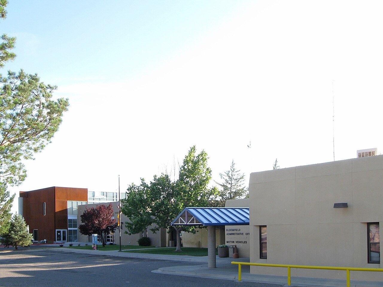
39 Bloomfield Bloomfield7,395 people 92.5° 61 60°
40 Los Lunas Los Lunas18,618 people 92.4° 92 64°
41 Crouch Mesa4,812 people 92.3° 61 60°
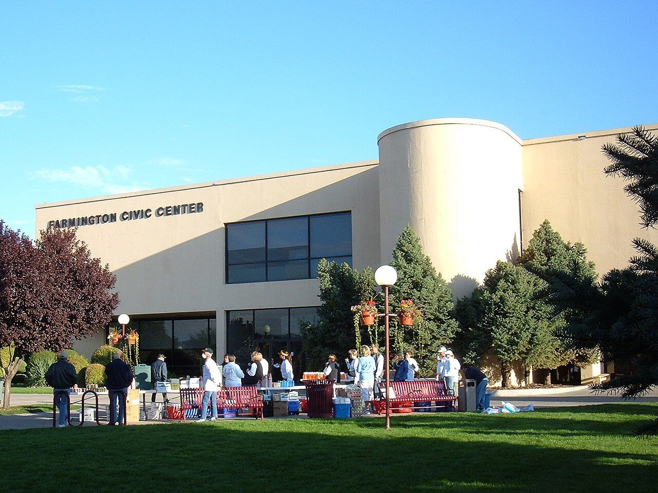
42 Farmington Farmington46,314 people 92.2° 69 60°
43 Kirtland AFB Kirtland AFB3,413 people 92.2° 69 61°
44 Map of Meadow Lake Meadow Lake4,259 people 92.0° 92 61°
45 Rio Rancho Rio Rancho108,515 people 91.9° 67 62°
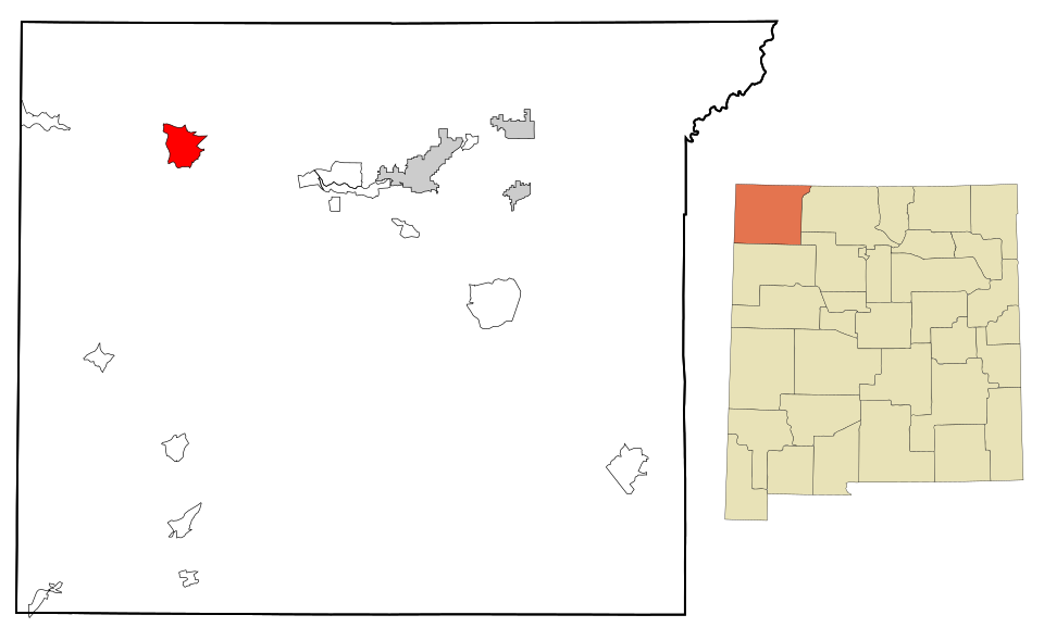
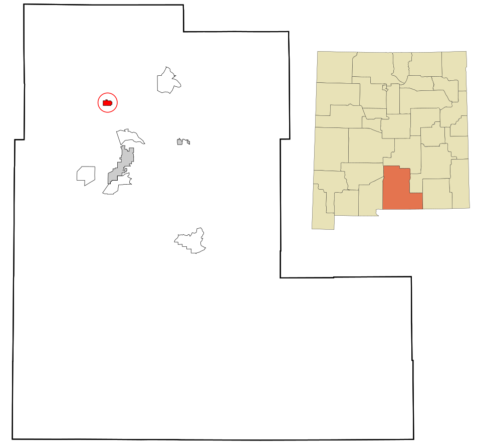
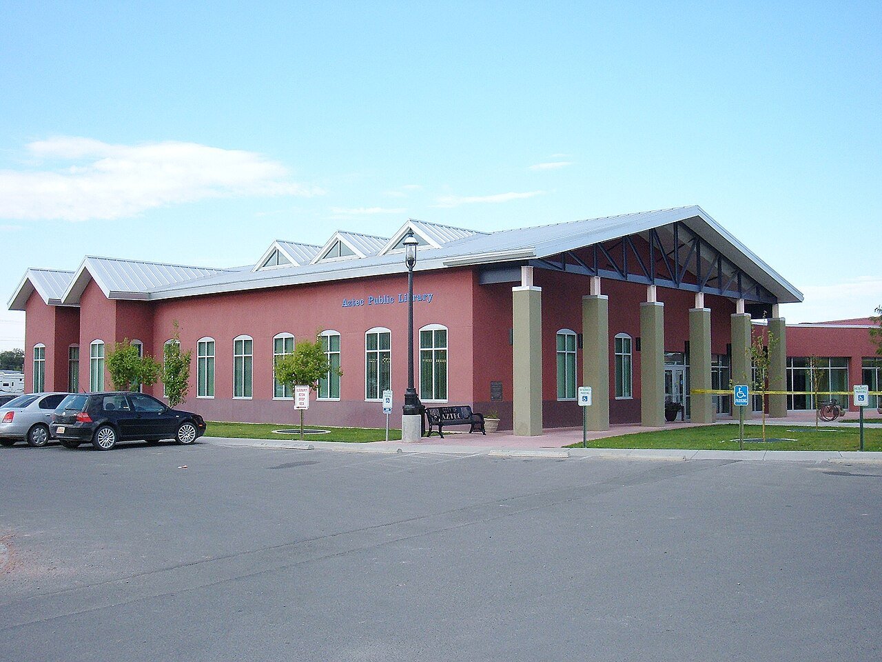
46 Aztec Aztec6,150 people 91.4° 61 60°
47 Map of Flora Vista Flora Vista2,770 people 91.4° 61 60°
48 Clovis Clovis37,942 people 91.2° 70 64°
49 Española Española10,473 people 90.3° 51 58°
50 La Mesilla2,697 people 90.2° 51 58°
51 Placitas Placitas4,223 people 89.9° 62 61°
52 Clayton Clayton2,753 people 89.7° 51 61°
53 Map of Grants Grants8,951 people 89.3° 31 56°
54 Zuni Pueblo Zuni Pueblo5,864 people 89.2° 54 54°
55 La Cienega La Cienega3,543 people 89.2° 41 58°
56 White Rock White Rock5,716 people 89.1° 41 58°
57 Gallup Gallup21,023 people 88.4° 35 56°
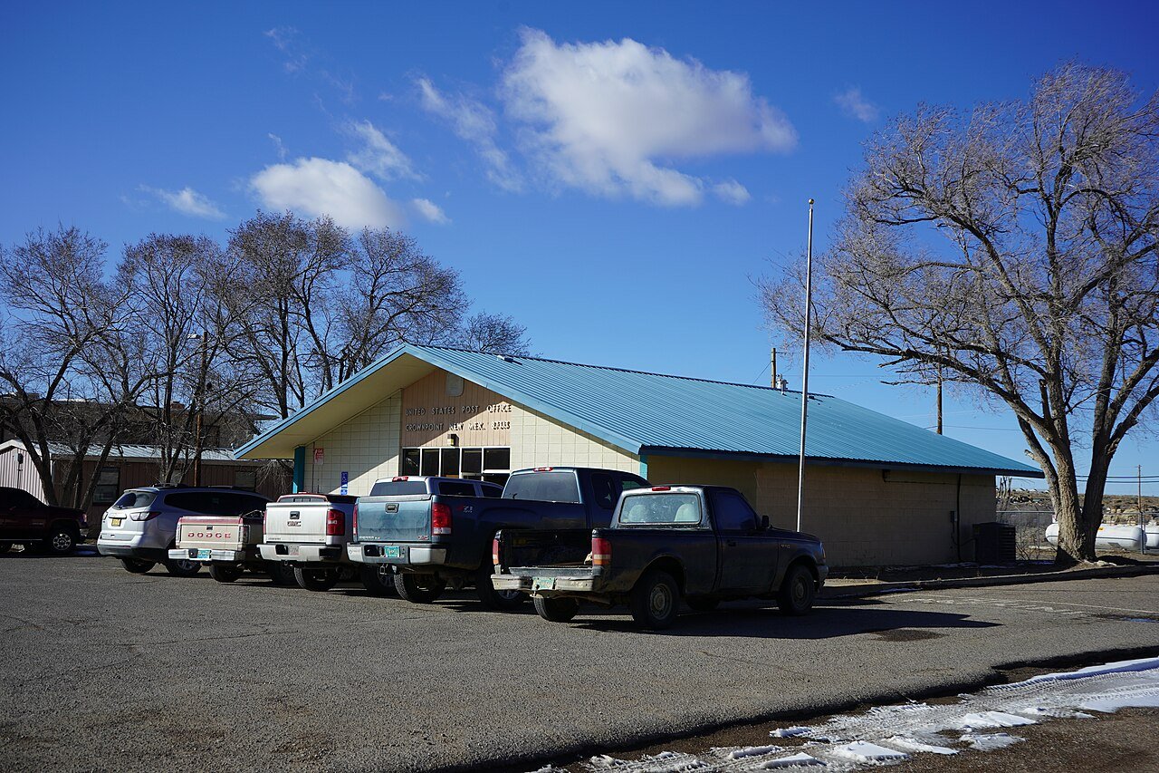
58 Crownpoint Crownpoint2,882 people 87.7° — 59°
59 Silver City Silver City9,536 people 87.3° 27 60°
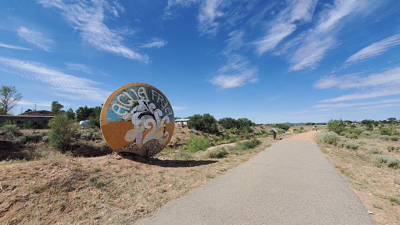
60 Agua Fria Agua Fria2,898 people 87.3° 24 57°
61 Sandia Heights3,160 people 86.9° 41 58°
62 Eldorado at Santa Fe Eldorado at Santa Fe5,619 people 86.7° 24 56°
63 Santa Fe Santa Fe89,019 people 86.2° 24 56°
64 Las Vegas Las Vegas13,000 people 85.9° 13 54°
65 Map of Dulce Dulce3,218 people 85.8° 23 51°
66 Map of Edgewood Edgewood6,124 people 85.4° 8 56°
67 Los Alamos Los Alamos13,317 people 85.3° 5 57°
68 Raton Raton6,026 people 84.9° 11 54°
69 Ranchos de Taos Ranchos de Taos2,536 people 84.5° 23 51°
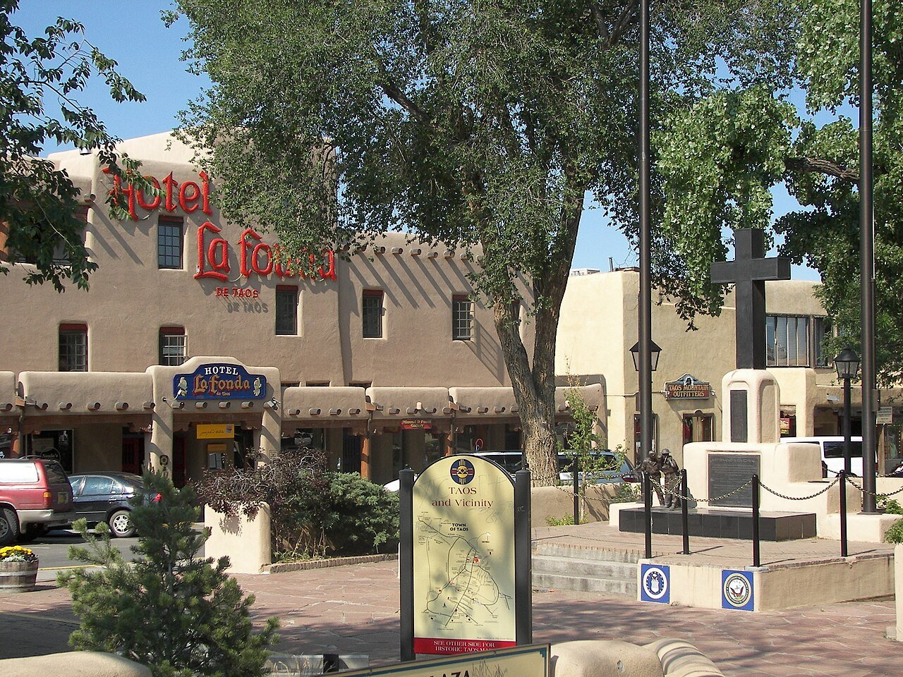
70 Taos Taos6,458 people 84.3° 23 50°
71 Ruidoso Downs Ruidoso Downs2,655 people 82.5° 6 53°
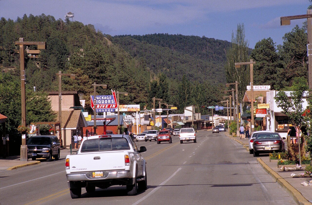
72 Ruidoso Ruidoso7,699 people 81.7° 6 54°

How this ranking works

We rank every town by the typical afternoon high in July, 1991–2020, from NOAA’s gridded climate normals for each town. The town with the highest figure ranks #1. Normals are 30-year averages, not a forecast, and each town’s Climate page shows its whole year month by month.

Temperatures and rainfall come from NOAA’s gridded normals, about 5 km (3 miles) square, read at each town’s center, so hills and coastlines are built in. Towns whose centers fall in the same square have the same numbers, so only the largest of them is listed.

Only towns with at least 2,500 residents are ranked; Census estimates for smaller places are too uncertain. Population and income: U.S. Census Bureau American Community Survey 5-year estimates. Climate: NOAA NCEI U.S. Climate Normals, 1991–2020. Town photos: Wikimedia Commons, credited on each town’s page.

Same ranking in other states