Chama’s history is
mostly unwritten
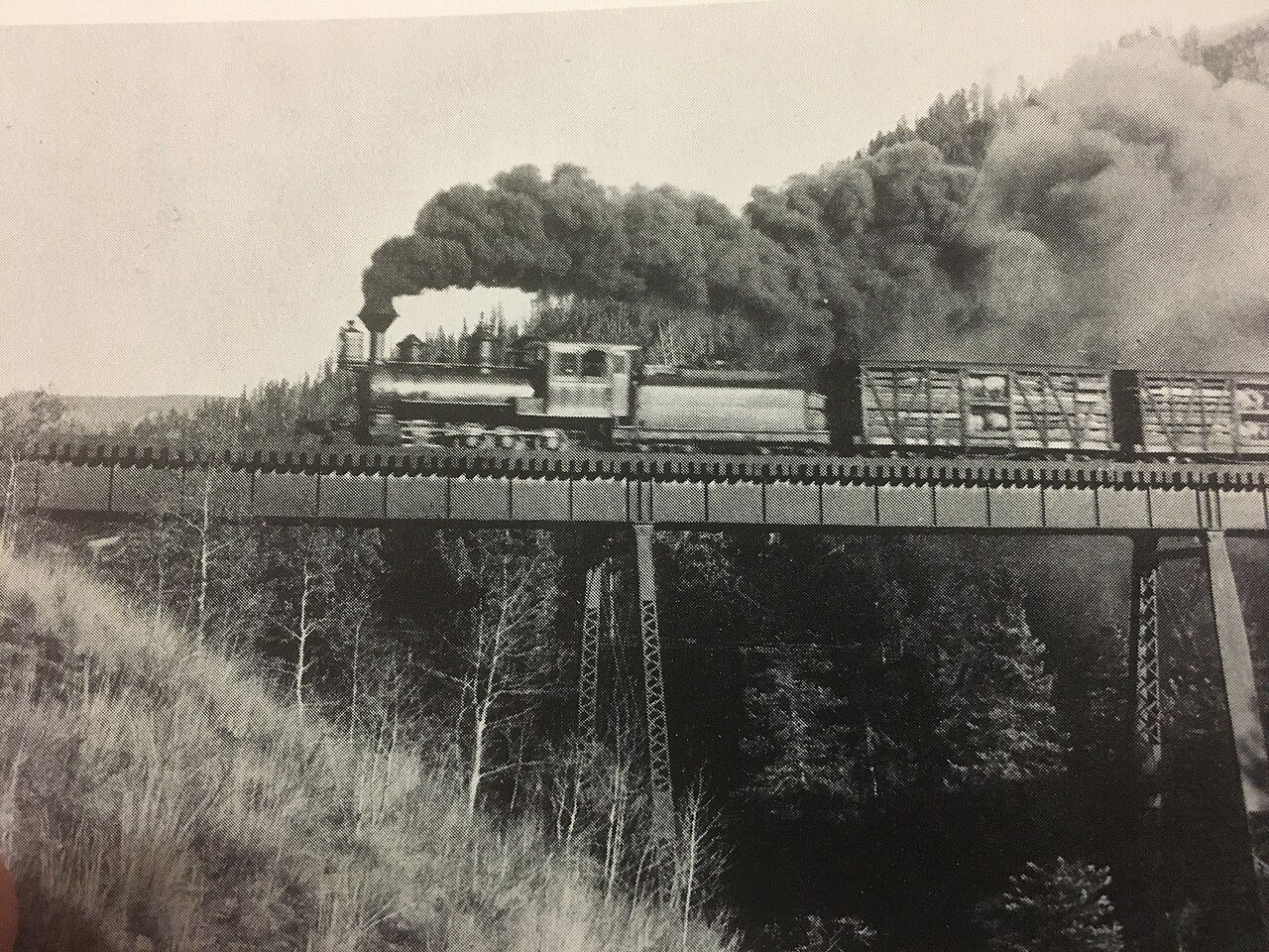
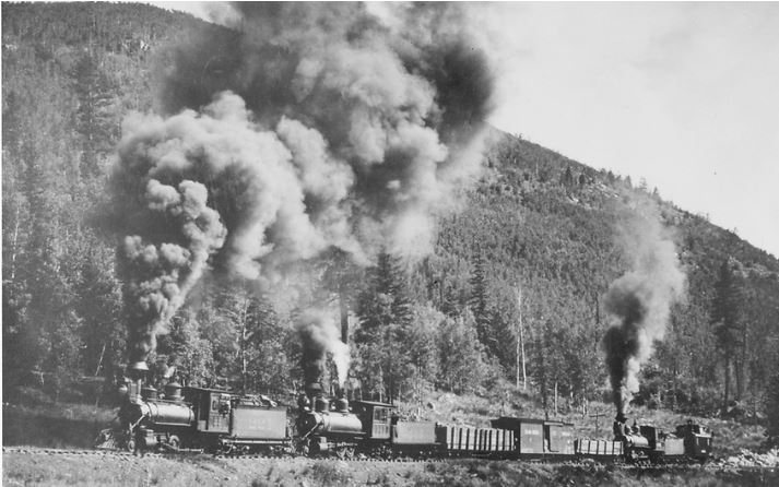
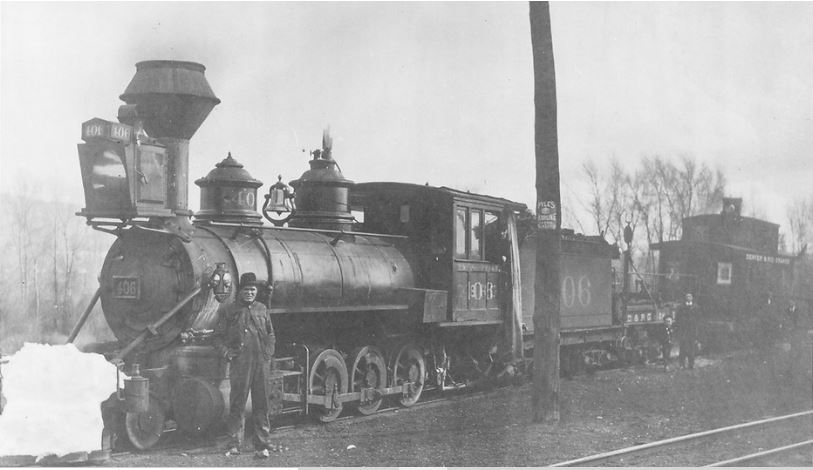
The public archives hold only 3 old photos of Chama. The rest are in attics, shoeboxes and the historical society. Help start the collection.
The story
from WikipediaRead it all ↗Chama was originally part of the Tierra Amarilla Land Grant. In 1880 the Denver & Rio Grande Railroad began construction of its San Juan Extension from Antonito, Colorado westward toward a mining district in the northern San Juan Basin of Colorado. The railroad needed an engine terminal for helper locomotives, near to the western foot of the steep gradient toward Cumbres Pass. It chose a site on the western bank of the Rio Chama where the railroad crossed it, for the terminal and its supporting townsite, naming the village for the river crossing. Train service began on February 1, 1881 and a post office was established that year.
Text from Wikipedia, licensed CC BY-SA 4.0.
Timeline
built from the dates on the items belowStart Chama’s collection
The first neighbors to add old photos shape how Chama’s history is told.
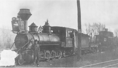
1 of 10 decades since 1900 have photos 🔁Retake an old viewDenver & Rio Grande RR 226, at Lo…, 1900: stand where they stood+15 📦Share a family photoSign in to add one+10Chama, decade by decade
1990s
1 historic place in Chama
1 place in Chama is on the National Register of Historic Places, the country’s official list of buildings and places worth saving.
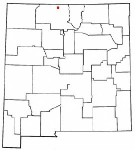
Where they are
When they were listed
Then & now
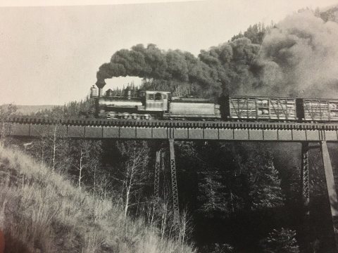
No then-and-now pairs yet. Take a photo from the same spot as Denver & Rio Grande RR 226, at Lobato,NM (1900) and it appears here side by side.
🔁 Retake this view · +15Stories next door
nearby towns’ historyFrom Wikimedia Commons (6). Images are copied here with their credits and licenses, shown on each photo’s page. Refreshed monthly.