The story
from WikipediaRead it all ↗Antonito began life as a sheep herding camp known as San Antonio Junction, referring to its proximity to the Conejos and San Antonio rivers. When the Denver & Rio Grande Railroad built its line south from Alamosa, the town was renamed Antonito and became an important town on the railroad line. The San Antonio, Colorado, post office moved north to Antonito on January 24, 1881, and the Town of Antonito was incorporated on December 29, 1889. There are currently no major industries located in Antonito, but the historic Cumbres & Toltec Scenic Railroad has one terminus in Antonito and the other in Chama, New Mexico. The C&TS also has maintenance facilities and rail yard in the town. The Colorado Pacific Rio Grande Railroad continues to operate the rail line from Antonito to Alamosa.
Text from Wikipedia, licensed CC BY-SA 4.0.
Timeline
built from the dates on the items belowStart Antonito’s collection
The first neighbors to add old photos shape how Antonito’s history is told.
1 of 10 decades since 1900 have photos 🔁Retake an old viewColorado [Adams County - Las Anim…, 1940: stand where they stood+15 📦Share a family photoSign in to add one+10Famous people from Antonito
See all 2 →Antonito, decade by decade
1990s
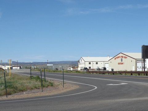
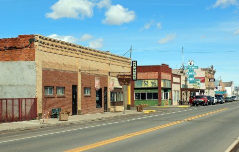
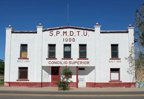
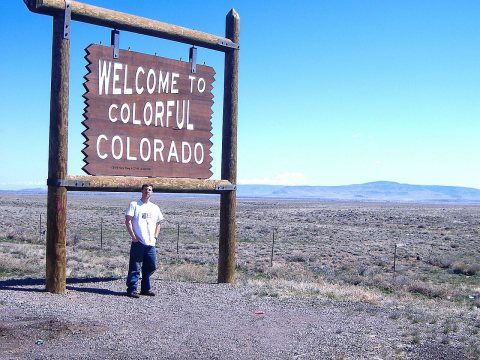
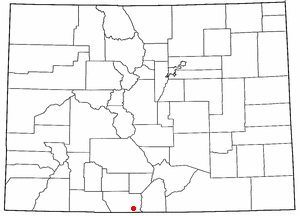
6 historic places in Antonito
Antonito has 6 listings on the National Register, and they protect 19 historic buildings, because Denver & Rio Grande Railroad San Juan Extension (Boundary Increase) alone counts 15.
Where they are
When they were listed
Then & now
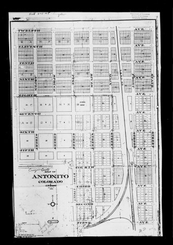
No then-and-now pairs yet. Take a photo from the same spot as Colorado [Adams County - Las Animas County (part)] (1940) and it appears here side by side.
🔁 Retake this view · +15From Wikimedia Commons (6). Images are copied here with their credits and licenses, shown on each photo’s page. Refreshed monthly.