The story
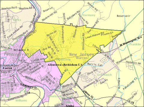
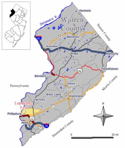
from WikipediaRead it all ↗What is now Lopatcong Township was created as Phillipsburg Township on March 7, 1851, by an act approved by the New Jersey Legislature from portions of Greenwich Township and Harmony Township. After Phillipsburg was incorporated as an independent municipality on March 8, 1861, the township changed its name to Lopatcong as of March 18, 1863, after the Lopatcong Creek in the area.
The name of the creek and township, Lopatcong, has its origin in four words of the Lenape Native Americans, "Lowan peek achtu onk," which means "winter watering place for deer".
Text from Wikipedia, licensed CC BY-SA 4.0.
Start Lopatcong’s collection
The first neighbors to add old photos shape how Lopatcong’s history is told.
0 of 10 decades since 1900 have photos 🗓️Date a photo1 archive item has no date+2 📦Share a family photoSign in to add one+10Lopatcong, decade by decade
2000
unknown1 item


Then & now
When neighbors add old photos, retakes from the same spot appear here side by side.
Stories next door
nearby towns’ historyFrom Wikimedia Commons (5). Images are copied here with their credits and licenses, shown on each photo’s page. Refreshed monthly.