Lee’s story is
mostly unwritten
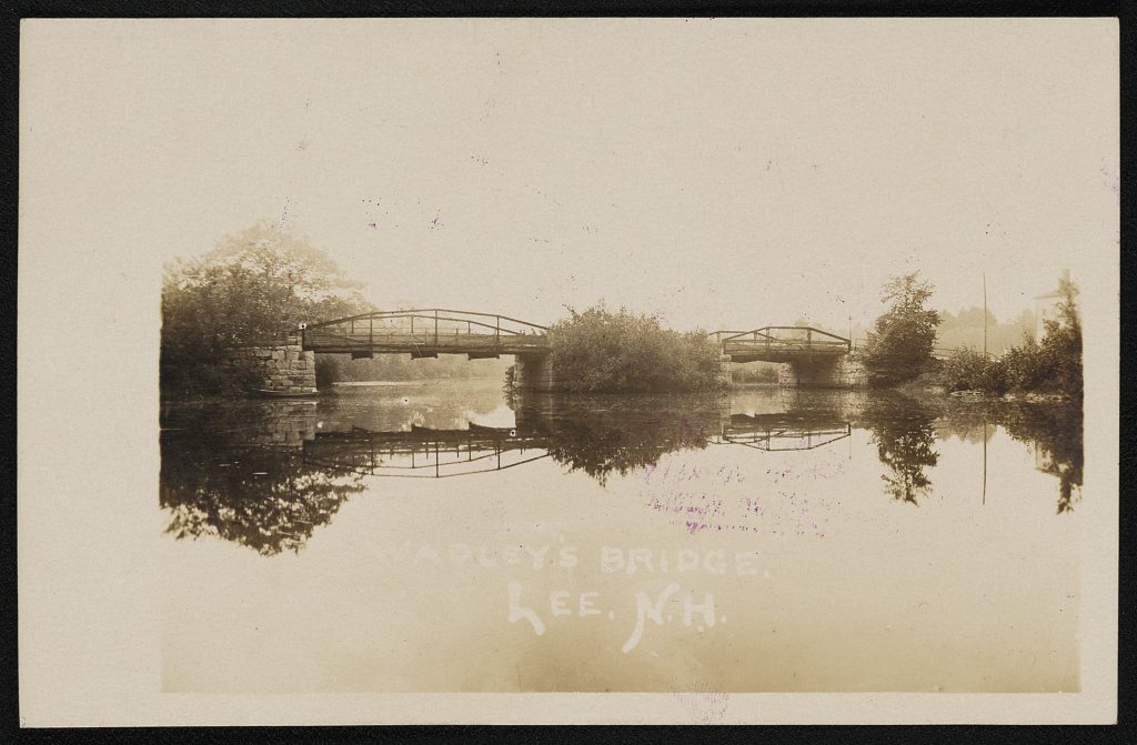
The public archives hold just one old photo of Lee. The rest are in attics, shoeboxes and the historical society. Help start the collection.
The story
from WikipediaRead it all ↗Lee was first settled by Europeans in 1657 as part of the extensive early Dover township. It includes Wheelwright Pond, named for the Reverend John Wheelwright, the founder of Exeter.
Wheelwright Pond was the site of a noted early battle during King William's War. Indians, incited by the government of New France, attacked Exeter on July 4, 1690. They were pursued by two infantry companies raised for the purpose, who overtook them at Wheelwright Pond on July 6, 1690. Fierce fighting on that day would leave 3 officers and 15 soldiers dead, together with a large number of Indians. Among the dead were Captain Noah Wiswall, Lieutenant Gershom Flagg, and Ensign Edward Walker of the Massachusetts Bay Colony.
Text from Wikipedia, licensed CC BY-SA 4.0.
Timeline
built from the dates on the items belowStart Lee’s collection
The first neighbors to add old photos shape how Lee’s history is told.
1 of 10 decades since 1900 have photos 🔁Retake an old viewWadley's bridge, 1908: stand where they stood+15 📦Share a family photoSign in to add one+10Lee, decade by decade
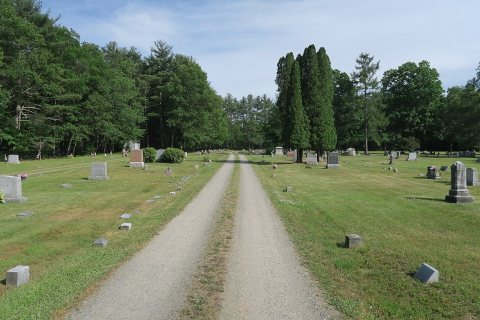
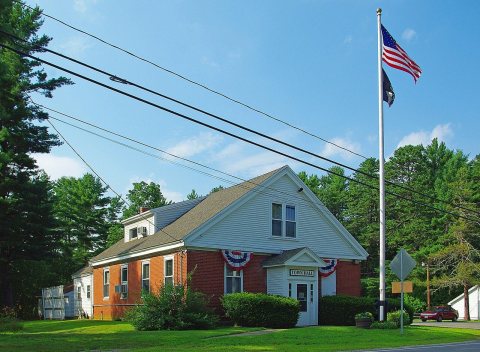
1990s
Then & now
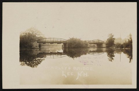
No then-and-now pairs yet. Take a photo from the same spot as Wadley's bridge (1908) and it appears here side by side.
🔁 Retake this view · +15Stories next door
nearby towns’ historyFrom Wikimedia Commons (9) and the Library of Congress (1). Images are copied here with their credits and licenses, shown on each photo’s page. Refreshed monthly.